Mechanical Engineering | 3D Scanning | 3D Modelling
Tag: port-facilities
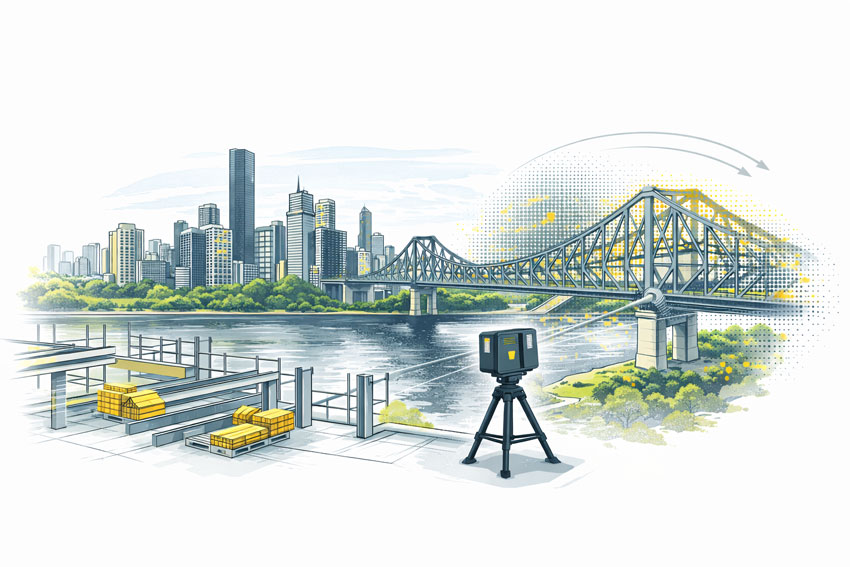
Hamilton By Design provides mechanical engineering, 3D LiDAR scanning and CAD support for port facilities and waterfront industrial infrastructure.
Port facilities can include wharves, loading and unloading systems, conveyors, transfer chutes, access platforms, walkways, pipework, pumping systems and supporting mechanical equipment. Projects in these environments often involve restricted access, operational constraints, corrosion exposure and complex interfaces with existing structures.
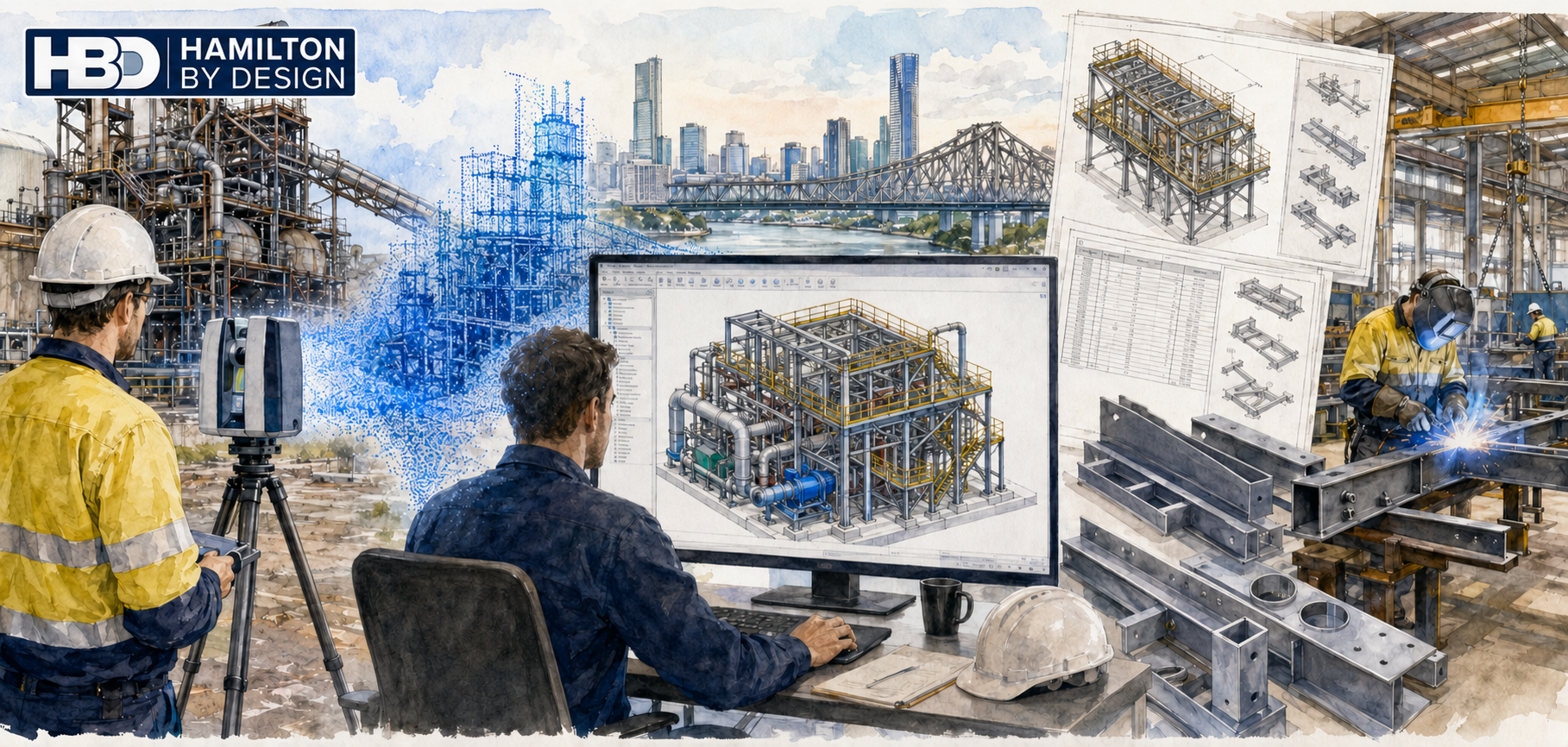
Our services can include existing-condition scanning, point-cloud registration, mechanical design, scan-to-CAD modelling, equipment layouts, clash detection, machine guarding and fabrication drawings. LiDAR scanning can efficiently capture port equipment and surrounding infrastructure while reducing reliance on manual measurements in difficult-access areas.
The resulting point clouds and 3D CAD models can support equipment replacement, maintenance planning, brownfield modifications, access improvements and shutdown work. Proposed designs can be checked against existing geometry to identify connection points, operating clearances and installation conflicts before fabrication begins.
Deliverables may include registered point clouds, 3D CAD models, general arrangement drawings, fabrication drawings and data suitable for SolidWorks, AutoCAD, Inventor, ReCap and Navisworks workflows.
Specialist maritime, coastal, civil and structural engineering should be completed by appropriately qualified professionals where required.
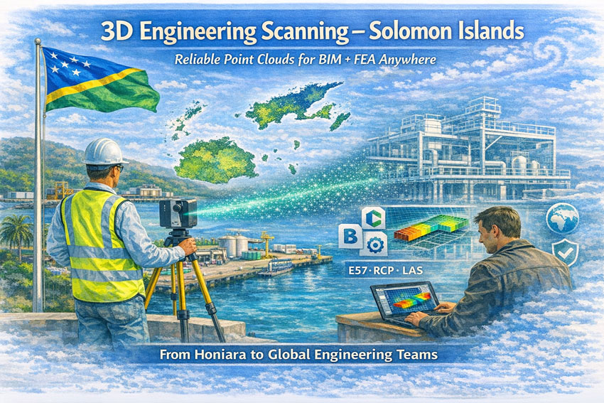
3D Engineering Scanning Solomon Islands – Point Clouds for BIM & FEA
Reliable Point Clouds for BIM, CAD & FEA Anywhere in the World
Hamilton By Design provides engineering-grade 3D laser scanning services across the Solomon Islands, delivering accurate point clouds that allow designers, engineers, and asset owners to work from real measured data—without the need to be on site.
From Honiara ports to remote island infrastructure, our scans create the digital backbone for modelling, analysis, and fabrication.
Engineering Data You Can Trust
Many assets in the Solomon Islands have:
limited or missing drawings
decades of informal modifications
corrosion from marine environments
cyclone and seismic exposure
mixed construction standards
Traditional measurement methods struggle in these conditions. Our 3D scanning service captures the true as-built condition so your team can:
create BIM and CAD models
perform structural and mechanical FEA
plan brownfields tie-ins
fabricate off-site with confidence
complete clash detection before shutdowns
We deliver open, neutral formats so engineers anywhere in Australia, New Zealand, Asia or Europe can immediately begin work.
What We Deliver
Core Outputs
Registered point clouds – E57 / RCP / LAS
Colourised engineering datasets
Site grid or project datum
Mesh models for Navisworks
2D plans, elevations and sections
Optional Engineering Deliverables
Scan-to-BIM models (LOD 200–350)
Steel and pipe geometry extraction
Tie-in coordinates for upgrades
Deformation and roundness reports
Clash and constructability reviews
All data is processed in Australia under formal QA so it can be relied upon for design approvals and FEA studies.
Designed for Solomon Islands Conditions
Scanning in the Solomons requires Pacific experience:
high heat and humidity
sudden tropical rain
reflective stainless and bright sunlight
inter-island logistics
remote power availability
cyclone season planning
Our workflows are built for efficient field capture with processing completed by our Australian engineering team.
Industries We Support
Honiara ports and marine infrastructure
Power generation and substations
Water and wastewater assets
Timber and processing facilities
Government and commercial buildings
Bridges and civil structures
Post-cyclone condition surveys
A Digital Backbone for Global Teams
A quality scan is the backbone of every downstream task. If the backbone is wrong, every model and FEA result is compromised.
Our service provides a foundation that:
removes re-measure risk
supports remote engineering
shortens shutdowns
improves safety and constructability
Designers anywhere in the world can open our data and begin work immediately.
Talk to Us About Your Solomon Islands Project
Whether you need a single building, a wharf, or a full plant captured, we can mobilise quickly and deliver data your team can trust.
Hamilton By Design Engineering certainty through 3D scanning.
Reality capture that stands up to design, fabrication and installation in remote industrial environments
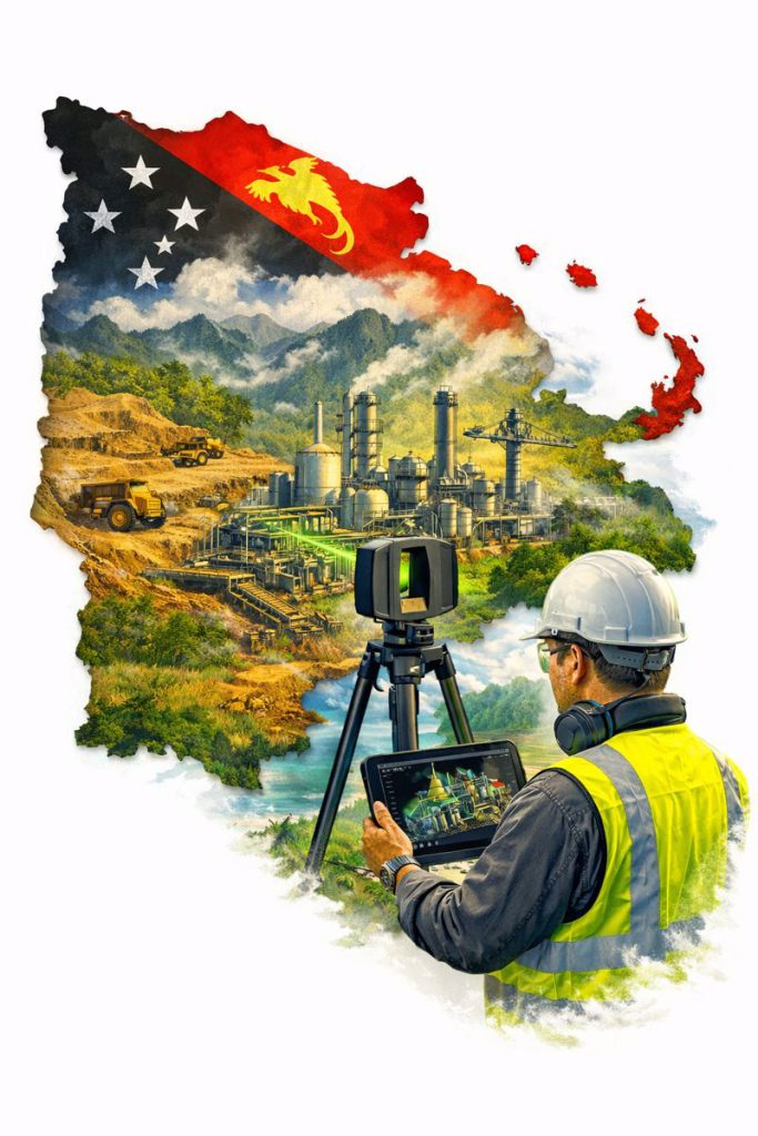
Papua New Guinea (PNG) is home to complex, high-value industrial assets — from mining and mineral processing plants through to ports, power generation and remote infrastructure. These projects are often delivered under tight shutdown windows, difficult logistics and challenging environmental conditions.
In these environments, engineering-quality 3D scanning is not a “nice to have” — it’s a practical tool that reduces risk by capturing accurate as-built conditions and converting them into deliverables engineers can trust.
Hamilton By Design provides engineering-led LiDAR scanning and scan-to-CAD modelling workflows designed for real project outcomes: upgrades that fit, installations that align, and drawings that reflect reality.
Why “Engineering Quality” Matters in PNG
Remote projects can’t afford rework.
When access is limited and mobilisation costs are high, even a small design error can cause major delays:
fabricated components don’t fit
tie-ins clash with existing pipework
platforms and handrails foul equipment clearances
shutdown windows blow out due to unexpected constraints
Engineering-quality reality capture reduces these risks by ensuring design starts from verified geometry — not assumptions or outdated drawings.
What Engineering-Quality 3D Scanning Includes
Not all scanning services deliver engineering-grade outcomes. “Engineering quality” means the capture and deliverables are suitable for mechanical and structural decisions, including fabrication and installation.
Key elements include:
Survey control and consistent site referencing (where required)
Defined accuracy targets aligned to project tolerances
Model verification against point cloud prior to issue
The goal is simple: data you can design from.
Typical PNG Use Cases
1) Plant Upgrades and Brownfield Modifications
For conveyors, chutes, pipework, pump skids, structural platforms and access upgrades, scanning provides accurate spatial context for clash-free design.
2) Shutdown Planning and Constructability Reviews
Point clouds help teams plan:
access routes and lifting paths
installation sequencing
workpack scoping and constraints
This is especially valuable when shutdown windows are short and remote support is required.
3) Scan-to-CAD for Fabrication and Fit-Up
When components must be fabricated off-site and installed first time, engineering-grade LiDAR scanning provides the geometry needed for:
interface modelling
connection detailing
fabrication drawings
4) As-Built Documentation and Asset Records
Many sites have incomplete legacy drawings. A scanned dataset can become the “single source of truth” for future upgrades and maintenance planning.
Choosing the Right Scanning Tool for PNG Conditions
PNG sites often include large structures, dense plant, tight access and harsh environmental conditions. In these cases, engineering-grade LiDAR is typically required because it provides:
long-range capture across large facilities
reliable geometry in low-light / indoor areas
accuracy suitable for engineering design decisions
Other capture methods (visual scanning or photogrammetry) can be useful for context and surfaces, but if fabrication, tie-ins, and fit-up matter, LiDAR is usually the right choice.
Deliverables That Engineers Actually Use
Engineering-quality reality capture is only valuable if it becomes practical outputs.
Common deliverables include:
Registered point clouds (E57 / RCP / RCS)
2D layouts, sections and elevations extracted from scans
Model extraction and verification against point cloud
Issue deliverables in formats aligned to the project team
This approach reduces site revisits and ensures the data is fit for purpose.
Why Engineering-Led Reality Capture Matters
3D scanning becomes far more valuable when it’s integrated with mechanical and structural engineering — because the deliverables are designed to support:
design decisions
fabrication requirements
installation sequencing
long-term asset management
Engineering-led reality capture means scanning is not the end product — it is the foundation for a better engineering outcome.
Final Thoughts
For industrial projects in Papua New Guinea, engineering-quality 3D scanning helps teams deliver upgrades with confidence — particularly where logistics are difficult, shutdown time is limited, and “measure twice” is expensive.
If the project depends on fit-up, constructability and accurate as-built conditions, start with reality capture that is designed for engineering — not just visualisation.
Engineering-Grade Reality Capture for Live Construction Environments
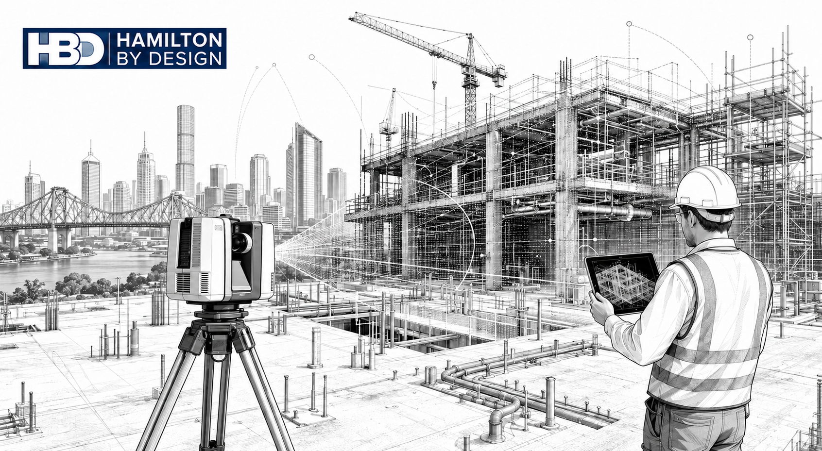
Construction projects in Brisbane operate under conditions that place unique pressure on engineers, builders, and asset owners. Subtropical climate, flood-affected sites, reactive soils, dense CBD logistics, and a strong reliance on brownfield upgrades all increase one fundamental risk: designing and constructing from incorrect or outdated site information.
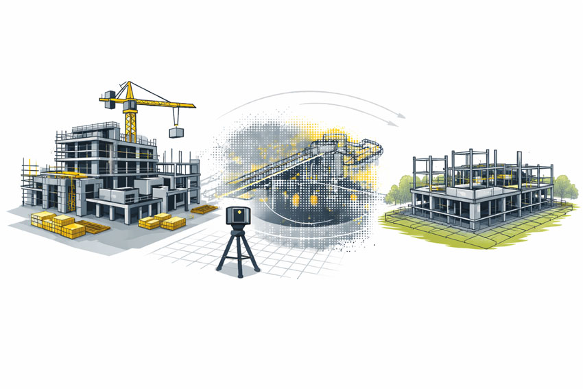
A 3D construction scan in Brisbane provides engineering-grade certainty by capturing what actually exists on site, enabling informed decisions during live construction, refurbishment, and staged delivery projects.
What Is a 3D Construction Scan?
A 3D construction scan uses high-accuracy LiDAR laser scanning to capture the true as-built condition of a site at a specific point in time. Unlike visual scans or phone-based capture, engineering-grade scanning produces registered point clouds that can be trusted for:
Construction coordination
Design verification
Clash detection
Fabrication-ready modelling
As-built documentation
Hamilton By Design delivers these outcomes through its engineering-led laser scanning services, where accuracy, downstream use, and construction risk are defined before scanning begins.
Why Brisbane Construction Projects Require a Different Approach
Subtropical Climate & Structural Movement
Brisbane’s humidity and temperature cycles contribute to thermal expansion, contraction, and cumulative movement across steelwork, pipe runs, conveyors, façades, and plant installations.
When construction decisions rely on assumed geometry or legacy drawings, even small movements can result in:
Misaligned interfaces
Fabrication clashes
Installation delays
A 3D construction scan captures the current, in-situ geometry, allowing engineers to design and coordinate based on reality — not historical intent.
Flood-Affected & Modified Assets
Many Brisbane sites — particularly river-adjacent commercial and industrial facilities — have undergone multiple flood recovery and modification cycles. Over time, this results in:
Changed floor levels
Unrecorded ramps and bunds
Altered drainage and gravity-dependent systems
Construction scanning establishes a true datum and elevation baseline, supporting engineering verification of falls, access clearances, and tie-in points.
This capability aligns directly with Hamilton By Design’s broader reality capture and as-built verification workflows.
Brownfield Construction Is the Norm
A significant proportion of Brisbane construction work occurs in live, operational environments, including:
Commercial refurbishments
Industrial plant upgrades
Infrastructure modifications
Asset life-extension projects
These sites often contain undocumented steelwork, legacy penetrations, and accumulated modifications. A 3D construction scan enables non-intrusive capture of this complexity, supporting engineering coordination without disrupting operations.
Reactive clay soils common throughout South-East Queensland contribute to long-term differential settlement, particularly where new construction interfaces with older structures. Over time, this can lead to:
Misaligned columns and beams
Drift in conveyors and pipe racks
Geometry that no longer matches design intent
A construction scan captures current condition, enabling engineers to design extensions and upgrades that reflect actual site geometry.
Engineering-led reality capture, CAD modelling, and fabrication-ready design for Queensland industry
Hamilton By Design provides 3D Engineering Services in Brisbane by integrating engineering-grade reality capture, mechanical engineering, and fabrication-ready documentation into a single accountable workflow.
Our approach builds on proven internal capabilities in Reality Capture and Mechanical Engineering Services ensuring site conditions are accurately understood before design decisions are finalised and steel is cut.
Why 3D engineering services are critical for Brisbane-managed projects
Many industrial and infrastructure projects managed from Brisbane involve brownfield assets, constrained access, and remote delivery locations. In these environments, incomplete information quickly leads to design risk.
Common challenges include:
Outdated or missing as-built documentation
Unknown interfaces between new and existing assets
Limited opportunities for repeat site access
Fabrication errors identified during installation
High rework and logistics costs for regional Queensland projects
can accurately capture site geometry, true risk reduction only occurs when this data is interpreted through an engineering-led process. This is why Hamilton By Design focuses on Engineering-Grade Laser Scanning rather than survey-only or visual-only capture.
What we mean by “3D Engineering Services”
At Hamilton By Design, 3D Engineering Services represent the integration of:
Verified site reality
Mechanical engineering judgement
Fabrication-driven design intent
Point clouds are not treated as visual references. Instead, they are converted into engineering-grade CAD through our Point cloud to CAD modelling process using Solidworks CAD Modelling that reflect true as-built conditions, tolerances, and identifying interfaces.
This approach differentiates our services from marketing scans, survey deliverables without engineering accountability, and drafting workflows disconnected from site reality.
The Hamilton By Design 3D engineering workflow
Our Brisbane-based services follow a structured workflow designed to protect downstream fabrication and installation.
Captured data is reviewed and validated to ensure it is suitable for engineering interpretation rather than visualisation alone.
Point cloud to SolidWorks CAD modelling
Verified site data is translated into SolidWorks CAD models representing real-world geometry and constraints.
Engineering interpretation and validation
Models are assessed with consideration of load paths, tolerances, clearances, and installation constraints.
Fabrication-ready deliverables
Design outputs are prepared for shop-floor use via our fabrication support services</a>, including general arrangement drawings, detailed fabrication drawings, bills of materials, and digital QA models.
Core 3D engineering services delivered in Brisbane
Hamilton By Design provides:
Engineering-grade LiDAR and laser scanning
Point cloud to CAD modelling
Mechanical design and brownfield plant upgrades
Structural steel modelling and verification
Interface and clearance checks
Fabrication drawings and BOMs
Digital QA and clash detection
As-built documentation
Each service is delivered as part of an integrated engineering workflow designed to eliminate ambiguity before fabrication begins.
Brisbane as an engineering coordination hub for Queensland
Brisbane serves as a central coordination hub for industrial projects delivered across Queensland, including mining, energy, port, and regional processing facilities.
Hamilton By Design supports Brisbane-managed projects across:
Bowen Basin
Surat Basin
Gladstone
Townsville
Mount Isa
For resource-sector projects, our experience in mechanical engineering for the mining industry ensures designs remain practical, buildable, and aligned with site conditions.
Industries and assets supported
Industries
Mining and mineral processing
CHPP and bulk materials handling
Energy and utilities
Ports and logistics
Industrial manufacturing
Asset types
Conveyor systems and transfer chutes
Structural steel platforms and walkways
Pipework and mechanical assemblies
Brownfield plant upgrades
Temporary and permanent industrial structures
Our capability in structural engineering supports projects where compliance, load paths, and interfaces must be verified before fabrication.
Why Hamilton By Design
Clients engage Hamilton By Design for engineering accountability, not just technology.
Our key points of difference include:
Engineer-led scanning workflows
Single point of responsibility from scan to drawings
Mechanical-engineering-driven modelling
Fabrication-first mindset
Alignment with Australian engineering standards
Practical understanding of site and installation constraints
Our broader engineering services are designed to reduce rework, improve confidence, and protect project budgets.
Discuss a Brisbane-managed project
If you are managing an industrial or infrastructure project from Brisbane and require engineering-grade 3D data to support design, fabrication, or upgrade works, Hamilton By Design can assist.
Early engagement ensures site reality is embedded into the engineering process—reducing risk and improving project certainty.
To provide the best experiences, we use technologies like cookies to store and/or access device information. Consenting to these technologies will allow us to process data such as browsing behaviour or unique IDs on this site. Not consenting or withdrawing consent, may adversely affect certain features and functions.
Functional
Always active
The technical storage or access is strictly necessary for the legitimate purpose of enabling the use of a specific service explicitly requested by the subscriber or user, or for the sole purpose of carrying out the transmission of a communication over an electronic communications network.
Preferences
The technical storage or access is necessary for the legitimate purpose of storing preferences that are not requested by the subscriber or user.
Statistics
The technical storage or access that is used exclusively for statistical purposes.The technical storage or access that is used exclusively for anonymous statistical purposes. Without a subpoena, voluntary compliance on the part of your Internet Service Provider, or additional records from a third party, information stored or retrieved for this purpose alone cannot usually be used to identify you.
Marketing
The technical storage or access is required to create user profiles to send advertising, or to track the user on a website or across several websites for similar marketing purposes.