


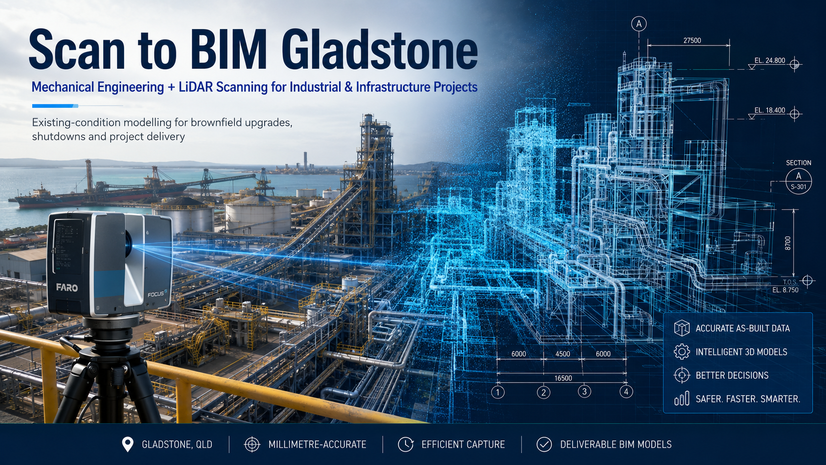
Industrial and infrastructure projects in Gladstone frequently involve one major challenge before design or construction even begins: how accurately do the existing drawings represent what is actually installed on site?
Processing plants, port facilities, refineries, smelters, LNG facilities and other brownfield assets can change considerably throughout their operating life. Equipment is replaced, pipework is rerouted, structural steel is modified, access platforms are added and services are relocated. Yet these changes are not always reflected in the latest available drawings.
For construction project teams, this creates uncertainty at exactly the stage where accurate information is most important.
Scan to BIM Gladstone provides a practical solution by combining 3D laser scanning, LiDAR point clouds and existing-condition modelling to establish a measurable digital representation of the physical facility before detailed design, fabrication or construction proceeds.
Hamilton By Design already provides 3D scanning services for Gladstone, supporting complex industrial environments where accurate site information can contribute to better engineering and project delivery.
The Problem with Legacy Drawings
Existing drawings remain valuable engineering records, but they may represent what was originally designed rather than everything that exists today.
Consider an industrial facility that has operated for 20 or 30 years.
During that time, the site may have experienced:
- multiple shutdowns
- equipment replacement
- structural modifications
- conveyor upgrades
- new pipework
- additional services
- access modifications
- temporary works that became permanent
- maintenance modifications
- plant expansion.
Eventually, the gap between the drawings and the physical installation can become significant.
For a construction project team, that discrepancy can affect much more than drafting accuracy.
It can lead to:
- fabrication that does not fit
- pipework clashes
- incorrect structural interfaces
- additional site measurements
- construction RFIs
- unexpected modifications
- installation delays
- shutdown overruns
- rework
- increased project cost.
The purpose of Scan to BIM is therefore not simply to create a visually impressive 3D model.
It is to help answer a much more important project question:
What actually exists on site?
What Is Scan to BIM?
Scan to BIM is the process of capturing an existing physical environment using 3D laser scanning or LiDAR and then using the measured point-cloud data to create BIM, CAD or engineering models.
Hamilton By Design’s broader Scan to BIM Services Queensland capability applies this approach across industrial plants, infrastructure, buildings and regional Queensland assets.
A typical workflow may look like:
Existing Facility → 3D Laser Scanning → Point Cloud → BIM/CAD Model → Design Coordination → Construction
A terrestrial laser scanner captures millions of spatial measurements from visible surfaces around the facility.
The resulting point cloud can represent:
- structural steel
- columns and beams
- floors
- pipe racks
- mechanical equipment
- conveyors
- tanks
- pipework
- ducting
- platforms
- stairs
- handrails
- buildings
- services
- surrounding interfaces.
Instead of relying exclusively on selected manual measurements, the engineering and construction team gains access to a much broader measurable digital representation of the site.
Scan to BIM for Gladstone Industrial Projects
Gladstone presents a particularly strong application for engineering-led reality capture because of its concentration of heavy industrial, energy, processing and port infrastructure.
Hamilton By Design’s existing Gladstone material identifies applications across LNG plants, refineries, smelting, port facilities, conveyors, materials handling and other complex industrial environments.
These are exactly the environments where existing-condition information matters.
A proposed steel structure, for example, may need to fit between existing equipment and pipework.
A replacement conveyor may need to connect accurately to an existing transfer point.
A new pipeline may have to pass through crowded structural and mechanical infrastructure.
A fabricated module may need to arrive during a short shutdown window and fit correctly the first time.
Scan to BIM helps provide the spatial information needed to address these interfaces before the project reaches construction.
Hamilton By Design provides engineering and reality-capture services across multiple Australian regions, with Queensland and regional project coverage identified through its 3D scanning locations network.
Supporting Construction Project Teams
For a construction project team, Scan to BIM should not be viewed only as a modelling exercise.
The real objective is constructability.
Project managers, construction managers, engineers, supervisors, fabricators and contractors may need answers to practical questions such as:
- Will the proposed equipment fit?
- Where are the actual structural interfaces?
- What services pass through the installation area?
- Are existing drawings reliable?
- Is there sufficient access for installation?
- Can equipment be fabricated before the shutdown?
- Where are the tie-in points?
- Are mechanical and structural models coordinated?
- What existing assets could clash with the new work?
A useful existing-condition model provides a common digital reference from which these questions can be considered.
How Does the Scan to BIM Process Work?
1. Define the Project Objective
The process should begin by understanding why the site needs to be scanned.
A project might involve:
- replacing equipment
- modifying a conveyor
- installing pipework
- adding structural steel
- developing a new platform
- relocating machinery
- refurbishing an existing facility.
Understanding the design and construction objective helps determine the appropriate scanning coverage and modelling requirements.
2. Capture Existing Conditions
Terrestrial LiDAR scanning is used to measure visible surfaces throughout the project area.
Hamilton By Design’s 3D Laser Scanning capability is focused on creating engineering-grade site information that can support brownfield upgrades, as-built documentation, design development and verification.
Multiple scanner positions can be used where required to capture complex areas from different directions.
3. Register the Point Cloud
Individual scans are processed and registered together to form a coordinated point-cloud dataset.
The resulting digital environment can be reviewed, measured and referenced after the site visit.
This is an important advantage for construction teams because project questions may arise weeks or months after the original survey.
4. Develop the Existing-Condition Model
The point cloud can then be converted into the level of BIM or CAD geometry required by the project.
Not every visible object necessarily needs to be modelled.
For example, if a project involves replacing a conveyor transfer chute, the critical information might include:
- chute geometry
- conveyor centreline
- supporting steel
- surrounding platforms
- nearby pipework
- floor levels
- equipment interfaces
- maintenance clearances.
Modelling should therefore be driven by the engineering requirement rather than simply modelling everything captured by the scanner.
From Point Cloud to BIM, CAD and Engineering
Although the term Scan to BIM commonly suggests Revit, industrial projects frequently need more than a building information model.
Potential outputs may include:
- registered point clouds
- E57 data
- RCP/RCS datasets
- Revit existing-condition models
- SolidWorks models
- STEP or SAT geometry
- AutoCAD DWG files
- general arrangement drawings
- sections and elevations
- equipment layouts
- fabrication drawings.
Hamilton By Design’s Engineering Services integrate 3D LiDAR scanning with mechanical engineering, CAD modelling, drafting and engineering verification.
This allows the captured site information to become the starting point for the next engineering stage rather than the end of the project.
Scan → Model → Design → Construct
For industrial projects, a useful Scan to BIM workflow can be considered as six connected stages.
SCAN
Capture the existing physical environment.
MODEL
Develop project-relevant existing-condition geometry.
COORDINATE
Combine the existing environment with proposed design information.
DESIGN
Develop the mechanical, structural or fabrication solution around actual site conditions.
VERIFY
Compare the proposed design against the captured point cloud and investigate potential clashes or interfaces.
CONSTRUCT
Provide the construction and fabrication teams with better information for installation.
This progression is particularly valuable for brownfield projects because the BIM or CAD model is not necessarily the final objective.
The objective is a successful project outcome.
Tools Supporting Scan to BIM Gladstone
A Scan to BIM workflow can involve several complementary technologies.
FARO LiDAR Scanning
Terrestrial LiDAR scanning is particularly useful for complex industrial environments containing combinations of structures, equipment, pipework and services.
Hamilton By Design’s Queensland capability is also supported by its LiDAR Scanning Brisbane service, which applies engineering-led point-cloud capture to industrial, infrastructure and brownfield projects.
FARO SCENE
FARO SCENE can be used for scan registration, point-cloud processing, quality review and preparation of scan datasets.
Autodesk ReCap
ReCap assists with preparing and managing point-cloud information for integration into Autodesk design environments.
Autodesk Revit
Revit can be used where BIM deliverables are required for existing buildings, structures and coordinated project information.
SolidWorks
For mechanical and industrial projects, SolidWorks can be particularly valuable for modelling:
- machinery
- conveyors
- chutes
- equipment
- fabricated assemblies
- guarding
- platforms
- structural interfaces.
AutoCAD
AutoCAD can support layouts, sections, elevations, general arrangements and conventional DWG engineering documentation.
Navisworks
Navisworks can assist with multidisciplinary model coordination and review of potential clashes between existing and proposed works.
The appropriate combination of tools depends on the ultimate project requirement.
Mechanical Engineering Beyond Scan to BIM
One of the key advantages of an engineering-led Scan to BIM service is the ability to continue from existing-condition capture into design.
Hamilton By Design provides Mechanical Engineering Consulting for industrial machinery, plant modifications, materials handling and related engineering requirements.
For example, a Gladstone project may begin with scanning an existing conveyor transfer station.
The point cloud can then establish the geometry of the existing:
- conveyor
- transfer chute
- structural steel
- platforms
- access
- pipework
- surrounding machinery.
A replacement chute or conveyor arrangement can then be designed within that captured environment.
This creates a continuous workflow:
Scan → Existing Condition → Mechanical Design → Coordination → Documentation → Fabrication → Installation
That is considerably more useful than treating the point cloud as an isolated survey deliverable.
Hamilton By Design’s national Scan to BIM Australia capability follows the same principle of developing digital existing-condition information that can support design, construction and asset-management decisions.
Reducing Risk Before Fabrication and Construction
For construction teams, the greatest value of Scan to BIM is the opportunity to identify uncertainty earlier.
Problems found digitally are generally preferable to problems discovered while a crane is waiting, a shutdown is underway or fabricated steel is already on site.
Accurate existing-condition information can assist teams to:
- reduce repeat site measurement
- identify spatial conflicts earlier
- improve design confidence
- coordinate disciplines
- plan installation
- review access
- check tie-in locations
- improve fabrication information
- maintain a digital project reference.
It does not eliminate the need for engineering judgement or construction verification.
Instead, it provides better information upon which those decisions can be based.
Scan to BIM Gladstone with Hamilton By Design
Hamilton By Design brings together 3D laser scanning, point-cloud processing, BIM and CAD modelling, mechanical engineering and drafting for industrial and infrastructure projects.
For Gladstone construction teams, this creates an opportunity to move from fragmented site measurement and legacy drawings toward a coordinated digital workflow based on the installed asset.
The objective is straightforward:
Capture what exists.
Model what matters.
Design around reality.
Verify before construction.
For brownfield industrial projects, that can provide a stronger foundation for design, fabrication and installation than relying solely on drawings that may no longer match the plant.
Frequently Asked Questions
What is Scan to BIM?
Scan to BIM is the process of capturing an existing facility using 3D laser scanning or LiDAR and using the resulting point cloud to develop BIM, CAD or engineering models representing the existing condition.
Why is Scan to BIM useful for Gladstone industrial projects?
Gladstone contains complex brownfield industrial environments where equipment, structures, pipework and services may have changed over time. Scan to BIM can establish a current digital reference before modifications are designed or constructed.
Can Scan to BIM help when existing drawings are outdated?
Yes. The point cloud records visible physical conditions independently of the historical drawings, allowing engineers to compare available documentation with the installed environment.
Is Scan to BIM only for buildings?
No. It can also be used for industrial plants, conveyors, structural steel, pipe racks, machinery, tanks, processing facilities, port infrastructure and other engineering assets.
Do we always need a Revit model?
No. Deliverables should suit the project. Depending on requirements, outputs may include Revit, SolidWorks, AutoCAD, STEP, SAT, registered point clouds or engineering drawings.
Can construction teams measure from the point cloud?
Registered point-cloud datasets can provide a measurable digital reference, subject to the accuracy, registration and coordinate requirements established for the project.
Can the data support mechanical engineering?
Yes. Captured geometry can provide the existing-condition reference for equipment layouts, conveyor modifications, chutes, machinery, platforms, guarding, supporting structures and other mechanical design work.
Can Scan to BIM help with shutdown projects?
It can be particularly useful before shutdowns because existing conditions can be captured in advance, allowing more design and coordination work to occur before the installation window begins.
Can new design models be checked against the scan?
Yes. Proposed CAD or BIM geometry can be coordinated with the existing point cloud to investigate clearances, interfaces and potential clashes before fabrication or construction.
What areas can be supported around Gladstone?
Projects can be supported in Gladstone and surrounding Central Queensland industrial areas where 3D reality capture, existing-condition modelling and engineering information are required.
What information should we provide before a Scan to BIM project?
Useful information includes the project objective, site location, available drawings, areas requiring capture, intended deliverables, required coordinate system and how the resulting information will be used by the engineering or construction team.
Why use an engineering-led Scan to BIM workflow?
An engineering-led workflow considers what the captured information needs to accomplish. Instead of modelling geometry solely for visual representation, the scanning and modelling scope can be developed around design interfaces, construction requirements, fabrication and project risk.
Planning a brownfield, industrial or infrastructure project in Gladstone? Hamilton By Design can help establish accurate existing-condition information before detailed design, fabrication and construction begin.

Contact Us – Talk To Us
Our clients:
























