


3D Engineering Scanning Solomon Islands – Point Clouds for BIM & FEA
Reliable Point Clouds for BIM, CAD & FEA Anywhere in the World
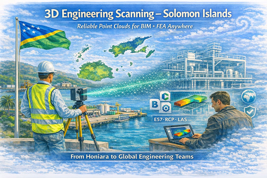
Hamilton By Design provides engineering-grade 3D laser scanning services across the Solomon Islands, delivering accurate point clouds that allow designers, engineers, and asset owners to work from real measured data—without the need to be on site.
From Honiara ports to remote island infrastructure, our scans create the digital backbone for modelling, analysis, and fabrication.
Engineering Data You Can Trust
Many assets in the Solomon Islands have:
- limited or missing drawings
- decades of informal modifications
- corrosion from marine environments
- cyclone and seismic exposure
- mixed construction standards
Traditional measurement methods struggle in these conditions. Our 3D scanning service captures the true as-built condition so your team can:
- create BIM and CAD models
- perform structural and mechanical FEA
- plan brownfields tie-ins
- fabricate off-site with confidence
- complete clash detection before shutdowns
We deliver open, neutral formats so engineers anywhere in Australia, New Zealand, Asia or Europe can immediately begin work.
What We Deliver
Core Outputs
- Registered point clouds – E57 / RCP / LAS
- Colourised engineering datasets
- Site grid or project datum
- Mesh models for Navisworks
- 2D plans, elevations and sections
Optional Engineering Deliverables
- Scan-to-BIM models (LOD 200–350)
- Steel and pipe geometry extraction
- Tie-in coordinates for upgrades
- Deformation and roundness reports
- Clash and constructability reviews
All data is processed in Australia under formal QA so it can be relied upon for design approvals and FEA studies.
Designed for Solomon Islands Conditions
Scanning in the Solomons requires Pacific experience:
- high heat and humidity
- sudden tropical rain
- reflective stainless and bright sunlight
- inter-island logistics
- remote power availability
- cyclone season planning
Our workflows are built for efficient field capture with processing completed by our Australian engineering team.
Industries We Support
- Honiara ports and marine infrastructure
- Power generation and substations
- Water and wastewater assets
- Timber and processing facilities
- Government and commercial buildings
- Bridges and civil structures
- Post-cyclone condition surveys
A Digital Backbone for Global Teams
A quality scan is the backbone of every downstream task.
If the backbone is wrong, every model and FEA result is compromised.
Our service provides a foundation that:
- removes re-measure risk
- supports remote engineering
- shortens shutdowns
- improves safety and constructability
Designers anywhere in the world can open our data and begin work immediately.



Talk to Us About Your Solomon Islands Project
Whether you need a single building, a wharf, or a full plant captured, we can mobilise quickly and deliver data your team can trust.
Hamilton By Design
Engineering certainty through 3D scanning.
















