

Engineering-Grade 3D Scanning for Defence, Government, Research and Critical Infrastructure

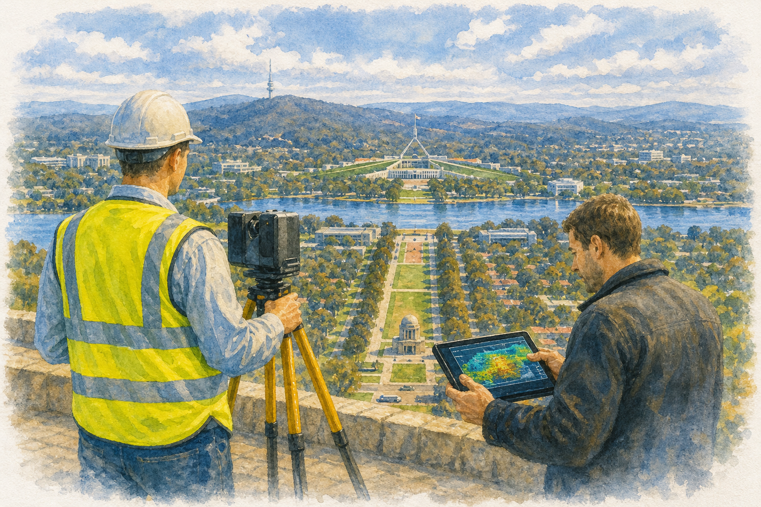
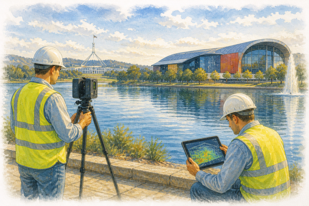
Hamilton By Design provides professional 3D LiDAR engineering scanning services in Canberra and the ACT region, supporting projects where accurate existing-condition data is essential before design, fabrication, construction or modification work begins.
Our scanning services are suited to complex buildings, industrial assets, plant rooms, services corridors, defence facilities, research infrastructure, hospitals, public buildings and brownfield upgrade projects where legacy drawings may be incomplete, outdated or unreliable.
Why 3D LiDAR Scanning Matters
In many upgrade projects, the greatest risk is not the new design — it is the uncertainty of the existing site conditions.
A 3D LiDAR scan captures accurate spatial data of the existing environment, helping engineers, architects, project managers and contractors make informed decisions before work begins.
This reduces the risk of:
- Site rework
- Fabrication errors
- Service clashes
- Installation delays
- Shutdown overruns
- Incorrect assumptions from old drawings
Canberra Industries We Support
Hamilton By Design provides 3D scanning support for a wide range of Canberra-based sectors, including:
Defence Infrastructure
Canberra has a strong defence and secure infrastructure sector. These projects often require accurate documentation, controlled design processes and careful integration of new equipment into existing facilities.
Typical scanning applications include:
- Mechanical plant rooms
- Services corridors
- Pumping systems
- HVAC and ductwork layouts
- Equipment replacement projects
- Retrofit design support
- As-built verification
Government and Public Infrastructure
Government buildings and public assets often involve staged upgrades, compliance requirements and complex existing services.
3D LiDAR scanning is useful for:
- Public building refurbishments
- Schools and education facilities
- Transport infrastructure
- Civic buildings
- Utility upgrades
- Building services coordination
- Condition documentation
Research and Scientific Facilities
Research facilities often contain dense services, specialist equipment and limited access environments. Accurate site capture helps reduce uncertainty before design or modification work begins.
Typical uses include:
- Laboratory upgrades
- Mechanical services documentation
- Pipework and ductwork mapping
- Equipment integration
- Plant room modelling
- Spatial coordination
Health Infrastructure
Hospitals and health facilities require careful planning because shutdowns, access limitations and service interruptions can be highly sensitive.
LiDAR scanning can assist with:
- Plant room upgrades
- Medical gas service coordination
- HVAC modifications
- Hydraulic services
- Maintenance planning
- As-built documentation
Space, Communications and Technical Facilities
Canberra also supports technical infrastructure associated with communications, research, monitoring and specialist engineering systems.
Scanning can support:
- Structural documentation
- Equipment layouts
- Access planning
- Retrofit works
- Maintenance planning
- Digital asset records
Our 3D LiDAR Scanning Workflow
1. Site Capture
We attend site and capture the required areas using 3D LiDAR scanning. This creates a detailed point cloud of the existing environment.
2. Point Cloud Registration
The scan data is processed and aligned into a usable registered point cloud.
3. Engineering Review
The captured data is reviewed from an engineering perspective, focusing on the features that matter for design, fabrication, access and installation.
4. CAD or Model Development
Where required, the scan data can be converted into usable engineering outputs, including:
- 3D CAD models
- 2D drawings
- Sections and elevations
- Equipment layouts
- Pipework models
- Structural reference geometry
- Scan-to-CAD deliverables
5. Project Delivery
Final deliverables can be issued to suit the project requirements, including point cloud data, CAD models, drawings and supporting documentation.
Typical Deliverables
Depending on the project scope, Hamilton By Design can provide:
- Registered point cloud data
- 3D scan files
- Scan-to-CAD models
- Existing-condition drawings
- Mechanical layout drawings
- Pipework and services models
- Plant room models
- Sections and elevations
- Design coordination geometry
- As-built reference information
Why Use Engineering-Grade LiDAR Scanning?
3D scanning is not just about capturing data. The value comes from knowing what to capture, how to interpret it, and how to convert it into practical engineering information.
Hamilton By Design combines LiDAR scanning with mechanical engineering, drafting and design experience. This means the scan data is captured with the end use in mind — whether that is design, fabrication, installation, verification or asset documentation.
Common Project Types
Our Canberra 3D LiDAR scanning services are suitable for:
- Defence facility upgrades
- Government building refurbishments
- Mechanical services upgrades
- Plant room documentation
- Pumping system upgrades
- Pipework modification projects
- HVAC and ductwork coordination
- Laboratory and research facility upgrades
- Hospital infrastructure projects
- Brownfield retrofit works
- Existing-condition surveys
- Scan-to-CAD modelling
The Key Benefit: Certainty Before Design
For many Canberra projects, especially in defence, government and critical infrastructure, the cost of incorrect information can be significant.
3D LiDAR scanning helps project teams move from assumption to evidence.
Instead of relying only on outdated drawings or site measurements, the project team can work from accurate existing-condition data.
Service Area
Hamilton By Design provides 3D LiDAR engineering scanning services across:
| Canberra | ACT region | Queanbeyan | Fyshwick |
| Hume | Woden | Gungahlin | Barton |
| Belconnen | Tuggeranong | Russell | Airport Precinct |
Hamilton By Design
Hamilton By Design supports industrial, government and infrastructure projects with engineering-grade 3D LiDAR scanning, mechanical design, drafting, scan-to-CAD modelling and brownfield project support.


For Canberra projects, our focus is simple:
capture the existing site accurately, reduce project risk, and provide engineering information that supports confident design and delivery.


Our clients


