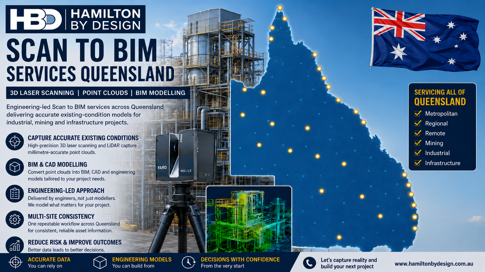
Scan to BIM Services Queensland | 3D Laser Scanning & BIM Modelling
Across Queensland, asset owners, engineering teams and project managers are increasingly working with facilities where the available drawings no longer accurately represent what exists on site.
Industrial plants are modified. Structural steel is added or removed. Pipework routes change. Equipment is replaced. Buildings are refurbished. Mining infrastructure develops over decades.
For organisations responsible for multiple facilities, the problem becomes even greater: how do you establish a consistent and reliable digital record of existing conditions across assets located throughout Queensland?
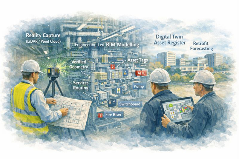
Hamilton By Design provides Scan to BIM services across Queensland, combining engineering-grade 3D laser scanning, LiDAR point-cloud processing and engineering-led 3D modelling to convert existing physical assets into accurate digital information that can support future engineering, construction and asset-management decisions.
Our broader Scan to BIM Australia capability supports projects where existing buildings, industrial plants and infrastructure need to be accurately captured before design work begins.
What Is Scan to BIM?
Scan to BIM is the process of capturing an existing physical environment using 3D laser scanning or LiDAR technology and using that measured information to develop an accurate digital model.
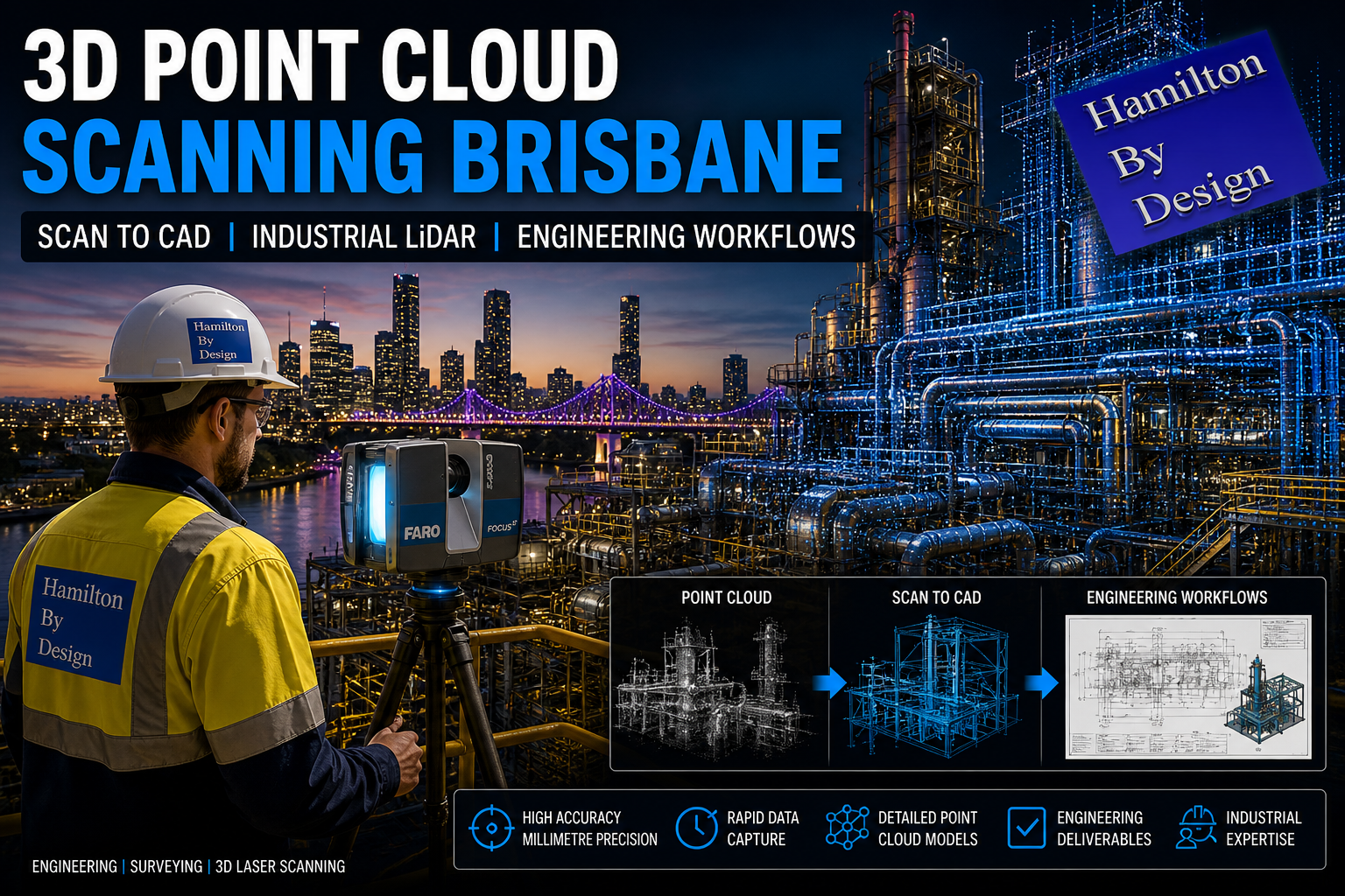
Rather than relying entirely on historical drawings, tape measurements or assumptions about existing construction, a 3D laser scanner captures millions of spatial measurements from the actual asset.
These measurements form a 3D point cloud representing the existing geometry.
The point cloud can then be processed and used as the dimensional reference for developing BIM, CAD and engineering models.
Hamilton By Design approaches this process from an engineering perspective. The objective is not simply to produce an attractive three-dimensional model. The objective is to capture and model the information needed to support the next engineering, construction or asset-management decision.
Our broader 3D laser scanning services support engineering projects throughout Australia, including Queensland and regional industrial centres.
The Queensland Scan to BIM Problem
Queensland presents a particular challenge for organisations managing geographically distributed assets.
A business may have its engineering or project-management team based in Brisbane while operating facilities hundreds or thousands of kilometres away.
Assets may be located across:
Brisbane and South East Queensland, Gladstone, Rockhampton, Emerald, Mackay, the Bowen Basin, Townsville, Mount Isa and other regional or remote areas.
The documentation available for these facilities can also vary significantly.
One site may have relatively current CAD information, while another may rely on drawings produced decades earlier. Modifications undertaken during shutdowns or maintenance campaigns may never have been incorporated into the original drawings.
This creates uncertainty.
When a new conveyor, pipe route, platform, piece of machinery, building service or structural modification needs to be designed, the engineering team first needs to establish:
What is actually there?
Scan to BIM provides a method of answering that question consistently.
One Reality-Capture Workflow Across Queensland
For multi-site asset owners, one of the major advantages of Scan to BIM is the ability to establish a repeatable process.
Instead of every project beginning with a different measurement method, Hamilton By Design can use a common workflow:
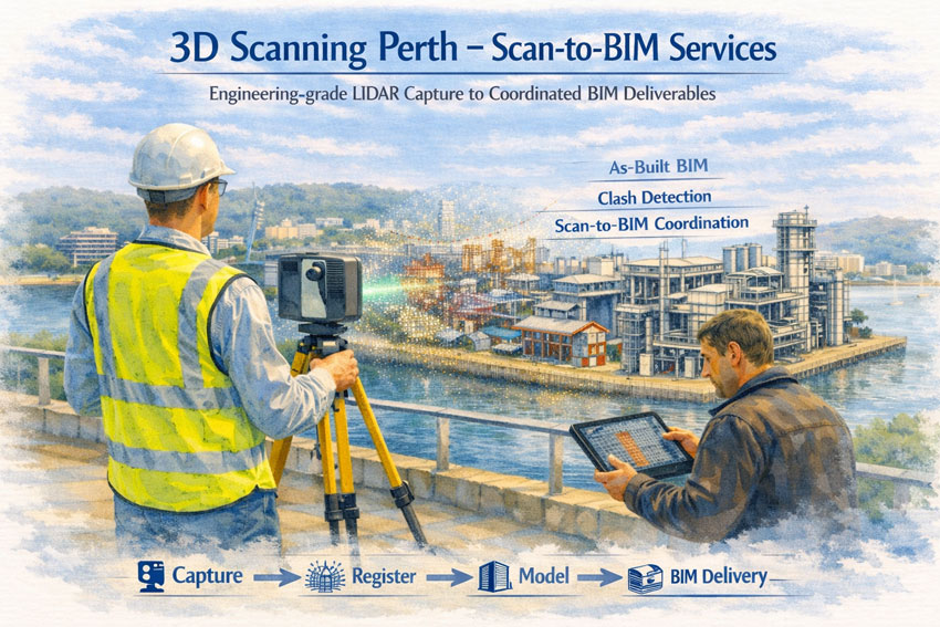
Site capture → scan registration → point-cloud processing → engineering interpretation → BIM/CAD modelling → verification → project deliverables.
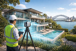
In Brisbane and South East Queensland, our LiDAR scanning Brisbane services support industrial facilities, infrastructure, manufacturing plants and other engineering environments requiring accurate point-cloud data.
The same fundamental process can then be applied to regional facilities, providing organisations with greater consistency between projects and sites.
Step 1 – Define What the Model Needs to Achieve
A successful Scan to BIM project should begin before the scanner is switched on.
The first question should be:
What will the captured information ultimately be used for?
The answer affects both the scan strategy and the modelling requirements.
Potential applications include:
- brownfield plant modifications
- equipment replacement
- structural upgrades
- refurbishment projects
- construction planning
- shutdown engineering
- clash detection
- fabrication
- pipework modifications
- building refurbishment
- asset documentation
- digital engineering
- development of digital twins.
A model intended to document the general arrangement of a facility does not necessarily require the same information as one being used to design fabrication interfaces.
This is why engineering involvement at the beginning of the scanning process can be important.
Hamilton By Design’s wider engineering services integrate LiDAR capture with modelling, engineering and fabrication-oriented outcomes rather than treating reality capture as an isolated survey activity.
Step 2 – Capture Existing Conditions with 3D LiDAR
Once the required outcome is understood, the existing facility can be captured.
Terrestrial 3D laser scanning can rapidly record complex geometry that would otherwise require extensive manual measurement.
Depending on the project, this may include:
- structural columns and beams
- buildings
- floor levels
- equipment
- conveyors
- transfer stations
- chutes
- tanks
- pipework
- access platforms
- stairs
- handrails
- machinery
- surrounding infrastructure.
This is particularly valuable in congested industrial environments where conventional measurement can become difficult.
The scanner records the physical geometry visible from each scan position. Multiple scan positions are subsequently combined to create a coordinated representation of the facility.
For projects specifically located in the Queensland capital, our existing Scan to BIM Brisbane service provides a dedicated Brisbane-focused pathway from LiDAR capture through point-cloud modelling and engineering-led documentation.
Step 3 – Register and Process the Point Cloud
Individual scanner positions need to be aligned or registered into a common coordinate system.
The result is a measurable three-dimensional point-cloud dataset.
Depending on project requirements, processing may include:
- scan registration
- removal of unnecessary data
- coordinate alignment
- establishing project datums
- checking scan coverage
- segmentation of areas
- preparation for CAD or BIM modelling.
Point clouds may subsequently be supplied in formats such as E57, RCP or RCS depending on the client’s required workflow.
This registered dataset becomes the measured reference against which the digital model can be developed.
Step 4 – Convert Required Geometry into BIM or CAD
The next stage is where Scan to BIM becomes more than reality capture.
Not everything visible in a point cloud necessarily needs to be modelled.
The question should instead be:
What information does the project team actually need?
For a commercial building, Revit may provide the appropriate BIM environment.
For an industrial plant, however, the solution may involve a combination of BIM and mechanical CAD.
Hamilton By Design’s SolidWorks Brisbane capability, for example, allows LiDAR information to feed into detailed mechanical modelling, reverse engineering and fabrication-oriented workflows.
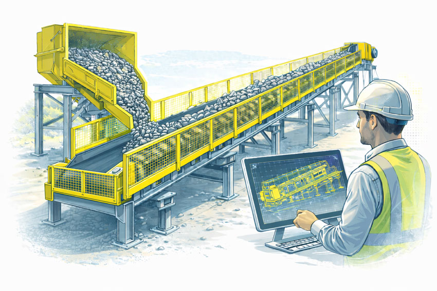
This can be particularly important for Queensland mining, mineral-processing and industrial facilities where the existing environment contains significant mechanical equipment rather than conventional building elements alone.
Revit Is Not Always the Whole Answer
Scan to BIM is frequently associated with Autodesk Revit, but industrial facilities can require several modelling environments.
A useful Queensland industrial workflow might include:
Revit for buildings and BIM-oriented structural information.
SolidWorks for mechanical equipment, machinery and fabricated assemblies.
AutoCAD for 2D engineering documentation.
Navisworks for coordination and model review.
FARO SCENE and Autodesk ReCap for point-cloud registration, management and preparation.
The final deliverable should therefore be selected according to the project requirement rather than forcing every captured asset into a single software environment.
Supporting Brownfield and Shutdown Projects
One of the strongest applications for Scan to BIM is brownfield engineering.
Unlike greenfield projects, existing facilities contain constraints that cannot simply be moved because they conflict with a new design.
Existing steelwork, conveyors, services, pipework and operating equipment all need to be considered.
Accurate reality capture therefore gives designers an opportunity to identify potential conflicts before fabrication or construction begins.
This becomes particularly important where access to the plant is restricted or site attendance must occur during limited shutdown windows.
Hamilton By Design also provides 3D scanning for mining shutdown projects, where captured site information can support mechanical upgrades, structural verification, Scan-to-CAD modelling and plant-layout assessment.
Scan Once – Use the Data for Multiple Engineering Tasks
A well-planned scan can support more than one immediate project.
The point cloud may provide a reference for:
- existing-condition verification
- concept development
- mechanical design
- structural drafting
- fabrication planning
- clash checking
- accessibility reviews
- equipment replacement
- future maintenance planning.
This is particularly valuable for remote Queensland assets.
Returning to a regional or remote site simply because one critical dimension was missed can be expensive and disruptive.
The scan strategy should therefore consider not only what is immediately obvious but also what information the engineering team may reasonably need later in the project.
Hamilton By Design applies this approach to SMP project delivery using 3D laser scanning, where reality capture establishes a reliable baseline of structural, mechanical and piping conditions for subsequent engineering activities.
Scan to BIM Deliverables
Deliverables can be configured around the needs of the client’s software environment and project team.
These may include:
- registered point clouds
- E57 files
- RCP/RCS datasets
- Revit models
- IFC models
- SolidWorks parts and assemblies
- STEP or SAT geometry
- DWG and DXF files
- general arrangement drawings
- sections and elevations
- PDF engineering drawings
- measurable digital models.
The objective is to deliver information that the engineering, construction or asset-management team can actually use.
Scan to BIM Services Across Queensland
Hamilton By Design supports Queensland projects where reliable existing-condition information is required before engineering work proceeds.
Projects may range from commercial and infrastructure facilities in Brisbane through to industrial, mining and processing assets in regional Queensland.
The common objective remains the same:
Capture the existing condition accurately, convert the required information into usable digital geometry, and provide the project team with a more reliable basis for engineering decisions.
For multi-site organisations, that also creates an opportunity to establish a consistent reality-capture and modelling methodology across facilities rather than beginning every project with a different approach.
Frequently Asked Questions – Scan to BIM Queensland
What is Scan to BIM?
Scan to BIM combines 3D laser scanning with digital modelling. Existing buildings, structures, plant and equipment are captured as a point cloud, which is then used as the dimensional reference for developing BIM or CAD models.
Does Scan to BIM always mean Revit?
No. Revit is commonly used for BIM, particularly for buildings and building services, but industrial projects may also require SolidWorks, AutoCAD, IFC, STEP or other CAD formats. The appropriate deliverable depends on how the information will ultimately be used.
Can Scan to BIM be used for mining and industrial facilities?
Yes. Reality capture can be particularly valuable for brownfield mining and industrial environments containing structural steel, conveyors, machinery, pipework, platforms and other complex existing infrastructure.
Can you provide the point cloud as well as the model?
Yes. Depending on the agreed project scope, deliverables can include registered point-cloud datasets as well as CAD, BIM and engineering documentation.
Why use laser scanning instead of existing drawings?
Existing drawings can be incomplete, outdated or may not include modifications made during the operating life of an asset. Laser scanning captures the physical conditions present at the time of the survey, providing the design team with a current dimensional reference.
Can Scan to BIM help reduce site revisits?
Yes. A properly planned scan captures extensive dimensional information during the initial site visit. This can allow engineers and designers to take additional measurements digitally from the point cloud later, although critical project dimensions and coverage requirements should always be identified before scanning.
Can the same process be used across several Queensland facilities?
Yes. This is one of the strongest applications for multi-site asset owners. A consistent scanning, registration and modelling methodology can be applied across metropolitan, regional and remote facilities, helping standardise the digital information available to engineering teams.
What Queensland projects are suitable for Scan to BIM?
Suitable projects can include industrial facilities, mining infrastructure, mineral-processing plants, manufacturing facilities, commercial buildings, utilities, transport infrastructure, brownfield upgrades and major refurbishment projects.
What should we determine before requesting a Scan to BIM quotation?
The most useful starting point is to establish what the final information will be used for. Providing the site location, approximate area, required model format, intended engineering application and expected level of modelling detail helps determine the appropriate scanning and modelling scope.
Talk to Hamilton By Design
If outdated drawings, inaccessible dimensions or inconsistent site information are creating uncertainty for an engineering project, Scan to BIM can provide a reliable starting point.
Hamilton By Design provides engineering-led Scan to BIM services across Queensland, connecting 3D LiDAR reality capture with point-cloud processing, CAD modelling, BIM and engineering documentation for industrial, mining, infrastructure and brownfield projects.
Start with the existing condition. Build the engineering from measured information.

Contact Us – Talk To Us
Our clients: