3D Scanning in Point Piper: Plan Property Changes Around What Is Actually There

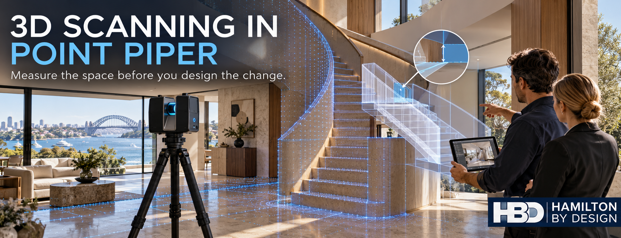
3D LiDAR scanner capturing a Point Piper home’s staircase while a proposed stair design is checked against the existing space.

“Your Honour, the stairs did not fit.”

Blue 3D LiDAR scanner icon on a tripod with scanning waves

It sounds like a line from a dispute you would rather avoid. But a staircase, lift, custom joinery package or new opening can be designed around dimensions that looked reasonable on a drawing and still fail to fit the finished space.

If you are planning changes to a property in Point Piper, the first step is to understand its existing geometry. Hamilton By Design uses stationary 3D LiDAR scanning to capture visible walls, floors, ceilings, stairs and building services. The registered point cloud can then support measured drawings and 3D models for design and coordination. LiDAR & 3D Modelling

A property tour and a design record serve different purposes

A 3D tour can help prospective buyers explore a property online. It is a useful presentation tool, but an attractive walkthrough should not automatically become the dimensional basis for a renovation.

For design work, the questions are more specific: How much clear space is available? Are the walls square? Where does the ceiling change height? Will the proposed stair, lift or joinery fit alongside the existing structure and services?

A stationary terrestrial scanner can capture detailed geometry from planned scan positions. Mobile SLAM scanning can document spaces quickly and may be suitable for broader layout work. The accuracy and detail available from either method depend on the equipment, site conditions, capture method and processing. A published comparison found both methods useful for building documentation, while the stationary scanner provided better detail for intricate features in the study. isprs-archives.copernicus.org

Where better measurements can make a difference

For a Point Piper property, an as built scan may help an architect, builder or specialist supplier plan:

  • A replacement staircase or altered stair opening
  • A lift or access upgrade
  • Kitchen, bathroom and custom joinery work
  • Changes to ceiling heights or service routes
  • Plant room and building services upgrades
  • A refurbishment that must connect neatly to existing construction

The value is in capturing the areas that matter to the proposed change, then checking critical dimensions before anything is fabricated. A scan provides a detailed record of visible surfaces; concealed construction still needs to be investigated, and critical interfaces should be verified for their intended use.

Consider the cost of getting the starting dimensions wrong

A lower cost scan may be entirely suitable when the goal is a visual record or an approximate layout. When a component must fit an existing opening, the useful question is whether the capture and checking process meets the project’s required tolerance.

Finding a clash during design gives the team options. Finding it when a finished staircase arrives on site can mean redesign, modification and delay. The scanner alone does not guarantee a successful fit: scan planning, registration, interpretation and final dimensional checks all matter. Research on terrestrial laser scanning likewise identifies several sources of measurement error that must be considered when using scan data for dimensional work. NIST

From Point Piper property scan to practical design information

Hamilton By Design can capture the existing space and provide a registered point cloud for review. Where required, that data can be developed into CAD drawings or a 3D model for the design team, fabricator or installer. The scope should identify the proposed alteration and the dimensions that need particular attention before scanning begins. Hamilton By Design Co.

If the project requires a legal property boundary survey, engage a registered land surveyor. A building scan does not determine title boundaries; in NSW, boundary surveys are the work of registered land surveyors. Automatic Mutual Recognition (AMR)

Planning a renovation or property upgrade in Point Piper? Contact Hamilton By Design with your plans and the proposed changes. We can discuss what needs to be captured so your design team starts with a useful record of the existing property.

3D Scanning in Point Piper: Plan Property Changes Around What Is Actually There

“Your Honour, the stairs did not fit.”

It sounds like a line from a dispute you would rather avoid. But a staircase, lift, custom joinery package or new opening can be designed around dimensions that looked reasonable on a drawing and still fail to fit the finished space.

If you are planning changes to a property in Point Piper, the first step is to understand its existing geometry. Hamilton By Design uses stationary 3D LiDAR scanning to capture visible walls, floors, ceilings, stairs and building services. The registered point cloud can then support measured drawings and 3D models for design and coordination. LiDAR & 3D Modelling

A property tour and a design record serve different purposes

A 3D tour can help prospective buyers explore a property online. It is a useful presentation tool, but an attractive walkthrough should not automatically become the dimensional basis for a renovation.

For design work, the questions are more specific: How much clear space is available? Are the walls square? Where does the ceiling change height? Will the proposed stair, lift or joinery fit alongside the existing structure and services?

A stationary terrestrial scanner can capture detailed geometry from planned scan positions. Mobile SLAM scanning can document spaces quickly and may be suitable for broader layout work. The accuracy and detail available from either method depend on the equipment, site conditions, capture method and processing. A published comparison found both methods useful for building documentation, while the stationary scanner provided better detail for intricate features in the study. isprs-archives.copernicus.org

Where better measurements can make a difference

For a Point Piper property, an as built scan may help an architect, builder or specialist supplier plan:

  • A replacement staircase or altered stair opening
  • A lift or access upgrade
  • Kitchen, bathroom and custom joinery work
  • Changes to ceiling heights or service routes
  • Plant room and building services upgrades
  • A refurbishment that must connect neatly to existing construction

The value is in capturing the areas that matter to the proposed change, then checking critical dimensions before anything is fabricated. A scan provides a detailed record of visible surfaces; concealed construction still needs to be investigated, and critical interfaces should be verified for their intended use.

Consider the cost of getting the starting dimensions wrong

A lower cost scan may be entirely suitable when the goal is a visual record or an approximate layout. When a component must fit an existing opening, the useful question is whether the capture and checking process meets the project’s required tolerance.

Finding a clash during design gives the team options. Finding it when a finished staircase arrives on site can mean redesign, modification and delay. The scanner alone does not guarantee a successful fit: scan planning, registration, interpretation and final dimensional checks all matter. Research on terrestrial laser scanning likewise identifies several sources of measurement error that must be considered when using scan data for dimensional work. NIST

From Point Piper property scan to practical design information

Hamilton By Design can capture the existing space and provide a registered point cloud for review. Where required, that data can be developed into CAD drawings or a 3D model for the design team, fabricator or installer. The scope should identify the proposed alteration and the dimensions that need particular attention before scanning begins. Hamilton By Design Co.

If the project requires a legal property boundary survey, engage a registered land surveyor. A building scan does not determine title boundaries; in NSW, boundary surveys are the work of registered land surveyors. Automatic Mutual Recognition (AMR)

Planning a renovation or property upgrade in Point Piper? Contact Hamilton By Design with your plans and the proposed changes. We can discuss what needs to be captured so your design team starts with a useful record of the existing property.


Hamilton By Design logo displayed on a blue tilted rectangle with a grey gradient background

Contact Us – Talk To Us

Name
Would you like us to arrange a phone consultation for you?
Address

Our clients:


Mechanical Engineering and 3D Scanning for Sewage Treatment Plants on the NSW Central Coast

Practical support for treatment plant upgrades in Bateau Bay, Charmhaven, Gwandalan, Kincumber, Mannering Park, Toukley and Woy Woy

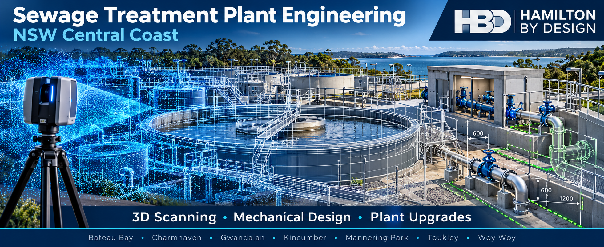
Wastewater treatment plant icon showing a clarifier, treatment tanks and process building in a blue engineering line-art style.

Upgrading an operating sewage treatment plant starts with understanding what is actually on site. Pumps, pipework, valves, tanks, platforms and access routes may have changed since the original drawings were produced. A replacement item can look straightforward on a drawing but prove difficult to install once existing equipment and maintenance clearances are taken into account.

Hamilton By Design brings together 3D laser scanning, scan-to-CAD modelling, mechanical engineering and drafting to support wastewater infrastructure upgrades across the NSW Central Coast. Based in Wyong, we can capture existing plant geometry and use it to develop practical designs for equipment replacement, pipework changes and other mechanical modifications.

Our work can support asset owners, water utilities, principal contractors, equipment suppliers and fabricators from the first site assessment through to installation documentation.

Start with an accurate picture of the existing plant

Sewage treatment plants are often upgraded in stages while they continue to operate. Over time, equipment is replaced, pipe routes change and new services are fitted around older assets. Existing drawings remain useful, but critical interfaces should be checked against current site conditions before fabrication.

A 3D laser scan records visible plant geometry as a point cloud. Depending on the project scope, we can capture:

  • Pump rooms, equipment bays and treatment plant structures
  • Existing pipework, valves, flanges and supports
  • Tanks, walkways, platforms and access areas
  • Equipment footprints and available installation space
  • Interfaces between new equipment and existing assets

The point cloud can then be used to develop a focused 3D model or drawings for the proposed work. Where dimensions are critical to manufacture or installation, those interfaces can be identified for closer measurement and verification.

Mechanical engineering for plant upgrades

Good as-built information is the starting point. The next step is a design that can be installed, operated and maintained within the available space.

Hamilton By Design can assist with mechanical layouts and design documentation for projects involving:

  • Pump replacement and associated pipework changes
  • Valve and equipment access improvements
  • Pipe supports, equipment mounts and skids
  • Replacement or modification of mechanical components
  • Maintenance platforms and guarding
  • Retrofit layouts for existing treatment plant areas
  • General arrangement and fabrication drawings

For a brownfield upgrade, we can model a proposed item within the scanned surroundings to review fit, access and potential clashes before drawings are issued. The required engineering checks and specialist inputs can then be defined around the actual project scope.

From site scan to upgrade drawings

A typical project can be staged so the information is useful at each decision point:

  1. Define the upgrade area. Identify the equipment, interfaces, deliverables and dimensions that matter to the project.
  2. Capture the existing conditions. Scan the accessible plant areas and gather any additional measurements needed at critical connections.
  3. Register and review the point cloud. Check coverage and identify areas hidden from the scanner that need further inspection.
  4. Develop the design. Model the relevant existing assets and proposed mechanical changes.
  5. Prepare documentation. Provide agreed outputs such as CAD models, general arrangements, sections or fabrication drawings.
  6. Support installation planning. Review access, sequencing and site questions as the upgrade moves toward construction.

Deliverables can include registered point clouds in formats such as E57 or RCP, 3D CAD models, AutoCAD drawings and PDF drawing packs, according to the client’s requirements. Hamilton By Design also describes these scanning and engineering deliverables across its existing water infrastructure and industrial scanning services. Hamilton By Design Co.

Supporting treatment plants across the Central Coast

The seven locations below are established sewage treatment plant locations on the Central Coast. Each upgrade still needs its own site assessment, operating constraints and agreed scope. Central Coast Council

Bateau Bay

For work at Bateau Bay, a targeted scan can document the existing mechanical area before equipment or pipework is changed. Modelling the proposed arrangement against site conditions can help the project team check interfaces and access early.

Charmhaven

Major works at Charmhaven make coordination of existing and proposed infrastructure particularly important. Hamilton By Design can support defined mechanical work packages with site capture, 3D modelling and drawings for interfaces within the agreed area. Central Coast Council has published information about its Charmhaven sewage treatment plant upgrade. Central Coast Council

Gwandalan

At Gwandalan, scanning can provide a current record of an upgrade area where existing equipment and services need to be understood before design. That record can support pump, pipework or equipment layout changes and discussions with fabricators.

Kincumber

Mechanical modifications at Kincumber may involve fitting new components into established plant spaces. A point cloud and focused CAD model can help identify the available envelope and the connections that need direct verification.

Mannering Park

For Mannering Park projects, measured site information can support the design of replacement equipment, pipe supports and access improvements. Capturing the surrounding plant helps make installation constraints visible before fabrication.

Toukley

Toukley upgrade work can benefit from documenting existing pipe routes, equipment positions and maintenance access. Scan-to-CAD models give designers and contractors a common reference when planning a modification.

Woy Woy

At Woy Woy, scanning and mechanical drafting can help teams plan replacement or retrofit work around existing assets. Deliverables can be limited to a particular pump room or expanded to a larger plant area, depending on the project.

Why combine scanning and mechanical design?

A point cloud is valuable as a site record, but a project team also needs to decide what to build. By connecting scanning with mechanical design, Hamilton By Design can help turn site measurements into layouts and drawings suited to the upgrade task.

This approach is particularly useful when:

  • Original drawings are incomplete or no longer reflect the installed plant
  • Equipment must be replaced within a confined space
  • New pipework has to connect to existing systems
  • Fabrication is being planned before a shutdown
  • Several contractors need a shared view of the same work area

The scan records visible geometry; it does not reveal buried services, internal equipment condition or hidden connections. We identify those limits during scoping so the project team can arrange the inspections and checks needed for its design.
Talk to Hamilton By Design about a Central Coast plant upgrade

If you are planning mechanical work at a sewage treatment plant in Bateau Bay, Charmhaven, Gwandalan, Kincumber, Mannering Park, Toukley or Woy Woy, Hamilton By Design can help define a practical scanning and engineering package.

Send us the plant location, the proposed change, any available drawings and the dates that matter to your project. We can discuss the area to capture, the interfaces to verify and the models or drawings your team needs.

Contact Hamilton By Design to discuss your wastewater treatment plant upgrade.

Mechanical Engineering and 3D Scanning for Sewage Treatment Plants on the NSW Central Coast

Practical support for treatment plant upgrades in Bateau Bay, Charmhaven, Gwandalan, Kincumber, Mannering Park, Toukley and Woy Woy

Upgrading an operating sewage treatment plant starts with understanding what is actually on site. Pumps, pipework, valves, tanks, platforms and access routes may have changed since the original drawings were produced. A replacement item can look straightforward on a drawing but prove difficult to install once existing equipment and maintenance clearances are taken into account.

Hamilton By Design brings together 3D laser scanning, scan-to-CAD modelling, mechanical engineering and drafting to support wastewater infrastructure upgrades across the NSW Central Coast. Based in Wyong, we can capture existing plant geometry and use it to develop practical designs for equipment replacement, pipework changes and other mechanical modifications.

Our work can support asset owners, water utilities, principal contractors, equipment suppliers and fabricators from the first site assessment through to installation documentation.

Start with an accurate picture of the existing plant

Sewage treatment plants are often upgraded in stages while they continue to operate. Over time, equipment is replaced, pipe routes change and new services are fitted around older assets. Existing drawings remain useful, but critical interfaces should be checked against current site conditions before fabrication.

A 3D laser scan records visible plant geometry as a point cloud. Depending on the project scope, we can capture:

  • Pump rooms, equipment bays and treatment plant structures
  • Existing pipework, valves, flanges and supports
  • Tanks, walkways, platforms and access areas
  • Equipment footprints and available installation space
  • Interfaces between new equipment and existing assets

The point cloud can then be used to develop a focused 3D model or drawings for the proposed work. Where dimensions are critical to manufacture or installation, those interfaces can be identified for closer measurement and verification.

Mechanical engineering for plant upgrades

Good as-built information is the starting point. The next step is a design that can be installed, operated and maintained within the available space.

Hamilton By Design can assist with mechanical layouts and design documentation for projects involving:

  • Pump replacement and associated pipework changes
  • Valve and equipment access improvements
  • Pipe supports, equipment mounts and skids
  • Replacement or modification of mechanical components
  • Maintenance platforms and guarding
  • Retrofit layouts for existing treatment plant areas
  • General arrangement and fabrication drawings

For a brownfield upgrade, we can model a proposed item within the scanned surroundings to review fit, access and potential clashes before drawings are issued. The required engineering checks and specialist inputs can then be defined around the actual project scope.

From site scan to upgrade drawings

A typical project can be staged so the information is useful at each decision point:

  1. Define the upgrade area. Identify the equipment, interfaces, deliverables and dimensions that matter to the project.
  2. Capture the existing conditions. Scan the accessible plant areas and gather any additional measurements needed at critical connections.
  3. Register and review the point cloud. Check coverage and identify areas hidden from the scanner that need further inspection.
  4. Develop the design. Model the relevant existing assets and proposed mechanical changes.
  5. Prepare documentation. Provide agreed outputs such as CAD models, general arrangements, sections or fabrication drawings.
  6. Support installation planning. Review access, sequencing and site questions as the upgrade moves toward construction.

Deliverables can include registered point clouds in formats such as E57 or RCP, 3D CAD models, AutoCAD drawings and PDF drawing packs, according to the client’s requirements. Hamilton By Design also describes these scanning and engineering deliverables across its existing water infrastructure and industrial scanning services. Hamilton By Design Co.

Supporting treatment plants across the Central Coast

The seven locations below are established sewage treatment plant locations on the Central Coast. Each upgrade still needs its own site assessment, operating constraints and agreed scope. Central Coast Council

Bateau Bay

For work at Bateau Bay, a targeted scan can document the existing mechanical area before equipment or pipework is changed. Modelling the proposed arrangement against site conditions can help the project team check interfaces and access early.

Charmhaven

Major works at Charmhaven make coordination of existing and proposed infrastructure particularly important. Hamilton By Design can support defined mechanical work packages with site capture, 3D modelling and drawings for interfaces within the agreed area. Central Coast Council has published information about its Charmhaven sewage treatment plant upgrade. Central Coast Council

Gwandalan

At Gwandalan, scanning can provide a current record of an upgrade area where existing equipment and services need to be understood before design. That record can support pump, pipework or equipment layout changes and discussions with fabricators.
Kincumber

Mechanical modifications at Kincumber may involve fitting new components into established plant spaces. A point cloud and focused CAD model can help identify the available envelope and the connections that need direct verification.

Mannering Park

For Mannering Park projects, measured site information can support the design of replacement equipment, pipe supports and access improvements. Capturing the surrounding plant helps make installation constraints visible before fabrication.

Toukley

Toukley upgrade work can benefit from documenting existing pipe routes, equipment positions and maintenance access. Scan-to-CAD models give designers and contractors a common reference when planning a modification.

Woy Woy

At Woy Woy, scanning and mechanical drafting can help teams plan replacement or retrofit work around existing assets. Deliverables can be limited to a particular pump room or expanded to a larger plant area, depending on the project.

Why combine scanning and mechanical design?

A point cloud is valuable as a site record, but a project team also needs to decide what to build. By connecting scanning with mechanical design, Hamilton By Design can help turn site measurements into layouts and drawings suited to the upgrade task.

This approach is particularly useful when:

  • Original drawings are incomplete or no longer reflect the installed plant
  • Equipment must be replaced within a confined space
  • New pipework has to connect to existing systems
  • Fabrication is being planned before a shutdown
  • Several contractors need a shared view of the same work area

The scan records visible geometry; it does not reveal buried services, internal equipment condition or hidden connections. We identify those limits during scoping so the project team can arrange the inspections and checks needed for its design.
Talk to Hamilton By Design about a Central Coast plant upgrade

If you are planning mechanical work at a sewage treatment plant in Bateau Bay, Charmhaven, Gwandalan, Kincumber, Mannering Park, Toukley or Woy Woy, Hamilton By Design can help define a practical scanning and engineering package.

Send us the plant location, the proposed change, any available drawings and the dates that matter to your project. We can discuss the area to capture, the interfaces to verify and the models or drawings your team needs.

Contact Hamilton By Design to discuss your wastewater treatment plant upgrade.


Hamilton By Design logo displayed on a blue tilted rectangle with a grey gradient background

Contact Us – Talk To Us

Name
Would you like us to arrange a phone consultation for you?
Address

Our clients:


Explore services that can support the planning, design and documentation of sewage treatment plant upgrades across the NSW Central Coast.

3D LiDAR Scanning for Industry and Construction in Welshpool

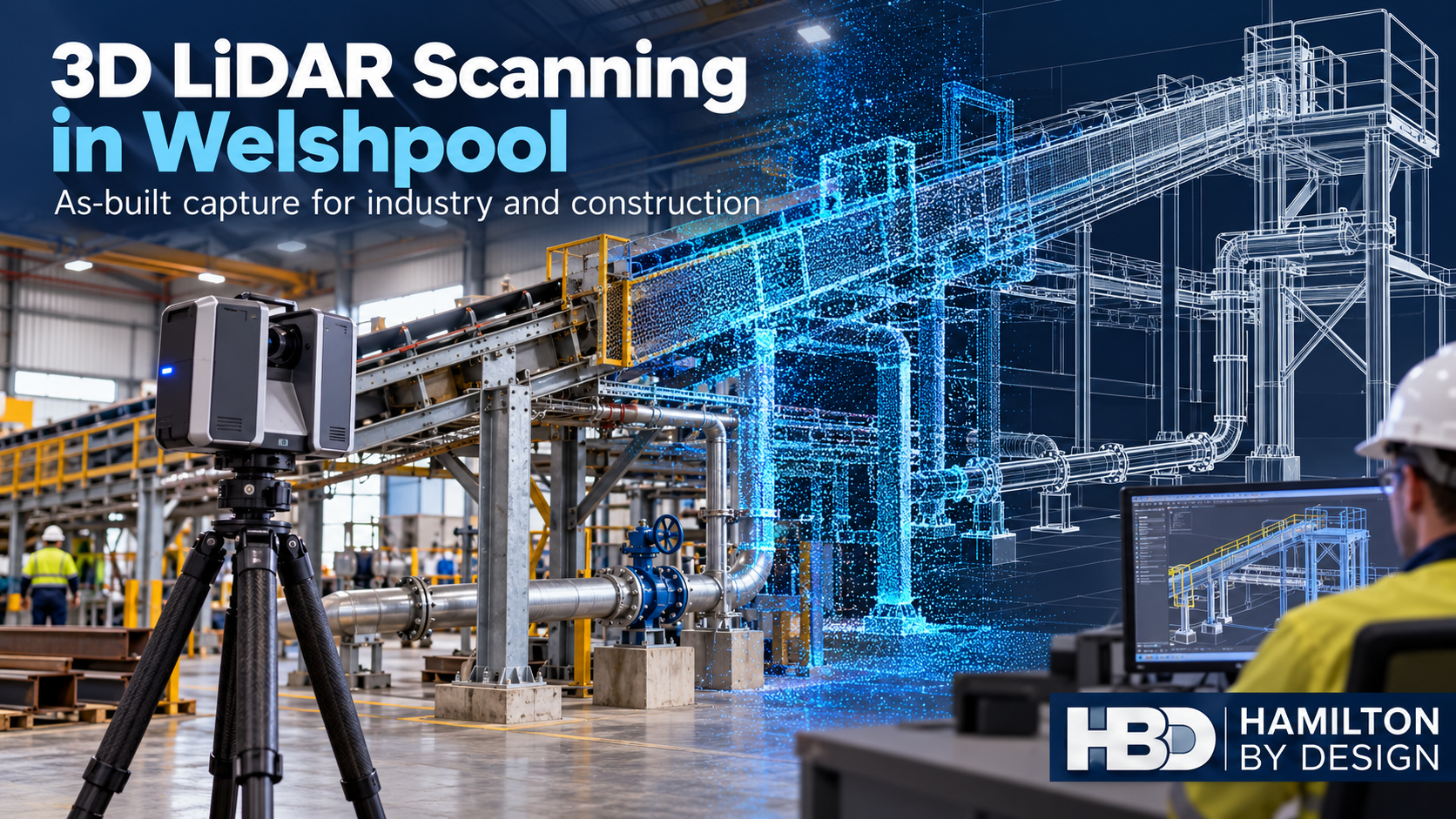
LiDAR scanner capturing a Welshpool industrial conveyor, with the equipment transitioning into a point cloud and 3D CAD model.

Measured site information for engineering, fabrication and construction

Blue 3D LiDAR scanner icon on a tripod with scanning waves

Industrial projects often begin with a simple question: Will the new work fit what is already there?

In a Welshpool workshop, that might mean checking whether a replacement machine fits between existing services and access routes. On a construction site, it might mean confirming the position of installed steelwork before a prefabricated assembly arrives. In an operating plant, it could mean measuring a conveyor transfer point without relying on drawings that no longer reflect the site.

Hamilton By Design provides 3D LiDAR scanning for industrial and construction projects in Welshpool, Western Australia. We capture existing conditions and turn the resulting point cloud into useful information for designers, project engineers, fabricators, builders and maintenance teams.

Our work can extend beyond the scan itself. Where required, we can develop 3D CAD models, as-built drawings, equipment layouts and mechanical design information to support the next stage of a project.

Why existing conditions matter in Welshpool

Welshpool is an established industrial area with engineering, manufacturing, fabrication, mining equipment, logistics and industrial service businesses. Its facilities include busy workshops, production spaces, warehouses and sites that have been altered as operational needs have changed.

In these environments, the available drawings may be incomplete or out of date. Equipment may have moved, a mezzanine may have been added, services may have been rerouted, or a fabricated component may differ from its original drawing. Even a small mismatch can affect installation when a new assembly must connect to existing plant.

A 3D LiDAR survey records visible site geometry as a point cloud. That gives the project team a measured reference for reviewing clearances, locating interfaces and planning modifications. It can also help people working from different locations discuss the same physical conditions before decisions are made.

The survey should be planned around the intended use of the data. A workshop layout, a building refurbishment and a replacement conveyor chute each require a different scan boundary and level of detail.

What can be scanned?

Depending on access and project scope, Hamilton By Design can capture:

  • Manufacturing and fabrication workshops
  • Industrial buildings and construction areas
  • Warehouses and distribution facilities
  • Existing machinery and equipment layouts
  • Conveyors, transfer points, chutes and hoppers
  • Structural steel and equipment support frames
  • Platforms, walkways, stairs and maintenance areas
  • Pipework, cable trays and surrounding services
  • Equipment foundations and installation zones
  • Building interiors, elevations and accessible external areas

The aim is to capture the geometry needed for a decision. If a project involves one machine replacement, scanning the machine footprint, surrounding services, access space and installation route may be more useful than scanning an entire facility.

LiDAR scanning for manufacturing and industrial plant

Welshpool businesses often need to modify equipment while keeping workshops or production areas in use. A proposed machine, skid, conveyor or platform must fit within an existing arrangement that may be crowded with other assets.

3D scanning can establish a measured record of that arrangement before design begins. The point cloud can be used to examine the available footprint, overhead obstructions, adjacent machinery and maintenance access. A proposed CAD model can then be reviewed against the captured site geometry.

This approach is useful for projects such as:

  • Installing or relocating machinery
  • Planning a production line change
  • Modifying a conveyor or transfer point
  • Replacing an obsolete equipment assembly
  • Adding guards or maintenance platforms
  • Designing around existing pipework and steelwork
  • Recording an area ahead of a shutdown

A scan cannot resolve every engineering question on its own. Equipment duty, loading, operating procedures, hazards and maintenance requirements still need to be established with the site team. The point cloud provides the geometric foundation for that work.

LiDAR scanning for construction and refurbishment

Construction projects also depend on reliable information about what has already been built. Existing walls, columns, floors, roof structures and services can affect a new installation or refurbishment. On an active site, conditions may change between the original design and the construction stage.

A 3D scan can support as-built documentation and coordination before detailed design or prefabrication. Designers can review the relationship between existing structure, services and proposed work. Builders and installers can identify areas that need further site checking before materials are ordered.

Typical applications include:

  • Industrial building alterations
  • Warehouse fit-outs
  • Plant-room upgrades
  • New equipment inside an existing building
  • Mezzanine and access modifications
  • Service coordination around installed assets
  • As-built records at a defined project stage

For construction use, the required deliverable should be agreed at the outset. Some teams need a registered point cloud to inspect. Others need plans, sections, elevations or selected features modelled in CAD. The appropriate output depends on the decisions the project team needs to make.

From point cloud to CAD and drawings

A point cloud is a detailed record of measured surfaces. It does not automatically become a finished engineering model or a fabrication drawing.

Hamilton By Design can use scan data to develop agreed Scan to CAD deliverables. Depending on the scope, these may include an existing-condition model, a mechanical equipment layout, general arrangement drawings, sections, elevations or references for fabrication.

We can also combine the measured site with proposed work. This allows a project team to review whether a new component fits the available space and how it relates to adjacent equipment. For mechanical upgrades, our Perth engineering and 3D scanning services can connect site capture with modelling, drafting and design support.

The modelling scope matters. It is usually more efficient to model the features relevant to a project than to convert every visible point into detailed CAD geometry.

Supporting Welshpool fabrication and mining equipment work

Fabricators and equipment repair businesses often receive incomplete information about the site where a component will be installed. A workshop can build an assembly accurately to the supplied drawing, yet still face problems if the drawing does not match the existing asset.

LiDAR scanning can help establish the surrounding arrangement before a new frame, chute, platform or equipment package is designed. Critical interfaces can then be identified for direct verification. The same measured information can support conversations between the site team, designer and fabricator.

For mining equipment and heavy industrial work, scanning may also help document the space around an asset before a repair or replacement. The choice of scanning method depends on the size of the item and the accuracy required. Terrestrial LiDAR is well suited to capturing larger environments; small components and tight-tolerance features may need closer-range measurement or metrology methods.

Planning an effective scan

A useful scan starts with a clear question. Before mobilisation, we would discuss:

  1. The project objective: What is being installed, changed, checked or documented?
  2. The scan boundary: Which equipment, structure and access routes affect the decision?
  3. The required outputs: Does the team need a point cloud, CAD model, drawings or a combination?
  4. Site access: Will the area be operating, isolated, under construction or available during a shutdown?
  5. Critical dimensions: Which connections or tolerances require separate verification?
  6. Data use: Who will review the information, and in which software or file format?

Obstructions and inaccessible surfaces can limit what a scanner records. Reflective materials, moving equipment and changing site conditions may also affect capture. We identify these limitations and agree how any important gaps will be checked.

Where a component must meet a specific fabrication or installation tolerance, the relevant dimensions should be verified for that purpose. A point cloud is a valuable measured reference, but it should not be treated as a blanket tolerance guarantee for every feature in the scene.

Practical information for the next stage

The value of a 3D survey comes from what the project team can do with it. A registered point cloud can help people revisit the area virtually and understand the relationship between assets. Selected CAD models and drawings can help translate that information into design and construction work.

Depending on the agreed scope, deliverables may include point cloud files, 3D models, general arrangements, sections and PDF drawing packs. We can discuss formats early so that the outputs work with the software and review process your team already uses.

For broader Perth projects, see our 3D LiDAR scanning services in Western Australia and 3D scanning services for industrial and construction work.

Frequently asked questions

Can you scan an operating industrial facility?

Potentially, yes. The survey method and timing depend on site access, movement of equipment, safety requirements and the area that must be captured. We would plan the work with the site contact before attendance.

Do you need to scan the whole building?

Usually not. The scan area should follow the project objective. A localised machine installation may require only the relevant part of the building, nearby equipment, services and the installation path.

Can you work from an existing point cloud?

Yes, subject to reviewing its coverage, registration, quality and suitability for the intended task. We can discuss whether additional site capture or dimensional checks are required.

Can you produce CAD drawings from the scan?

Yes. We can develop selected models and drawings from suitable scan data as part of an agreed scope. The required level of detail and critical interfaces should be defined before modelling begins.

Is LiDAR suitable for a small precision component?

Terrestrial LiDAR is primarily used for larger spaces and assets. A small part with tight tolerances may require a different scanning or measurement method. We can help identify an appropriate approach once the component and required accuracy are understood.

Discuss a Welshpool scanning project

If you are planning an industrial upgrade, construction modification, workshop layout change or equipment installation in Welshpool, contact Hamilton By Design. Tell us what you need to change, the area involved, the information already available and the deliverables your team needs.

We can then define a practical survey and documentation scope that supports the next engineering, fabrication or construction decision.


Hamilton By Design logo displayed on a blue tilted rectangle with a grey gradient background

Contact Us – Talk To Us

Name
Would you like us to arrange a phone consultation for you?
Address

Our clients:


Explore services that support Welshpool industrial, fabrication and construction projects after site conditions have been captured.

Industrial 3D LiDAR Scanning in Perth

Capture existing plant, equipment, pipework and structures for upgrade planning, shutdowns and as-built documentation.

Explore industrial scanning →

Mechanical Engineering Services Perth

Develop practical mechanical upgrades for existing industrial plant, with fabrication and installation requirements in mind.

Explore mechanical engineering →

Mechanical, Structural and Pipework Drafting

Turn site information and engineering decisions into equipment layouts, general arrangements and fabrication drawings.

Explore Perth drafting services →

3D Scanning for Structural Drafting

Use measured existing conditions to document steelwork, platforms and other structural interfaces for proposed modifications.

Explore scan-based drafting →

SolidWorks Drafting in Western Australia

Develop mechanical CAD models and drawings for fabricated equipment, replacement assemblies and industrial modifications.

Explore SolidWorks drafting →

Scan to BIM Services in Perth

Convert selected point-cloud information into models for construction coordination, spatial review and existing-asset documentation.

Explore Scan to BIM →

Industrial Scanning for WA Mining

See how 3D scanning supports brownfield plant upgrades, equipment interfaces and shutdown planning across Western Australia.

Explore mining applications →

Reverse Engineering Industrial Equipment

Capture and model existing equipment when drawings are missing, components have changed or replacement work is being planned.

Explore reverse engineering →

3D Laser Scanning Kwinana: Engineering-Grade LiDAR for Industrial Plant

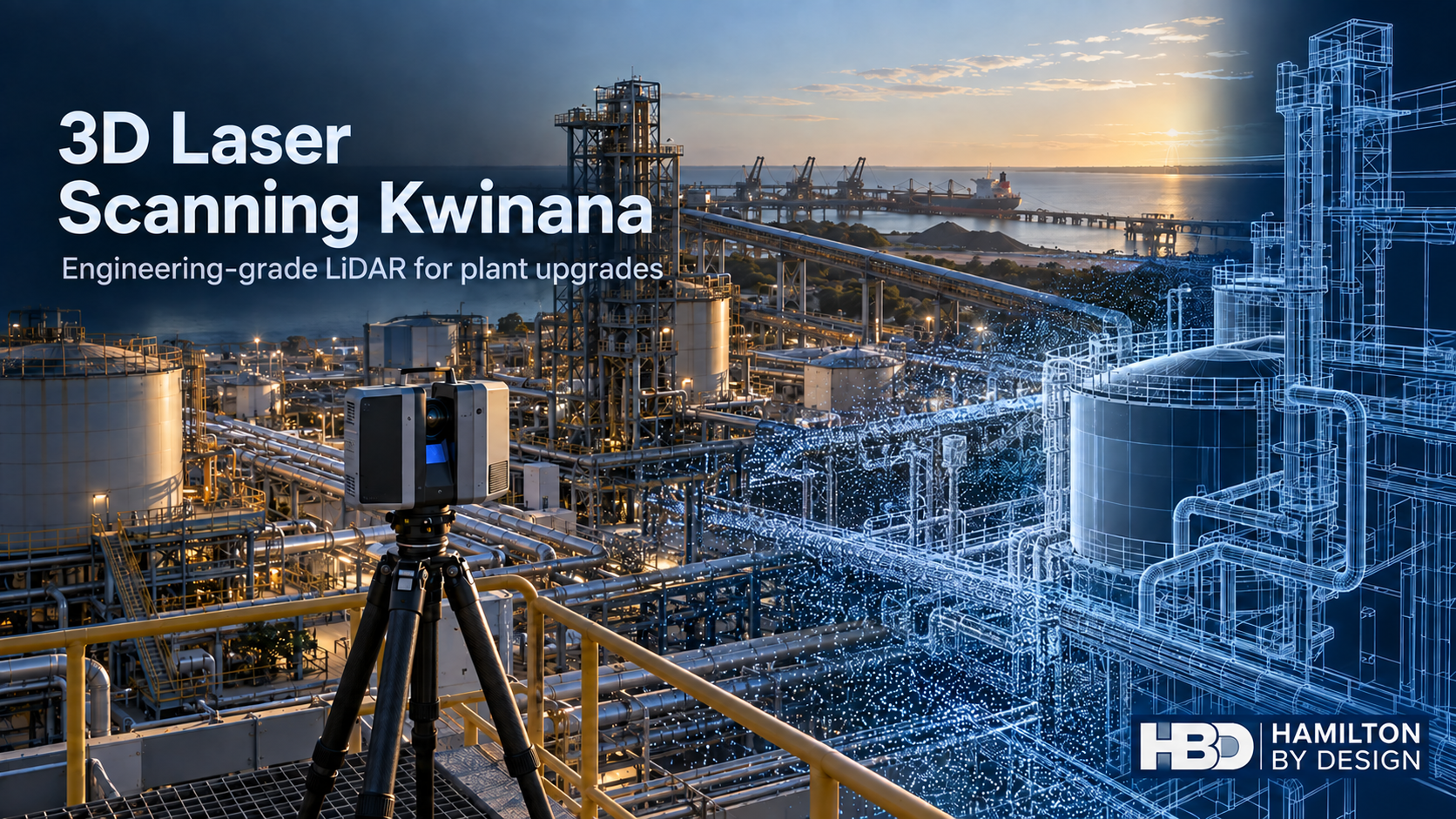
3D laser scanner overlooking a Kwinana industrial plant, with pipework and tanks transitioning into a blue point cloud and CAD model.
Blue 3D LiDAR scanner icon on a tripod with scanning waves

Know what is actually on site before you design, fabricate or shut down. Hamilton By Design provides engineering-grade 3D laser scanning in Kwinana and Kwinana Beach for process plants, bulk materials facilities, workshops and industrial infrastructure. We turn measured site conditions into point clouds, usable CAD models and drawings that help project teams plan modifications around existing equipment.

A Kwinana plant upgrade rarely starts with an empty space. New pipework must pass existing services. A replacement pump skid must align with foundations and connection points. A conveyor modification needs room for guarding, inspection and maintenance. When drawings have not kept pace with years of alterations, a reliable site survey is a practical first step.

Our engineering laser scanning workflow connects reality capture with mechanical design and fabrication information. The scope is agreed around the decisions you need to make, from a localised equipment interface to a wider plant area.

Why Kwinana needs an engineering-led scan

Kwinana’s heavy industrial core brings chemical and resource processing, bulk port activities, energy infrastructure and support businesses together. The Western Trade Coast also has extensive exchanges of materials, by-products and utilities between businesses. That concentration creates useful industrial connections, but it makes interfaces and access especially important when existing plant is changed. Kwinana Industries Council describes the precinct and its industrial synergies.

In Kwinana Beach, a survey may need to capture more than the item being replaced: adjacent lines, supports, cable routes, walkways, laydown space, lifting paths and the clearances needed to maintain the equipment later. Our measured model gives designers and fabricators a common reference. Critical dimensions and tolerances are separately checked for their intended use; a point cloud alone does not certify every interface dimension.

The precinct is also evolving. Industrial recycled-water capacity is being expanded, while Kwinana Bulk Terminal redevelopment is in planning. These developments illustrate the mix of existing assets and proposed new work that requires careful coordination. Their schedules and approvals belong to the respective project owners.

What we can scan

  • Operating process areas, pump rooms, plant rooms and production equipment.
  • Pipework corridors, tanks, vessels, skids and connection points.
  • Conveyors, transfer stations, chutes, hoppers and bulk-handling interfaces.
  • Platforms, stairs, walkways, guards and maintenance access.
  • Workshop equipment, fabrication interfaces and obsolete components.
  • Areas affected by shutdown work, equipment replacement or site redevelopment.

Terrestrial LiDAR is suited to capturing a wider plant area and the relationships between its components. Close-range scanning and direct measurement can then be used for smaller parts or critical features when the specified tolerance demands it. We choose the capture method after discussing access, geometry, surface conditions and the required deliverable.

From point cloud to a useful engineering deliverable

  1. Define the question. Identify the equipment, interfaces, required accuracy, site controls and decisions the survey must support.
  2. Capture the existing conditions. Scan accessible areas under the site’s induction, permit and isolation arrangements.
  3. Register and review. Align the scans, review coverage and flag obscured or uncertain areas.
  4. Model the relevant geometry. Build the amount of CAD detail needed for equipment fit, routing, access or fabrication.
  5. Check critical interfaces. Confirm important dimensions by suitable measurement before relying on them for manufacture.
  6. Issue controlled information. Provide the agreed point cloud, model, general arrangements and drawings with clear revision status.

Depending on the brief, deliverables may include E57 or other point-cloud formats, ReCap-compatible files, SolidWorks models, STEP geometry, DWG/DXF drawings, general arrangements, sections and fabrication details. A point cloud is a measured record; the CAD model is an interpretation prepared to the agreed purpose and level of detail.

Five common problems we help Kwinana teams work through

1. Existing drawings do not reflect the plant

Shutdown changes, rerouted pipework and replacement equipment can leave the drawing register behind. LiDAR capture establishes a current geometric baseline. We can compare the scan with a proposed layout and prepare as-built CAD and scan-to-CAD models for the affected area.

2. New equipment may not fit

A skid may clear the floor plan but conflict with a valve, cable tray or lifting path. We can model the proposed envelope against the point cloud, identify potential clashes and develop interface drawings before workshop manufacture. The final site checks are set by the project’s tolerance and installation method.

3. Pipework is congested

A replacement route must accommodate existing lines, supports, access and maintenance. We can provide measured routing information, 3D layouts and mechanical and pipework drafting. Pressure-piping design, inspection and testing requirements must be established for the actual service and project scope.

4. Bulk-handling equipment needs modification

Transfer chutes, conveyors and hoppers can suffer from poor fit, material build-up, wear or restricted access. We can scan the installed geometry, model proposed changes and produce drawings for fabrication review. See our chute and materials-handling engineering capability.

5. Maintenance access and machinery hazards are difficult to resolve

A guard or platform must fit the actual machine while allowing safe operating and maintenance tasks. We can map the existing equipment, support a task-based hazard review and develop guarding and access concepts with the site team. Our machine guarding service explains the engineering approach.

Mechanical engineering and drafting support

Hamilton By Design can continue beyond the survey. Our mechanical engineering work may include equipment layouts, pump skids, replacement component modelling, reverse engineering, conveyor and chute modifications, access concepts and mechanical assessment. SolidWorks and AutoCAD drawings can communicate the arrangement to the workshop and installation crew. Where calculations, FEA, process design or specialist certification are needed, the scope and responsible disciplines should be established at the start.

Fabrication-ready information may include a general arrangement, sections, part and assembly drawings, interfaces, tolerances, materials, weld notes and a drawing register. Drawing content depends on the manufacturing method and the client’s specification. Our existing Kwinana service overview covers the wider mechanical and reverse-engineering offering.

Safety and standards are part of the brief

The applicable requirements depend on the equipment, location, hazards and the work being performed. Examples for a Kwinana mechanical project include the AS/NZS 4024 machinery-safety series for safeguarding, AS 1657 for fixed access, AS 4041 for pressure piping and AS 4991 for relevant lifting devices. A bulk-solids container may require AS 3774; conveyor requirements need a separate equipment-specific review. These references are starting points for scope definition, not a blanket claim that every standard applies to every asset.

For plant and chemical facilities, the site operator’s risk assessment, permits, isolation procedures and management of change remain essential. WorkSafe WA’s plant risk code provides guidance. We can help document geometry, mechanical hazards, access constraints and proposed design controls for review with the responsible site personnel and other specialists.

Who this service is for

We work with maintenance managers who need reliable information before a shutdown; project engineers developing brownfield upgrades; fabricators checking fit before cutting steel; and asset owners building a usable record of existing plant. The service can support chemical processing, minerals processing, water infrastructure, bulk materials, energy facilities and industrial workshops across Kwinana, Kwinana Beach and the wider Perth region.

Our Perth 3D scanning and mechanical engineering page covers work across the wider metropolitan area. This page focuses on the engineering decisions faced by Kwinana industrial teams.

Frequently asked questions

Can you scan an operating plant?

Often, yes, subject to the site’s access, safety, permit and isolation requirements. We agree the scan area and any operational restrictions before mobilisation. Some hidden or inaccessible geometry may need a later shutdown survey.

Is a point cloud accurate enough for fabrication?

That depends on the feature, distance, access, registration, surface and required tolerance. We specify the intended use and verify critical dimensions by an appropriate method. A general plant scan should not be treated as a universal tolerance certificate.

Do we receive CAD drawings or only scan data?

Either can be supplied. The scope may cover scanning only, an as-built model, layout drawings or a complete mechanical design and fabrication drawing package. Tell us who will use the information and what decision it must support.

Can you work from old drawings and an existing model?

Yes. Existing information can be compared against measured conditions. We identify discrepancies and model the relevant interfaces so the project team can decide which information is suitable for the modification.

What should we send for a proposal?

Share the site location, photographs or marked-up plans, the equipment or area involved, desired deliverables, required tolerances, access windows and target dates. A short phone discussion can then define the survey and engineering scope.

Discuss your Kwinana project

Planning a plant modification, equipment replacement or shutdown in Kwinana? Contact Hamilton By Design with the problem you need to solve. We can define the capture area, critical interfaces and deliverables before arranging site work.


Hamilton By Design logo displayed on a blue tilted rectangle with a grey gradient background

Contact Us – Talk To Us

Name
Would you like us to arrange a phone consultation for you?
Address

Our clients:


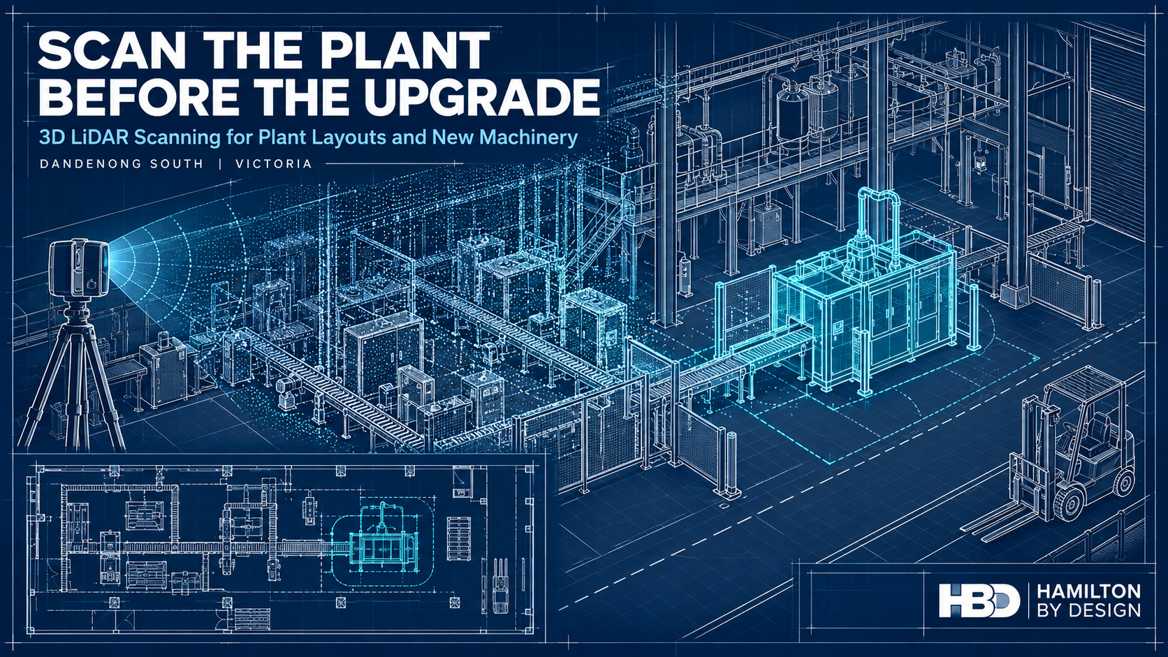
3D LiDAR Scanning Dandenong South for Plant Layouts and Machinery Upgrades

Technical drawing of a factory being scanned with LiDAR, showing a point cloud and proposed machinery in the plant layout.
Blue 3D LiDAR scanner icon on a tripod with scanning waves

A machinery upgrade often begins with an equipment specification and a proposed position on a floor plan. The machine may fit within the room on paper, but the drawing may not show a relocated conveyor, a low pipe, an altered platform or the space needed to remove a motor for maintenance.

These details are much easier to address before equipment is ordered and fabrication begins.

Hamilton By Design provides 3D LiDAR scanning in Dandenong South to help manufacturers and project teams understand their existing plant before planning a change. We can capture factory layouts, machinery, conveyors, pipework and surrounding structures, then develop the point clouds, CAD models and drawings needed to assess an upgrade.

The value of scanning early is that the project starts with a reliable picture of the space it must work within. The scan does not decide where a machine should go. It gives the people making that decision better information.

Start with the Plant as It Exists Today

Factories change continuously. A machine is moved to improve production. A pipe is rerouted during maintenance. A guard is replaced, a platform is extended or temporary equipment becomes permanent. Each change may be understood by the people who made it, but it may never reach the master layout.

By the time a larger upgrade is proposed, the available drawings can be several changes behind the physical plant.

A 3D LiDAR survey records visible surfaces throughout the relevant area. The resulting point cloud provides a measurable spatial record of machinery, building elements and services at the time of the survey. HBD can use it to prepare an updated layout or model selected parts of the plant for design work.

This is useful whether the project concerns one machine or an entire production area. The survey scope can concentrate on the spaces and interfaces that affect the decision, rather than treating every object in the factory as equally important. HBD’s broader 3D laser scanning services in Melbourne support this type of existing-condition work.

Plan the Layout Before Committing to Equipment

A new machine needs more than a space large enough for its footprint. The project team also needs to consider how materials reach it, how finished product leaves it, how operators use it and how maintenance staff access it.

Early plant layout scanning can help answer questions such as:

  • Will the equipment fit alongside the machinery already installed?
  • Is there room for feeding, discharge and product transfer?
  • Can guards and access doors open as intended?
  • Can a motor, gearbox or other serviceable component be removed later?
  • Do existing columns, platforms, pipework or cable routes affect installation?
  • Will the change interrupt a pedestrian route, forklift movement or emergency access?

These questions are difficult to resolve confidently from an old two-dimensional plan. A point cloud allows the proposed equipment to be reviewed in relation to the visible conditions around it.

For a Dandenong South manufacturer considering a new production line, packing machine or conveyor, scanning at the concept stage can inform the equipment brief itself. It may reveal that a different orientation, connection point or maintenance arrangement would be more practical. Finding that out before purchase gives the client more room to make an informed choice.

Compare Upgrade Options Against the Same Site Data

Plant upgrades rarely have only one possible arrangement. A business may be deciding whether to extend a line, replace a machine in its current position or move part of the process to another area.

An as-built survey provides a consistent reference for comparing those options. HBD can develop an appropriate plant layout from the scan data and use it with the client’s equipment information to examine space, access and likely physical clashes. The level of CAD modelling should match the decision: an early layout study may need less detail than a fabrication package.

This staged approach makes the information easier to use. A maintenance manager may first need to know whether a proposed arrangement is practical. Once an option is selected, the project may need more detailed checks of mounting points, conveyor interfaces or nearby services.

HBD’s mechanical engineering support in Melbourne can connect the survey to mechanical design and documentation as the project develops.

Reduce Uncertainty Before a Shutdown

A short installation window leaves little time to correct a component that does not fit. If the first accurate check of an interface happens during the shutdown, a small discrepancy can delay several trades at once.

Early scanning can help a project team examine where a new item meets the existing plant. That might include the position of a conveyor, the envelope around a pump skid or the space available for a fabricated support. A model can also help the fabricator understand nearby obstructions and the likely installation sequence.

The important distinction is between surveying a space and verifying a critical fit. LiDAR is well suited to recording larger plant areas and visible geometry. Tight tolerances, concealed connections and important machined features may require separate measurement. HBD can identify those checks as part of a defined scope, so the drawings make clear which dimensions have been verified.

Our 3D scanning for fabrication service in Melbourne applies this information to design review, fit-up and installation planning.

See How the New Machinery Affects the Whole Area

A plant layout is a working system, not simply a collection of machine outlines. Moving one piece of equipment can alter the way people, materials and maintenance activities move through the area.

A new conveyor might improve product flow but narrow access to another machine. A larger enclosure might fit beside a wall but leave insufficient space to open its service panels. A relocated packing station might change the route between production and dispatch.

Reviewing these relationships early can improve the design brief. The scan gives the project team a shared view of the physical constraints, while the people who operate and maintain the plant explain how the space is actually used. Both forms of information are needed.

This is particularly relevant where factory production and warehouse operations meet. A survey can record doors, columns, dock areas and fixed equipment, but forklift and pedestrian arrangements also require a site-specific traffic-management review. WorkSafe Victoria advises separating forklifts from pedestrians as a way to reduce risk.

Use the Survey for Guarding and Maintenance Access

Machinery changes can create new safety questions. Once equipment is placed in its proposed position, will a guard fit around it? Can workers clean and maintain the machine without reaching through a danger area? Is there suitable space for a platform or walkway?

LiDAR scanning can record the physical arrangement needed to explore these questions. HBD can use the survey when developing guard concepts, access layouts and fabrication drawings through its machine guarding design service.

The geometry is only one part of the assessment. Guarding decisions also depend on the machine’s hazards and the tasks performed by operators and maintenance staff. Relevant parts of the AS/NZS 4024 machinery-safety series may apply, while fixed platforms, walkways, stairs and ladders may require assessment against AS 1657. WorkSafe Victoria’s Compliance code: Plant provides guidance for managing plant-related risks in Victorian workplaces.

Considering these matters during layout planning is more effective than discovering, after a machine has been positioned, that its guard or maintenance access has nowhere to go.

Make Better Use of Existing Machinery Data

Some upgrades begin with reliable supplier models for the proposed equipment but little trustworthy information about the equipment already on site. Others involve older machines for which no usable CAD model exists.

HBD can use site scanning alongside available OEM information to build a model suited to the project. It may be enough to represent an existing machine’s overall envelope and connection points. Where a replacement component or modified interface is required, more detailed reverse engineering and 3D scanning may be appropriate.

The aim is to model what the project needs to know. An early plant layout does not need every fastener represented. A replacement housing, by contrast, may require close attention to its measured features, function and intended fit.

Turn the Scan into Useful Project Deliverables

A point cloud is a valuable record, but different members of a project team need different information from it. The equipment supplier may need installation clearances. The client may need an updated 2D floor plan. A fabricator may need controlled drawings. The maintenance team may want a record that can support later changes.

Depending on the agreed scope, HBD can provide registered scan data, plant layouts, 3D CAD models, general arrangement drawings and selected fabrication details. Our mechanical drafting services can carry the work beyond the initial survey when drawings are required for review or manufacture.

It is worth defining the deliverables before scanning starts. That allows the survey to capture the necessary areas and helps identify where extra inspection or critical-dimension checks will be needed. It also makes the limits of the data clear to everyone using it.

The agreed file formats, access arrangements and retention period can be set out with the project scope, particularly where the scan includes commercially sensitive production equipment.

Why the Timing Matters

Scanning after a layout is finalised can still be useful for checking and documentation. Scanning before major decisions are locked in gives the project more opportunities to benefit from the information.

At that stage, the client may still be able to change a machine’s orientation, ask an equipment supplier to modify an interface or select a different location. The project team can resolve spatial questions before drawings are issued for fabrication. It can also identify information that the scan cannot establish, such as hidden services, floor capacity or a component’s material, and arrange the appropriate specialist checks.

For a working factory, early scanning is a way to make the design process more deliberate. It does not remove every uncertainty, but it shows many of the physical constraints while there is still time to respond to them.

Frequently Asked Questions

When should we scan a plant for a machinery upgrade?

Ideally, scan while the project team is still considering layouts or preparing the equipment brief. The survey can then inform the arrangement before the machinery position and interfaces are fixed. A further targeted check may be appropriate before fabrication or installation.

Do we need to scan the entire factory?

Usually, the survey can be scoped to the area affected by the change. It should include enough surrounding plant, access space and services to assess the proposed machinery and its connections. A wider scan may be worthwhile if several future upgrades are being planned.

Can HBD prepare a 2D plant layout from the scan?

Yes. The agreed deliverables can include a 2D layout, registered point cloud and selected 3D CAD models. The level of detail should reflect whether the plan is intended for early options, engineering design or fabrication.

Can a proposed machine be placed into the existing plant model?

Yes, provided suitable dimensions or a supplier model are available. Reviewing the proposed equipment against surveyed conditions can help identify spatial conflicts and questions that need further checking.

Will LiDAR scanning confirm that the floor can carry a new machine?

No. Scanning records visible geometry; it does not establish the capacity of a slab or its foundations. Loading and structural capacity require appropriate records, investigation and assessment by a suitably qualified practitioner.

Can scanning be done while production continues?

Often, but the method depends on site access, moving machinery, visibility and the areas that must be captured. Some measurements may be better completed during a production pause or shutdown. HBD can plan the survey with the site team around the project’s requirements.

What information should we send HBD first?

A marked-up floor plan or photographs are a useful start. Explain what machinery you want to add or change, what decision you need to make, any proposed installation date and what drawings or supplier models you already have. That information helps define the survey area and the most useful deliverables.

Plan the Upgrade from a Measured Starting Point

If you are planning to add machinery, rearrange a production area or upgrade equipment in Dandenong South, an early plant layout survey can give your team a clearer starting point. Hamilton By Design can discuss the proposed change, capture the existing conditions and develop the scan data, models and drawings needed for the next decision.

Contact Hamilton By Design to discuss 3D LiDAR scanning for your Dandenong South plant layout or machinery upgrade.


Hamilton By Design logo displayed on a blue tilted rectangle with a grey gradient background

Contact Us – Talk To Us

Name
Would you like us to arrange a phone consultation for you?
Address

Our clients:


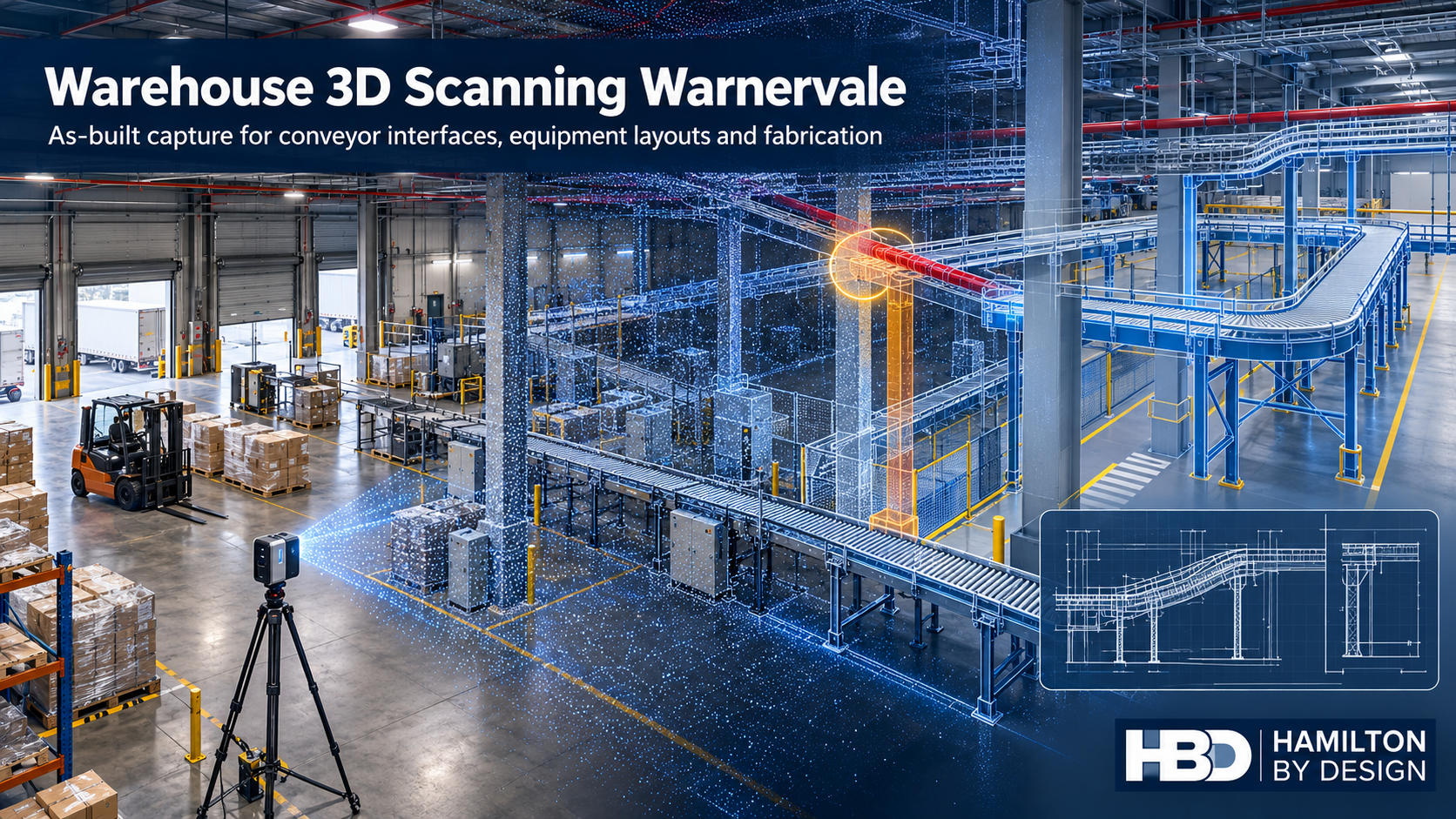
Warehouse 3D Scanning in Warnervale: Designing Around What Is Actually There

Illustration of a Warnervale warehouse showing a laser scanner, point cloud, conveyor clash and revised CAD layout.
Blue 3D LiDAR scanner icon on a tripod with scanning waves

A warehouse fit-out often begins with a clean drawing. The building on site may tell a different story. A column is slightly out of position, a service crosses the proposed conveyor route, or equipment installed after handover occupies space shown as clear on the original plan. Each difference matters when a new system must be fabricated and installed while the warehouse keeps operating.

Hamilton By Design provides warehouse 3D scanning in Warnervale, NSW, to establish the existing conditions before layouts and mechanical details are finalised. We can turn the scan into a point cloud, an as-built drawing or a CAD model suited to the decision the client needs to make. From there, our mechanical design and drafting services can support conveyor interfaces, equipment layouts and fabrication documentation.

For a new facility, the question may be, “What was actually built?” For an established distribution centre, it is more likely, “Will the proposed change fit without disrupting the operation?” Both questions are better answered before components arrive on site.

Why Warnervale needs its own approach

Warnervale is more than a name on a Central Coast service-area list. Its business park sits close to the M1 and Sparks Road interchange, beside Central Coast Airport and near the railway. The precinct includes established distribution activity, while the wider Warnervale area is identified for further industrial, manufacturing, logistics and warehouse uses. That creates two kinds of engineering work: adapting facilities already in use and preparing newer buildings for their first equipment fit-out.

The businesses in and around the precinct illustrate its range. Woolworths has a distribution-centre property at Warnervale. PFD Foodservice has identified a new Warnervale site, while Coastal Transport Services lists its depot and head office on Burnet Road. Sanitarium lists a Development & Innovation location at Warnervale; its listed Central Coast factory is at Berkeley Vale. These examples describe local activity, not projects undertaken by Hamilton By Design.

There is also a geographical detail worth getting right. Warnervale Business Park and Warner Business Park are different developments; the latter is in nearby Jilliby. A facility’s address and site boundaries should be confirmed before its layout, access or planning conditions are discussed.

The point where a drawing becomes an installation problem

Consider a proposed conveyor through an occupied warehouse. On a concept drawing, its route may appear straightforward. On site, the installation team must work around columns, doors, overhead services, existing machines, pedestrian routes and maintenance access. A support frame may need to land in a narrow space that has never been measured for that purpose.

An as-built scan records the visible geometry of the relevant area. The registered point cloud can then be used to review the proposed conveyor against the building and existing equipment. Depending on the project, HBD can develop plan views, sections, selected equipment models and installation details. The aim is to identify difficult interfaces while there is still time to change the design.

This is the connection between 3D LiDAR scanning in Wyong and surrounding areas and practical warehouse engineering. The scan is a starting point for decisions: where the equipment can go, what needs to be moved, which dimensions require direct verification and what the fabricator needs to know.

What should be captured in a Warnervale warehouse?

Scanning an entire building is not automatically the right scope. A project to install one transfer conveyor may need detailed coverage of its route, support locations, connection points and nearby services. A broader warehouse reconfiguration may require a coordinated record of the floor, columns, docks, major equipment and circulation spaces.

A useful scoping discussion starts with the proposed change. HBD can then identify which of the following need to be captured:

  • Building columns, walls, doors, slab levels and relevant overhead features.
  • Existing conveyors, machines, guards and access platforms.
  • Equipment connection points and spaces needed for operation or maintenance.
  • Loading and movement areas affected by a layout change.
  • Selected dimensions that must be checked directly before fabrication.

A point cloud contains a great deal of information, but it does not automatically verify every fabrication dimension. Critical interfaces should be identified early, given suitable access and checked to the tolerance required by the work. HBD’s 3D scanning for fabrication service in Wyong explains how site capture can support components and installation layouts intended to fit existing assets.

From as-built scanning to a workable layout

A warehouse layout has to do more than fit equipment inside a building. It must allow materials to move through the operation and give people room to use, clean and maintain the equipment. A conveyor positioned solely by its footprint may block access to a door or leave too little room to remove a component later.

HBD can use the scan as a reference for alternative equipment positions and mechanical interfaces. The output might be a straightforward two-dimensional floor plan, a three-dimensional model of a congested area, or fabrication drawings for supports and brackets. The required level of detail depends on whether the client is exploring options, seeking approval for a layout or ready to manufacture components.

Our wider Central Coast point-cloud-to-CAD workflow connects site capture with usable models and drawings. For projects that need equipment modification as well as measurement, mechanical engineering services on the Central Coast can support the design and fabrication stages.

3D laser scanning in Warnervale is particularly useful when several contractors are working from different assumptions. A shared as-built reference helps the warehouse operator, equipment supplier, mechanical designer and fabricator discuss the same physical constraints. It also provides a baseline against which later changes can be recorded.

Five problems to resolve before a fit-out

The first problem is unreliable existing drawings. Construction drawings show design intent, while the installed facility may have changed during construction or operation. An as-built survey establishes the features relevant to the proposed work.

The second is equipment that fits on paper but clashes on site. Conveyor routes and machine envelopes should be checked against columns, services, doors and adjacent plant before supports or components are made.

Third is limited installation access. Fabrication drawings need to account for how a component will be brought into the building, positioned and connected. Measuring the final location alone may miss the route required to get it there.

Fourth is the interaction between equipment and people. A layout change can alter access to machinery or the way workers and vehicles move through an area. The operator’s risk assessment should consider those changes. Scan data and CAD layouts can help document the geometry, but the scan itself is not a safety assessment.

Fifth is the loss of a reliable engineering record. When a project finishes, its measured information can be more valuable than the original concept drawing. Subject to the client’s agreed confidentiality and retention arrangements, HBD can retain factory point clouds, machine models, conveyor layouts, CAD files, fabrication drawings and equipment-interface information for future modifications.

A record that supports the next change

Warehouses rarely stay in their original arrangement. A tenant may introduce a new product line, move a machine, alter a conveyor or change how an area is used. Each change is easier to plan when the project team can locate a dependable record of the previous one.

That does not mean modelling every bolt in the building. A useful digital record is organised around purpose: the areas captured, the date and revision, the features modelled, and any limits on how the data should be used. When fabrication is involved, the record should also distinguish between general scan geometry and dimensions specifically verified for manufacture.

For an owner or operator, this gives future teams a clearer starting point. For a fabricator, it reduces the number of assumptions hidden in a drawing. For a project manager, it makes an interface question easier to resolve before it becomes a site delay.

Frequently asked questions

Can HBD scan a warehouse that is still operating?

Yes, subject to site access, induction and a suitable scan plan. The survey can be organised around the areas needed for the project. An active site may require coordination with vehicle movements, equipment use and restricted work areas.

Does a new warehouse need as-built scanning if construction drawings already exist?

It may, particularly before closely fitting conveyors, machinery or fabricated supports are installed. The scan can check the relevant built geometry against the proposed equipment layout. The extent of scanning should reflect the fit-out risk rather than an assumption that the whole building needs a detailed model.

What is included in scan to CAD for a Warnervale factory fit-out?

That depends on the agreed deliverables. It may include a registered point cloud, a two-dimensional layout, selected three-dimensional building or machine geometry, sections through congested areas, and drawings for mechanical or fabrication work. HBD can define those outputs with the client before scanning.

Can warehouse scanning help with conveyor design?

Yes. Scanning can establish the available route and the position of existing equipment, structure and services. Mechanical design is then needed to develop the conveyor arrangement, supports and interfaces. The scan provides measured context; it does not design the conveyor by itself.

Is a point cloud accurate enough to fabricate from?

Accuracy depends on the scanner


Hamilton By Design logo displayed on a blue tilted rectangle with a grey gradient background

Contact Us – Talk To Us

Name
Would you like us to arrange a phone consultation for you?
Address

Our clients: