


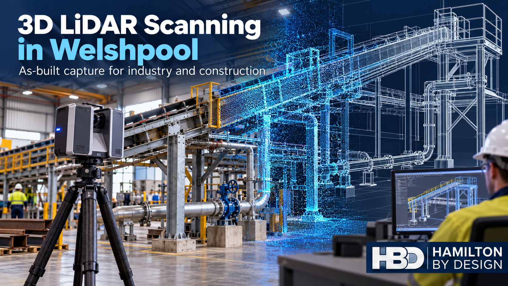
Measured site information for engineering, fabrication and construction

Industrial projects often begin with a simple question: Will the new work fit what is already there?
In a Welshpool workshop, that might mean checking whether a replacement machine fits between existing services and access routes. On a construction site, it might mean confirming the position of installed steelwork before a prefabricated assembly arrives. In an operating plant, it could mean measuring a conveyor transfer point without relying on drawings that no longer reflect the site.
Hamilton By Design provides 3D LiDAR scanning for industrial and construction projects in Welshpool, Western Australia. We capture existing conditions and turn the resulting point cloud into useful information for designers, project engineers, fabricators, builders and maintenance teams.
Our work can extend beyond the scan itself. Where required, we can develop 3D CAD models, as-built drawings, equipment layouts and mechanical design information to support the next stage of a project.
Why existing conditions matter in Welshpool
Welshpool is an established industrial area with engineering, manufacturing, fabrication, mining equipment, logistics and industrial service businesses. Its facilities include busy workshops, production spaces, warehouses and sites that have been altered as operational needs have changed.
In these environments, the available drawings may be incomplete or out of date. Equipment may have moved, a mezzanine may have been added, services may have been rerouted, or a fabricated component may differ from its original drawing. Even a small mismatch can affect installation when a new assembly must connect to existing plant.
A 3D LiDAR survey records visible site geometry as a point cloud. That gives the project team a measured reference for reviewing clearances, locating interfaces and planning modifications. It can also help people working from different locations discuss the same physical conditions before decisions are made.
The survey should be planned around the intended use of the data. A workshop layout, a building refurbishment and a replacement conveyor chute each require a different scan boundary and level of detail.
What can be scanned?
Depending on access and project scope, Hamilton By Design can capture:
- Manufacturing and fabrication workshops
- Industrial buildings and construction areas
- Warehouses and distribution facilities
- Existing machinery and equipment layouts
- Conveyors, transfer points, chutes and hoppers
- Structural steel and equipment support frames
- Platforms, walkways, stairs and maintenance areas
- Pipework, cable trays and surrounding services
- Equipment foundations and installation zones
- Building interiors, elevations and accessible external areas
The aim is to capture the geometry needed for a decision. If a project involves one machine replacement, scanning the machine footprint, surrounding services, access space and installation route may be more useful than scanning an entire facility.
LiDAR scanning for manufacturing and industrial plant
Welshpool businesses often need to modify equipment while keeping workshops or production areas in use. A proposed machine, skid, conveyor or platform must fit within an existing arrangement that may be crowded with other assets.
3D scanning can establish a measured record of that arrangement before design begins. The point cloud can be used to examine the available footprint, overhead obstructions, adjacent machinery and maintenance access. A proposed CAD model can then be reviewed against the captured site geometry.
This approach is useful for projects such as:
- Installing or relocating machinery
- Planning a production line change
- Modifying a conveyor or transfer point
- Replacing an obsolete equipment assembly
- Adding guards or maintenance platforms
- Designing around existing pipework and steelwork
- Recording an area ahead of a shutdown
A scan cannot resolve every engineering question on its own. Equipment duty, loading, operating procedures, hazards and maintenance requirements still need to be established with the site team. The point cloud provides the geometric foundation for that work.
LiDAR scanning for construction and refurbishment
Construction projects also depend on reliable information about what has already been built. Existing walls, columns, floors, roof structures and services can affect a new installation or refurbishment. On an active site, conditions may change between the original design and the construction stage.
A 3D scan can support as-built documentation and coordination before detailed design or prefabrication. Designers can review the relationship between existing structure, services and proposed work. Builders and installers can identify areas that need further site checking before materials are ordered.
Typical applications include:
- Industrial building alterations
- Warehouse fit-outs
- Plant-room upgrades
- New equipment inside an existing building
- Mezzanine and access modifications
- Service coordination around installed assets
- As-built records at a defined project stage
For construction use, the required deliverable should be agreed at the outset. Some teams need a registered point cloud to inspect. Others need plans, sections, elevations or selected features modelled in CAD. The appropriate output depends on the decisions the project team needs to make.
From point cloud to CAD and drawings
A point cloud is a detailed record of measured surfaces. It does not automatically become a finished engineering model or a fabrication drawing.
Hamilton By Design can use scan data to develop agreed Scan to CAD deliverables. Depending on the scope, these may include an existing-condition model, a mechanical equipment layout, general arrangement drawings, sections, elevations or references for fabrication.
We can also combine the measured site with proposed work. This allows a project team to review whether a new component fits the available space and how it relates to adjacent equipment. For mechanical upgrades, our Perth engineering and 3D scanning services can connect site capture with modelling, drafting and design support.
The modelling scope matters. It is usually more efficient to model the features relevant to a project than to convert every visible point into detailed CAD geometry.
Supporting Welshpool fabrication and mining equipment work
Fabricators and equipment repair businesses often receive incomplete information about the site where a component will be installed. A workshop can build an assembly accurately to the supplied drawing, yet still face problems if the drawing does not match the existing asset.
LiDAR scanning can help establish the surrounding arrangement before a new frame, chute, platform or equipment package is designed. Critical interfaces can then be identified for direct verification. The same measured information can support conversations between the site team, designer and fabricator.
For mining equipment and heavy industrial work, scanning may also help document the space around an asset before a repair or replacement. The choice of scanning method depends on the size of the item and the accuracy required. Terrestrial LiDAR is well suited to capturing larger environments; small components and tight-tolerance features may need closer-range measurement or metrology methods.
Planning an effective scan
A useful scan starts with a clear question. Before mobilisation, we would discuss:
- The project objective: What is being installed, changed, checked or documented?
- The scan boundary: Which equipment, structure and access routes affect the decision?
- The required outputs: Does the team need a point cloud, CAD model, drawings or a combination?
- Site access: Will the area be operating, isolated, under construction or available during a shutdown?
- Critical dimensions: Which connections or tolerances require separate verification?
- Data use: Who will review the information, and in which software or file format?
Obstructions and inaccessible surfaces can limit what a scanner records. Reflective materials, moving equipment and changing site conditions may also affect capture. We identify these limitations and agree how any important gaps will be checked.
Where a component must meet a specific fabrication or installation tolerance, the relevant dimensions should be verified for that purpose. A point cloud is a valuable measured reference, but it should not be treated as a blanket tolerance guarantee for every feature in the scene.
Practical information for the next stage
The value of a 3D survey comes from what the project team can do with it. A registered point cloud can help people revisit the area virtually and understand the relationship between assets. Selected CAD models and drawings can help translate that information into design and construction work.
Depending on the agreed scope, deliverables may include point cloud files, 3D models, general arrangements, sections and PDF drawing packs. We can discuss formats early so that the outputs work with the software and review process your team already uses.
For broader Perth projects, see our 3D LiDAR scanning services in Western Australia and 3D scanning services for industrial and construction work.
Frequently asked questions
Can you scan an operating industrial facility?
Potentially, yes. The survey method and timing depend on site access, movement of equipment, safety requirements and the area that must be captured. We would plan the work with the site contact before attendance.
Do you need to scan the whole building?
Usually not. The scan area should follow the project objective. A localised machine installation may require only the relevant part of the building, nearby equipment, services and the installation path.
Can you work from an existing point cloud?
Yes, subject to reviewing its coverage, registration, quality and suitability for the intended task. We can discuss whether additional site capture or dimensional checks are required.
Can you produce CAD drawings from the scan?
Yes. We can develop selected models and drawings from suitable scan data as part of an agreed scope. The required level of detail and critical interfaces should be defined before modelling begins.
Is LiDAR suitable for a small precision component?
Terrestrial LiDAR is primarily used for larger spaces and assets. A small part with tight tolerances may require a different scanning or measurement method. We can help identify an appropriate approach once the component and required accuracy are understood.
Discuss a Welshpool scanning project
If you are planning an industrial upgrade, construction modification, workshop layout change or equipment installation in Welshpool, contact Hamilton By Design. Tell us what you need to change, the area involved, the information already available and the deliverables your team needs.
We can then define a practical survey and documentation scope that supports the next engineering, fabrication or construction decision.

Contact Us – Talk To Us
Our clients:

























Related Engineering and 3D Scanning Services
Explore services that support Welshpool industrial, fabrication and construction projects after site conditions have been captured.
Industrial 3D LiDAR Scanning in Perth
Capture existing plant, equipment, pipework and structures for upgrade planning, shutdowns and as-built documentation.
Explore industrial scanning →Mechanical Engineering Services Perth
Develop practical mechanical upgrades for existing industrial plant, with fabrication and installation requirements in mind.
Explore mechanical engineering →Mechanical, Structural and Pipework Drafting
Turn site information and engineering decisions into equipment layouts, general arrangements and fabrication drawings.
Explore Perth drafting services →3D Scanning for Structural Drafting
Use measured existing conditions to document steelwork, platforms and other structural interfaces for proposed modifications.
Explore scan-based drafting →SolidWorks Drafting in Western Australia
Develop mechanical CAD models and drawings for fabricated equipment, replacement assemblies and industrial modifications.
Explore SolidWorks drafting →Scan to BIM Services in Perth
Convert selected point-cloud information into models for construction coordination, spatial review and existing-asset documentation.
Explore Scan to BIM →Industrial Scanning for WA Mining
See how 3D scanning supports brownfield plant upgrades, equipment interfaces and shutdown planning across Western Australia.
Explore mining applications →Reverse Engineering Industrial Equipment
Capture and model existing equipment when drawings are missing, components have changed or replacement work is being planned.
Explore reverse engineering →