Convert 3D Scans into Accurate Engineering Models
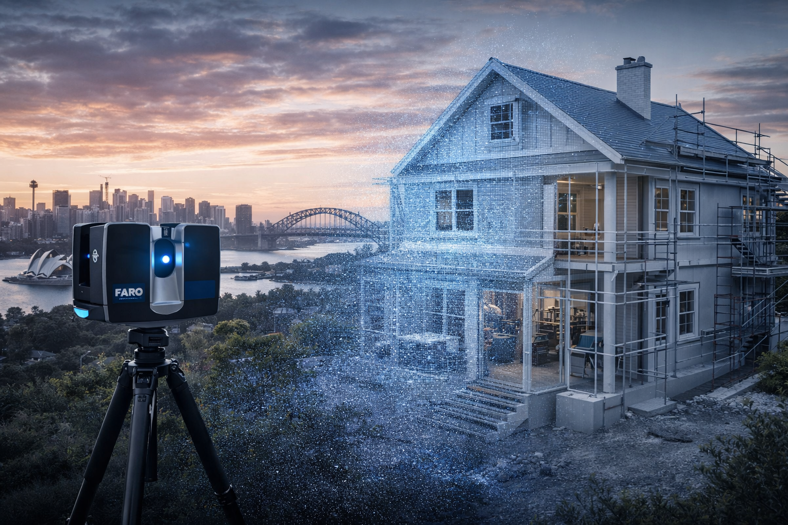
Point cloud to CAD services in Sydney are essential for turning raw scan data into usable engineering deliverables.
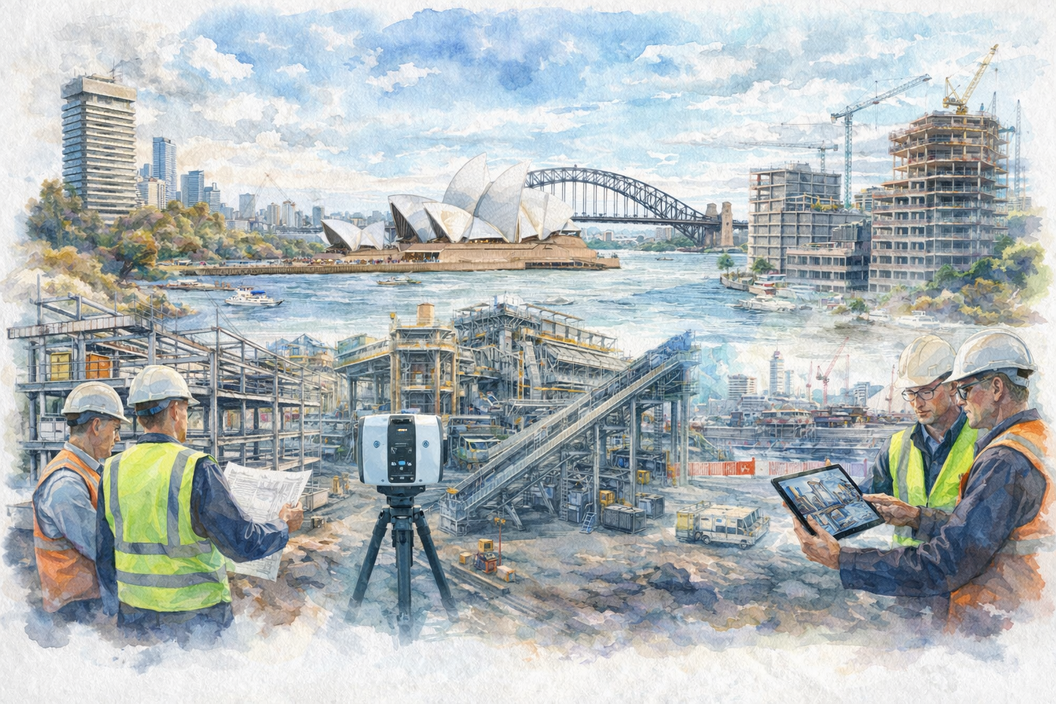
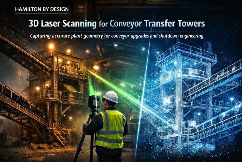
At Hamilton By Design, we convert 3D laser scans and LiDAR data into accurate AutoCAD and 3D models, enabling engineering design, plant upgrades, and construction planning.
If you already have scan data — or need scanning completed — we provide a complete workflow from site capture through to fabrication-ready models.
👉 Learn more about our scanning services here:
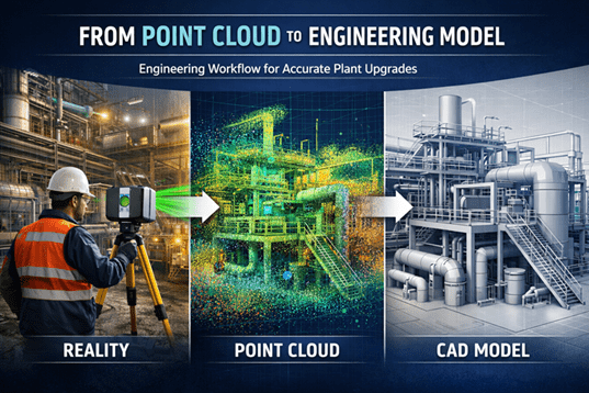
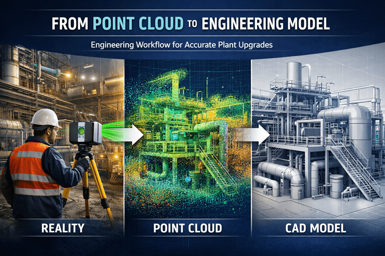
What is Point Cloud to CAD?
Point cloud to CAD is the process of converting laser scan data into structured, accurate engineering drawings and 3D models.
This includes:
- 2D AutoCAD drawings (plans, sections, elevations)
- 3D CAD models
- BIM-ready models
- As-built documentation
The result is a model that engineers, designers and fabricators can use with confidence.
Our Point Cloud to CAD Services in Sydney
We deliver modelling services across a wide range of applications:
Industrial & Plant Modelling
- Conveyor systems
- Transfer chutes
- Pipework and services
- Structural steel
Construction & Building Modelling
- Existing building layouts
- Fit-out documentation
- Services coordination
Infrastructure Projects
- Bridges and structural elements
- Road and rail interfaces
- Asset capture and upgrades
Our focus is not just on modelling — but on delivering engineering-ready outputs.
From Scan Data to Engineering Deliverables
Our workflow ensures accuracy at every stage:
- Point Cloud Import & Registration
Clean, verified scan data aligned to project coordinates - Model Development
Accurate modelling in AutoCAD or 3D platforms - Detailing & Verification
Ensuring geometry matches real-world conditions - Deliverables Issued
Drawings and models ready for design, fabrication or construction
Why Accurate Modelling Matters
Poor modelling from point cloud data can lead to:
- Misalignment during installation
- Fabrication errors
- Costly rework
- Project delays
Our engineering-led approach ensures models are:
- Fit-for-purpose
- Accurate to required tolerances
- Suitable for real-world application
Deliverables We Provide
Depending on your project requirements, we can deliver:
- 2D AutoCAD drawings
- 3D CAD models
- Structural steel models
- Plant layouts and equipment models
- As-built documentation
- BIM-compatible outputs
We tailor deliverables to suit your engineering and project needs.
Applications Across Sydney Projects
Point cloud to CAD is widely used in:
- Industrial plant upgrades
- Structural steel design and verification
- Construction planning and coordination
- Refurbishments and fit-outs
- Infrastructure projects
For complex environments, accurate modelling reduces risk and improves project outcomes.
Why Choose Hamilton By Design
We are not just modellers — we are engineers.
✔ Engineering-led modelling approach
✔ Experience in industrial and construction environments
✔ Focus on accuracy and real-world application
✔ Understanding of fabrication and installation requirements
We deliver models that work in the field — not just on screen.
Point Cloud to CAD Sydney — Get Started
If you have scan data and need accurate models — or require a full scan-to-model service — we can help.
👉 Contact Hamilton By Design to discuss your project and modelling requirements.
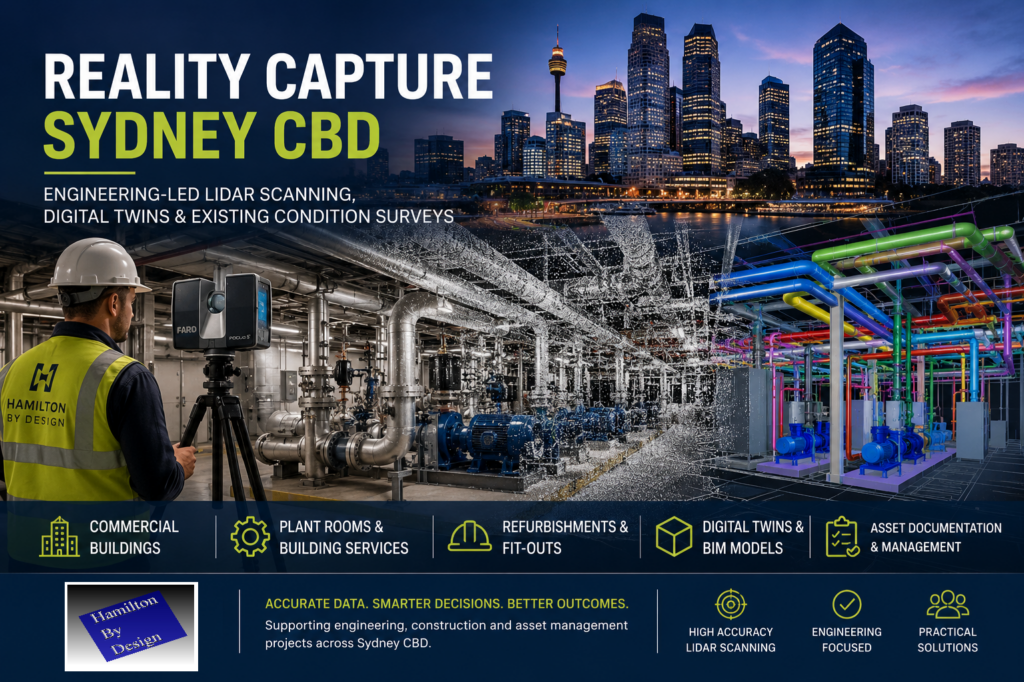
Or learn more about how we capture data through
Reality Capture Sydney:


Mechanical Engineering | Structural Engineering
Our clients


Related Sydney Services
Hamilton By Design provides engineering-led 3D scanning, LiDAR scanning, mechanical engineering and digital engineering services throughout Sydney and Greater Sydney.
Explore our related Sydney services:
- 3D Scanning Sydney – Engineering-grade terrestrial laser scanning, as-built surveys and point cloud capture for industrial, infrastructure and commercial projects.
- Reality Capture Sydney – High-accuracy reality capture, digital twins, asset documentation and engineering-grade site verification.
- Scan to CAD Sydney – Convert point cloud data into AutoCAD, SolidWorks, Inventor and other engineering-ready CAD deliverables.
- Point Cloud Modelling Sydney – Engineering-grade point cloud processing, clash detection, as-built verification and 3D modelling.
- Mechanical Engineering Sydney – Mechanical design, plant upgrades, materials handling systems, conveyors, chutes, platforms and engineering support.
- Structural Drafting Sydney – Structural steel drafting, fabrication drawings, GA drawings, workshop detailing and as-built documentation.
Hamilton By Design supports projects throughout Sydney CBD, Parramatta, Liverpool, Penrith, Blacktown, Chatswood, Alexandria, Mascot, Newcastle and the Central Coast.