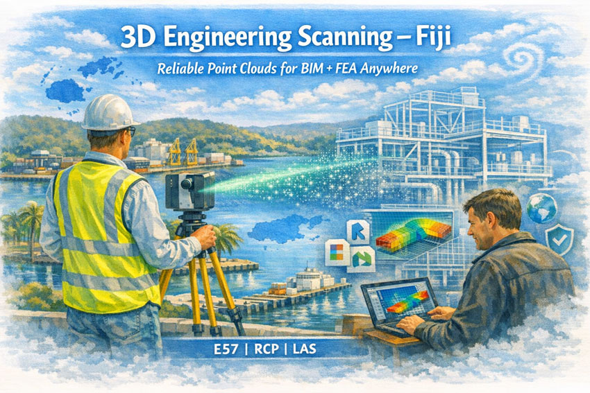
3D Engineering Scanning Fiji – Point Clouds for Design & FEA | Hamilton By Design
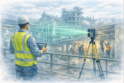
Hamilton By Design provides professional 3D laser scanning services across Fiji, delivering high-accuracy point clouds that allow designers, engineers, and asset owners anywhere in the world to work with real, measured data—without stepping foot on site.
Our focus is simple:
capture the truth of your asset once, and let every engineering discipline design from the same digital backbone.
Engineering-Grade Data You Can Design From
In Fiji, many industrial, marine, and commercial assets have:
- incomplete or outdated drawings
- decades of informal modifications
- mixed construction standards
- corrosion and cyclone damage history
Traditional measurement methods struggle in this environment. Our 3D scanning service produces a survey-accurate digital replica that can be used for:
- 3D modelling in Revit, Plant3D, Tekla, SolidWorks
- structural analysis and FEA studies
- clash detection for new equipment
- fabrication of steel and pipework
- condition assessments and deformation checks
We deliver neutral, open formats so your team—anywhere in Australia, New Zealand, Fiji, or globally—can immediately begin engineering work.
What We Deliver
Core Outputs
- Registered point clouds (E57 / RCP / LAS)
- Colourised, engineering-accurate datasets
- Site coordinate systems or project datum
- Mesh models for Navisworks / visualisation
- 2D plans, elevations, and sections
Optional Engineering Deliverables
- Scan-to-BIM models (LOD 200–350)
- Steel and pipe geometry extraction
- Tie-in coordinates for brownfields projects
- Deformation and roundness reports
- Clash and constructability reviews
Every dataset is processed in Australia under formal QA procedures so it can be relied upon for detailed design, certification, and FEA modelling.
Designed for Fiji Conditions
Scanning in Fiji requires more than equipment—it requires experience in Pacific environments.
We plan projects around:
- tropical heat and humidity
- sudden rain events
- reflective stainless and bright sunlight
- inter-island logistics
- remote power and access constraints
- cyclone season scheduling
Our workflows are built so field capture is efficient and robust, while processing and modelling are completed by our Australian engineering team.
Industries We Support in Fiji
- Ports and wharves – Suva, Lautoka, Levuka
- Power generation and utilities
- Sugar and food processing plants
- Water and wastewater infrastructure
- Resorts and commercial buildings
- Bridges and civil structures
- Post-cyclone assessments
- Mining and materials handling
A Digital Backbone for Global Teams
A quality scan is the backbone of every downstream task.
If the backbone is wrong, every model, drawing, and FEA result is compromised.
Our aim is to give your project a foundation that:
- removes re-measure risk
- allows off-site fabrication
- supports remote engineering teams
- shortens shutdowns
- improves safety and constructability
Designers and engineers in any location can open our data and begin work immediately—confident it represents the real world.


Why Choose Hamilton By Design
- Engineer-led scanning team
- Australian processing and QA
- experience in PNG and Pacific brownfields
- deliverables tailored to your software
- practical understanding of fabrication and FEA requirements
We don’t just capture points—we deliver usable engineering information.
Talk to Us About Your Fiji Project
Whether you need a single building, a wharf, or a full processing plant captured, we can mobilise quickly and provide data your global team can trust.
Hamilton By Design
Engineering certainty through 3D scanning.