


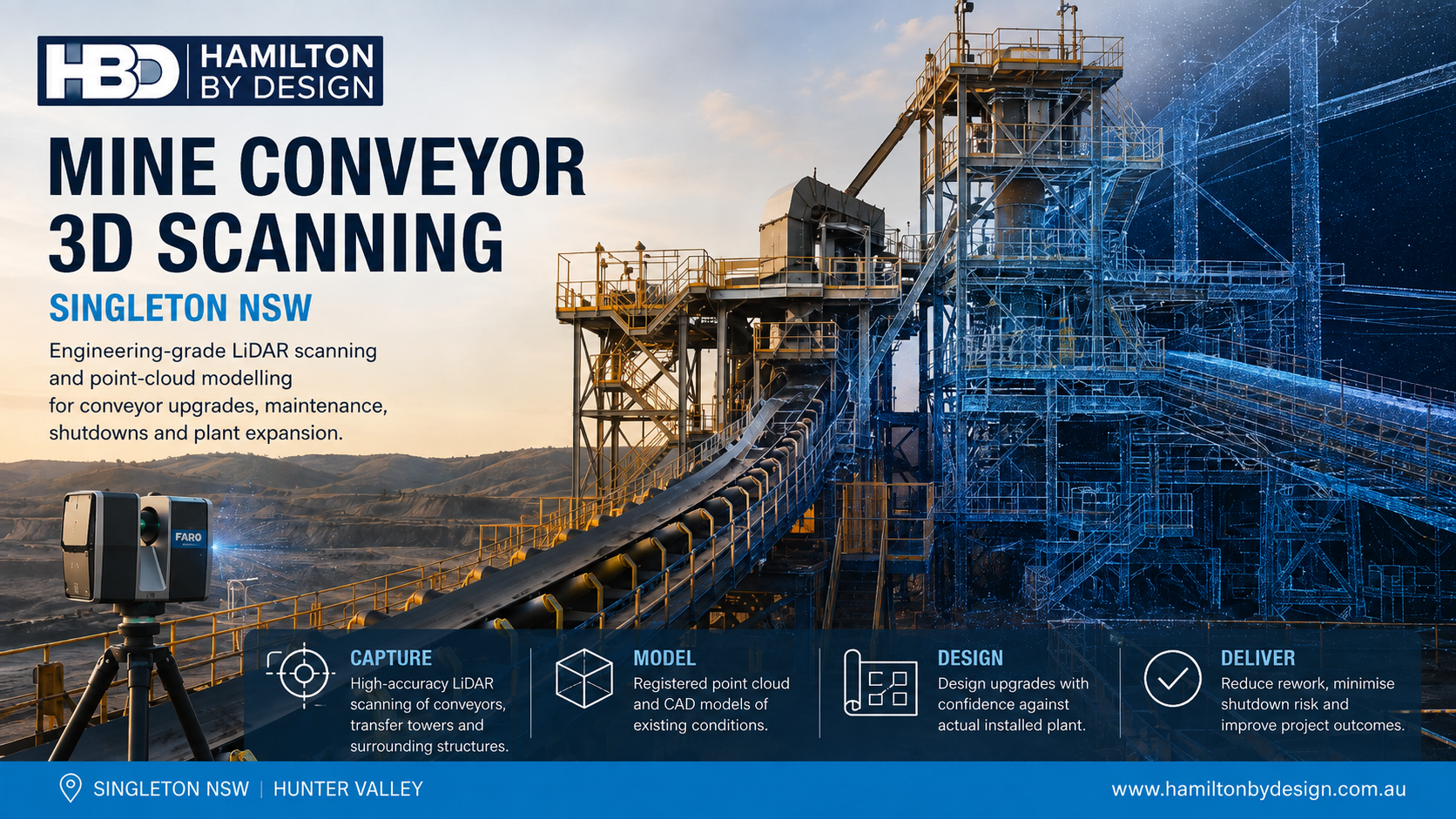
Mine Conveyor 3D Scanning Singleton NSW
Engineering-Grade LiDAR Scanning for Conveyor Upgrades, Maintenance and Plant Expansion
Mine conveyor systems are rarely static assets. Over their operating life, conveyors may be extended, shortened, re-aligned, reinforced or modified to suit changing production requirements. Transfer chutes are replaced, drives are upgraded, supporting structures are altered and access platforms are added around existing plant.
As these modifications accumulate, the physical conveyor system can progressively differ from the original engineering drawings.
This creates a practical problem for project and maintenance teams:
Conveyor upgrades can require repeated field measurements because available drawings do not always represent the installed condition accurately.
Hamilton By Design provides mine conveyor 3D scanning services in Singleton NSW and throughout the Hunter Valley, using engineering-grade terrestrial LiDAR scanning, registered point clouds and CAD modelling to capture existing conveyor systems and surrounding mine infrastructure.
The objective is to reduce repeated site measuring and provide engineers with a measurable digital representation of the actual installed plant before modification work begins.
For broader open-cut mining environments, Hamilton By Design also provides surface mine 3D LiDAR scanning across the Hunter Valley NSW, supporting existing-condition capture of mining, processing and materials-handling infrastructure.
The Problem: Repeated Field Measurements During Conveyor Upgrades
Brownfield conveyor projects frequently begin with incomplete information.
Existing drawings may show the original plant layout, but subsequent modifications may not have been fully incorporated into the available engineering documentation.
Typical discrepancies can include:
- altered chute geometry;
- modified structural steel;
- replacement pulleys;
- relocated equipment;
- additional pipework and services;
- changes to access platforms;
- revised guarding;
- undocumented shutdown modifications; and
- differences between nominal and installed dimensions.
A project engineer may initially visit site to measure a conveyor upgrade area, return to the office and begin modelling, only to discover that another dimension is required.
This can produce an inefficient cycle:
Measure → design → identify missing information → return to site → remeasure → revise design.
Engineering-grade LiDAR scanning changes this process by capturing the wider plant environment rather than relying solely on isolated manual measurements.
The resulting registered point cloud allows additional measurements to be obtained digitally as the design develops.
A simple way to express the value is:
Capture once on site. Measure repeatedly from the point cloud.
What Mine Conveyor Infrastructure Can Be Scanned?
A conveyor scanning project can include much more than the belt itself.
Depending on the scope, terrestrial LiDAR can capture:
- conveyor gantries;
- stringers;
- head pulleys;
- tail pulleys;
- take-up systems;
- drive stations;
- transfer towers;
- chutes;
- hoppers;
- feeders;
- idler arrangements;
- structural steel;
- walkways;
- platforms;
- stairs;
- guards;
- pipework;
- cable trays;
- concrete structures; and
- adjacent equipment.
This wider capture is important because conveyor modification projects depend on the spatial relationship between multiple assets.
For example, a replacement chute must fit between the conveyor discharge point, receiving equipment, supporting steel and surrounding maintenance access.
The engineering problem is therefore not simply measuring one component.
It is understanding the complete installed environment around the component being modified.
Who Can Benefit from Mine Conveyor 3D Scanning?
Mine conveyor 3D scanning can assist:
- mine owners and operators;
- engineering managers;
- project engineers;
- mechanical engineers;
- maintenance superintendents;
- reliability teams;
- shutdown planners;
- CHPP engineers;
- conveyor maintenance contractors;
- EPCM organisations;
- structural engineers;
- fabricators; and
- drafting teams.
For companies working across NSW coal operations, Hamilton By Design’s wider mining engineering and 3D scanning services in NSW can support projects beyond individual conveyor systems, including processing plant, structural and mechanical infrastructure.
The common requirement is reliable information about the existing plant before engineering decisions are made.
From Conveyor to Registered Point Cloud
1. Define the Engineering Requirement
Before scanning begins, the project team should establish the intended modification.
This may include:
- chute replacement;
- conveyor extension;
- drive upgrade;
- pulley replacement;
- conveyor re-alignment;
- transfer-station modification;
- structural strengthening;
- walkway modification; or
- installation of new conveyor equipment.
Understanding the engineering requirement determines the scan coverage and level of detail required.
2. Capture the Existing Conveyor System
Terrestrial LiDAR scanners are positioned around the conveyor and surrounding infrastructure.
Each scan records a large number of three-dimensional spatial measurements.
Multiple scan positions allow equipment to be captured from different viewpoints and reduce areas hidden by surrounding structures.
This approach is particularly useful in complex brownfield environments where manual measurement would require numerous individual dimensions.
3. Register the Scan Data
Individual scans are processed and combined into a coordinated point-cloud dataset.
The resulting point cloud becomes a measurable record of the plant condition at the time of scanning.
Engineering personnel can then interrogate the dataset away from site and obtain additional dimensions as required.
This is particularly valuable where physical access is limited or where repeated measuring trips would interrupt engineering progress.
From Point Cloud to Engineering CAD
The point cloud may be sufficient for some projects, but other conveyor upgrades require selected infrastructure to be converted into CAD geometry.
Hamilton By Design provides surface mine Scan-to-CAD services throughout the Hunter Valley NSW to convert captured existing conditions into practical engineering models for brownfield design and plant modification.
Depending on the project, CAD geometry may include:
- conveyor centreline;
- pulley centres;
- belt path;
- structural steel;
- chute geometry;
- equipment interfaces;
- support frames;
- floor levels;
- access structures; and
- surrounding plant envelopes.
The objective is not to model every visible component unnecessarily.
Instead, the digital model should contain the information required to solve the engineering problem.
Designing Conveyor Upgrades Against Existing Conditions
Once the conveyor environment has been captured, proposed equipment can be developed directly against the existing point-cloud or CAD geometry.
This can support:
- clearance assessment;
- clash detection;
- structural interfaces;
- installation planning;
- equipment positioning;
- maintenance access;
- conveyor alignment;
- chute fit-up;
- fabrication interfaces; and
- shutdown preparation.
This allows potential problems to be identified before fabrication.
A strong engineering objective is therefore:
Find the interference digitally before finding it during installation.
This becomes increasingly important during mine shutdowns where installation windows may be short and delays can affect plant availability.
Conveyor and CHPP Projects in Singleton NSW
Singleton is located within one of Australia’s most significant coal-mining regions, with extensive materials-handling and coal-processing infrastructure throughout the surrounding Hunter Valley.
Conveyors form critical connections between mining, ROM handling, crushing, stockpiling and coal preparation systems.
Hamilton By Design’s CHPP 3D scanning services in Singleton NSW provide a closely related application where conveyor systems, transfer stations, chutes, structural steel and surrounding processing infrastructure can be captured to support shutdowns and brownfield modifications.
This makes conveyor scanning particularly relevant for:
- CHPP upgrades;
- transfer-station modifications;
- new chute installations;
- conveyor extensions;
- structural changes;
- equipment replacement; and
- plant-expansion projects.
Reverse Engineering Existing Conveyor and Mining Equipment
Mining operations can also contain equipment for which reliable manufacturing information is no longer available.
Components may have been modified during previous shutdowns, suppliers may no longer support older equipment, or drawings may not reflect current configurations.
In these cases, reality capture can provide the starting geometry for reverse engineering.
Hamilton By Design’s open-cut mine machinery reverse-engineering services in Muswellbrook NSW demonstrate how LiDAR and engineering modelling can support legacy mining equipment and replacement-component development.
For conveyor projects, this approach may be useful for:
- guards;
- frames;
- supports;
- chute components;
- equipment interfaces;
- access structures; and
- other existing mechanical assemblies.
The objective is not necessarily to copy an existing component exactly. Captured geometry can also provide the basis for a modified or improved replacement.
Practical Tools for Conveyor 3D Scanning
A mine conveyor 3D scanning project may involve several complementary technologies.
FARO Focus S70
Terrestrial LiDAR scanning can provide dense spatial capture of conveyor systems, transfer stations and surrounding infrastructure.
FARO Orbis
Mobile scanning may provide supplementary capture where rapid coverage is beneficial and appropriate to the engineering requirement.
FARO SCENE
Scan data can be processed and registered into coordinated point-cloud datasets.
Autodesk ReCap
Point clouds can be prepared for use within CAD and engineering software.
SolidWorks
Mechanical components, chute systems, equipment and fabrication models can be developed from captured geometry.
Autodesk Inventor and AutoCAD
These tools can support plant modelling, layouts, engineering drawings and mechanical design.
Navisworks
Large point clouds and proposed design models can be reviewed together for coordination and clash checking.
Rocky DEM
Where a project involves chute or transfer-point performance, discrete element modelling can assist with analysing material flow, trajectories, wear zones and impact behaviour.
Rocky DEM is not required for every conveyor project, but it can become valuable when the engineering problem extends beyond dimensional fit-up into bulk-material behaviour.
Typical Deliverables
Depending on the scope, mine conveyor scanning deliverables may include:
- registered E57 point clouds;
- RCP and RCS datasets;
- LAS files;
- measurable point-cloud datasets;
- existing-condition CAD models;
- SolidWorks models;
- STEP files;
- Parasolid files;
- DWG and DXF drawings;
- general arrangement drawings;
- sections and elevations;
- existing-versus-proposed models;
- clash-review models;
- eDrawings; and
- PDF engineering documentation.
Some projects may require only a registered point cloud.
Others may extend through:
Scan → Register → Model → Engineer → Draw → Fabricate.
Mine Conveyor 3D Scanning Singleton NSW
For conveyor upgrades, one of the greatest sources of engineering uncertainty is incomplete knowledge of the existing plant.
Repeated site visits may provide additional dimensions, but they can also interrupt design progress, increase travel requirements and still leave important spatial relationships undocumented.
Engineering-grade terrestrial LiDAR provides an alternative approach.
By capturing the conveyor and surrounding infrastructure as a registered point cloud, project teams can obtain a reusable digital record of the installed condition.
This information can then support CAD modelling, brownfield engineering, fabrication planning, shutdown preparation and future plant modifications.
For mine operators and contractors working throughout Singleton and the Hunter Valley NSW, the principle is straightforward:
Capture the conveyor once. Measure digitally as the engineering develops. Design against what is actually installed.

Contact Us – Talk To Us
Our clients:
























