Mechanical Engineering | 3D Scanning | 3D Modelling
Tag: LiDAR
Posts covering engineering-grade LiDAR scanning and point cloud workflows used to capture accurate site conditions for design, retrofit and fabrication in industrial and infrastructure environments.
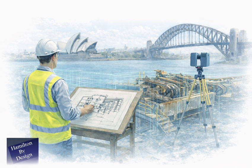
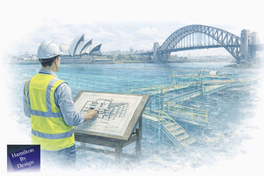
Engineering-Led 3D Laser Scanning Services in Sydney
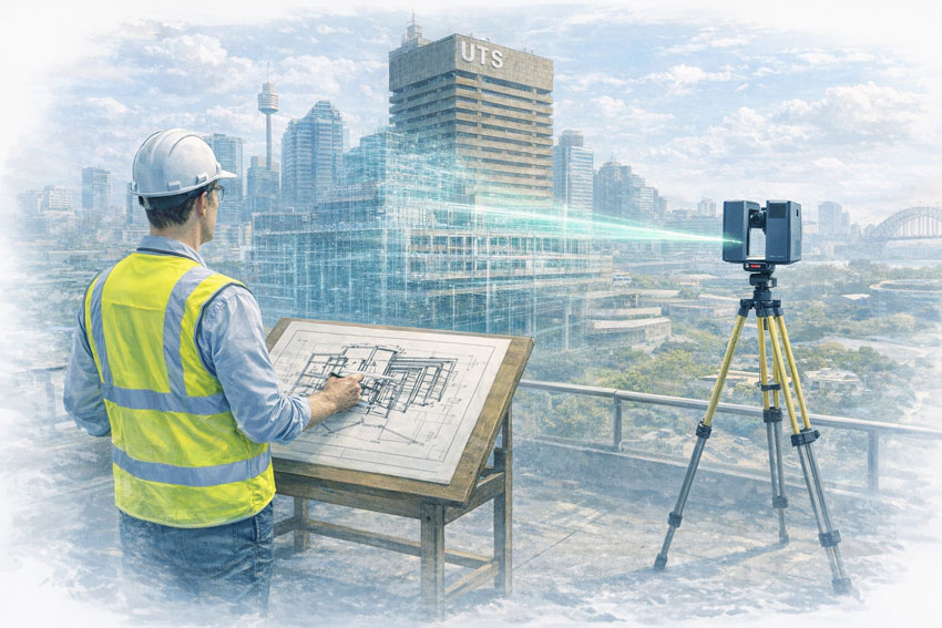
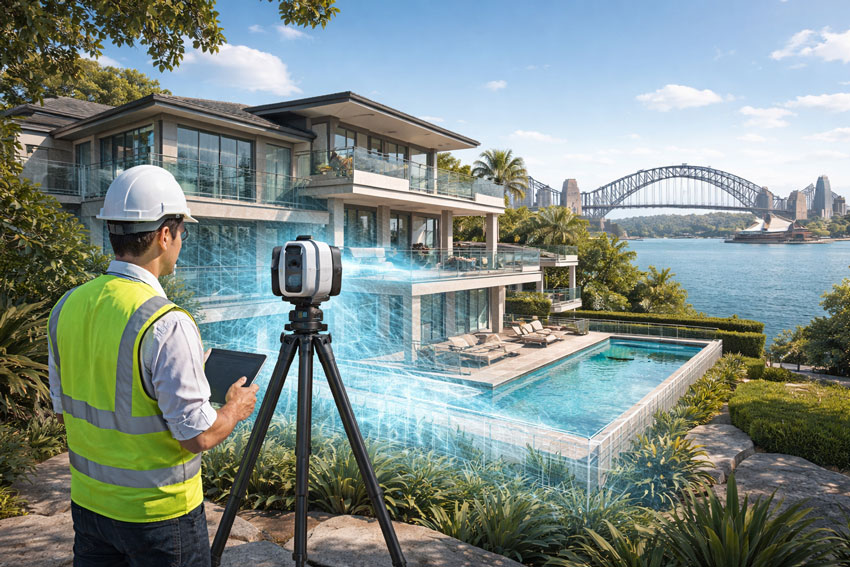
3D scanning in Sydney is no longer just about capturing point clouds — it’s about delivering engineering-grade data that can be trusted for design, verification, fabrication, and construction.
At Hamilton By Design, we provide engineer-led 3D laser scanning and reality capture services across Sydney and NSW, supporting projects where accuracy, accountability, and buildability matter.
Our workflows combine LiDAR scanning, CAD modelling, and engineering judgement, ensuring scan data is not only precise — but fit-for-purpose.
Why Engineering-Grade 3D Scanning Matters
Not all 3D scanning is equal. Many projects fail not because scanning was done — but because it was done without engineering context.
We routinely see issues such as:
Scan data captured without understanding fabrication tolerances
Models built directly from point clouds without verification
Shutdown or site work impacted by poor fit-up
Drawings that look accurate but fail on site
Our approach closes that gap by ensuring scanning is owned by the engineer, not handed off without accountability.
Our 3D Scanning Capabilities in Sydney
We support a wide range of Sydney projects, including:
Hamilton By Design provides engineering-led 3D scanning, LiDAR scanning, mechanical engineering and digital engineering services throughout Sydney and Greater Sydney.
Explore our related Sydney services:
3D Scanning Sydney – Engineering-grade terrestrial laser scanning, as-built surveys and point cloud capture for industrial, infrastructure and commercial projects.
Reality Capture Sydney – High-accuracy reality capture, digital twins, asset documentation and engineering-grade site verification.
Scan to CAD Sydney – Convert point cloud data into AutoCAD, SolidWorks, Inventor and other engineering-ready CAD deliverables.
Point Cloud Modelling Sydney– Engineering-grade point cloud processing, clash detection, as-built verification and 3D modelling.
Mechanical Engineering Sydney – Mechanical design, plant upgrades, materials handling systems, conveyors, chutes, platforms and engineering support.
Structural Drafting Sydney– Structural steel drafting, fabrication drawings, GA drawings, workshop detailing and as-built documentation.
Hamilton By Design supports projects throughout Sydney CBD, Parramatta, Liverpool, Penrith, Blacktown, Chatswood, Alexandria, Mascot, Newcastle and the Central Coast.
Work With an Engineer-Led 3D Scanning Partner
Hamilton By Design doesn’t just capture reality — we take responsibility for it.
If you need defensible, engineering-grade 3D scanning in Sydney, backed by CAD modelling and real-world fabrication experience, we can help.
Connect with us by filling out the form below to discuss your 3D scanning requirements in Sydney.
One Accountable Engineer from Scan to Fabrication — Supporting NSW & Remote Sites
At Hamilton By Design, we provide reverse engineering supported by engineering-grade 3D LiDAR scanning from our Sydney engineering hub, helping maintenance teams, project engineers, and manufacturers replace, reproduce, or validate critical components when drawings are missing, obsolete, or no longer reflect reality.
We specialise in like-for-like replacement and fit-for-purpose engineering, particularly for CHPP plants, conveyors, and brownfield industrial assets, where shutdown time is limited and poor fit-up is not an option.
Reverse Engineering Built on Real Site Data
Reverse engineering only works when it is based on accurate, defensible data.
We use engineering-grade LiDAR 3D scanning as the foundation for reverse engineering—capturing real geometry from worn, modified, or undocumented assets and converting that data into engineered models and drawings suitable for fabrication and installation.
This removes reliance on:
Missing or outdated drawings
OEM data that no longer reflects site reality
Assumptions made during manual measurement
“Best guess” modelling during shutdowns
Managing Director Insight
“Reverse engineering isn’t about copying what you see — it’s about understanding how an asset actually works, how it’s worn, and how it needs to fit during a shutdown. We use 3D scanning to capture reality, but it’s engineering judgement that turns that data into something that can be fabricated and installed with confidence.”
— Anthony Hamilton, Managing Director, Hamilton By Design
What We Reverse Engineer
From our Sydney engineering base, we support NSW and remote operations with reverse engineering of:
Conveyor components (pulleys, frames, guards, transfer assemblies)
Worn or damaged components requiring like-for-like replacement
Obsolete or unsupported OEM parts
Structural steel components and assemblies
Machined components and housings
These are typically assets that cannot be easily re-measured, are already worn or distorted, or must be replaced accurately within tight shutdown windows.
Engineering-Grade Accuracy for Shutdown-Critical Fit-Up
Our reverse engineering approach is designed for shutdown-critical fit-up, not visual modelling.
We emphasise:
Engineering-grade LiDAR suitable for fit-for-purpose replacement parts
Accuracy verified through engineering judgement, not just point clouds
Manual verification of critical interfaces where required
Deliverables suitable for fabrication and installation
Our work is engineering-grade and defensible—not survey-grade, but appropriate for mechanical and structural replacement in operating plant environments.
Reverse Engineering as an Engineering Process
We treat reverse engineering as a full engineering process, with 3D scanning as one input—not the answer by itself.
Our typical workflow includes:
3D LiDAR scanning → point-cloud review → engineered 3D modelling → design intent definition → drawings and fabrication documentation
Where required, this process may also include:
Mechanical or structural checks
Fit-for-purpose assessment
Review of wear patterns and failure modes
This ensures replacement components are designed to work, not simply copied.
We work collaboratively with your teams and fabricators, focusing on getting it right the first time.
Talk to Us About Reverse Engineering 3D Scanning in Sydney
If you’re dealing with missing drawings, obsolete parts, or shutdown-critical replacements, we’d welcome the opportunity to help.
Submit an enquiry via our contact form
Related Sydney Services
Hamilton By Design provides engineering-led 3D scanning, LiDAR scanning, mechanical engineering and digital engineering services throughout Sydney and Greater Sydney.
Explore our related Sydney services:
3D Scanning Sydney – Engineering-grade terrestrial laser scanning, as-built surveys and point cloud capture for industrial, infrastructure and commercial projects.
Reality Capture Sydney – High-accuracy reality capture, digital twins, asset documentation and engineering-grade site verification.
Scan to CAD Sydney – Convert point cloud data into AutoCAD, SolidWorks, Inventor and other engineering-ready CAD deliverables.
Point Cloud Modelling Sydney– Engineering-grade point cloud processing, clash detection, as-built verification and 3D modelling.
Mechanical Engineering Sydney – Mechanical design, plant upgrades, materials handling systems, conveyors, chutes, platforms and engineering support.
Structural Drafting Sydney– Structural steel drafting, fabrication drawings, GA drawings, workshop detailing and as-built documentation.
Hamilton By Design supports projects throughout Sydney CBD, Parramatta, Liverpool, Penrith, Blacktown, Chatswood, Alexandria, Mascot, Newcastle and the Central Coast.
3D Scanning for Structural Drafting Darwin | Engineer-Led
Accurate As-Built Data for Structural Drafting in the Northern Territory — No Guesswork
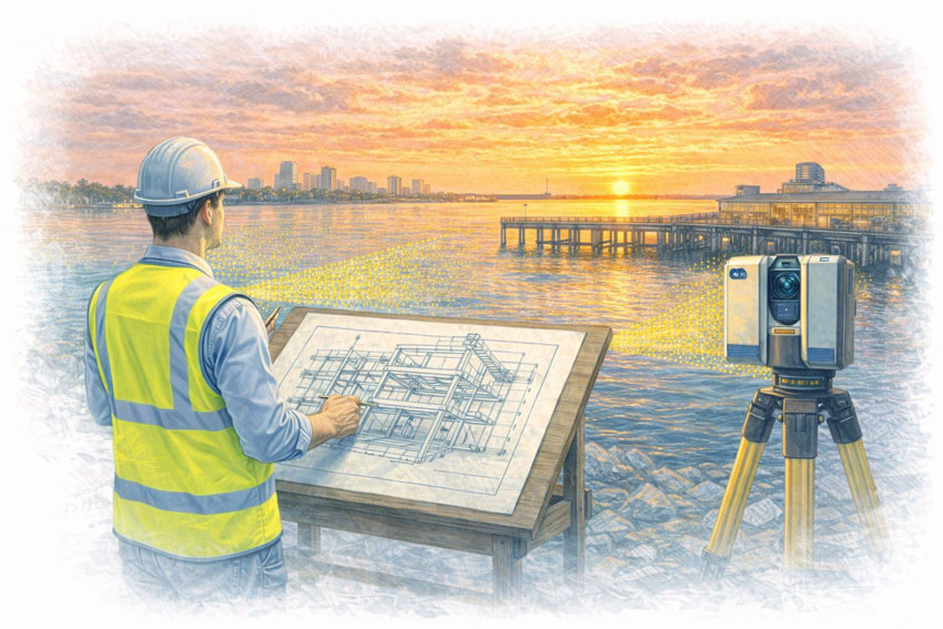
At Hamilton By Design, we provide 3D LiDAR scanning for structural drafting in Darwin and across the Northern Territory, supporting projects in construction, ports, defence, energy, mining, and government infrastructure.
In Darwin and remote NT environments, inaccurate or missing as-built documentation creates significant risk—particularly where access is limited, shutdown windows are short, and compliance requirements are high. Our approach removes uncertainty by capturing real site conditions and converting them into engineering-ready structural drafting.
Why 3D Scanning Matters for Structural Drafting in Darwin
Projects in Darwin and the NT often involve:
Remote or regionally supported assets
Live operational facilities with limited access
Defence, port, and government infrastructure
Harsh environmental conditions
Tight construction and maintenance schedules
High compliance and audit requirements
Relying on manual measurements or legacy drawings introduces risk. Engineering-grade 3D scanning provides a reliable foundation for structural drafting, ensuring new works integrate accurately with existing structures.
3D Scanning as the Foundation for Structural Drafting
We use 3D scanning as a data capture tool that enables better structural drafting.
Our integrated workflow includes:
3D LiDAR scanning → 3D modelling → structural engineering → FEA (where required) → structural drafting
This ensures:
Structural drawings are based on verified site geometry
Clash risk for fabricated steel is reduced
Engineering decisions are supported by accurate data
Drafting reflects constructability and installation reality
One Accountable Engineering Partner
Rather than separating scanning, modelling, and drafting across multiple vendors, we deliver the complete service:
3D LiDAR scanning in Darwin and regional NT
3D as-built model development
Structural engineering input
Finite Element Analysis (FEA), where required
Structural drafting and fabrication documentation
One contact. One accountable team. One integrated workflow.
This approach is particularly valuable for remote and regionally supported projects where coordination and communication are critical.
Supporting Darwin, Regional NT & Remote Sites
We support projects across:
Darwin and surrounding industrial areas
Ports and marine infrastructure
Defence facilities and government assets
Energy and utilities infrastructure
Remote and regionally supported NT sites
Operating in these environments requires careful planning, accurate data capture, and documentation that can be relied upon without repeated site visits.
All structural drafting is developed in accordance with:
The National Construction Code (NCC)
Relevant Australian Standards
Client-specific, defence, and government requirements
Our deliverables provide defensible, data-backed documentation suitable for engineering review, fabrication, and construction in regulated environments.
Designed for Engineers, Contractors & Asset Owners
This service is suited to:
Project engineers managing Darwin and NT works
Contractors and fabricators requiring accurate drawings
Consulting engineers supporting upgrades
Government and defence asset owners
Organisations operating remote or hard-to-access sites
We work collaboratively with existing project teams, fitting into established delivery models rather than forcing new ones.
Talk to Us About 3D Scanning for Structural Drafting in Darwin
If you’re working on a Darwin-based or NT project and need accurate as-built data to support structural drafting, we’d welcome the opportunity to help.
3D Scanning for Structural Drafting Perth | Engineer-Led
Accurate As-Built Data for WA Mining, Ports & Industrial Assets — No Guesswork
At Hamilton By Design, we provide 3D LiDAR scanning for structural drafting from our Perth engineering hub, supporting projects across Western Australia including remote mining sites, ports, oil & gas facilities, and brownfield industrial assets.
In WA environments, compliance risk, access constraints, and long shutdown windows mean there is little tolerance for error. Inaccurate or assumed as-built information often leads to fabrication clashes, rework, and costly delays. Our approach removes that risk by capturing real site conditions and converting them into engineering-ready structural drafting.
Why 3D Scanning Matters for Structural Drafting in Western Australia
WA projects are often characterised by:
Remote sites supported from Perth engineering offices
Complex brownfield assets with limited documentation
Long shutdown windows and restricted site access
Coordination challenges between site teams, Perth engineers, and fabricators
High compliance requirements for mining, oil & gas, and port infrastructure
Traditional manual measurement and assumed geometry introduce risk. Engineering-grade 3D scanning provides a reliable foundation for structural drafting, particularly where site access is limited and fabrication accuracy is critical.
For WA projects, we deliver 3D scanning and structural drafting as an integrated service.
Our workflow typically includes:
3D LiDAR scanning → 3D modelling → structural engineering → FEA (where required) → structural drafting
This integrated approach ensures:
Structural drawings are based on verified, real-world geometry
Compliance risks are identified early
Fabricated steel fits first time
Engineering and drafting decisions remain aligned
For many WA mining, port, and oil & gas assets, structural drafting without 3D scanning is high-risk. Scanning removes assumptions and provides defensible data for engineering and fabrication.
One Perth Engineering Hub — Supporting WA & Remote Sites
We operate with Perth as our engineering base, supporting:
Pilbara, Goldfields, Mid West, and remote mining regions
Ports, shipyards, and marine infrastructure (including Fremantle)
Oil & gas and energy facilities
Brownfield industrial plants and processing facilities
This model allows accurate site capture combined with centralised engineering, drafting, and coordination from Perth—reducing communication gaps and improving delivery certainty.
Typical WA Applications
Our 3D scanning for structural drafting services support:
Mining infrastructure and remote site upgrades
Port, shipyard, and marine structures
Oil & gas and energy facilities
Brownfield industrial plants
Heavy fabrication and workshop coordination
Government and council infrastructure assets
Each project is approached with a clear understanding of access constraints, shutdown planning, and compliance obligations.
Our clients:
Managing Compliance, Access & Shutdown Risk
We understand that WA projects often carry:
High compliance exposure
Limited access opportunities
Tight shutdown schedules
Significant cost of rework
All structural drafting is developed in accordance with:
The National Construction Code (NCC)
Relevant Australian Standards
Client, asset, and industry-specific engineering requirements
Our deliverables provide defensible, data-backed documentation that supports engineering reviews, fabrication, and installation in high-risk environments.
3D Scanning for Structural Drafting Sydney | Engineer-Led
Accurate As-Built Data for Structural Drafting — No Guesswork
At Hamilton By Design, we provide 3D LiDAR scanning for structural drafting across Sydney, delivering accurate as-built data for project engineers, fabricators, councils, and asset owners working in live and brownfield environments.
In Sydney’s complex construction and infrastructure landscape, inaccurate or missing as-built drawings create risk—risk of clashes, compliance issues, rework, and costly delays. Our approach removes that uncertainty by capturing real site conditions and converting them into engineering-ready structural drafting.
Why 3D Scanning Matters for Structural Drafting in Sydney
Sydney projects often involve:
Existing structures with incomplete documentation
Live sites that can’t be shut down for manual measurement
Tight timeframes and multiple stakeholders
High compliance expectations under the NCC and Australian Standards
Traditional tape-measure surveys and assumptions introduce error. Engineering-grade 3D scanning provides a reliable foundation for structural drafting, ensuring new steel integrates with what’s actually on site—not what drawings suggest might be there.
3D Scanning as the Foundation for Structural Drafting
We treat 3D scanning as a data capture tool that enables better structural drafting.
Our workflow is fully integrated:
3D LiDAR scanning → 3D modelling → structural engineering → FEA (where required) → structural drafting
This ensures:
Structural drawings are based on verified geometry
Clash risk for fabricated steel is significantly reduced
Engineering decisions are supported by real data
Drafting aligns with constructability and installation constraints
One Local Team. One Responsibility.
Unlike standalone scanning providers or fragmented workflows, we deliver the complete service:
3D LiDAR scanning
3D modelling and as-built development
Structural engineering input
Finite Element Analysis (FEA), where required
Structural drafting and fabrication documentation
One contact. One accountable team. One job to do.
This integrated approach improves communication, reduces handover errors, and keeps responsibility clear throughout the project lifecycle.
Sydney-Based, Fast Turnaround
We are local to Sydney and regularly work across:
Greater Sydney and Sydney Metro
Western Sydney, Inner West, and South Sydney industrial areas
Ports, wharves, shipyards, and marine infrastructure
Councils and public assets
Live and brownfield industrial sites
Being Sydney-based allows us to mobilise quickly, respond to site constraints, and support projects with fast turnaround when time matters.
Typical Sydney Applications
Our 3D scanning for structural drafting services support:
Each project is approached with an understanding of live operations, access constraints, and compliance requirements.
Compliance You Can Rely On
All structural drafting is developed in accordance with:
The National Construction Code (NCC)
Relevant Australian Standards
Client and asset-specific engineering requirements
We understand that compliance risk often sits with the project engineer. Our role is to support you with defensible, data-backed documentation that stands up to review.
Designed to Support Project Engineers
This service is built for project engineers who need:
Confidence in existing conditions
Reduced fabrication and installation risk
Clear, accurate structural documentation
A local engineering partner who takes responsibility
We work collaboratively with consultants, fabricators, and construction teams—fitting into your delivery model rather than forcing you into ours.
Talk to Us About 3D Scanning for Structural Drafting in Sydney
If you’re managing a Sydney-based project and need accurate as-built data to support structural drafting, we’d welcome the opportunity to help.
Submit an enquiry via our contact form
Related Sydney Services
Hamilton By Design provides engineering-led 3D scanning, LiDAR scanning, mechanical engineering and digital engineering services throughout Sydney and Greater Sydney.
Explore our related Sydney services:
3D Scanning Sydney – Engineering-grade terrestrial laser scanning, as-built surveys and point cloud capture for industrial, infrastructure and commercial projects.
Reality Capture Sydney – High-accuracy reality capture, digital twins, asset documentation and engineering-grade site verification.
Scan to CAD Sydney – Convert point cloud data into AutoCAD, SolidWorks, Inventor and other engineering-ready CAD deliverables.
Point Cloud Modelling Sydney– Engineering-grade point cloud processing, clash detection, as-built verification and 3D modelling.
Mechanical Engineering Sydney – Mechanical design, plant upgrades, materials handling systems, conveyors, chutes, platforms and engineering support.
Structural Drafting Sydney– Structural steel drafting, fabrication drawings, GA drawings, workshop detailing and as-built documentation.
Hamilton By Design supports projects throughout Sydney CBD, Parramatta, Liverpool, Penrith, Blacktown, Chatswood, Alexandria, Mascot, Newcastle and the Central Coast.
Reality Capture Sydney | Property & Real Estate Services
Engineering-Grade LiDAR & Digital Reality Capture for the Built Environment
As Sydney’s construction, infrastructure, and industrial assets become more complex, traditional measurement methods are no longer sufficient. Reality capture has become a critical enabler for accurate planning, risk reduction, and confident project delivery across the built environment in Sydney.
Hamilton By Design provides engineering-grade reality capture services in Sydney, combining high-accuracy LiDAR laser scanning with practical engineering workflows to deliver reliable as-built data, digital twins, and construction-ready models.
Digital Twin Development
Reality capture is often the first step in creating a digital twin of an existing asset, facility or infrastructure network.
Using engineering-grade terrestrial LiDAR scanning, Hamilton By Design captures highly detailed existing-condition data that can be used to develop accurate digital representations of buildings, industrial facilities and infrastructure assets throughout Sydney.
Digital twins provide a valuable foundation for planning upgrades, maintenance activities, asset management programs and future engineering projects by ensuring decision-makers have access to accurate and current information.
Asset Documentation & Existing Conditions
Many facilities operate with incomplete, outdated or missing drawings. Reality capture provides a reliable method of documenting existing conditions and creating an accurate record of an asset at a specific point in time.
Hamilton By Design supports asset owners, engineers and project teams by delivering comprehensive documentation of industrial facilities, manufacturing plants, infrastructure assets and commercial buildings throughout Sydney.
This information can be used for engineering design, maintenance planning, compliance assessments and future capital works projects.
Heritage & Existing Condition Surveys
Reality capture technology provides a non-invasive method of documenting heritage structures, existing buildings and architecturally significant assets.
High-density LiDAR scanning can capture detailed geometric information without disturbing the asset, creating an accurate digital record suitable for preservation, restoration and future reference.
This approach is particularly valuable where traditional measurement methods are impractical or where maintaining a permanent digital archive is important.
Infrastructure Corridor Capture
Reality capture is widely used to document transport corridors, utility networks and linear infrastructure projects.
Hamilton By Design can capture roads, rail corridors, processing facilities, pipelines and utility infrastructure to provide accurate spatial information for planning, design and asset management purposes.
The resulting datasets assist engineering teams in identifying constraints, verifying existing conditions and reducing uncertainty during project development.
Construction Verification & Progress Monitoring
Reality capture can be used throughout construction projects to verify installed works and monitor project progress.
By comparing captured data against design models, project teams can identify deviations, verify installation accuracy and document construction milestones.
This process helps reduce rework, improve project certainty and provide objective records of completed work.
Building Envelope Surveys
Reality capture provides an efficient method of documenting building facades, roof structures and external architectural features.
The resulting data can be used for refurbishment projects, façade upgrades, structural assessments and redevelopment planning.
Building envelope surveys provide accurate measurements and spatial information without requiring extensive manual site measurement activities.
Facility Management & Asset Registers
Reality capture data can support facility management programs by providing accurate information about buildings, equipment and infrastructure assets.
Digital asset records allow facility owners to improve maintenance planning, track asset changes and maintain up-to-date documentation throughout the asset lifecycle.
For many organisations, reality capture forms an important component of broader digital engineering and asset management strategies.
What Is Reality Capture?
Reality capture is the process of digitally recording real-world assets using technologies such as:
LiDAR laser scanning
High-resolution spatial data capture
Registered point clouds
3D models aligned to real geometry
The result is an accurate digital representation of existing conditions — enabling engineers, designers, and constructors to work from a single source of truth rather than assumptions or outdated drawings.
Why Reality Capture Matters in Sydney
Sydney projects frequently involve:
Live operational assets
Brownfield construction and upgrades
Tight construction tolerances
Complex interfaces between structural, mechanical, and architectural systems
Reality capture enables project teams to:
✔ Verify existing conditions before design ✔ Reduce rework and construction clashes ✔ Improve coordination across disciplines ✔ Accelerate approvals and decision-making ✔ Improve safety by minimising site re-visits
This is particularly valuable across commercial buildings, transport infrastructure, industrial facilities, utilities, and large refurbishment projects.
Engineering-Led Reality Capture — The Hamilton By Design Difference
At Hamilton By Design, reality capture is not treated as a standalone surveying task. Our services are engineer-led, ensuring the data captured is fit for downstream use in:
Mechanical and structural design
Construction coordination
Retrofit and upgrade works
Fabrication and installation planning
Our Sydney reality capture services integrate directly with CAD, BIM, and engineering documentation workflows — ensuring accountability from scan through to design and delivery.
Typical Reality Capture Applications in Sydney
As-Built Documentation
Capture accurate as-built conditions for compliance, certification, handover, or future upgrades.
Construction & Refurbishment Projects
Scan existing buildings and structures prior to modifications, extensions, or adaptive reuse.
Industrial & Infrastructure Assets
Capture complex geometry such as plant rooms, pipework, platforms, and structural steel.
Digital Twins & Asset Records
Create reliable digital records that support ongoing asset management and lifecycle planning.
Deliverables Tailored to Project Needs
Depending on your scope, Hamilton By Design can provide:
Registered LiDAR point clouds
CAD-ready geometry
BIM-compatible models
Section views and reference drawings
Engineering drawings derived from scan data
All deliverables are issued to suit engineers, builders, asset owners, and project managers working across Sydney.
Reality Capture Applications Across Sydney Industries
Reality capture provides value wherever accurate existing-condition information is required before design, construction or asset management decisions are made.
Commercial Buildings
Reality capture assists building owners, consultants and contractors by documenting existing conditions before refurbishment, fit-outs, services upgrades and redevelopment projects.
Industrial Facilities
Manufacturing plants, processing facilities and operational sites often contain undocumented modifications accumulated over many years. Reality capture provides an accurate digital record that supports future upgrades and maintenance planning.
Transport Infrastructure
Rail facilities, stations, maintenance depots, tunnels and transport corridors can be accurately captured to support planning, coordination and construction activities while minimising disruption to operations.
Utilities & Water Infrastructure
Reality capture supports pump stations, treatment plants, pipelines and utility infrastructure where accurate spatial information is required for maintenance, expansion and compliance projects.
Construction & Refurbishment
Capturing existing site conditions before construction begins reduces uncertainty, improves coordination and helps identify potential clashes before work reaches site.
Asset Management
Reality capture provides a reliable foundation for digital asset registers, facility management programs and long-term lifecycle planning.
Reality Capture Sydney — Build with Confidence
Reality capture removes uncertainty from complex projects. By accurately capturing what exists today, project teams can design, coordinate, and construct with confidence tomorrow.
Hamilton By Design supports Sydney-based projects with engineering-grade reality capture, practical deliverables, and a deep understanding of how digital data is used in real construction and industrial environments.
Industries We Support
Hamilton By Design provides reality capture services throughout Sydney for manufacturing facilities, rail infrastructure, water treatment plants, commercial buildings, hospitals, data centres and industrial facilities.
Using engineering-grade LiDAR scanning and digital reality capture workflows, we help project teams accurately document existing assets, improve project planning and reduce risk during design, construction and asset management activities.
Contact Hamilton By Design to discuss your Sydney reality capture requirements or arrange a site scan.
Related Sydney Reality Capture Services
Hamilton By Design provides specialised reality capture and 3D scanning services across Sydney, including:
3D Scanning Sydney for point clouds, scan-to-CAD and engineering-ready existing-condition data.
By combining reality capture, LiDAR scanning, engineering design and drafting under one team, Hamilton By Design helps Sydney projects move from existing conditions to construction-ready deliverables with confidence.
Hamilton By Design provides reality capture services throughout Sydney CBD, Parramatta, Liverpool, Penrith, Chatswood, Alexandria, Mascot, Newcastle and the Central Coast. Our engineering-led approach helps project teams accurately capture existing conditions, create digital asset records and support design, construction and asset management activities.
To provide the best experiences, we use technologies like cookies to store and/or access device information. Consenting to these technologies will allow us to process data such as browsing behaviour or unique IDs on this site. Not consenting or withdrawing consent, may adversely affect certain features and functions.
Functional
Always active
The technical storage or access is strictly necessary for the legitimate purpose of enabling the use of a specific service explicitly requested by the subscriber or user, or for the sole purpose of carrying out the transmission of a communication over an electronic communications network.
Preferences
The technical storage or access is necessary for the legitimate purpose of storing preferences that are not requested by the subscriber or user.
Statistics
The technical storage or access that is used exclusively for statistical purposes.The technical storage or access that is used exclusively for anonymous statistical purposes. Without a subpoena, voluntary compliance on the part of your Internet Service Provider, or additional records from a third party, information stored or retrieved for this purpose alone cannot usually be used to identify you.
Marketing
The technical storage or access is required to create user profiles to send advertising, or to track the user on a website or across several websites for similar marketing purposes.