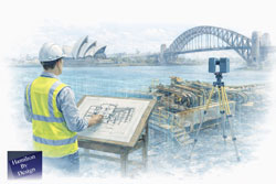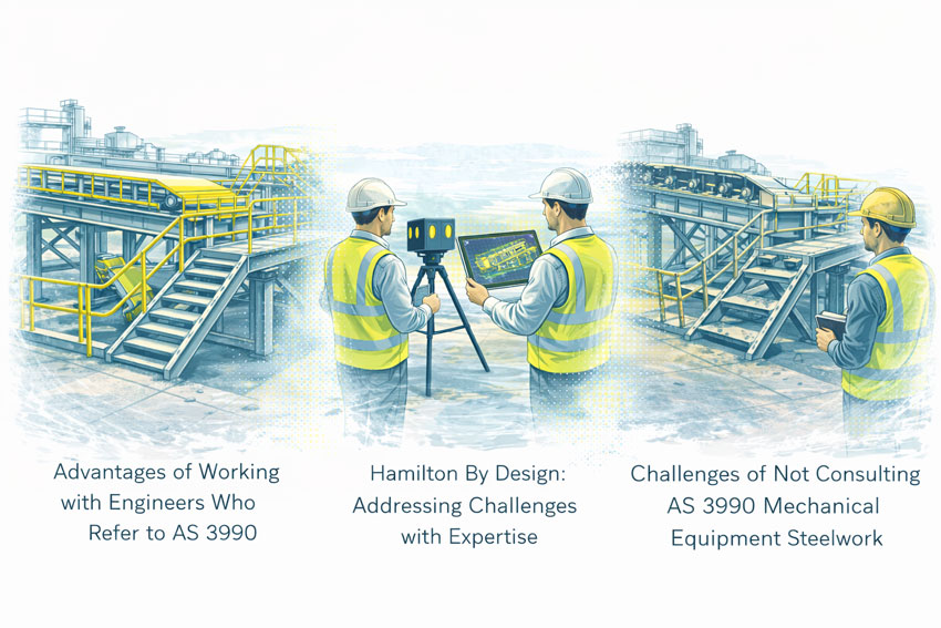
Refineries, Heritage Buildings & Industrial Retrofits Done Right
The Inner West of Sydney is home to some of the city’s most complex refurbishment environments.
From legacy refinery and industrial sites through to heritage-listed warehouses, factories, and commercial buildings, these assets were never designed with modern codes, loading requirements, or services in mind.
Yet today, they’re being asked to support:
- New plant and equipment
- Adaptive re-use and change of occupancy
- Heavier floor loads
- Updated fire, seismic, and structural standards
- Modern services routing in very old structures
This is where many refurbishment projects run into trouble — not because the design is poor, but because the starting information is wrong or incomplete.
The Inner West Problem: Old Buildings, New Standards
Much of the Inner West’s industrial and heritage building stock was constructed:
- Under superseded Australian Standards
- With unknown material properties
- Using construction methods no longer permitted
- With undocumented modifications over decades of use
What often looks acceptable visually may be:
- Structurally marginal under modern load cases
- Locally compromised due to corrosion, settlement, or fatigue
- Modified in ways that no longer match original drawings
When these issues are discovered late in the design process, the outcome is almost always the same:
- Redesign
- Strengthening
- Programme delays
- Budget escalation
Why Waiting Until “Detailed Design” Is Too Late
A common scenario we see in Inner West refurbishments:
- Concept design proceeds based on legacy drawings or assumptions
- Floor layouts, equipment, and architectural intent are developed
- Engineering review begins
- Structural checks identify:
- Inadequate floor capacity
- Unsupported penetrations
- Changed load paths
- Degraded or altered members
- Design is forced to change — often significantly
At this point, the engineer isn’t blocking creativity — they’re responding to reality.
The issue isn’t engineering input.
The issue is when the true condition of the structure becomes visible.
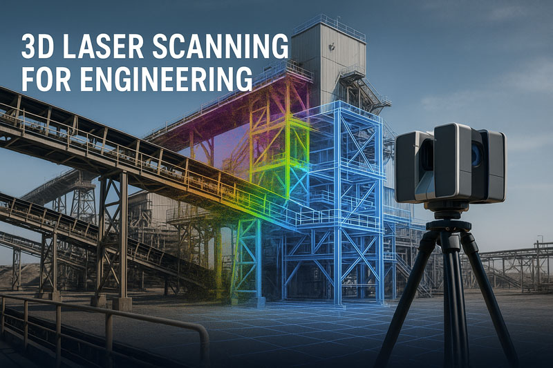
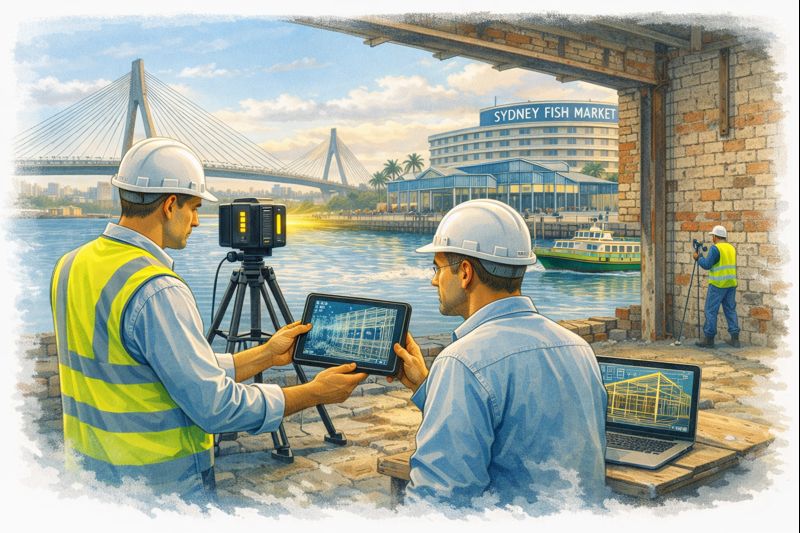
Start With a Scan: Let Designers Create With Confidence
Engineering-grade 3D laser scanning at the very beginning of a refurbishment changes the entire dynamic of a project.
Instead of reacting to unknowns later, the project team starts with:
- Verified geometry
- True floor levels and deflection
- Structural alignment and deformation
- Accurate column, beam, and slab positions
- Measured deviations from original drawings
This gives architects and designers something powerful:
Freedom to design within known constraints — not guessed ones.
Heritage & Industrial Retrofits: Why Scanning Matters Even More
Heritage Buildings
Heritage structures often prohibit invasive investigation early on.
3D scanning allows:
- Non-intrusive verification of geometry
- Identification of movement or deformation
- Assessment of tolerance drift over time
- Planning of sympathetic strengthening solutions
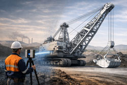
Refineries & Legacy Industrial Sites
Inner West refinery and process facilities bring additional challenges:
- Tight access
- Live plant interfaces
- Safety-critical environments
- Brownfield congestion
Scanning provides:
- Safe remote measurement
- Clash-free retrofit design
- Confidence before shutdowns
- Reduced rework during construction
When Standards Change, Reality Matters
One of the most common late-stage surprises in refurbishments is floor capacity.
Buildings that performed adequately for decades may no longer comply with:
- Current live load requirements
- Change-of-use provisions
- Equipment point loads
- Modern safety factors
Without accurate structural geometry and context, engineers are forced to:
- Assume worst-case scenarios
- Over-design strengthening
- Restrict layouts unnecessarily
Early scanning supports informed engineering judgement, often resulting in:
- Targeted strengthening instead of blanket solutions
- Retention of original fabric where possible
- Reduced material and construction costs


From Point Cloud to Engineering Decisions
At Hamilton By Design, scanning is not a standalone service — it’s an engineering tool.
Our process typically supports:
- Structural verification of existing buildings
- Floor flatness, level, and deflection assessment
- Alignment checks of columns and frames
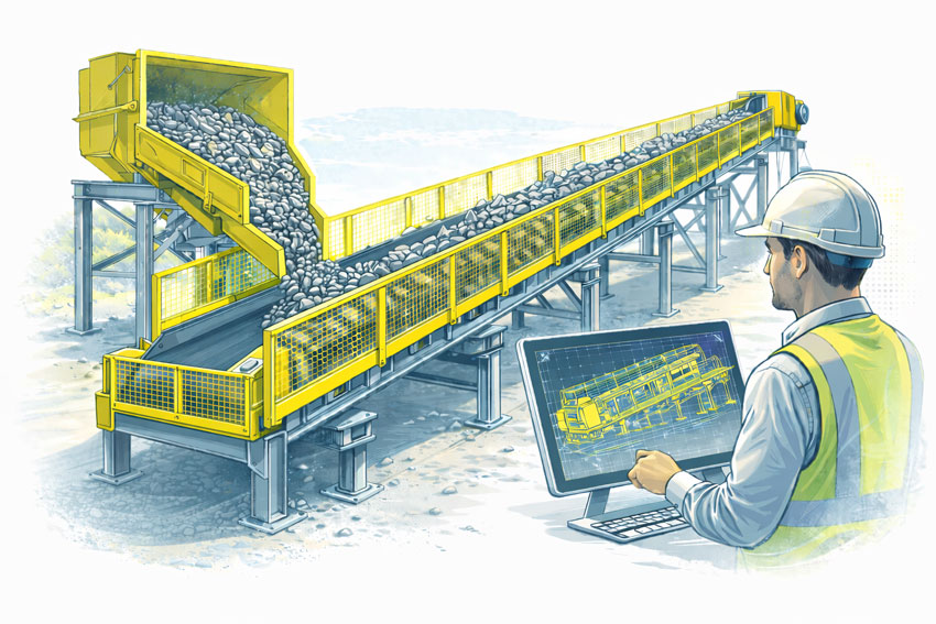
- Scan-to-CAD models for design integration
- Fit-for-purpose information for refurbishment decisions
This is especially critical in Inner West projects, where:
- Every millimetre matters
- Access is limited
- Heritage considerations are real
- Late changes are costly
Design With Knowledge, Not Surprises
Refurbishments don’t fail because buildings are old.
They fail because assumptions survive too long.
By starting with an engineering-led scan:
- Designers get space to create
- Engineers get data they can trust
- Asset owners avoid late-stage shocks
- Projects move forward with confidence
If you’re planning a refinery upgrade, heritage refurbishment, or adaptive re-use project in Inner West Sydney, the smartest decision you can make is to scan first — before concept becomes constraint.
Thinking about a refurbishment or retrofit in the Inner West?
Engineering-grade 3D scanning at the start gives your project clarity, confidence, and creative freedom — not limitations.


Mechanical Engineering | Structural Engineering