


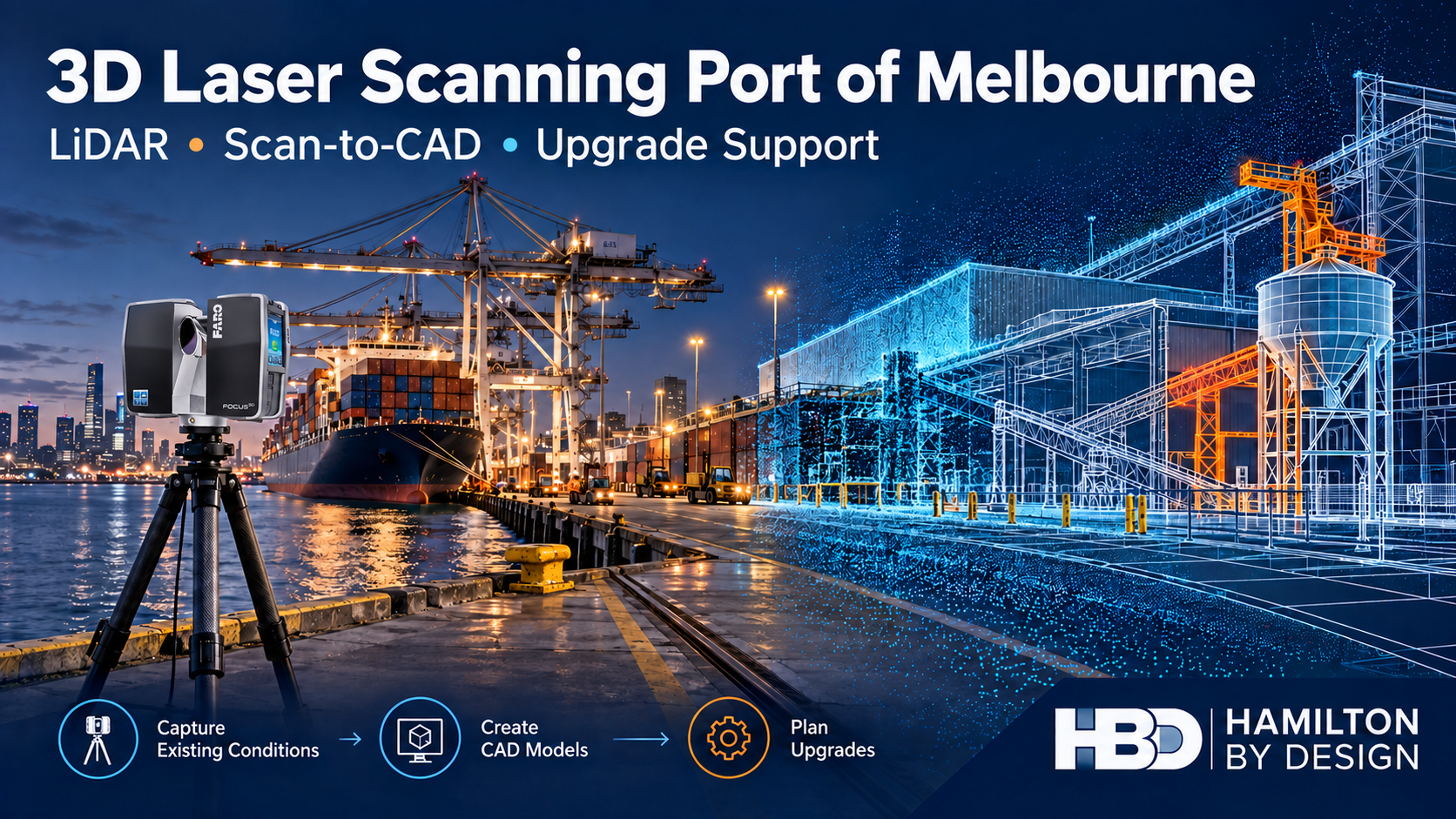

Hamilton By Design provides 3D laser scanning for Port of Melbourne projects, helping terminal operators, asset owners, contractors and project teams capture existing conditions before planning upgrades, fabrication or installation.
Our services bring together terrestrial LiDAR scanning, point cloud processing, scan-to-CAD modelling and practical design support. From a single equipment interface to a larger plant area, we help turn site measurements into useful information for project delivery.
Planning a port facility upgrade? Start with an accurate record of what exists.
Supporting Melbourne’s Commercial Port Facilities
The Port of Melbourne encompasses container, vehicle, general cargo and bulk facilities. Its infrastructure includes container terminals at Swanson Dock and Webb Dock, automotive facilities, and terminals handling dry bulk, liquid bulk and non-containerised cargo.
These environments present different measurement and coordination challenges. New equipment may need to connect to existing plant. Pipework may pass through congested service areas. Platforms, guards and support frames may need to fit within restricted spaces.
Hamilton By Design can support projects involving:
- Terminal buildings, warehouses and maintenance workshops.
- Conveyors, transfer chutes and bulk-handling equipment.
- Pump stations, pipework and associated services.
- Tanks, equipment supports and access structures.
- Machinery replacement and equipment installation.
- Existing-condition documentation for refurbishment and upgrades.
The scanning scope is developed around the project’s required measurements, interfaces and deliverables.
Why Use 3D Laser Scanning Before a Port Upgrade?
Existing drawings are a useful starting point, but they may not reflect later modifications, relocated equipment or changes to services.
A replacement component can match the drawing and still clash with the installed plant. A proposed pipe route can appear clear in a layout while passing through an existing support or access zone.
3D laser scanning Port of Melbourne facilities provides a measured baseline for planning work around actual site conditions.
A registered point cloud can help project teams:
- Locate existing equipment and surrounding infrastructure.
- Check clearances and installation envelopes.
- Identify potential clashes before fabrication.
- Plan connections between new and existing assets.
- Reduce repeated measurement visits.
- Develop updated layouts and as-built documentation.
The value comes from capturing the geometry needed to answer the project’s practical questions.
LiDAR Scanning for Existing Port Assets
Terrestrial LiDAR scanning captures visible surfaces from multiple positions. Those scans are registered into a coordinated point cloud representing the captured site geometry.
Depending on access and scope, this can include steelwork, machinery, pipework, building interiors, platforms, walkways and surrounding services.
For port projects, scan planning needs to account for operating equipment, vehicle movements, restricted areas and the availability of safe scanning positions. Hamilton By Design works with the site team to plan capture around these conditions.
Some areas may require isolation, controlled access or a shutdown window. Where surfaces are hidden or obstructed, additional scanning positions or supplementary measurements may be needed.
Scan-to-CAD for Port of Melbourne Projects
A point cloud records existing conditions. Scan-to-CAD converts selected geometry into models and drawings that project teams can use.
Hamilton By Design can develop CAD information for:
- Existing plant and equipment layouts.
- Pipe routes and equipment interfaces.
- Conveyor and chute arrangements.
- Platforms, access structures and support frames.
- Machinery footprints and maintenance spaces.
- General arrangement drawings.
- Plans, sections and elevations.
The modelling scope is matched to the intended use. A layout study may only require equipment envelopes and major services. A fabrication interface may need more detailed geometry and additional dimensional checks.
Modelling the features that influence the project keeps the deliverable useful and avoids unnecessary detail.
Scanning Applications Across Port Facilities
Container and Vehicle Terminals
Scanning can support upgrades to maintenance buildings, workshops, service areas and equipment installations.
Typical applications include capturing building geometry, checking equipment clearances and documenting existing services before refurbishment or fit-out work.
General Cargo Facilities
For warehouses and cargo-support infrastructure, scanning can provide existing-condition information for layout changes, access improvements and equipment replacement.
A coordinated digital record helps designers understand the relationship between buildings, services and proposed additions.
Dry Bulk Handling Facilities
Conveyors, hoppers, transfer chutes and surrounding steelwork often have closely connected interfaces.
Scanning can support replacement planning, chute modifications, guarding layouts and access improvements by recording the position of existing assets before design begins.
Liquid Bulk and Associated Plant
Pipework, pumps, valves and supports can create complex installation constraints.
LiDAR scanning can capture visible geometry for routing studies, tie-in planning and coordination. Critical connection dimensions may require supplementary verification depending on the required tolerance and access.
Upgrade Planning and Design Coordination
Port upgrades need useful information about both the existing asset and the space available for the proposed work.
Hamilton By Design can combine point clouds with proposed CAD geometry to help review:
- Equipment position and orientation.
- Connections to existing plant.
- Clearance around services and steelwork.
- Maintenance and operator access.
- Space for removal and replacement.
- Potential installation clashes.
Where required, the captured information can also support mechanical design and fabrication documentation for the upgrade.
Early coordination helps project teams resolve fit-up questions while changes are still easier to make.
Fabrication and Installation Support
Accurate site information is particularly valuable when a fabricated item must connect to an existing facility.
A pipe spool, guard, chute or platform may depend on several interfaces being correct at the same time. Scan data provides context for those interfaces and helps identify surrounding obstructions that isolated measurements can miss.
Hamilton By Design can support fabricators and installation teams with selected CAD geometry, drawings and fit-up review information.
For components with tight tolerances, critical dimensions should be identified at the scope stage so the appropriate capture and verification methods can be selected.
Deliverables Matched to Your Project
Depending on the agreed scope, deliverables may include:
| Deliverable | Typical use |
|---|---|
| Registered point cloud | Existing-condition reference and coordination |
| E57, RCP or LAS data | Use within compatible scanning and design software |
| 3D CAD model | Layout development, interface review and design |
| STEP or Parasolid geometry | Exchange with engineering and fabrication teams |
| AutoCAD drawings | Plans, sections, elevations and general arrangements |
| PDF drawing package | Project review, communication and site reference |
| Combined scan and design model | Visual review of proposed work within existing conditions |
File formats, model detail and drawing requirements are agreed before work begins.
Our Port Scanning Workflow
1. Review the Project Scope
We establish the area to be captured, the purpose of the scan, critical interfaces and required outputs.
2. Plan Site Access
We coordinate scanning positions and access requirements with the site team, including any operational restrictions or isolation needs.
3. Capture Existing Conditions
The agreed area is scanned using terrestrial LiDAR, with supplementary measurements where required.
4. Register and Review the Data
Scans are aligned into a coordinated point cloud and reviewed for coverage and suitability for the intended task.
5. Develop Models and Drawings
Selected geometry is converted into CAD models, layouts or drawing information where included in the scope.
6. Support Project Coordination
The deliverables can be used to review proposed upgrades, identify clashes and support fabrication and installation planning.
Why Hamilton By Design?
Hamilton By Design combines 3D scanning with mechanical design, CAD modelling, drafting and fabrication support.
This practical background helps us identify what needs to be captured, which interfaces matter and how the information will be used after scanning.
Our focus is on useful project outcomes: clearer existing-condition information, better coordination and reduced uncertainty before fabrication or installation.
For related capabilities, explore:
- 3D Laser Scanning Melbourne
- 3D Scanning for Fabrication Melbourne
- Reverse Engineering 3D Scanning Melbourne
- SolidWorks Melbourne
Frequently Asked Questions
Can scanning take place while a facility is operating?
Often, selected areas can be scanned while operations continue. Access depends on site rules, equipment movement, visibility and safe scanning positions. Some areas may require isolation or a shutdown window.
Can you supply point cloud data without a CAD model?
Yes. The scope can cover scanning and registered point cloud delivery, with modelling or drawings added where needed.
Can the scan be used to check whether new equipment will fit?
A point cloud can support clearance and clash reviews when combined with suitable proposed equipment geometry. The review should also account for installation access, maintenance space and any required dimensional verification.
What accuracy is suitable for a port scanning project?
The required accuracy depends on the task. General layouts, pipe connections and precision components have different requirements. We review the intended use and critical tolerances before selecting the capture and verification approach.
Can you scan a small area rather than an entire terminal?
Yes. A targeted scan can capture a specific plant area, equipment interface or proposed upgrade zone. The scope should include enough surrounding geometry to support the intended design and coordination work.
Discuss Your Port of Melbourne Scanning Project
If you are planning equipment replacement, a facility upgrade or fabrication work, Hamilton By Design can help establish the existing conditions before design proceeds.
Send through the project location, a brief scope, available drawings or photographs, and your required delivery date.
Contact Hamilton By Design to discuss 3D laser scanning Port of Melbourne, scan-to-CAD modelling and upgrade support
Scan → Model → Plan → Upgrade

Contact Us – Talk To Us
Our clients:

























Related Scanning, Modelling and Drafting Services
Explore Hamilton By Design services that can support Port of Melbourne projects, from capturing existing conditions to developing CAD models and documentation for planned upgrades.
3D Point Cloud Modelling Melbourne
Turn LiDAR scan data into usable models of existing assets. Support layout reviews, interface checking and coordination before fabrication or installation.
Explore point cloud modelling →3D Engineering in Melbourne
Combine captured site geometry with coordinated CAD models to review clearances, equipment interfaces and proposed additions within existing facilities.
Explore 3D engineering →Point Cloud to CAD Australia
Convert registered scan data into selected CAD geometry, drawings and models for design development, existing-condition documentation and project coordination.
Explore point cloud to CAD →Scan to BIM Services Australia
Develop digital models of existing buildings, infrastructure and industrial assets to support refurbishment, services coordination and asset documentation.
Explore Scan to BIM →Plant Layout Scan to BIM Australia
Capture equipment positions and surrounding infrastructure to help plan plant layouts, equipment additions and upgrades within existing industrial facilities.
Explore plant layout modelling →Structural Drafting Australia
Explore structural drafting support for documenting steelwork arrangements and communicating project requirements to engineering and fabrication teams.
Explore structural drafting →Australian Design Drafting Services
Develop clear CAD drawings and design documentation to communicate layouts, equipment arrangements and fabrication requirements across project teams.
Explore design and drafting →Existing-Condition Studies and 3D Laser Scanning
Establish measured site information before planning changes. Focus capture on access constraints, existing assets and the interfaces that matter for the proposed work.
Explore existing-condition studies →