

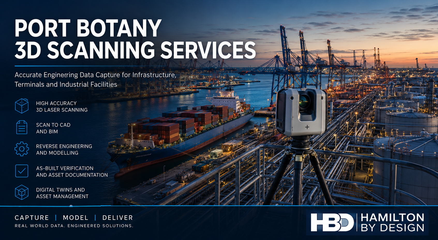

Hamilton By Design provides professional Port Botany 3D scanning services for infrastructure, container terminals, industrial facilities, logistics operations, fuel terminals and engineering projects throughout Port Botany, Sydney. We use engineering-grade terrestrial LiDAR scanning technology to accurately capture existing conditions and create reliable digital models, drawings and datasets for maintenance, upgrades, asset management and construction projects.
Our 3D scanning services allow asset owners, engineers, contractors and project managers to obtain precise measurements of existing facilities without relying on outdated drawings or manual site measurements. The resulting point cloud data can be converted into CAD models, engineering drawings, BIM models, asset registers and digital twins to support informed decision-making and reduce project risk.
Whether you require a complete terminal survey, structural verification, Scan to CAD services, reverse engineering support or as-built documentation, Hamilton By Design delivers accurate engineering data capture across Port Botany and greater Sydney.
Engineering-Grade 3D Scanning in Port Botany
Port Botany is Australia’s largest container port and one of the country’s most important logistics and industrial hubs. The area contains a wide variety of assets that require ongoing maintenance, upgrades and engineering support, including:
- Container terminals
- Wharf infrastructure
- Rail terminals
- Bulk liquid storage facilities
- Fuel terminals
- Tank farms
- Pipework systems
- Pump stations
- Conveyor systems
- Warehouses
- Distribution centres
- Industrial workshops
- Utilities infrastructure
- Stormwater systems
- Structural steel infrastructure
Many facilities have undergone numerous modifications over several decades, resulting in incomplete or outdated documentation. Accurate 3D laser scanning provides a reliable foundation for future engineering and construction activities.
Why Use 3D Scanning for Port Botany Facilities?
Traditional site measurement methods can be time-consuming, disruptive and prone to errors. Industrial facilities often contain complex structures, congested pipework and restricted access areas that make manual measurement difficult.
3D scanning provides significant advantages:
Improved Accuracy
Modern terrestrial laser scanners capture millions of measurement points per second, creating highly accurate representations of existing assets.
Reduced Site Time
Large facilities can be captured in a fraction of the time required for traditional measurement methods.
Increased Safety
Personnel spend less time working around operational equipment, traffic movements, elevated structures and hazardous areas.
Better Project Outcomes
Designers and engineers can work from accurate site information, reducing clashes, rework and unexpected site issues.
Long-Term Asset Records
The point cloud becomes a permanent digital record of the facility at the time of capture.
Industries We Support in Port Botany
Ports and Marine Infrastructure
Port operators and marine contractors use 3D scanning for:
- Wharf upgrades
- Berth modifications
- Fender replacement projects
- Structural inspections
- Asset documentation
- Marine infrastructure maintenance
Logistics and Distribution
Warehouses and logistics facilities often require:
- Building surveys
- Equipment installation planning
- Conveyor modifications
- Warehouse expansions
- Asset verification
Fuel and Energy Facilities
Tank farms and fuel terminals benefit from:
- Pipework modelling
- Tank surveys
- Structural steel verification
- Equipment replacement projects
- Brownfield upgrade planning
Manufacturing and Industrial Facilities
Industrial facilities commonly require:
- Existing condition surveys
- Reverse engineering support
- Equipment installation planning
- Structural modifications
- Digital asset management
Typical Port Botany 3D Scanning Applications
Scan to CAD
Our Scan to CAD services convert point cloud data into engineering documentation including:
- General arrangement drawings
- Site layouts
- Equipment layouts
- Structural steel drawings
- Existing condition plans
- Sections and elevations
Deliverables may include:
- DWG files
- DXF files
- PDF drawings
- AutoCAD models
Scan to BIM
For larger infrastructure projects, point cloud data can be converted into BIM models suitable for asset management and project delivery.
Deliverables may include:
- Revit models
- Navisworks models
- BIM coordination models
- Asset information models
Reverse Engineering
Many industrial facilities contain legacy equipment where original drawings no longer exist.
3D scanning provides accurate geometry for:
- Pump components
- Impellers
- Casings
- Pipework fittings
- Structural components
- Mechanical assemblies
Resulting deliverables may include:
- SolidWorks models
- STEP files
- Parasolid files
- Manufacturing drawings
As-Built Verification
Construction and maintenance projects often require verification of completed works.
3D scanning enables:
- Dimensional verification
- Clash detection
- Construction validation
- Asset record updates
Our 3D Scanning Process
1. Site Assessment
We review the project requirements and identify:
- Scope of work
- Site access requirements
- Safety requirements
- Deliverables required
- Survey control requirements
2. On-Site Data Capture
Using professional terrestrial LiDAR equipment, we capture the facility from multiple scan positions to ensure complete coverage.
Typical assets scanned include:
- Buildings
- Structures
- Pipework
- Conveyors
- Tanks
- Mechanical equipment
- Marine infrastructure
3. Point Cloud Registration
Individual scans are registered into a unified coordinate system to create a complete digital representation of the facility.
4. Data Processing
The registered point cloud is cleaned, optimised and prepared for engineering use.
5. Modelling and Documentation
The point cloud is converted into the required deliverables, including CAD drawings, BIM models, engineering models or asset documentation.
6. Project Delivery
Final deliverables are issued in the formats required by the client.
Deliverables Available
Hamilton By Design can provide:
- E57 point clouds
- RCP files
- RCS files
- LAS files
- AutoCAD DWG files
- DXF files
- PDF drawings
- SolidWorks models
- STEP files
- Parasolid files
- Navisworks models
- Revit models
- General arrangement drawings
- Sections and elevations
- Asset verification reports
All deliverables can be tailored to suit engineering, construction, maintenance or asset management requirements.
Supporting Brownfield Upgrade Projects
One of the most common applications for 3D scanning in Port Botany is supporting brownfield infrastructure upgrades.
Industrial facilities rarely match original drawings due to years of modifications, repairs and operational changes. Accurate point cloud data allows project teams to design around existing conditions with confidence.
Typical upgrade projects include:
- Conveyor replacements
- Pipework modifications
- Structural steel upgrades
- Tank farm expansions
- Pump station upgrades
- Equipment replacements
- Wharf infrastructure improvements
By working from accurate existing-condition data, project teams can reduce site rework, minimise disruptions and improve project outcomes.

Port Botany 3D Scanning Services from Hamilton By Design
Hamilton By Design provides engineering-focused 3D scanning services throughout Port Botany, Sydney and regional Australia. Our experience across ports, infrastructure, manufacturing, mining, utilities and industrial facilities allows us to deliver practical engineering solutions supported by accurate reality capture data.
Whether your project requires Scan to CAD, Scan to BIM, reverse engineering, asset documentation or as-built verification, our team can provide accurate and reliable digital data to support your next project.
Contact Hamilton By Design today to discuss your Port Botany 3D scanning requirements and obtain a tailored proposal for your facility or infrastructure project.
Talk to Us – Contact Us
Our clients:


