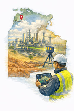
3D Laser Scanning Brisbane | Site Capture to Engineering Outcomes
A Connected Workflow for Reliable Project Delivery
Most projects in Brisbane do not begin with empty space.
They begin with existing buildings, infrastructure and operating facilities.
Over time, equipment is replaced, services are rerouted and structures are modified. Drawings rarely keep pace with reality. When upgrades are designed from outdated information, installation conflicts and construction delays follow.
3D laser scanning allows project teams to start with measured conditions rather than assumptions.
Hamilton By Design provides a connected workflow — from site capture through to engineering modelling — supporting accurate design and predictable installation.

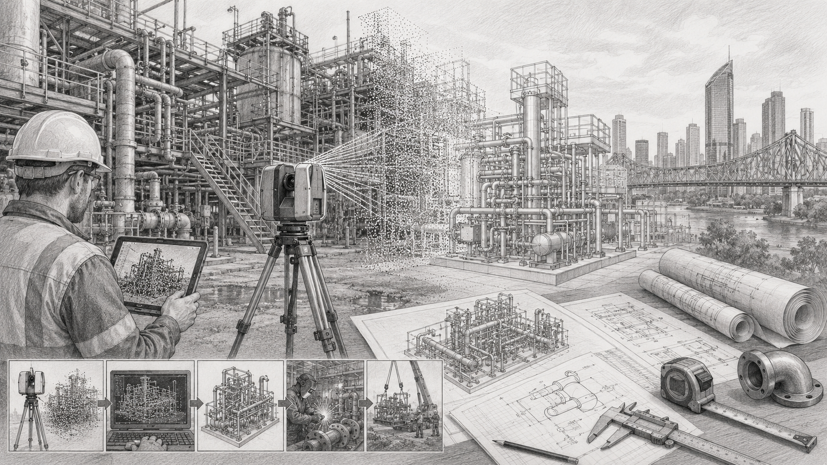
Step 1 — Capture the Real Conditions
Start with measured reality
The first step is collecting reliable site data using high-accuracy LiDAR scanning. This creates a spatial record of structures, services and equipment exactly as they exist.
3D Scanning Brisbane
https://www.hamiltonbydesign.com.au/laser-scanning-engineering-brisbane-cbd/3d-scanning-brisbane/
This process replaces manual measurement and reduces uncertainty before design begins.
Step 2 — Apply Engineering Understanding
Turn measurements into decisions
Scan data alone does not solve problems — interpretation does.
Engineering review ensures the captured data supports real project outcomes such as upgrades, replacements and modifications.
3D Scanning Engineering Brisbane
https://www.hamiltonbydesign.com.au/home/engineering-services/3d-laser-scanning/3d-scanning-engineering-brisbane/
This stage identifies constraints, access limitations and constructability issues before fabrication.
Step 3 — Develop Buildable Models
Create fabrication-ready information
Once verified, the measured conditions are converted into coordinated models used by designers, fabricators and contractors.
Scan to CAD Brisbane
https://www.hamiltonbydesign.com.au/scan-to-cad-brisbane/
Accurate models allow components to be designed to fit existing conditions rather than adjusted in the field.
Step 4 — Apply to Real Projects
Support upgrades and modifications
Reliable as-built information improves planning and installation across many sectors:
3D Scanning Services in Brisbane
https://www.hamiltonbydesign.com.au/laser-scanning-engineering-brisbane-cbd/3d-scanning-brisbane/3d-scanning-services-in-brisbane/
Typical applications include industrial upgrades, infrastructure changes and facility modifications.
Why a Connected Workflow Matters
Many project delays occur because measurement, modelling and engineering are treated as separate tasks. When they are integrated, problems are identified earlier and resolved more efficiently.
This approach helps:
- reduce rework
- shorten shutdown durations
- improve installation certainty
- support accurate fabrication
Instead of reacting to site conditions, projects are planned around them.

Engineering Starts With Reliable Information
The quality of the final outcome depends on the quality of the starting data.
When existing conditions are known, design becomes predictable.
By linking site capture, modelling and engineering decisions, projects can move forward with confidence.
If your project depends on existing assets, accurate measurement is the first step toward reliable delivery.