


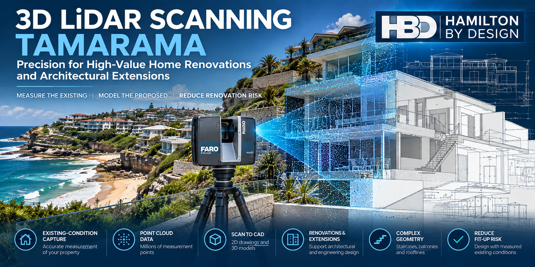
Accurate Existing-Condition Measurements Before You Renovate
Planning a renovation, home extension or architectural alteration in Tamarama?

Hamilton By Design provides professional 3D LiDAR scanning in Tamarama, Sydney, helping homeowners, architects, builders and designers understand the existing geometry of residential buildings before design and construction begin.
Using terrestrial laser scanning technology, we capture millions of three-dimensional measurement points to create a digital record of accessible building surfaces.
This information can be used to develop point clouds, 2D drawings and 3D CAD models for architectural planning, engineering coordination and building modifications.
Whether you are extending an established coastal residence, modifying a multi-level home or preparing documentation for a major renovation, understanding the existing building is an important first step.
Measure the existing building. Reduce assumptions. Design with greater confidence.
Why 3D Laser Scanning Is Valuable for Tamarama Properties
Tamarama is one of Sydney’s distinctive coastal residential suburbs, located between Bondi and Bronte.
With a reported median house sale price of approximately $9 million in 2026, property renovations can involve substantial financial commitments.
High property values do not automatically make every renovation complex. However, where substantial alterations are proposed, inaccurate existing-condition information can create unnecessary design changes, fabrication problems and construction delays.
Tamarama properties may present challenges including:
- Multi-storey homes constructed on sloping sites.
- Restricted access between neighbouring buildings.
- Existing structures with incomplete or outdated drawings.
- Complex rooflines, balconies, terraces and staircases.
- Irregular building geometry and changes in floor levels.
- Architectural alterations requiring accurate dimensional coordination.
- Coastal exposure and existing construction requiring specialist consideration.
- Limited space for construction equipment and material handling.
3D LiDAR scanning helps document visible existing geometry before designers commit to proposed modifications.
For renovations involving structural alterations, the scanning information can assist the relevant engineers with geometric coordination. Structural adequacy, material condition and design compliance require separate engineering assessment.
What Is 3D LiDAR Scanning?
3D LiDAR scanning is a non-contact measurement process that uses laser technology to capture the visible geometry of buildings and structures.
A terrestrial laser scanner records millions of spatial measurements from multiple positions.
These measurements are combined into a registered three-dimensional dataset known as a point cloud.
The point cloud can be viewed digitally, measured within the limitations of the dataset and used as a reference for developing drawings and CAD models.
How Does 3D Scanning Help With Home Renovations?
Traditional building drawings may not accurately represent the current condition of an older or previously modified property.
3D scanning can help establish:
- Existing wall positions and building geometry.
- Floor-to-ceiling heights and level changes.
- Staircase geometry and available clearances.
- Roof profiles and accessible structural interfaces.
- Existing plant and equipment locations.
- Geometric relationships between different building areas.
This information allows designers to work with measured conditions rather than relying solely on assumptions or historical drawings.
3D LiDAR Scanning Services in Tamarama
1. Residential 3D Laser Scanning
Hamilton By Design captures accessible interior and exterior building geometry to support residential renovation projects.
Applications include existing homes, apartments, multi-level residences, extensions and alterations.
2. Scan to CAD and Existing-Condition Modelling
Registered point cloud data can be converted into selected CAD geometry and drawings.
Depending on project requirements, deliverables may include:
- AutoCAD 2D general arrangement drawings.
- SolidWorks 3D models.
- Selected building geometry and component models.
- Existing-condition plans, elevations and sections.
- CAD exchange files for design coordination.
The level of modelling detail is agreed before work begins.
3. Home Extensions and Architectural Alterations
When new construction must connect to an existing building, dimensional coordination becomes particularly important.
3D scanning can support the planning of:
- Second-storey additions.
- Rear and side extensions.
- Staircase alterations.
- Roof modifications.
- Balcony and terrace alterations.
- New mechanical installations.
- Architectural features with complex geometry.
Scanning documents existing geometry; it does not replace structural design, planning approvals or construction certification.
4. Complex Staircase and Building Geometry
Established residential buildings can include curved staircases, irregular walls, sloping ceilings and non-standard architectural details.
Laser scanning can capture visible geometric features that may be difficult or time-consuming to document through manual measurement alone.
This information can support the development of CAD geometry for further design work.
5. Mechanical Engineering and Equipment Coordination
Hamilton By Design combines 3D scanning with mechanical engineering and CAD modelling capabilities.
For residential projects, this may include scanning and modelling existing mechanical equipment, plant rooms, equipment supports and accessible service routes.
Structural engineering, architectural certification and regulated building design are undertaken by appropriately qualified practitioners where required.
Why Tamarama Homeowners and Architects Choose 3D Scanning
Protect the Design Process
When modifying an existing building, inaccurate dimensions can lead to changes after design work has commenced.
A measured point cloud provides a more detailed geometric reference for planning.
Reduce Construction Fit-Up Risk
New components, staircases, equipment and architectural features may need to fit within existing spaces.
Scanning can help identify clearances and geometric constraints before fabrication or installation.
Improve Communication Between Project Participants
A shared digital reference can help homeowners, architects, engineers and builders discuss the same existing-condition information.
Support More Efficient Design Decisions
Rather than repeatedly returning to site to confirm accessible dimensions, project teams can refer to the captured dataset, subject to its completeness and measurement limitations.
Document Existing Conditions
A point cloud provides a dated digital record of accessible building geometry before renovation works commence.
Hamilton By Design – From Site Scanning to Engineering Models
Hamilton By Design is an Australian mechanical engineering and 3D scanning business providing site measurement, point cloud processing, CAD modelling and engineering design services.
Our workflow combines digital measurement with practical engineering experience.
Step 1 – Understand the Renovation
We establish the project requirements, intended modifications, building access and required deliverables.
Step 2 – Capture the Building
Using a FARO Focus S70 terrestrial laser scanner, we collect point cloud data from accessible areas.
Multiple scanner positions may be required to capture complex building geometry.
Step 3 – Register and Review the Point Cloud
Individual scans are aligned into a coordinated dataset.
We review the registration and identify areas where access restrictions, obstructions or limited scan coverage may affect the information.
Step 4 – Develop CAD Models and Drawings
Where requested, the point cloud is used to develop selected CAD models, plans, elevations or engineering details.
Step 5 – Deliver the Information
The agreed digital files and drawings are supplied for use by the project team.
Assumptions, exclusions and relevant measurement limitations are identified as appropriate to the deliverables.
What Digital Files Can Be Supplied?
| File format | Typical application |
|---|---|
| E57 | Point cloud exchange and coordination |
| RCP / RCS | Autodesk point cloud workflows |
| LAS | Point cloud data exchange |
| DWG / DXF | 2D CAD drawings |
| STEP | 3D geometry exchange |
| Parasolid | CAD geometry exchange |
| SolidWorks | 3D mechanical modelling |
| General arrangement and technical drawings |
Deliverables are tailored to the project.
Some clients require only registered point cloud data. Others require 2D drawings, selected CAD geometry or detailed mechanical models.
How Accurate Is 3D LiDAR Scanning?
Accuracy depends on scanner performance, distance, surface characteristics, scan registration, site conditions and the intended use of the information.
Under suitable conditions, individual terrestrial scan measurements can achieve millimetre-level precision.
For Hamilton By Design projects, typical registered point cloud datasets may have overall uncertainty in the order of ±5–10 mm, depending on the scanning arrangement and site conditions.
These values are indicative and must not be treated as guaranteed tolerances for every feature.
Projects involving close-fitting components, fabrication or critical connection details may require additional verification or higher-precision measurement.
3D LiDAR scanning is not automatically equivalent to a registered land survey, structural certification or fabrication-level dimensional inspection.
Who Benefits From 3D Scanning in Tamarama?
Homeowners
Understand the existing geometry of a property before committing to substantial renovation or extension work.
Architects
Obtain measured reference data for existing-condition documentation, alterations and architectural coordination.
Residential Builders
Use captured building geometry to assist with planning, identifying dimensional constraints and coordinating proposed construction.
Interior Designers
Document room geometry, staircases, ceiling profiles and existing architectural features.
Engineers
Use point cloud information as a geometric reference for design coordination and specialist assessments.
Property Developers and Project Managers
Improve visibility of existing conditions and assist communication between project stakeholders.
Frequently Asked Questions About 3D LiDAR Scanning in Tamarama
Can Hamilton By Design scan a house in Tamarama?
Yes. Hamilton By Design provides project-based 3D LiDAR scanning services for residential properties in Tamarama and surrounding Sydney suburbs, subject to access and scheduling.
Can you scan a house before a second-storey extension?
Yes. We can capture accessible rooflines, walls, floor geometry and other relevant existing features to support architectural and engineering coordination.
Can you create drawings from an existing house without original plans?
Yes. Point cloud data can be used to develop selected existing-condition drawings and CAD models. The required level of detail should be agreed before scanning.
Is 3D scanning useful for expensive residential renovations?
Yes. Where a renovation involves complex existing geometry or significant new-to-existing interfaces, scanning can reduce dimensional uncertainty during design. It does not eliminate construction risk or replace specialist inspections.
Can 3D scanning capture curved staircases?
Yes. Laser scanning can capture accessible curved and irregular surfaces. Further CAD modelling may be required to produce useful design or fabrication geometry.
How long does a residential 3D scan take?
The time depends on building size, number of levels, access, required scan coverage and site complexity. A project-specific assessment is required before confirming the scanning duration.
Can you supply the point cloud to my architect?
Yes. We can provide agreed point cloud formats for use in compatible software, including Autodesk workflows.
Does 3D LiDAR scanning replace a land survey?
No. Property boundaries, cadastral matters and other regulated surveying requirements must be addressed by an appropriately registered surveyor.
Can 3D scanning identify structural defects?
Not reliably on its own. Scanning captures visible geometry and may document apparent deformation, but identifying structural defects and determining structural adequacy require separate engineering investigation.
Do you service Bondi, Bronte and surrounding suburbs?
Yes. Hamilton By Design provides project-based scanning services across Sydney, including Tamarama, Bondi, Bronte and surrounding Eastern Suburbs locations.
3D LiDAR Scanning Across Sydney’s Eastern Suburbs
Hamilton By Design supports residential and architectural projects across Sydney, including:
- Tamarama
- Bondi
- Bronte
- Bondi Junction
- Bellevue Hill
- Double Bay
- Rose Bay
- Vaucluse
- Darling Point
- Point Piper
Services are provided on a project basis, with scope and site access confirmed before mobilisation.
Request a 3D LiDAR Scanning Quotation – Tamarama NSW
Planning a residential renovation, extension or architectural modification?
Hamilton By Design can help capture the existing building geometry and develop the point cloud or CAD information needed for the next stage of your project.
For an initial quotation, please provide:
- Property location and approximate building size.
- Number of levels.
- Description of the proposed renovation.
- Areas requiring scanning.
- Required file formats or CAD deliverables.
- Preferred site access and delivery dates.
Hamilton By Design
3D LiDAR Scanning | Point Cloud Processing | Scan to CAD | Mechanical Engineering
Website: https://www.hamiltonbydesign.com.au/
Measure the existing. Model the proposed. Reduce uncertainty before construction.

Contact Us – Talk To Us
Our clients:
























