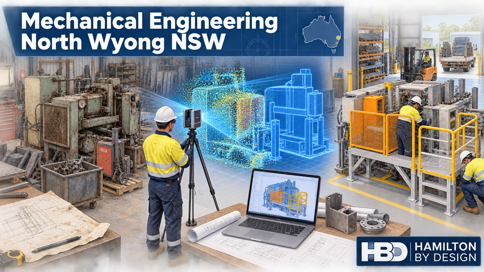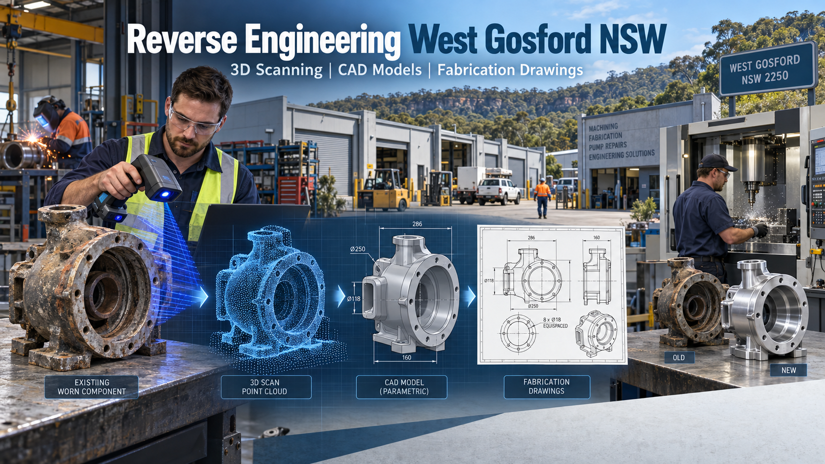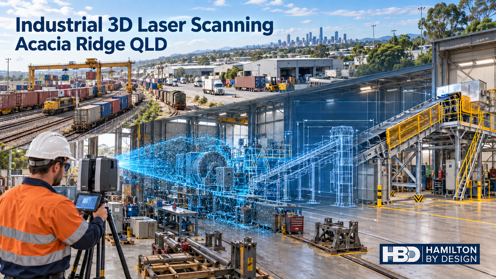
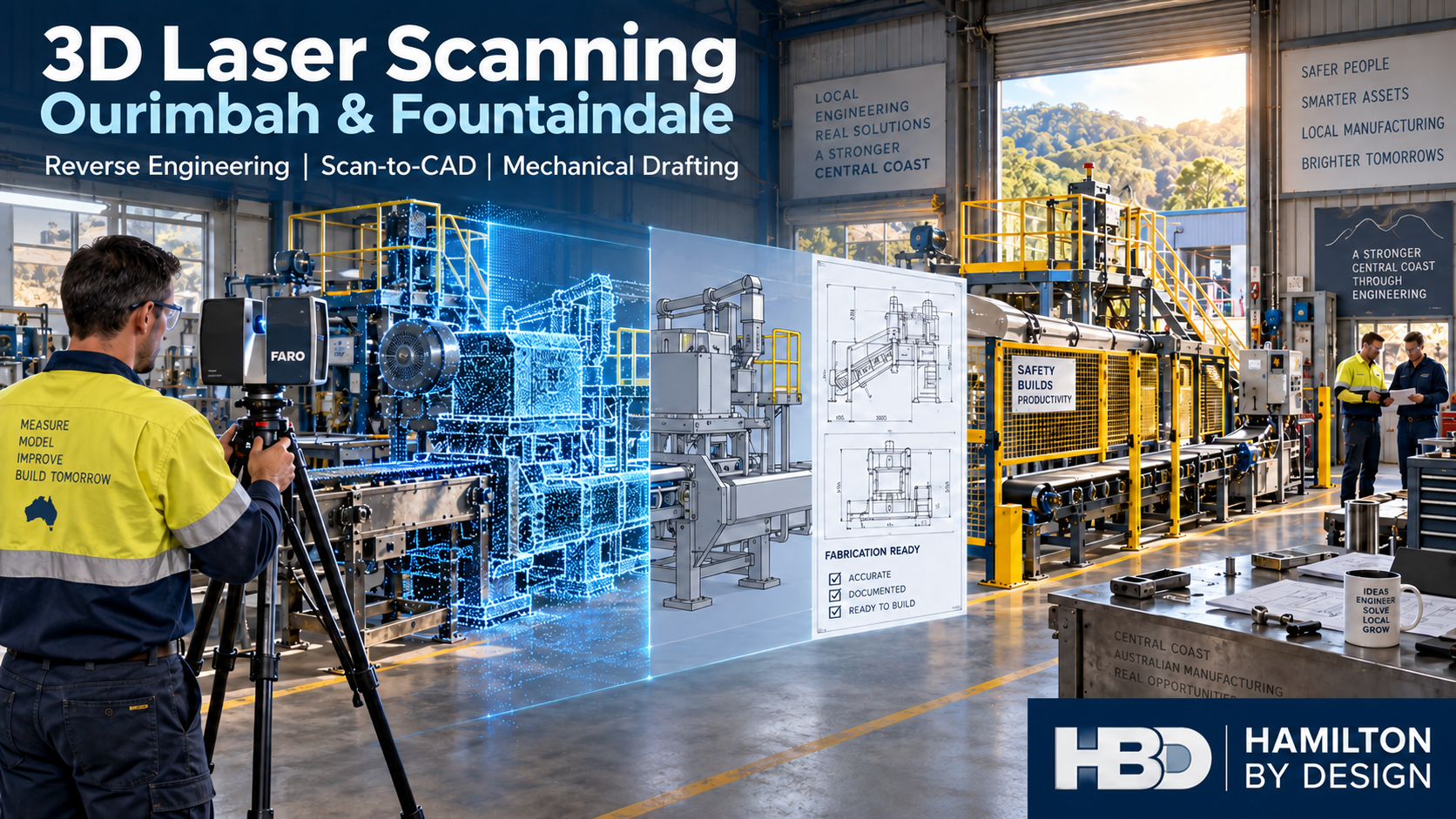
Scan to BIM Newcastle & Hunter

Scan to BIM Newcastle and Hunter showing 3D LiDAR scanning, point cloud modelling and BIM development for industrial, mining and port infrastructure projects in the Hunter Valley region.

Scan to BIM Newcastle & Hunter | 3D LiDAR Scanning & BIM Modelling

Engineering-Led Scan to BIM Services Across Newcastle, the Hunter Valley and Regional NSW

Hamilton By Design provides professional Scan to BIM Newcastle & Hunter services for industrial, mining, manufacturing, infrastructure, commercial and government projects throughout the region.

Using advanced 3D LiDAR scanning, point cloud processing and BIM modelling technologies, we transform existing buildings, plants and infrastructure into accurate digital models that support engineering, design, construction and asset management workflows.

Whether your project is located in Newcastle CBD, the Port of Newcastle, Kooragang Island, Tomago, Maitland, Singleton, Muswellbrook, Cessnock, Kurri Kurri, Raymond Terrace or the wider Hunter Valley, our engineering-led approach helps deliver accurate information from the very beginning of a project.


Why Scan to BIM is Important for Newcastle & Hunter Projects

The Newcastle and Hunter region is home to some of Australia’s most significant:

  • Mining operations
  • Coal handling facilities
  • Power generation assets
  • Manufacturing plants
  • Port infrastructure
  • Water treatment facilities
  • Rail infrastructure
  • Heavy industrial sites
  • Commercial developments
  • Health and education facilities

Many of these assets have been operating for decades.

As facilities evolve, original drawings often become outdated, modifications are undocumented and site conditions differ significantly from available records.

Scan to BIM provides a reliable method of capturing existing conditions before design, construction or upgrade work begins.


What is Scan to BIM?

Scan to BIM is the process of converting high-accuracy 3D laser scan data into intelligent BIM models and engineering documentation.

The workflow typically includes:

Stage 1 – Site Capture

Using professional 3D LiDAR scanning equipment, millions of measurements are collected across the site.

The result is a highly detailed digital representation of existing conditions.

Stage 2 – Point Cloud Registration

Individual scans are aligned and registered into a unified coordinate system.

This creates an accurate point cloud representing the entire site.

Stage 3 – BIM Development

The point cloud is converted into BIM models, CAD drawings or digital engineering deliverables suitable for project requirements.

Stage 4 – Engineering Integration

The resulting information can be used for:

  • Design development
  • Asset management
  • Refurbishment projects
  • Structural modifications
  • Mechanical upgrades
  • Clash detection
  • Construction planning
  • As-built documentation

Engineering-Led Site Capture

Hamilton By Design is not simply a scanning provider.

We are mechanical engineering, drafting and design professionals who understand how the information will be used downstream.

This distinction is important.

Many scanning providers deliver a point cloud and leave interpretation to the client.

Our engineering-led approach focuses on creating deliverables that support:

  • Mechanical engineering
  • Structural engineering
  • Plant upgrades
  • Access system design
  • Fabrication projects
  • Shutdown planning
  • Asset management

The result is information that can be used immediately by engineers, designers, fabricators and project teams.


Scan to BIM for Mining Operations

The Hunter Valley remains Australia’s largest coal-producing region.

Mining operations continually require:

  • Conveyor upgrades
  • Transfer chute modifications
  • Structural upgrades
  • Processing plant improvements
  • Materials handling projects
  • Shutdown planning
  • Asset inspections

Scan to BIM allows project teams to capture existing conditions before engineering begins.

Benefits include:

  • Reduced site revisits
  • Improved design accuracy
  • Better project planning
  • Improved safety outcomes
  • Reduced rework during installation

For active mining sites, accurate digital information significantly reduces project risk.


Scan to BIM for Manufacturing Facilities

The Newcastle and Hunter region hosts a diverse manufacturing sector including:

  • Food processing
  • Packaging
  • Steel fabrication
  • Chemical processing
  • Industrial manufacturing
  • Warehousing and logistics

Plant modifications often occur within operational facilities where downtime is expensive.

Scan to BIM provides:

  • Existing plant layouts
  • Equipment locations
  • Pipe routing verification
  • Structural verification
  • Access and maintenance assessments

This information supports more efficient project execution and improved design coordination.


Port and Infrastructure Applications

The Port of Newcastle and associated industrial infrastructure continue to undergo significant upgrades and maintenance programs.

Scan to BIM is ideally suited for:

  • Port facilities
  • Ship loading infrastructure
  • Bulk materials handling systems
  • Rail infrastructure
  • Water treatment assets
  • Industrial terminals
  • Civil infrastructure

Accurate digital twins improve planning and reduce uncertainty before construction activities commence.


Scan to BIM Deliverables

Depending on project requirements, Hamilton By Design can provide:

Point Cloud Deliverables

  • E57 Files
  • LAS Files
  • RCP Files
  • RCS Files
  • Registered point clouds

BIM Deliverables

  • Revit Models
  • BIM Coordination Models
  • Existing Condition Models
  • Architectural Models
  • Structural Models
  • Mechanical Models

CAD Deliverables

  • AutoCAD Drawings
  • Floor Plans
  • Sections
  • Elevations
  • General Arrangement Drawings
  • Fabrication Support Models

Engineering Deliverables

  • Plant Layout Models
  • Equipment Models
  • Structural Steel Models
  • Access Platform Designs
  • Mechanical Engineering Documentation

Brownfield Engineering Projects

Most projects throughout Newcastle and the Hunter are brownfield projects.

These sites often present challenges including:

  • Missing drawings
  • Incomplete records
  • Historic modifications
  • Access restrictions
  • Complex service routes

Scan to BIM significantly reduces uncertainty by creating an accurate representation of existing conditions.

This allows project teams to design around real-world constraints rather than assumptions.


Digital Engineering and Asset Management

Beyond design and construction, Scan to BIM supports long-term asset management.

Benefits include:

  • Accurate asset records
  • Improved maintenance planning
  • Digital twin development
  • Lifecycle management
  • Future project planning
  • Improved facility documentation

As infrastructure owners increasingly adopt digital engineering strategies, accurate existing-condition models become a valuable long-term asset.


Why Choose Hamilton By Design?

Hamilton By Design combines:

  • Engineering expertise
  • 3D LiDAR scanning
  • Mechanical design
  • Structural drafting
  • BIM development
  • CAD modelling
  • Industrial project experience

Our team understands both the technology and the engineering outcomes required by clients.

This allows us to provide practical solutions that support project delivery rather than simply producing scan data.


Areas We Service

We support projects across:

  • Newcastle
  • Hunter Valley
  • Maitland
  • Singleton
  • Muswellbrook
  • Kurri Kurri
  • Cessnock
  • Raymond Terrace
  • Port Stephens
  • Lake Macquarie
  • Kooragang Island
  • Tomago
  • Central Coast
  • Upper Hunter
  • Mid North Coast

We also regularly support clients throughout regional NSW and interstate.


Hamilton By Design logo displayed on a blue tilted rectangle with a grey gradient background

Need a Scan to BIM Newcastle & Hunter Quote?

If you require accurate existing-condition information for an upcoming engineering, construction, mining or industrial project, Hamilton By Design can help.

Our Scan to BIM services provide reliable digital information that supports better decision-making, improved design outcomes and reduced project risk.

Contact Hamilton By Design today to discuss your Scan to BIM Newcastle & Hunter project.

Talk to Us – Contact Us

Name
Would you like us to arrange a phone consultation for you?
Address

Our clients:
3D LiDAR Scanning Darwin for engineering surveys, laser scanning, reality capture and point cloud modelling services
3D LiDAR Scanning Australia engineering services for laser scanning, reality capture, scan-to-CAD, Scan-to-BIM and as-built documentation across Australia
3D LiDAR scanning services on the Central Coast providing engineering-grade laser scanning, point cloud capture, scan-to-CAD modelling and industrial reality capture for infrastructure and industrial projects.
3D LiDAR Scanning Perth for engineering surveys, laser scanning, reality capture and point cloud modelling services
3D LiDAR Scanning Sydney for engineering surveys, laser scanning, reality capture and point cloud modelling services
3D LiDAR Scanning Brisbane for engineering surveys, laser scanning, reality capture and point cloud modelling services
3D LiDAR Scanning Canberra for engineering surveys, laser scanning, reality capture and point cloud modelling services
3D LiDAR Scanning Newcastle for engineering surveys, laser scanning, reality capture and point cloud modelling services
3D LiDAR Scanning Adelaide for engineering surveys, laser scanning, reality capture and point cloud modelling services

Scan to BIM Brisbane

Scan to BIM Brisbane project showing 3D LiDAR scanning, point cloud modelling and BIM development of an industrial facility with the Brisbane skyline and Story Bridge in the background.

Scan to BIM Brisbane | 3D LiDAR Scanning & BIM Modelling

Engineering-led Scan to BIM services for Brisbane buildings, plants, infrastructure and industrial sites.

Hamilton By Design provides Scan to BIM Brisbane services for projects that need accurate existing-condition information before design, construction, upgrade or refurbishment work begins.

Using 3D LiDAR scanning, point cloud processing and CAD/BIM modelling workflows, we help turn real-world site conditions into practical digital information that engineers, architects, builders, asset owners and project teams can use with confidence.


Scan to BIM Services in Brisbane

Brisbane continues to grow across commercial construction, infrastructure, manufacturing, health, education, water, transport and industrial sectors. Many projects begin with one major challenge:

The existing drawings are incomplete, outdated or do not match site conditions.

Scan to BIM helps solve this problem by capturing the real site in 3D and converting that data into a usable digital model.

Hamilton By Design supports Brisbane projects with:

  • 3D LiDAR scanning
  • Point cloud registration
  • Scan to BIM modelling
  • Existing-condition BIM models
  • As-built verification
  • Mechanical and structural CAD support
  • Plant room and services modelling
  • Scan to CAD deliverables
  • Engineering-grade site capture

Why Scan to BIM Matters

Before starting design or construction work, it is important to understand what is already there.

Poor existing information can lead to:

  • Rework
  • Design clashes
  • Site delays
  • Incorrect measurements
  • Fabrication errors
  • Safety risks
  • Cost overruns

A Scan to BIM workflow gives project teams a clearer understanding of the site before decisions are made.

This is especially useful for Brisbane projects involving brownfield sites, operating facilities, plant upgrades, building refurbishments and complex service areas.


Brisbane Projects We Support

Hamilton By Design can support Scan to BIM projects across Brisbane and South East Queensland, including:

  • Commercial buildings
  • Plant rooms
  • Industrial facilities
  • Processing plants
  • Pump stations
  • Water and wastewater assets
  • Hospitals and health facilities
  • Schools and universities
  • Warehouses
  • Manufacturing sites
  • Mining support facilities
  • Mechanical services areas
  • Structural steel and access platforms

Our background is not just scanning. We understand engineering, drafting, mechanical design, plant layout and construction documentation.

That means the point cloud is not treated as just a visual file. It becomes part of a practical engineering workflow.


What Is Scan to BIM?

Scan to BIM is the process of capturing an existing site using 3D laser scanning or LiDAR technology, then using that point cloud data to create a digital BIM model.

The process generally includes:

  1. Site scanning
  2. Point cloud registration
  3. Data cleaning and checking
  4. BIM or CAD modelling
  5. Review against project requirements
  6. Issue of model files, drawings or as-built documentation

The final deliverables can support design coordination, construction planning, asset management, clash detection and future maintenance.


Scan to BIM for Brownfield Sites

Many Brisbane projects are not greenfield projects. They involve existing buildings, existing services, operating plants or older facilities where drawings may not be reliable.

This is where Scan to BIM becomes valuable.

For brownfield projects, we can capture:

  • Pipework
  • Ductwork
  • Structural steel
  • Platforms and stairs
  • Plant equipment
  • Machinery layouts
  • Electrical and service zones
  • Building geometry
  • Slab and wall locations
  • Existing access constraints

This helps engineers and contractors design around real conditions, not assumptions.


Engineering-Led Site Capture

Hamilton By Design provides an engineering-led approach to 3D scanning and BIM modelling.

We understand that a model needs to be useful, not just visually impressive.

A good Scan to BIM model should help answer practical questions such as:

  • Will the new equipment fit?
  • Is there enough access?
  • Where are the existing services?
  • Are there clashes with structure or pipework?
  • Can the fabrication drawings be developed from this information?
  • What needs to be checked before construction starts?

This is why our Scan to BIM Brisbane service is suited to engineering, construction and industrial projects where accuracy and practical site knowledge matter.


Deliverables

Depending on the project, we can provide:

  • Registered point cloud data
  • E57 files
  • RCP / RCS files
  • Revit BIM models
  • DWG files
  • 2D plans, sections and elevations
  • 3D CAD models
  • STEP / SAT files
  • Existing-condition drawings
  • As-built verification reports
  • Mechanical and structural drafting support

Deliverables can be tailored to suit the design team, builder, engineer or asset owner.


Scan to BIM Brisbane for Design Coordination

Scan to BIM can improve design coordination by helping project teams compare proposed design work against existing site conditions.

This is useful for:

  • Refurbishment projects
  • Plant upgrades
  • Building services upgrades
  • Mechanical installations
  • Structural modifications
  • Access platform design
  • Equipment replacement
  • Pipework routing
  • Shutdown planning

By starting with better existing information, the project team can reduce uncertainty before work begins on site.


Benefits of Scan to BIM

The key benefits include:

  • Better understanding of existing conditions
  • Reduced site measurement errors
  • Improved design coordination
  • Better clash detection
  • Faster decision-making
  • Reduced rework
  • Better project planning
  • Improved confidence before fabrication or construction
  • More accurate as-built records

For complex Brisbane sites, Scan to BIM can be a practical investment that reduces risk early in the project.


Why Hamilton By Design?

Hamilton By Design combines 3D scanning, mechanical engineering, drafting and CAD modelling experience.

We support projects where the final outcome needs to be more than a scan.

Our experience includes:

  • Mechanical engineering
  • Structural drafting
  • Plant layout
  • Reverse engineering
  • Scan to CAD
  • Scan to BIM
  • Industrial site capture
  • Mining and processing facilities
  • Building and infrastructure projects

This gives clients a single point of support from site capture through to usable engineering documentation.


Brisbane and South East Queensland Support

Hamilton By Design can support projects across:

  • Brisbane CBD
  • South Brisbane
  • Fortitude Valley
  • Eagle Farm
  • Pinkenba
  • Rocklea
  • Acacia Ridge
  • Logan
  • Ipswich
  • Redcliffe
  • Moreton Bay
  • Gold Coast
  • Sunshine Coast
  • Toowoomba
  • Regional Queensland

We can also support interstate clients managing Queensland-based assets.


Hamilton By Design logo displayed on a blue tilted rectangle with a grey gradient background

Call to Action

Need accurate existing-condition information for a Brisbane project?

Hamilton By Design can help with Scan to BIM Brisbane, 3D LiDAR scanning, point cloud modelling, CAD drafting and engineering-led documentation.

Contact Hamilton By Design to discuss your Brisbane Scan to BIM project.

Talk to Us – Contact Us

Name
Would you like us to arrange a phone consultation for you?
Address

Our clients:
3D LiDAR Scanning Darwin for engineering surveys, laser scanning, reality capture and point cloud modelling services
3D LiDAR Scanning Australia engineering services for laser scanning, reality capture, scan-to-CAD, Scan-to-BIM and as-built documentation across Australia
3D LiDAR scanning services on the Central Coast providing engineering-grade laser scanning, point cloud capture, scan-to-CAD modelling and industrial reality capture for infrastructure and industrial projects.
3D LiDAR Scanning Perth for engineering surveys, laser scanning, reality capture and point cloud modelling services
3D LiDAR Scanning Sydney for engineering surveys, laser scanning, reality capture and point cloud modelling services
3D LiDAR Scanning Brisbane for engineering surveys, laser scanning, reality capture and point cloud modelling services
3D LiDAR Scanning Canberra for engineering surveys, laser scanning, reality capture and point cloud modelling services
3D LiDAR Scanning Newcastle for engineering surveys, laser scanning, reality capture and point cloud modelling services
3D LiDAR Scanning Adelaide for engineering surveys, laser scanning, reality capture and point cloud modelling services

Scan to BIM Perth WA

Scan to BIM Perth WA engineering workflow showing LiDAR scanning, point cloud processing and BIM modelling of a Western Australian industrial facility using Hamilton By Design reality capture services.

Scan to BIM Perth WA

Engineering-Led Scan to BIM Services Across Perth and Western Australia

Hamilton By Design provides professional Scan to BIM services throughout Perth and Western Australia, helping mining, industrial, commercial, infrastructure and construction organisations transform accurate 3D laser scan data into intelligent Building Information Models (BIM).

Using engineering-grade LiDAR scanning technology and advanced BIM workflows, we capture existing facilities, process plants, buildings and infrastructure assets and convert them into accurate digital models suitable for design, planning, construction and asset management.

Whether your project involves a brownfield mining upgrade in the Pilbara, a commercial building in the Perth CBD, a processing plant in Kwinana or infrastructure works across regional Western Australia, our Scan to BIM services deliver reliable information for better engineering and project outcomes.


What is Scan to BIM?

Scan to BIM is the process of converting 3D laser scan data into an intelligent Building Information Model.

The process begins with high-accuracy LiDAR scanning, which captures millions of measurement points across a site. This data forms a point cloud that accurately represents existing conditions.

The point cloud is then used to create a BIM model containing structural, architectural and mechanical information that can be used throughout the project lifecycle.

The result is a highly accurate digital representation of the asset that supports:

  • Engineering design
  • Construction planning
  • Asset management
  • Facility upgrades
  • Maintenance planning
  • Clash detection
  • Digital twin development

Engineering-Led BIM Modelling

Unlike many scanning providers that focus only on data capture, Hamilton By Design combines engineering experience with reality capture technology.

This means the final BIM model is developed with an understanding of:

  • Mechanical systems
  • Structural steel
  • Conveyors
  • Chutes
  • Tanks
  • Pipework
  • Platforms and access systems
  • Process equipment
  • Material handling infrastructure

Our engineering background allows us to understand how facilities operate and how accurate models can improve future design decisions.


Perth Industries Using Scan to BIM

Mining and Resources

Western Australia remains one of the world’s largest mining regions.

Scan to BIM supports:

  • Iron ore facilities
  • Gold processing plants
  • Lithium operations
  • Rare earth projects
  • Bulk material handling systems
  • Port infrastructure

Accurate BIM models help engineering teams reduce shutdown durations and improve planning for plant upgrades.


Industrial Manufacturing

Many Perth manufacturers operate facilities that have evolved over decades.

Often existing drawings are incomplete or outdated.

Scan to BIM enables:

  • Accurate facility documentation
  • Equipment replacement projects
  • Structural upgrades
  • Capacity expansion projects
  • Maintenance planning

Commercial Buildings

Commercial property owners increasingly use BIM models to manage assets.

Applications include:

  • Building refurbishment
  • Services upgrades
  • HVAC replacement
  • Tenant fit-outs
  • Facility management

Infrastructure Projects

Scan to BIM can support:

  • Rail infrastructure
  • Ports
  • Water treatment facilities
  • Pump stations
  • Utility corridors
  • Government infrastructure

Accurate BIM models reduce project risk by ensuring designs are based on real-world conditions.


Our Scan to BIM Workflow

1. Site LiDAR Scanning

We perform engineering-grade laser scanning using professional reality capture equipment.

Millions of measurement points are collected across the facility.


2. Point Cloud Registration

Individual scans are aligned and processed into a unified point cloud.

Typical deliverables include:

  • E57
  • RCP
  • RCS
  • LAS

3. BIM Model Development

The point cloud is converted into BIM geometry using industry-standard software.

Models may include:

  • Structural steel
  • Mechanical equipment
  • Pipework
  • Buildings
  • Platforms
  • Access systems

4. Quality Assurance

Models are checked against scan data to verify accuracy and completeness.


5. Deliverables

Typical outputs include:

  • Autodesk Revit Models
  • Navisworks Models
  • IFC Files
  • DWG Drawings
  • PDF Documentation
  • Point Cloud Files

Benefits of Scan to BIM

Improved Accuracy

Laser scanning captures existing conditions with significantly greater accuracy than traditional site measurement methods.

Reduced Design Risk

Design teams can work from verified information rather than assumptions.

Faster Project Delivery

Accurate digital models reduce site revisits and minimise redesign.

Better Asset Management

Facility owners gain an accurate digital representation of their assets.

Improved Collaboration

BIM models provide a common source of information for engineers, designers, contractors and asset owners.


Scan to BIM for Brownfield Mining Projects

Brownfield projects often present unique challenges.

Existing facilities may contain undocumented modifications, ageing infrastructure and limited historical records.

Scan to BIM allows engineering teams to:

  • Verify existing conditions
  • Identify clashes before construction
  • Reduce shutdown risks
  • Improve design confidence
  • Support future digital twin initiatives

For mining operations throughout Perth, the Pilbara, Goldfields and regional Western Australia, accurate BIM models can significantly improve project outcomes.


Why Choose Hamilton By Design?

Hamilton By Design combines:

✔ Engineering Experience

✔ LiDAR Scanning Expertise

✔ BIM Modelling Capability

✔ Mechanical Design Knowledge

✔ Structural Drafting Experience

✔ Australia-Wide Project Delivery

✔ Mining Industry Experience

We understand both the technology and the engineering requirements behind successful Scan to BIM projects.


Hamilton By Design logo displayed on a blue tilted rectangle with a grey gradient background

Scan to BIM Perth WA

If you require Scan to BIM services in Perth or anywhere across Western Australia, Hamilton By Design can provide engineering-grade reality capture and BIM modelling solutions tailored to your project requirements.

From mining facilities and industrial plants to commercial buildings and infrastructure projects, we help organisations capture existing conditions and create accurate digital models that support safer, more efficient project delivery.

Talk to Us – Contact Us

Name
Would you like us to arrange a phone consultation for you?
Address

Our clients:
3D LiDAR Scanning Darwin for engineering surveys, laser scanning, reality capture and point cloud modelling services
3D LiDAR Scanning Australia engineering services for laser scanning, reality capture, scan-to-CAD, Scan-to-BIM and as-built documentation across Australia
3D LiDAR scanning services on the Central Coast providing engineering-grade laser scanning, point cloud capture, scan-to-CAD modelling and industrial reality capture for infrastructure and industrial projects.
3D LiDAR Scanning Perth for engineering surveys, laser scanning, reality capture and point cloud modelling services
3D LiDAR Scanning Sydney for engineering surveys, laser scanning, reality capture and point cloud modelling services
3D LiDAR Scanning Brisbane for engineering surveys, laser scanning, reality capture and point cloud modelling services
3D LiDAR Scanning Canberra for engineering surveys, laser scanning, reality capture and point cloud modelling services
3D LiDAR Scanning Newcastle for engineering surveys, laser scanning, reality capture and point cloud modelling services
3D LiDAR Scanning Adelaide for engineering surveys, laser scanning, reality capture and point cloud modelling services

Scan to BIM Sydney

Scan to BIM Sydney infographic showing LiDAR laser scanning, point cloud processing and BIM modelling workflow for Sydney commercial, infrastructure and industrial projects using ISO 19650 information management principles.

Engineering-Grade Reality Capture and BIM Modelling

Sydney is Australia’s largest construction, infrastructure and commercial property market. From high-rise developments and transport infrastructure to hospitals, industrial facilities and heritage buildings, project teams increasingly rely on accurate digital information to reduce risk and improve project outcomes.

Scan to BIM Sydney combines advanced 3D laser scanning, LiDAR technology and Building Information Modelling (BIM) to create accurate digital representations of existing assets. The result is a reliable foundation for design, construction, maintenance and asset management decisions.

At Hamilton By Design, Scan to BIM is delivered from an engineering perspective, ensuring that models are developed to support real project requirements rather than simply producing visual geometry.


What is Scan to BIM?

Scan to BIM is the process of capturing existing conditions using high-accuracy laser scanning equipment and converting the resulting point cloud data into intelligent BIM models.

The process typically includes:

  • 3D Laser Scanning and LiDAR Capture
  • Point Cloud Registration
  • Existing Condition Surveys
  • Scan to CAD Conversion
  • BIM Model Development
  • As-Built Verification
  • Asset Information Management
  • Design Coordination and Clash Detection

The final BIM model provides a detailed and measurable representation of the real-world asset.


Why Sydney Projects Use Scan to BIM

Many Sydney assets have undergone multiple modifications over decades. Original drawings are often incomplete, outdated or unavailable.

Scan to BIM helps project teams overcome these challenges by providing:

Improved Accuracy

Laser scanning captures millions of measurements in a matter of minutes, creating an accurate record of existing conditions.

Reduced Project Risk

Accurate as-built information reduces design assumptions and minimises costly rework during construction.

Better Coordination

Architects, engineers, contractors and asset owners can work from a common source of information.

Faster Project Delivery

Reliable digital data allows design teams to progress more efficiently and with greater confidence.

Enhanced Safety

Understanding existing conditions before commencing work helps identify potential hazards and access constraints.


Applications of Scan to BIM in Sydney

Hamilton By Design supports a wide range of industries and project types across Sydney and Greater Sydney.

Commercial Buildings

  • Office towers
  • Shopping centres
  • Mixed-use developments
  • Building refurbishments
  • Property management

Infrastructure

  • Rail facilities
  • Transport interchanges
  • Utility assets
  • Water treatment facilities
  • Public infrastructure projects

Industrial Facilities

  • Manufacturing plants
  • Warehouses
  • Processing facilities
  • Bulk materials handling systems
  • Distribution centres

Healthcare and Education

  • Hospitals
  • Medical centres
  • Universities
  • Schools
  • Research facilities

Heritage Buildings

Laser scanning provides a non-contact method of accurately documenting complex heritage structures while preserving historical integrity.


Engineering-Led Scan to BIM

A successful Scan to BIM project requires more than simply converting a point cloud into a model.

Engineering considerations include:

  • Required level of detail (LOD)
  • Asset criticality
  • Intended use of the model
  • Data accuracy requirements
  • Information classification
  • Future maintenance requirements

Hamilton By Design applies engineering knowledge throughout the process to ensure the final BIM model supports operational and project objectives.


Scan to BIM and ISO 19650

Modern BIM projects increasingly require structured information management.

The international standard ISO 19650 provides a framework for managing information throughout the asset lifecycle.

By aligning Scan to BIM workflows with ISO 19650 principles, organisations can improve:

  • Information quality
  • Document control
  • Asset data consistency
  • Collaboration between stakeholders
  • Long-term asset management outcomes

For further information, read:

👉 ISO 19650, Scan to BIM and Information Management


Academic Perspective on Scan to BIM

While Scan to BIM offers significant benefits, organisations should also understand its limitations, implementation challenges and future development pathways.

For a detailed academic discussion, including the advantages, disadvantages and future direction of Scan to BIM technologies, refer to:

👉 Scan to BIM Academic Review


Typical Scan to BIM Workflow

1. Site Capture

High-accuracy LiDAR scanning is performed across the project area.

2. Point Cloud Processing

Individual scans are registered into a unified point cloud dataset.

3. Data Review

The point cloud is reviewed and validated against project requirements.

4. BIM Development

The point cloud is converted into BIM geometry and asset information.

5. Quality Assurance

Models are checked against project specifications and accuracy requirements.

6. Information Delivery

The final BIM deliverables are provided for design, construction or asset management use.


Scan to BIM Sydney Services

Hamilton By Design supports projects throughout:

  • Sydney CBD
  • Western Sydney
  • Parramatta
  • Liverpool
  • Penrith
  • North Sydney
  • Chatswood
  • Macquarie Park
  • Sutherland Shire
  • Newcastle and Hunter Region
  • Central Coast

Services include:

  • Engineering-Grade LiDAR Scanning
  • Scan to BIM
  • Scan to CAD
  • Point Cloud Processing
  • As-Built Modelling
  • Structural Modelling
  • Mechanical Plant Modelling
  • Asset Information Capture
  • Digital Engineering Support

Why Choose Hamilton By Design?

Hamilton By Design combines practical engineering experience with advanced reality capture technology.

Our approach focuses on delivering information that can be used by engineers, project managers, contractors and asset owners to make better decisions throughout the asset lifecycle.

Whether supporting a commercial building upgrade, industrial facility expansion, transport infrastructure project or digital asset management initiative, our Scan to BIM services provide a reliable foundation for project success.


Hamilton By Design logo displayed on a blue tilted rectangle with a grey gradient background

Contact Hamilton By Design


Looking for Scan to BIM Sydney services?

Hamilton By Design provides engineering-grade LiDAR scanning, point cloud processing, Scan to CAD and BIM modelling services across Sydney, Greater Sydney and regional New South Wales.

Accurate Data. Better Design. Safer Construction. Smarter Asset Management.

Name
Would you like us to arrange a phone consultation for you?
Address

Academic Review

Australian Drafting logo featuring bold white text reading "Australian Drafting" centred on a blue rounded rectangle background.
Engineering Governance title graphic featuring bold white text reading "Engineering Governance" centred on a blue rounded rectangle background.
Mechanical, Structural & Pipework Drafting service banner by Hamilton By Design featuring white text on a blue background.
Mechanical engineering services
Blue rounded button with the text “SolidWorks Design” in white.
Finite Element Analysis (FEA) engineering simulation button
3D LiDAR Scanning Darwin for engineering surveys, laser scanning, reality capture and point cloud modelling services
3D LiDAR Scanning Australia engineering services for laser scanning, reality capture, scan-to-CAD, Scan-to-BIM and as-built documentation across Australia
3D LiDAR scanning services on the Central Coast providing engineering-grade laser scanning, point cloud capture, scan-to-CAD modelling and industrial reality capture for infrastructure and industrial projects.
3D LiDAR Scanning Perth for engineering surveys, laser scanning, reality capture and point cloud modelling services
3D LiDAR Scanning Sydney for engineering surveys, laser scanning, reality capture and point cloud modelling services
3D LiDAR Scanning Brisbane for engineering surveys, laser scanning, reality capture and point cloud modelling services
3D LiDAR Scanning Canberra for engineering surveys, laser scanning, reality capture and point cloud modelling services
3D LiDAR Scanning Newcastle for engineering surveys, laser scanning, reality capture and point cloud modelling services
3D LiDAR Scanning Adelaide for engineering surveys, laser scanning, reality capture and point cloud modelling services
3D LiDAR Scanning Darwin for engineering surveys, laser scanning, reality capture and point cloud modelling services
3D LiDAR Scanning Australia engineering services for laser scanning, reality capture, scan-to-CAD, Scan-to-BIM and as-built documentation across Australia
3D LiDAR scanning services on the Central Coast providing engineering-grade laser scanning, point cloud capture, scan-to-CAD modelling and industrial reality capture for infrastructure and industrial projects.

Scan to BIM Australia

Scan to BIM Australia infographic showing an engineer performing LiDAR laser scanning of an industrial processing plant, with point cloud data converted into a BIM model and ISO 19650 information management workflow.

Engineering-Grade Reality Capture for Better Building Information

Across Australia, Scan to BIM is becoming an important part of how buildings, plants, infrastructure and industrial facilities are measured, documented and managed.

For existing assets, traditional drawings are often incomplete, outdated or missing. Scan to BIM helps solve this problem by using 3D laser scanning and point cloud data to create accurate digital building information models.

At Hamilton By Design, Scan to BIM is approached from an engineering and information-management perspective — not just as a modelling exercise.

What is Scan to BIM?

Scan to BIM is the process of capturing real-world site conditions using 3D laser scanning, LiDAR or reality-capture equipment, then converting that point cloud data into useful BIM or CAD information.

This may include:

  • Existing building geometry
  • Structural steel and framing
  • Mechanical services and pipework
  • Plant rooms and industrial equipment
  • Access platforms, stairs and handrails
  • As-built verification
  • Clash checking and design coordination

The result is a more reliable digital record of the asset.

Why Scan to BIM Matters in Australia

Australian projects often involve brownfield sites, live facilities, mining infrastructure, commercial buildings, hospitals, schools, utilities and industrial plants. In these environments, guessing from old drawings creates risk.

Scan to BIM supports better decisions by providing:

  • More accurate existing-condition information
  • Reduced site rework
  • Improved design coordination
  • Safer planning before site works
  • Better asset information for future maintenance
  • Stronger alignment with ISO 19650 information-management principles

For a deeper academic discussion on the benefits, limitations and future direction of Scan to BIM, refer to this related article:

Scan to BIM

Scan to BIM and ISO 19650

Scan to BIM becomes more valuable when it is managed under a clear information-management framework.

ISO 19650 provides guidance on organising, naming, sharing and controlling information across the asset lifecycle. This is important because a 3D model is only useful if the information is structured, reliable and suitable for the project purpose.

Hamilton By Design has also written about this in more detail here:

ISO 19650, Scan to BIM and Information Management

Engineering-Led Scan to BIM

A good Scan to BIM workflow is not simply about creating a visually impressive model. It should support engineering, construction, safety and maintenance outcomes.

This means understanding:

  • What level of detail is required
  • What accuracy is suitable
  • Which areas are critical for design
  • How the model will be used
  • What information should be included or excluded
  • How the data will be controlled and updated

This is especially important for mining, infrastructure, manufacturing, commercial buildings and complex brownfield environments.

Conclusion

Scan to BIM in Australia is helping improve the way existing assets are captured, understood and managed. When combined with engineering experience and ISO 19650 information-management principles, it provides a practical foundation for better design, safer construction and more reliable asset information.

For Australian projects requiring 3D scanning, point cloud processing, Scan to CAD or Scan to BIM support, Hamilton By Design provides engineering-led reality capture services across a range of industrial and built environments.

Hamilton By Design logo displayed on a blue tilted rectangle with a grey gradient background

Contact Us – Talk to Us

Name
Would you like us to arrange a phone consultation for you?
Address
Australian Drafting logo featuring bold white text reading "Australian Drafting" centred on a blue rounded rectangle background.
Engineering Governance title graphic featuring bold white text reading "Engineering Governance" centred on a blue rounded rectangle background.
Mechanical, Structural & Pipework Drafting service banner by Hamilton By Design featuring white text on a blue background.
Mechanical engineering services
Blue rounded button with the text “SolidWorks Design” in white.
Finite Element Analysis (FEA) engineering simulation button
3D LiDAR Scanning Darwin for engineering surveys, laser scanning, reality capture and point cloud modelling services
3D LiDAR Scanning Australia engineering services for laser scanning, reality capture, scan-to-CAD, Scan-to-BIM and as-built documentation across Australia
3D LiDAR scanning services on the Central Coast providing engineering-grade laser scanning, point cloud capture, scan-to-CAD modelling and industrial reality capture for infrastructure and industrial projects.
3D LiDAR Scanning Perth for engineering surveys, laser scanning, reality capture and point cloud modelling services
3D LiDAR Scanning Sydney for engineering surveys, laser scanning, reality capture and point cloud modelling services
3D LiDAR Scanning Brisbane for engineering surveys, laser scanning, reality capture and point cloud modelling services
3D LiDAR Scanning Canberra for engineering surveys, laser scanning, reality capture and point cloud modelling services
3D LiDAR Scanning Newcastle for engineering surveys, laser scanning, reality capture and point cloud modelling services
3D LiDAR Scanning Adelaide for engineering surveys, laser scanning, reality capture and point cloud modelling services

Systems Engineering, Hazard Identification and Mining Safety

Systems engineering and mining safety infographic showing an underground shuttle car, exclusion zones, hazard identification, engineering digital twin, LiDAR scanning, risk assessment and engineering controls used to reduce line-of-fire risks and improve workplace safety in mining operations.

Lessons from a Preventable Underground Coal Mine Incident

The Technology Exists – So Why Are We Still Seeing These Incidents?

A recent Resources Safety & Health Queensland (RSHQ) investigation into a near-fatal underground coal mining incident has once again highlighted a challenge that continues to confront the mining industry.

The incident occurred at an underground coal mine near Emerald in Queensland’s Bowen Basin when a worker entered the blind spot of a shuttle car and was struck by the machine. Investigators identified several contributing factors including poor visibility, inadequate communication, high background noise, blind spots around mobile equipment and the absence of proximity detection technology. RSHQ described the event as entirely preventable and encouraged operators to consider technologies already being used successfully at other Queensland mines.

While incidents such as this are often discussed from an operational perspective, they also highlight a broader engineering challenge.

The real question is:

How do we design systems that prevent workers from being exposed to hazards in the first place?

This is where systems engineering becomes critically important.


What is Systems Engineering?

Systems engineering is the disciplined approach of understanding how people, equipment, processes, technology, procedures and the operating environment interact as a complete system.

Rather than focusing on individual components, systems engineering examines:

  • Human factors
  • Equipment design
  • Communication systems
  • Work procedures
  • Environmental conditions
  • Technology controls
  • Organisational culture
  • Training and competency
  • Risk management processes

When a serious incident occurs, it is rarely caused by a single failure.

Instead, multiple weaknesses align simultaneously.

In the Emerald incident, the shuttle car itself was not necessarily defective.

The system failed because:

  • Workers changed position without positive communication.
  • The vehicle operator was unaware of the workers’ location.
  • Visibility was limited.
  • Background noise masked movement.
  • No proximity detection technology was available.
  • Workers entered a line-of-fire zone.

A systems engineering approach asks:

What combination of controls could have prevented the event regardless of human error?


The Hierarchy of Controls

One of the most important principles in safety engineering is the Hierarchy of Controls.

Controls are generally ranked from most effective to least effective:

  1. Elimination
  2. Substitution
  3. Engineering Controls
  4. Administrative Controls
  5. Personal Protective Equipment

Many organisations rely heavily on procedures, training and pre-start discussions.

While these are important, they sit relatively low in the hierarchy.

Engineering controls are often more reliable because they do not depend entirely on human behaviour.

Examples include:

  • Proximity detection systems
  • AI camera systems
  • Collision avoidance systems
  • Personnel tracking systems
  • Physical barriers
  • Interlocks
  • Remote operation technology
  • Autonomous equipment

The objective should always be to engineer hazards out of the system wherever practical.


Hazard Identification Starts Before Work Begins

One of the most effective safety tools available is proactive hazard identification.

Many incidents occur because hazards are recognised only after work has commenced.

Hazard identification should occur during:

Project Planning

Before construction or maintenance work begins.

Design Reviews

Before equipment is fabricated or modified.

Shutdown Planning

Before personnel enter operational areas.

Pre-Start Meetings

Before workers commence each shift.

Field Risk Assessments

Immediately before performing a task.

A robust hazard identification process considers:

  • Mobile equipment interactions
  • Blind spots
  • Stored energy
  • Working at heights
  • Falling objects
  • Confined spaces
  • Vehicle movements
  • Emergency access
  • Simultaneous operations
  • Human factors

The goal is simple:

Identify hazards before they have an opportunity to cause harm.


Why Pre-Start Meetings Matter

In many operations, pre-start meetings can become routine.

Unfortunately, routine often leads to complacency.

The most effective pre-start meetings are not simply administrative exercises.

They provide an opportunity to discuss:

What Has Changed?

  • New equipment
  • New personnel
  • Different environmental conditions
  • Weather impacts
  • Operational changes

What Are Today’s Hazards?

  • Vehicle interactions
  • Exclusion zones
  • Ground conditions
  • Overhead hazards
  • Isolation requirements

What Are the Critical Controls?

  • Spotters
  • Communication methods
  • Isolation procedures
  • Permit requirements
  • Emergency response arrangements

What Could Go Wrong?

This question alone can significantly improve hazard awareness.

A quality pre-start discussion encourages workers to actively think about risk before entering the workplace.


Line-of-Fire Hazards Remain a Major Industry Risk

Across mining, construction, manufacturing and heavy industry, line-of-fire incidents continue to be one of the leading causes of serious injury and fatalities.

Line-of-fire hazards include situations where workers are exposed to:

  • Moving vehicles
  • Rotating equipment
  • Suspended loads
  • Stored energy
  • Pressurised systems
  • Falling objects
  • Uncontrolled equipment movement

Recent Queensland mining safety alerts have repeatedly highlighted similar themes:

  • Workers trapped between vehicles.
  • Workers entering exclusion zones.
  • Poor communication.
  • Lack of positive isolation.
  • Mobile equipment interactions.

The underlying hazards are often well understood.

The challenge is ensuring controls remain effective in real-world operating environments.


The Role of Digital Engineering and LiDAR Scanning

Modern engineering tools are creating new opportunities to identify and manage risk before work begins.

Engineering-grade LiDAR scanning and digital engineering workflows allow project teams to create accurate digital representations of operational facilities.

Applications include:

Access Planning

Identifying safe access routes.

Equipment Interaction Analysis

Assessing vehicle and personnel separation.

Shutdown Planning

Visualising work fronts before crews arrive onsite.

Clash Detection

Identifying conflicts before installation.

Exclusion Zone Development

Understanding hazardous interaction areas.

Emergency Planning

Reviewing evacuation routes and emergency access.

Hamilton By Design regularly supports projects through:

  • Engineering-grade LiDAR scanning
  • Point cloud modelling
  • Scan-to-CAD workflows
  • Digital engineering
  • Mechanical engineering
  • Brownfield modifications
  • As-built documentation

These tools provide project teams with accurate information that can improve both productivity and safety outcomes.


Proximity Detection Technology is Not New

One of the most significant observations from the recent incident is that proximity detection technology already exists.

In fact, underground mining industries have been investigating and deploying proximity detection systems around continuous miners and shuttle cars for many years. These systems can identify personnel entering predefined warning or hazard zones and initiate alarms, slowdowns or machine intervention depending on the system design.

Modern systems can provide:

  • Warning zones
  • Slow-down zones
  • Automatic stop functions
  • Personnel tracking
  • Vehicle interaction monitoring
  • AI-assisted hazard detection

The question is no longer whether the technology is available.

The question is how quickly and consistently industry adopts it.


Building Safer Systems

A mature safety culture understands that procedures alone are rarely enough.

The strongest organisations focus on building multiple layers of protection.

This includes:

People

  • Training
  • Competency
  • Communication

Processes

  • Risk assessments
  • Safe work procedures
  • Permit systems

Technology

  • Proximity detection
  • AI vision systems
  • Personnel tracking

Engineering

  • Equipment redesign
  • Physical barriers
  • Elimination of hazards

Leadership

  • Safety culture
  • Accountability
  • Continuous improvement

When these elements work together, the likelihood of serious incidents is dramatically reduced.


Final Thoughts

The recent underground coal mining incident serves as a powerful reminder that safety is fundamentally a systems engineering challenge.

The objective should not simply be to react to incidents.

The objective should be to design work environments where incidents are far less likely to occur.

Hazard identification, risk assessment, effective pre-start meetings, engineering controls and modern technologies all play a critical role in achieving this outcome.

As the mining industry continues to embrace digital engineering, LiDAR scanning, automation, AI systems and proximity detection technologies, there is a significant opportunity to remove people from the line of fire and create safer workplaces.

The technology exists.

The challenge is ensuring it is implemented before the next near miss becomes a fatality.


Hamilton By Design logo displayed on a blue tilted rectangle with a grey gradient background

References

  1. Resources Safety & Health Queensland (RSHQ) – Safety Alert: Underground shuttle car incident.
  2. Resources Safety & Health Queensland (RSHQ) – Vehicle interaction and line-of-fire safety alerts.
  3. Proximity Detection Systems in Underground Mines – Queensland Mining Industry Health and Safety Conference.
  4. Proximity Detection Options on Underground Mining Equipment.
  5. Safe to Work – Coal mine collision highlights parking procedure risks.

Contact Us – Talk to Us

Name
Would you like us to arrange a phone consultation for you?
Address
Australian Drafting logo featuring bold white text reading "Australian Drafting" centred on a blue rounded rectangle background.
Engineering Governance title graphic featuring bold white text reading "Engineering Governance" centred on a blue rounded rectangle background.
Mechanical, Structural & Pipework Drafting service banner by Hamilton By Design featuring white text on a blue background.
Mechanical engineering services
Blue rounded button with the text “SolidWorks Design” in white.
Finite Element Analysis (FEA) engineering simulation button
3D LiDAR Scanning Darwin for engineering surveys, laser scanning, reality capture and point cloud modelling services
3D LiDAR Scanning Australia engineering services for laser scanning, reality capture, scan-to-CAD, Scan-to-BIM and as-built documentation across Australia
3D LiDAR scanning services on the Central Coast providing engineering-grade laser scanning, point cloud capture, scan-to-CAD modelling and industrial reality capture for infrastructure and industrial projects.
3D LiDAR Scanning Perth for engineering surveys, laser scanning, reality capture and point cloud modelling services
3D LiDAR Scanning Sydney for engineering surveys, laser scanning, reality capture and point cloud modelling services
3D LiDAR Scanning Brisbane for engineering surveys, laser scanning, reality capture and point cloud modelling services
3D LiDAR Scanning Canberra for engineering surveys, laser scanning, reality capture and point cloud modelling services
3D LiDAR Scanning Newcastle for engineering surveys, laser scanning, reality capture and point cloud modelling services
3D LiDAR Scanning Adelaide for engineering surveys, laser scanning, reality capture and point cloud modelling services