3D Scanning Engineering in Shepparton
Shepparton sits at the heart of the Goulburn Valley and plays a critical role in Australia’s food and agricultural supply chain. Engineering in Shepparton is shaped by water management, high-throughput food processing, seasonal peak demand, and inland logistics. Facilities here must run reliably during short, intense production windows, often with very little tolerance for downtime or rework.
In this environment, accurate site data and practical, buildable engineering are essential.
Hamilton By Design supports Shepparton projects with engineering-led 3D LiDAR laser scanning, mechanical and structural engineering, 3D modelling, FEA, and easy-to-build fabrication drawings with engineering approval, helping clients upgrade and maintain assets with confidence.
Engineering in Shepparton: Water, Food, and Reliability
Most engineering projects in Shepparton involve existing infrastructure, not greenfield builds. Typical environments include:
- Food and beverage processing plants
- Cold storage and refrigerated logistics facilities
- Irrigation, pumping, and water-related infrastructure
- Industrial buildings operating at or near capacity
Future pressures around water security, energy efficiency, climate resilience, and ageing infrastructure mean engineering solutions must be robust, efficient, and carefully verified before construction.
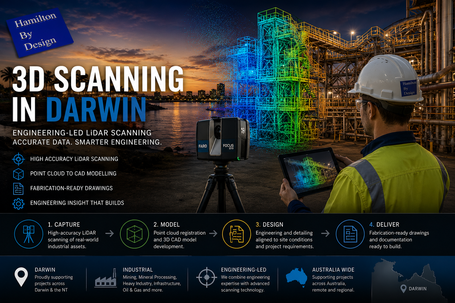
3D Laser Scanning for Shepparton Facilities
High-accuracy 3D LiDAR laser scanning provides the foundation for successful engineering projects in Shepparton.
Hamilton By Design captures precise as-built data for:
- Food processing and packaging plants
- Pump stations, pipework, and mechanical systems
- Structural steel, platforms, and access ways
- Facilities with limited or outdated drawings
3D scanning records the true as-built condition of assets — including misalignment, settlement, undocumented changes, and tight clearances — without interrupting live operations.
This allows:
- Fewer assumptions during design
- Reduced site visits
- Better shutdown and upgrade planning
- Lower risk during fabrication and installation
Learn more about our scanning services here:
3D Laser Scanning
3D Modelling from Real As-Built Data
From the point cloud, Hamilton By Design develops accurate 3D CAD models that reflect what actually exists on site.
Our 3D modelling services support:
- Brownfield plant upgrades and capacity increases
- Layout optimisation in space-constrained facilities
- Clash detection between new and existing equipment
- Modular design and off-site fabrication
- Digital asset records for future planning
In Shepparton’s food-processing environment, modelling from real data significantly reduces installation risk and helps keep production running.
Explore our modelling capability:
3D CAD Modelling
FEA for Performance, Safety, and Asset Life
Shepparton facilities often operate under high cyclic loading, thermal variation, and seasonal peak demand. Finite Element Analysis (FEA) is used to verify that existing and modified assets can safely perform under these conditions.
Hamilton By Design applies FEA to:
- Assess structural capacity and stiffness
- Check deflection, fatigue, and load paths
- Verify modifications to existing steelwork
- Support strengthening and life-extension decisions
By analysing as-built geometry, FEA results better reflect real behaviour, providing confidence in both safety and long-term performance.
Learn more about our analysis services:
FEA Capabilities
Easy-to-Build Fabrication Drawings with Engineering Approval
Clear, practical documentation is critical for Shepparton projects, where fabrication and installation often occur under tight timeframes and during short shutdown windows.
Hamilton By Design delivers easy-to-build fabrication and installation drawings, including:
- General arrangement drawings
- Fabrication and workshop details
- Installation and staging layouts
- As-built documentation
Drawings are produced directly from scanned data and validated 3D models and can be issued with engineering approval, giving fabricators and site teams confidence that components will fit, function, and comply.
View our drafting services here:
Drafting Services


Why Hamilton By Design in Shepparton?
Hamilton By Design provides a single, integrated digital engineering workflow — from site capture through to modelling, analysis, and construction documentation.
For Shepparton clients, this means:
- Reduced risk in live food-processing environments
- Better decisions before shutdowns begin
- Designs grounded in real site conditions
- Fabrication-ready drawings backed by engineering sign-off
Whether you’re upgrading food-processing plant, improving water-related infrastructure, or planning capacity increases ahead of peak season, Hamilton By Design delivers practical, build-ready engineering solutions tailored to Shepparton’s unique operational demands.
Our clients