Mechanical Engineering | 3D Scanning | 3D Modelling
Tag: fixed-plant-assets
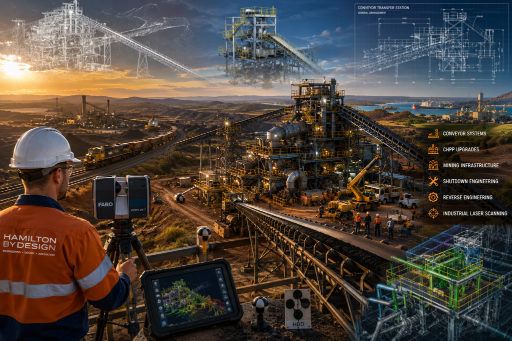
Hamilton By Design provides fixed plant engineering, 3D scanning and CAD support for mining, materials-handling and mineral-processing facilities.
Fixed plant assets can include crushers, screens, conveyors, transfer chutes, bins, tanks, pumps, pipework, platforms, walkways and supporting structures. Accurate information about these assets is essential when planning maintenance, replacement equipment and brownfield plant modifications.
Our services include 3D LiDAR scanning, as-built capture, point-cloud registration, mechanical design, scan-to-CAD modelling, fabrication drawings and installation verification. Existing equipment and surrounding structures can be captured to help identify spatial constraints, connection points, maintenance access and potential clashes.
Models and drawings can support asset upgrades, shutdown planning, equipment replacement, reverse engineering and the development of reliable digital asset records. Deliverables may include registered point clouds, 3D CAD models, general arrangements, fabrication drawings and data for AutoCAD, SolidWorks, Inventor, ReCap and Navisworks workflows.
Services are available throughout NSW, Queensland, Western Australia, the Northern Territory and other mining and industrial regions across Australia.
Processing plants around Blayney NSW often include a mix of production equipment, conveyors, transfer systems, tanks, pipework, platforms, structural steel, access areas and packaging or handling equipment. Over time, these sites change. Equipment is upgraded, pipework is rerouted, platforms are modified, guarding is added and shutdown repairs are completed.
The problem is that the drawings do not always keep up with the real plant.
For engineers, maintenance teams, shutdown planners and fabricators, this can create delays and uncertainty before a project even begins. If the existing plant layout is difficult to verify from old drawings, it becomes harder to design new work, plan shutdowns, check access or fabricate components with confidence.
Hamilton By Design provides engineering-grade 3D LiDAR scanning, scan-to-CAD modelling and mechanical design support for processing plants and industrial sites in Blayney NSW and the wider Central West region.
Why Processing Plants Need Accurate As-Built Information
Many operating plants rely on old drawings, marked-up PDFs, previous project files or site sketches. These records may still be useful, but they are not always accurate enough for current design or fabrication work.
A processing plant may have changed through:
Conveyor or transfer system upgrades
New pipework or service routes
Modified platforms, stairs and handrails
Added guarding or access systems
Equipment replacement
Structural steel changes
Shutdown repairs
Production line upgrades
Packaging or palletising changes
Maintenance modifications not captured in the final drawing set
When the drawings no longer match the plant, the team is forced to work with assumptions. That can lead to extra site visits, delayed design decisions, fabrication rework and increased shutdown risk.
How 3D LiDAR Scanning Helps
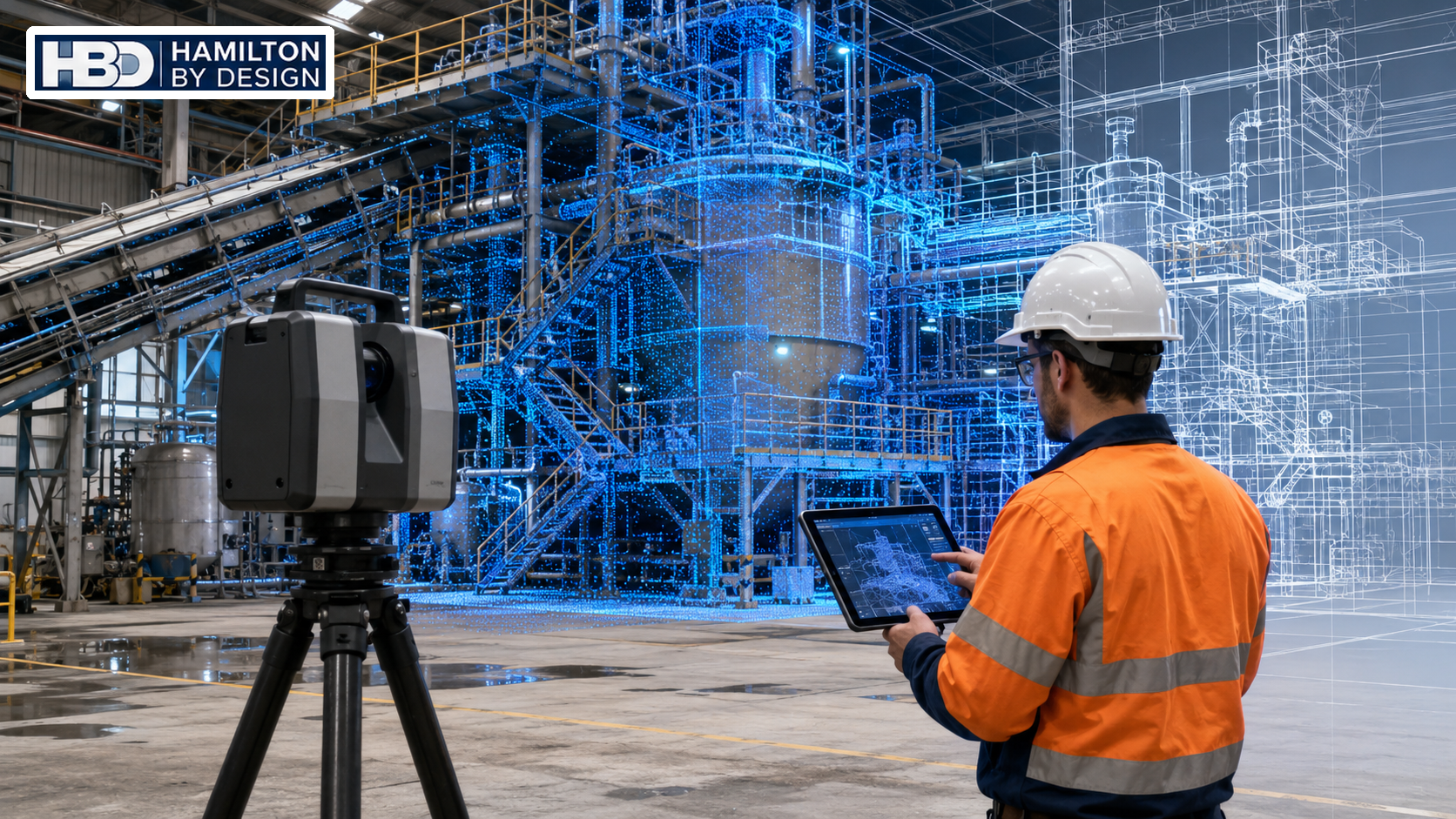
3D LiDAR scanning captures the existing plant in detail and creates a measured point cloud of the site. This gives the project team a reliable digital reference of what is actually installed.
The scan data can be used to verify layouts, check clearances, measure difficult areas, model existing structures and support engineering design.
For brownfield processing plants, this is especially useful because new work often has to fit around existing equipment, steelwork, pipework and access constraints.
3D scanning can assist with:
Plant layout verification
Shutdown planning
Mechanical design
Structural upgrades
Conveyor and transfer system reviews
Pipework routing
Access platform modifications
Clash checking
Scan-to-CAD modelling
Fabrication planning
As-built documentation
Supporting The Site Team
Poor information affects the whole team.
Engineers spend more time checking dimensions. Designers need to make assumptions. Maintenance teams are asked to confirm measurements during already busy periods. Fabricators may build from information that no longer reflects the site. Shutdown planners carry more risk when access, lifting and installation details are not fully understood.
A 3D scan helps reduce that pressure.
It gives engineers, maintenance supervisors, project managers, fabricators and contractors a shared reference point. Instead of relying only on old drawings or manual measurements, the team can review the actual site conditions from the point cloud.
This can reduce site revisits, improve communication and help identify problems before fabrication or installation begins.
Tools And Deliverables
Hamilton By Design uses 3D scanning and engineering design tools suited to industrial plant work.
Typical tools and formats may include:
FARO terrestrial laser scanning
FARO SCENE
Autodesk ReCap
E57, RCP, RCS and LAS point cloud formats
SolidWorks
AutoCAD
Inventor
Navisworks
Scan-to-CAD modelling workflows
Depending on the project, deliverables may include point cloud data, 3D CAD models, general arrangement drawings, sections, elevations, fabrication drawings or design review information.
The goal is not just to scan the plant. The goal is to turn the scan into practical engineering information the team can use.
Local Support For Blayney NSW
Blayney NSW and the surrounding Central West region include industrial, agricultural, food production, mining support and processing-related facilities. These sites often need practical engineering support when existing layouts are difficult to confirm.
Hamilton By Design can assist with 3D LiDAR scanning for processing plants, industrial facilities and brownfield upgrade projects in Blayney, Orange, Bathurst, Millthorpe and the wider Central West NSW region.
Brownfield processing plants around Orange NSW and the Central West mining region often carry years of site changes, shutdown modifications, maintenance repairs and practical site-based upgrades. Over time, the plant that exists on site can become very different from the original drawings.
For engineers, maintenance teams and project managers, this creates a serious problem.
Before a plant upgrade, conveyor modification, chute redesign, structural change or shutdown project can be completed with confidence, the design team needs to know what is actually installed. That is where engineering-grade 3D LiDAR scanning in Orange NSW becomes valuable.
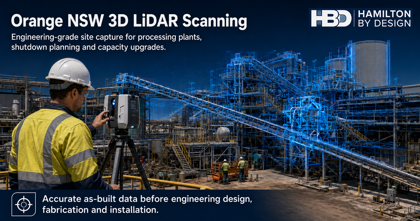
Hamilton By Design provides engineer-led 3D LiDAR scanning for processing plants, mine sites and heavy industrial facilities across Orange NSW and the Central West. The goal is simple: capture accurate as-built site data so engineering design, shutdown planning and capacity upgrade work can be based on real site conditions.
The Problem With Brownfield Processing Plants
Brownfield plants are rarely simple.
Processing plants are changed over many years to keep production running. A platform may be extended. A chute may be modified. A conveyor may be upgraded. Pipework may be rerouted. Guards, access stairs, handrails, tanks, pumps and structural supports may all change as the site grows.
The issue is that the drawings are not always updated after each modification.
This means engineers and contractors can be working from drawings that are incomplete, outdated or missing important site details. For a simple job, this may cause minor delays. For a major shutdown or capacity upgrade, it can create expensive problems.
Common issues include:
New equipment does not fit the existing space
Pipework clashes with structural steel
Platforms or handrails block installation access
Existing drawings do not match the plant
Tie-in points are not where the design expected
Fabricated parts require site rework
Shutdown tasks take longer than planned
Workers need to spend more time measuring in live plant areas
In a mining or processing environment, these problems affect more than drafting quality. They affect safety, cost, schedule and production.
Who Needs 3D LiDAR Scanning in Orange NSW?
3D LiDAR scanning is useful for any team that needs accurate site information before making engineering decisions.
For mine operators and processing plant owners, LiDAR scanning provides a reliable record of existing conditions before upgrades or shutdowns begin.
For project engineers, it gives a clear basis for design. Instead of relying only on old drawings, they can work from current site data.
For maintenance supervisors, it helps identify access constraints, equipment locations and workfront issues before trades arrive on site.
For mechanical and structural engineers, the point cloud can support design of chutes, hoppers, conveyors, platforms, walkways, pipe supports, guarding and mechanical equipment layouts.
For fitters, riggers and boilermakers, the benefit is practical. Better site data means fewer surprises during installation.
For drafting teams, the scan can be used to develop CAD models, sections, elevations and fabrication drawings.
In short, 3D scanning helps connect the real plant with the engineering design process.
What Is 3D LiDAR Scanning?
3D LiDAR scanning is a method of capturing real-world site geometry using laser measurement. A terrestrial scanner is set up in multiple positions around the plant. Each scan captures millions of measured points from visible surfaces.
These points are then registered together to create a point cloud.
A point cloud is a digital 3D record of the existing site. It can show structures, conveyors, stairs, tanks, pipework, platforms, equipment, building columns and surrounding access areas.
For engineering work, the point cloud can then be used to create:
3D CAD models
2D layout drawings
Sections and elevations
As-built documentation
Clash checks
Equipment layout studies
Fabrication references
Shutdown planning information
The key benefit is that the design team can see and measure the real plant without relying only on historical drawings.
Where This Applies Around Orange NSW
Orange NSW is part of the broader Central West / Orange mining and industrial region. The area includes mining operations, processing infrastructure, workshops, materials handling systems and heavy industrial facilities.
3D LiDAR scanning is especially useful in:
Processing plants
Concentrator areas
Conveyor systems
Transfer stations
Crusher and screening areas
Pump and pipework areas
Tank farms
Workshops
Structural platforms
Access stairs and walkways
Shutdown workfronts
Brownfield upgrade areas
The service is not limited to one type of equipment. It is most valuable anywhere the existing plant layout is complex and accurate information is needed before engineering design begins.
How The Scanning Process Works
A typical 3D LiDAR scanning workflow starts with understanding the problem.
The first step is to identify what the client needs to achieve. For example, the project may involve increasing plant capacity, replacing a chute, modifying a conveyor, installing new pipework, upgrading access platforms or checking if new equipment will fit.
Once the work area is understood, the site is scanned from multiple locations. The scanner captures visible geometry from each position. In complex plant areas, multiple scan positions are usually required so the final point cloud has enough coverage around equipment, platforms, pipework and structural steel.
After site capture, the scan data is registered. This means the individual scans are aligned into one coordinated point cloud.
From there, the data can be reviewed and used for engineering work. Depending on the project, Hamilton By Design can provide point cloud files, CAD models, mechanical layouts, structural drafting support, sections, elevations or scan-to-CAD deliverables.
The output depends on the problem being solved.
For some projects, the client may only need point cloud data to support their own design team. For others, they may need a full engineering workflow from scanning through to CAD modelling and drawing production.
Tools That Assist In Solving The Problem
The value of 3D LiDAR scanning comes from both the site capture and the engineering interpretation after the scan.
Common tools used in this workflow include:
Tool
Purpose
FARO Focus Scanner
Captures accurate terrestrial LiDAR scan data on site
FARO SCENE
Registers and processes scan data into a point cloud
Autodesk ReCap
Converts and manages point cloud files for CAD workflows
Navisworks
Supports model review, coordination and clash checking
SolidWorks
Mechanical design, modelling and equipment layout development
Inventor
Mechanical modelling and fabrication design workflows
AutoCAD
2D layouts, sections, elevations and drafting deliverables
Point Cloud Data
Provides the accurate as-built reference for design decisions
The scanner captures the plant. The software helps organise the data. The engineering process turns that data into decisions.
This is where engineer-led scanning becomes important. A scan is not just a visual record. It needs to be captured and processed in a way that supports the design outcome.
Supporting Capacity Upgrade Projects
One of the strongest reasons to use 3D LiDAR scanning is to support plant upgrades aimed at increasing capacity.
When a site wants to increase throughput, the upgrade may involve larger equipment, modified chutes, conveyor changes, new pipe routes, additional pumps, upgraded platforms or changes to access and maintenance areas.
In a brownfield plant, the available space is usually constrained.
A capacity upgrade can fail or become expensive if the new design does not properly account for what is already installed. A larger chute may clash with a platform. A conveyor upgrade may affect guarding or access. New pipework may run into structural steel. A maintenance access route may be blocked by new equipment.
3D LiDAR scanning helps reduce this risk by confirming the actual site geometry before design and fabrication.
This allows engineers to test the design against the real plant. It also helps contractors understand installation constraints before the shutdown begins.
For capacity upgrade work, LiDAR scanning can help answer questions such as:
Will the new equipment fit?
Are there clashes with existing steel or pipework?
Can the equipment be installed safely?
Is there enough access for maintenance?
What needs to be removed or modified before installation?
Can fabrication be completed with more confidence?
Are there structural or access issues that need to be addressed early?
By answering these questions before the shutdown, the company can reduce the risk of delays and rework.
The Upside For Workers
For workers, better site data means clearer planning and fewer surprises.
Fitters, riggers, boilermakers and maintenance crews are often the people who discover design problems during installation. If something does not fit, they are left to solve the issue under time pressure, often during a shutdown.
That is not ideal.
Accurate 3D scanning helps move those problems earlier in the process, where they can be dealt with during design rather than during installation.
The upside for workers includes:
Less time spent measuring complex areas by hand
Better understanding of access constraints
Clearer shutdown work packs
Reduced rework during installation
Better lift and access planning
Fewer unexpected clashes
Improved communication between engineers and trades
Less time spent in operating plant areas gathering measurements
Good site information also supports safer conversations during planning. Workers can see the work area, understand the constraints and identify issues before the job starts.
The Upside For The Company
For the company, the value is measured in reduced risk.
A processing plant shutdown can be expensive. If a design is wrong, or if fabricated parts do not fit, the cost can grow quickly. Delays can affect production, labour costs, crane time, contractor coordination and commissioning.
3D LiDAR scanning helps reduce these risks by improving the quality of information at the start of the project.
The upside for the company includes:
Better engineering decisions
Reduced design uncertainty
Fewer site clashes
Less fabrication rework
More reliable shutdown planning
Improved contractor coordination
Better as-built documentation
Faster concept development
Stronger governance around design changes
Better support for future upgrades
The point cloud can also become a useful record for future work. Once captured, it can be reused for planning, design reviews and later modifications.
Why Engineering-Grade Scanning Matters
Not all scanning is the same.
For mining and heavy industry, the scan needs to support engineering decisions. That means the capture process must consider accuracy, coverage, file formats, access constraints, site safety and the final deliverable required by the project.
A basic visual scan may look impressive, but it may not provide the right information for design.
Engineering-grade scanning focuses on practical outputs. The goal is not just to create a digital image of the plant. The goal is to support real engineering work.
That may include modelling a chute, checking conveyor clearances, developing a platform layout, producing fabrication drawings or verifying a shutdown workfront.
Hamilton By Design combines 3D LiDAR scanning with mechanical engineering and CAD capability. This means the scan can be connected directly to the design process.
Example Use Cases
A processing plant in Orange NSW may use 3D LiDAR scanning before replacing a transfer chute. The scan can capture the conveyor, structure, access platforms, surrounding steel and installation constraints. This helps the chute design fit the real plant and reduces the chance of site modifications during installation.
A shutdown team may use scanning to prepare work packs before a major outage. The point cloud can help confirm access, equipment positions and nearby clashes.
A project engineer may use scanning before a capacity upgrade. The scan can help test whether larger equipment or modified conveyors will fit within the existing plant.
A structural engineer may use the point cloud to check platform layouts, stairs, handrails and support locations before producing design documentation.
A drafting team may use scan-to-CAD workflows to create updated layouts where existing drawings are missing or unreliable.
For brownfield processing plants in Orange NSW and the Central West, accurate as-built information is one of the most important inputs into good engineering design.
Old drawings, incomplete records and years of site modifications can create risk before a project even starts. 3D LiDAR scanning helps solve that problem by capturing the real plant and turning it into usable engineering data.
For workers, this means clearer planning, fewer surprises and better shutdown preparation.
For companies, it means reduced rework, better design confidence, stronger project governance and improved support for capacity upgrades.
Hamilton By Design provides engineering-grade 3D LiDAR scanning in Orange NSW for processing plants, shutdown planning, structural upgrades and accurate as-built documentation. The result is better information before design, fabrication and installation begin.
3D LiDAR Scanning, Point Cloud Capture and BIM Modelling for Canberra Projects
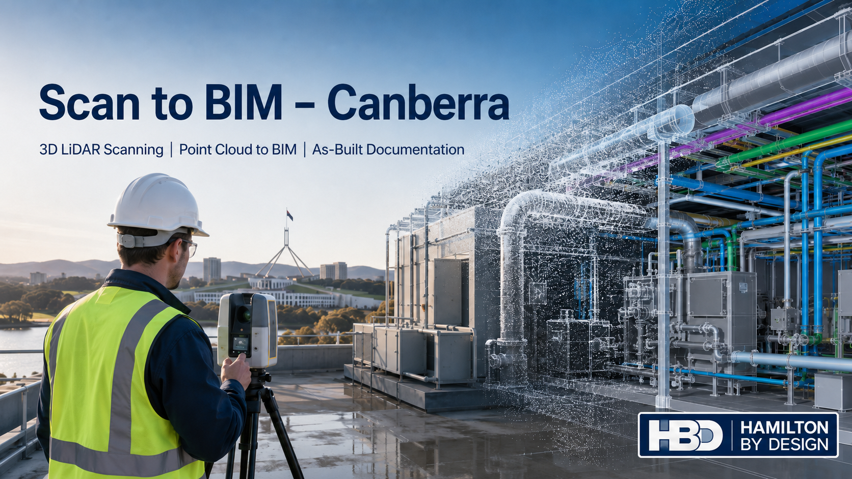
Hamilton By Design provides Scan to BIM services in Canberra for engineers, builders, architects, facility managers and asset owners who need accurate existing-condition data before design, construction, refurbishment or upgrade work begins.
Using 3D LiDAR scanning, point cloud processing and engineering-led modelling workflows, we help convert real site conditions into usable digital information for design coordination, as-built documentation, clash review and project planning.
Our Scan to BIM workflow is suited to commercial buildings, government facilities, industrial sites, plant rooms, services corridors, mechanical infrastructure, structural upgrades and brownfield construction projects across Canberra, ACT and surrounding areas.
Why Scan to BIM Matters in Canberra
Many Canberra projects involve existing buildings, complex services, ageing infrastructure or restricted access areas where drawings may be incomplete, outdated or missing altogether.
This creates risk during design and construction. Contractors may discover clashes late, mechanical services may not align with structural openings, or fabrication may be based on assumptions rather than actual site geometry.
A Scan to BIM workflow helps reduce these risks by capturing the existing site using LiDAR scanning and converting the information into usable digital models, drawings or coordination data.
For projects in Canberra, this can support:
Building refurbishments
Plant room upgrades
Mechanical services coordination
Structural drafting and detailing
Fit-out and tenancy works
Government and institutional assets
Industrial and infrastructure projects
As-built verification
Design coordination before construction
What Is Scan to BIM?
Scan to BIM is the process of capturing an existing site using 3D laser scanning or LiDAR scanning, then converting the point cloud into a Building Information Model or coordinated digital model.
The process usually includes:
Site capture using 3D LiDAR scanning
Point cloud registration and processing
Review of existing structures, services and equipment
BIM modelling or CAD modelling from the point cloud
Coordination with design, engineering or construction teams
Delivery of digital files suitable for project use
Depending on the project, deliverables may include point cloud files, Revit models, CAD files, sections, elevations, layout drawings, mechanical equipment models, structural reference geometry or design coordination outputs.
Canberra Scan to BIM Services
Hamilton By Design can support Canberra projects where accurate site data is required before design or construction decisions are made.
Our services may include:
3D LiDAR Site Scanning
We use terrestrial LiDAR scanning to capture existing site conditions. This can include buildings, plant rooms, structural steel, pipework, access platforms, equipment, mechanical services, architectural spaces and external areas.
Point Cloud Processing
The scan data is processed into registered point cloud files that can be used for measurement, review, modelling and coordination.
Common point cloud formats may include E57, RCP, RCS, LAS or other formats depending on the project requirements.
Point Cloud to BIM
Where required, the point cloud can be used to create a BIM model or project reference model. This may include walls, floors, ceilings, columns, beams, services zones, plant rooms or mechanical equipment areas.
Scan to CAD
For some engineering projects, a full BIM model may not be required. In those cases, a Scan to CAD workflow may be more suitable, producing 2D drawings, 3D CAD files, sections or layout information.
As-Built Verification
Scan data can be used to compare existing site conditions against design drawings, fabrication models or construction documentation.
Mechanical and Structural Coordination
Because Hamilton By Design is engineering-led, we focus on practical design and construction outcomes, not just visual modelling. This is useful where scan data needs to support mechanical design, structural drafting, fabrication, installation planning or shutdown work.
Engineering-Led Scan to BIM
Hamilton By Design is not just a scanning service. We combine LiDAR capture with mechanical engineering, drafting and design experience.
This means the scan data is reviewed with the project outcome in mind.
For example, a Canberra plant room scan may need to support:
New mechanical equipment layout
Pipework routing
Structural support framing
Access and maintenance clearances
Existing service coordination
Fabrication drawings
Installation planning
Construction sequencing
By combining scanning with engineering judgement, the point cloud becomes more than a large digital file. It becomes a practical tool for reducing uncertainty.
Where We Support Canberra Projects
Hamilton By Design can support Scan to BIM and 3D LiDAR scanning projects across Canberra and nearby ACT areas, including:
Canberra CBD
Fyshwick
Hume
Barton
Russell
Woden
Belconnen
Tuggeranong
Gungahlin
Mitchell
Queanbeyan
Canberra Airport precinct
Industrial and government facilities across the ACT region
Typical Scan to BIM Applications
Building Refurbishment
For older buildings or existing facilities, Scan to BIM can provide accurate site information before design work starts. This is useful when original drawings are missing, incorrect or incomplete.
Mechanical Plant Rooms
Plant rooms can be difficult to document using manual measurement alone. LiDAR scanning can capture pipework, equipment, valves, ducts, steelwork and access areas in one coordinated dataset.
Services Coordination
Scan to BIM can help designers coordinate mechanical, electrical, hydraulic and fire services in existing spaces.
Structural Upgrades
Point cloud data can support structural drafting, steel detailing, access platform design, support framing and site verification.
Government and Institutional Assets
Canberra contains many government, education, defence, commercial and public infrastructure assets. Scan to BIM can help document these facilities for upgrade, maintenance and design planning.
Construction Verification
Scanning can be used before, during or after construction to verify that installed works match the intended design.
Why Use Hamilton By Design?
Hamilton By Design provides practical, engineering-focused Scan to BIM support for Canberra projects.
We understand that clients often need more than a point cloud. They need useful information that supports decisions.
Our strengths include:
Engineer-led 3D LiDAR scanning
Mechanical engineering experience
Scan to CAD and point cloud modelling
Structural drafting support
Industrial and building services experience
Brownfield and upgrade project knowledge
Practical deliverables for design and construction teams
Related Services
For broader Canberra scanning and engineering support, see our 3D LiDAR scanning Canberra service page.
Yes. Hamilton By Design provides Scan to BIM, 3D LiDAR scanning, point cloud processing and engineering modelling support for Canberra and ACT projects.
What is the difference between Scan to BIM and Scan to CAD?
Scan to BIM usually involves converting point cloud data into a BIM model, often used for building coordination and design documentation. Scan to CAD may involve producing 2D drawings, 3D CAD models, sections or engineering layouts from the scan data. The best option depends on the project outcome.
Do I need a full BIM model?
Not always. Some projects only need a point cloud, 2D drawings, CAD geometry, equipment models or sections. Hamilton By Design can help determine the most practical level of modelling for the project.
Can Scan to BIM help if existing drawings are wrong?
Yes. Scan to BIM is useful when existing drawings are missing, outdated or unreliable. The point cloud provides a current record of the real site conditions.
What file formats can be supplied?
Depending on the project, deliverables may include E57, RCP, RCS, LAS, DWG, DXF, STEP, SAT or other agreed formats. BIM deliverables can be discussed based on the required modelling scope.
Is Scan to BIM useful for plant rooms and mechanical services?
Yes. Plant rooms, pipework corridors, equipment areas and mechanical services are strong use cases for LiDAR scanning and Scan to BIM workflows because they are often difficult to measure manually.
Do you work across Canberra and Queanbeyan?
Yes. Hamilton By Design can support projects across Canberra, the ACT region and nearby areas including Queanbeyan.
Talk to Hamilton By Design
If your Canberra project needs accurate existing-condition information, Hamilton By Design can help with 3D LiDAR scanning, point cloud capture, Scan to BIM, Scan to CAD and engineering documentation.
Contact Hamilton By Design to discuss your Canberra Scan to BIM project.
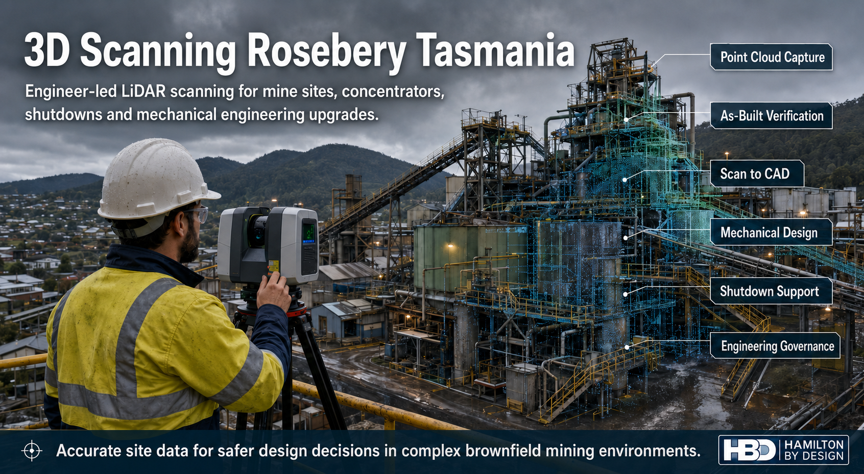
Rosebery is a working mining and processing town where engineering decisions need to be clear, traceable and practical.
On brownfield mining sites, the issue is often not just the design itself. The issue is whether the information behind the design can be trusted. Old drawings may not match the plant. Modifications may have been made during shutdowns. Fabrication details may sit across emails, markups, PDFs, contractor sketches and site knowledge held by fitters and supervisors.
Hamilton By Design supports Rosebery and Tasmania’s west coast with engineering governance documentation, mechanical engineering support, 3D laser scanning, scan-to-CAD, drafting and reverse engineering for mining, concentrator and industrial sites.
What Is Engineering Governance Documentation?
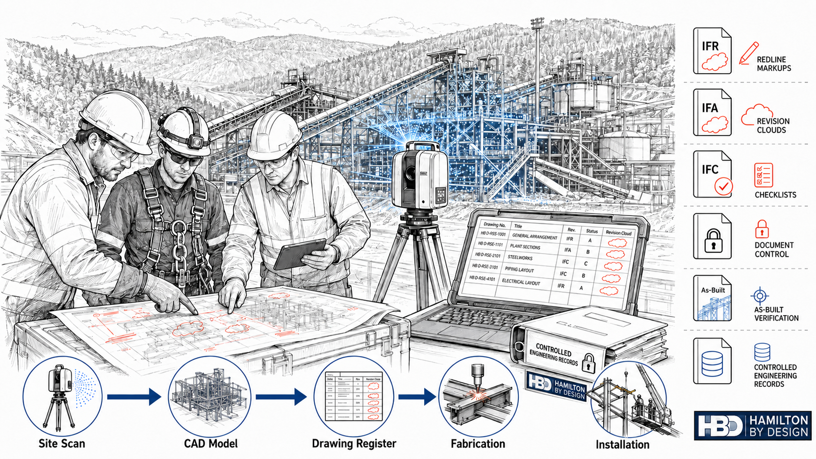
Engineering governance documentation helps show how technical decisions were made, checked and controlled.
For mining and processing sites, this may include:
drawing registers
revision control
design basis documents
site measurement records
scan-to-CAD records
engineering markups
redline drawing updates
scope clarification documents
fabrication drawing control
as-built verification
inspection records
change documentation
technical queries and responses
document transmittals
approval workflows
The goal is to reduce confusion between site, engineering, fabrication and installation teams.
Why It Matters in Rosebery
Remote mining locations can make poor documentation expensive. If the wrong drawing is used, or if a fabrication package is based on outdated information, the result can be rework, delay, unsafe access or a failed installation during a shutdown.
Engineering governance documentation helps answer important questions:
What drawing is current?
What was measured on site?
What changed from the original design?
Who reviewed the information?
What assumptions were made?
What needs client approval?
What information is still missing?
What is suitable for fabrication?
What is suitable for construction or installation?
For Rosebery mining and concentrator work, this is especially useful where plant areas have been modified over many years.
Supporting Fitters, Riggers and Maintenance Teams
Fitters, riggers and maintenance supervisors often know the plant better than anyone. They can see what has worn, what does not fit, what is hard to access and what will cause problems during installation.
Hamilton By Design helps turn that site knowledge into controlled engineering documentation.
This can include:
site inspection notes
redline markups
measured sketches
3D scan records
updated CAD drawings
fabrication-ready details
installation planning documents
clash and clearance checks
reverse engineering records
documented assumptions and exclusions
This gives the site team a clearer path from “we know there is a problem” to “we have controlled information we can act on”.
3D Scanning as a Governance Tool
3D laser scanning is not only a measurement tool. Used properly, it becomes part of the engineering record.
Hamilton By Design can capture existing plant conditions using 3D laser scanning services and use the scan data to support drawing updates, fabrication checks, design reviews and as-built verification.
This is useful for:
chute and hopper replacements
conveyor transfer point upgrades
slurry pipework changes
pump and baseplate replacement
access platform modifications
guarding changes
shutdown planning
brownfield plant upgrades
concentrator plant documentation
Mechanical Engineering and Drawing Control
Hamilton By Design provides mechanical engineering support for practical plant issues where documentation needs to support real-world fabrication and installation.
This may include:
reviewing existing drawings
identifying missing information
checking fit-up constraints
developing design options
preparing general arrangement drawings
preparing fabrication drawings
maintaining drawing registers
managing revision changes
recording design assumptions
supporting technical clarification with site teams
The aim is not paperwork for the sake of paperwork. The aim is controlled information that helps people build, install, inspect and maintain with confidence.
The reverse engineering process can be documented so that future repairs are not dependent on memory, guesswork or one-off site sketches.
Secondment and Embedded Documentation Support
For longer projects, shutdowns or ongoing plant upgrades, Hamilton By Design can also provide secondment services.
This allows experienced engineering, drafting or site-support personnel to work alongside your team to help manage technical documentation, drawing updates, site measurement records and engineering deliverables during peak workload periods.
Servicing Rosebery and Tasmania’s West Coast
Hamilton By Design can support engineering governance documentation for Rosebery and nearby Tasmanian west coast locations, including:
Tullah
Zeehan
Queenstown
Strahan
Burnie
Devonport
broader Tasmanian mining and industrial sites
Need Engineering Governance Documentation Support in Rosebery?
If your Rosebery project needs clearer drawings, controlled revisions, scan-backed as-built records, fabrication documentation or engineering support for brownfield plant changes, Hamilton By Design can assist.
Contact Hamilton By Design to discuss engineering governance documentation, mechanical engineering, 3D scanning, scan-to-CAD or secondment support for Rosebery, Tasmania.
Mechanical Engineering & 3D Scanning Rosebery Tasmania
Rosebery is a working mining town, and the work on site is practical. Fitters, riggers, maintenance crews and supervisors are often dealing with real plant problems before the drawings catch up.
A chute wears out. A pipe spool needs replacing. A pump base does not match what is on the drawing. Access is tight. Shutdown time is limited. The job needs to fit the first time.
Hamilton By Design supports Rosebery and Tasmania’s west coast with mechanical engineering, 3D laser scanning, scan-to-CAD, reverse engineering and drafting support for mining, processing and industrial sites.
Supporting Fitters, Riggers and Maintenance Teams
On brownfield sites, the people closest to the work often understand the problem best.
A fitter may know where the wear is occurring. A rigger may know where the lift or install will be difficult. A maintenance supervisor may know which parts of the plant have been modified over time.
Hamilton By Design helps turn that site knowledge into usable engineering information.
We can assist with:
site measurement and 3D scanning
scan-to-CAD modelling
mechanical drafting
reverse engineering
chute and hopper replacement
conveyor and transfer point modifications
pipework and spool development
pump, bracket and baseplate measurement
shutdown planning support
fabrication-ready drawings
3D Scanning for Rosebery Mining and Processing Sites
Rosebery’s mining and processing environment makes accurate site information important. Existing drawings may be outdated, incomplete or missing. Plant may have changed over years of maintenance, repair and modification.
3D laser scanning captures the actual site conditions before design or fabrication begins.
This can help reduce:
site rework
fabrication errors
unexpected clashes
repeat site visits
shutdown delays
uncertainty during quoting and planning
For mining and concentrator environments, scanning can be used around conveyors, transfer points, chutes, pipework, tanks, pump areas, platforms, stairs, guarding and structural interfaces.
Scan-to-CAD and Mechanical Drafting
Once the site has been scanned, Hamilton By Design can convert the captured information into practical CAD deliverables.
Depending on the job, this may include:
registered point cloud data
E57, RCP or RCS files
3D CAD models
SolidWorks or Inventor models
AutoCAD DWG layouts
general arrangement drawings
fabrication drawings
sections and elevations
clearance and clash checks
The aim is simple: provide information that helps the job move from site problem to fabrication, installation or engineering review.
Mechanical Engineering Support for Concentrator Plant Work
Rosebery includes underground mining and onsite processing, with production of zinc, copper and lead concentrates, as well as gold and silver.
For concentrator and mineral processing work, Hamilton By Design can support:
crushing and grinding area modifications
flotation plant access and layout checks
slurry pipework and pump arrangements
chute and liner replacement
conveyor upgrades
transfer point improvements
platform, stair and access changes
guarding and maintenance access reviews
brownfield plant modifications
This type of work often needs a mix of practical trade understanding, site capture, CAD modelling and mechanical engineering judgement.
Secondment Support for Rosebery Projects
For longer shutdowns, ongoing upgrades or peak workload periods, Hamilton By Design can also provide support through secondment.
This allows experienced engineers, designers, draftspersons, fitters, fabricators and riggers to support your team directly during planning, site measurement, drawing updates, fabrication support or project delivery.
Hamilton By Design can support Rosebery and nearby west coast locations, including:
Tullah
Zeehan
Queenstown
Strahan
Burnie
Devonport
broader Tasmanian mining and industrial sites
Need Mechanical Engineering or 3D Scanning Support in Rosebery?
If you are planning maintenance, shutdown work, fabrication, reverse engineering or plant modification in Rosebery, Hamilton By Design can help capture the site accurately and turn that information into practical engineering deliverables.
Contact Hamilton By Design to discuss your Rosebery site capture, mechanical engineering, scan-to-CAD or secondment support requirements.
Engineering-Grade LiDAR Scanning for Ports, Bulk Handling and Brownfield Shiploader Upgrades
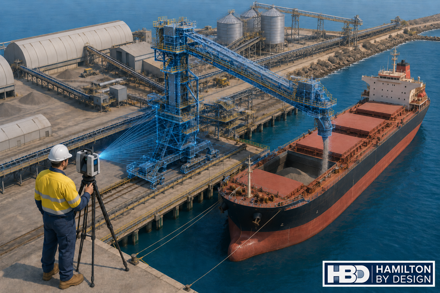
Hamilton By Design provides shiploader 3D scanning in Perth for port operators, bulk handling facilities, engineers, fabricators and maintenance teams working with ageing shiploaders, conveyors, chutes, booms, wharf structures and access platforms.
Shiploaders are large, complex and difficult assets to modify safely. They operate in harsh marine environments, often handling abrasive bulk materials such as minerals, grain, fertiliser, alumina, coal, ore or other export products. Over time, these machines are repaired, strengthened, modified and upgraded. The problem is that the drawings do not always keep up with the real asset.
That creates risk.
When a port operator needs to replace a chute, modify a conveyor, inspect a boom, upgrade access platforms, install guarding, check clearances or plan a shutdown, the team needs accurate existing-condition data. If the project starts with old drawings or incomplete site measurements, the risk of fabrication errors, installation clashes and shutdown delays increases quickly.
Hamilton By Design uses engineering-grade LiDAR scanning to capture accurate site geometry before design, fabrication or shutdown work begins. The scan data can then be used for point cloud review, Scan-to-CAD modelling, clash checking, general arrangement drawings, fabrication support and as-built documentation.
For broader Western Australian site capture and engineering support, see our 3D Scanning Perth services.
Why Shiploader 3D Scanning Matters
A shiploader is not a simple conveyor. It is a complete mechanical, structural and operational system. A typical shiploader may include boom structures, conveyor galleries, transfer chutes, hoppers, skirts, drives, pulleys, take-up systems, dust control equipment, hydraulic systems, electrical routes, access platforms, walkways, stairs, handrails, guarding, rails, wharf interfaces and surrounding port infrastructure.
Many of these areas are difficult to measure manually. Some areas are elevated. Some are close to operating plant. Some are affected by corrosion, impact damage, product build-up, wear or previous modifications. Manual measurement may be suitable for small items, but it is often not enough when the design team needs to understand how the whole asset fits together.
3D scanning captures millions of measured points across the shiploader and surrounding infrastructure. The result is a digital point cloud that can be measured, reviewed and converted into usable engineering deliverables.
This is especially valuable for brownfield port environments where the installed condition often differs from the original drawings.
The Biggest Problem: Inaccurate As-Built Data
The biggest problem for port operators and engineers is that ageing shiploaders often do not have accurate as-built data.
Original drawings may exist, but they may no longer reflect the current condition of the machine. Over many years, shiploaders are maintained, repaired and modified. Chutes are replaced. Guards are added. Platforms are changed. Steelwork is strengthened. Conveyor components are adjusted. Services are rerouted. Dust control systems are modified. Access systems are upgraded.
Each change may make sense at the time, but unless the drawings are updated properly, the asset slowly drifts away from the documentation.
This creates problems when new work is planned.
An engineer may design a replacement chute based on old drawings, only to find that the surrounding structure has changed. A fabricator may manufacture a component that clashes with existing steelwork. A shutdown team may plan an installation sequence without knowing that access is restricted. A maintenance team may discover during the shutdown that the lifting path is blocked.
For a shiploader, these problems can become expensive quickly. Shutdown windows are limited. Port operations are time-sensitive. Fabrication rework can delay installation. A small measurement error can become a major site issue.
3D scanning helps reduce this risk by capturing the real installed condition before design and fabrication decisions are made.
Who Uses Shiploader 3D Scanning?
Shiploader 3D scanning is useful for several project groups.
Port operators use scan data to understand existing assets, plan maintenance and reduce shutdown risk.
Mechanical engineers use point clouds and CAD models to design chute modifications, conveyor interfaces, guards, brackets, transfer points and replacement components.
Structural engineers use scan data to review steelwork, access platforms, stairs, handrails, supports, boom structures and wharf interfaces.
Fabricators use accurate geometry to reduce site fit-up problems and improve confidence before manufacturing.
Maintenance planners use scan data to plan access, lifting, removal sequences and installation work before the asset is taken offline.
EPCM contractors use point cloud information for design coordination, clash checking and constructability review.
Bulk handling operators use scan data to support conveyors, transfer towers, shiploaders, wharf structures and associated plant.
What Can Be Scanned?
Hamilton By Design can scan shiploader and port infrastructure elements including:
Shiploader boom structures
Conveyor galleries
Transfer chutes
Hoppers and skirts
Belt feeders
Drive stations
Pulley areas
Take-up systems
Dust extraction systems
Spray systems
Access platforms
Walkways and stairs
Handrails and guarding
Wharf structures
Rail interfaces
Structural supports
Pipework and services
Cable trays and equipment routes
Maintenance access zones
Adjacent conveyors and transfer points
The aim is not just to create a visual record. The aim is to produce engineering information that can support real project decisions.
Where We Support Shiploader 3D Scanning
Hamilton By Design supports shiploader 3D scanning and port infrastructure projects across Perth and Western Australia, including Perth, Fremantle, Kwinana, Henderson, Cockburn Sound, Rockingham, Bunbury, Geraldton, Port Hedland, Karratha and regional WA bulk handling facilities.
The page focus is Shiploader 3D Scanning Perth, but the same workflow can support port and bulk handling infrastructure across Western Australia.
Perth is a practical engineering base for this work because many WA port, mining, processing and bulk handling projects are planned, managed and engineered from Perth, even when the assets themselves are located across regional WA.
How the 3D Scanning Process Works
1. Project Review
The first step is understanding why the scan is required.
A scan for chute replacement is different from a scan for access platform upgrades. A scan for shutdown planning is different from a scan for fabrication verification. Before scanning begins, Hamilton By Design reviews the project objective, required deliverables, areas of interest and level of detail required.
This helps make sure the scan captures the information that the engineering, maintenance or fabrication team actually needs.
2. Site Walkdown and Scan Planning
The shiploader and surrounding work areas are reviewed to identify key scan locations. The aim is to capture the asset with enough coverage and overlap to produce a reliable point cloud.
Important areas may include transfer points, boom sections, conveyor routes, access platforms, drive areas, structural supports, wharf interfaces and installation paths.
Safety and access requirements are also considered, especially around live plant, elevated work areas, marine environments and shutdown conditions.
3. LiDAR Site Capture
Hamilton By Design uses terrestrial LiDAR scanning to capture the asset. The scanner records millions of measured points, creating a detailed point cloud of the shiploader and surrounding infrastructure.
This method is faster and more complete than relying on manual measurements for large and complex brownfield assets.
4. Point Cloud Registration
After scanning, the scan data is registered into a coordinated point cloud. This creates a single usable dataset that can be opened, reviewed, measured and used for downstream modelling.
Typical point cloud deliverables may include E57, RCP, RCS or LAS files.
These files can support engineering review, CAD modelling, coordination and documentation.
5. Engineering Review
Once the point cloud is prepared, engineers and designers can review the captured asset. They can check clearances, confirm interfaces, measure existing geometry and identify areas that may affect design, fabrication or installation.
This is where engineering-led scanning becomes valuable. Hamilton By Design understands how scan data is used for design, fabrication, maintenance and brownfield modification work.
6. Scan-to-CAD Modelling
Where required, the point cloud can be converted into CAD models or drawings. This may include mechanical components, structural steel, platforms, chutes, guards, conveyor interfaces or general arrangement layouts.
For more detailed point cloud conversion support, see our Scan to CAD Perth services.
7. Drawings and Deliverables
Depending on the project, Hamilton By Design can provide registered point clouds, 2D plans, sections, elevations, general arrangement drawings, 3D CAD models, STEP files, SAT files, Parasolid files, DWG drawings, fabrication drawings, as-built documentation and clash review models.
The deliverables are selected based on the project need. Some clients only require point cloud data. Others require a full scan-to-CAD workflow with engineering drawings and fabrication support.
Tools That Assist Shiploader 3D Scanning
Hamilton By Design uses practical digital engineering tools suitable for industrial, port and bulk handling environments.
These may include FARO Focus terrestrial LiDAR scanning, FARO SCENE point cloud registration, Autodesk ReCap for RCP and RCS workflows, AutoCAD for plans and sections, SolidWorks for mechanical modelling, Autodesk Inventor for mechanical assemblies and Navisworks for coordination and clash checking.
Deliverable formats may include E57, RCP, RCS, LAS, DWG, STEP, SAT and Parasolid.
The purpose of these tools is to move the project from site capture to usable engineering information.
Hamilton By Design can support shiploader and port infrastructure projects with engineering-grade 3D laser scanning, point cloud registration, Scan-to-CAD modelling, mechanical engineering support, structural drafting, as-built documentation, fabrication drawings and shutdown planning support.
Our work can assist with chute modifications, conveyor interfaces, guarding, brackets, access platforms, walkways, stairs, handrails, support frames, replacement components and surrounding infrastructure.
For broader design and engineering capability in Western Australia, see our Perth engineering services page.
Common Shiploader Project Problems We Help Solve
Hamilton By Design can assist when existing drawings are missing, outdated or unreliable.
We can also assist when a chute needs to be replaced, a conveyor interface needs to be checked, a boom structure needs to be documented, access platforms need modification, new guarding is being installed, fabricated parts need accurate site geometry or shutdown work needs better planning.
Shiploader projects often fail because the project team discovers the real site condition too late. A point cloud gives engineers, fabricators and maintenance teams a better understanding before work moves too far into design or fabrication.
Example Use Case: Chute and Conveyor Upgrade
A common shiploader problem is a transfer chute or conveyor interface that needs modification.
The original drawing may show the design intent, but the installed condition may have changed. There may be additional steelwork, modified guards, worn liners, dust control equipment, services or access restrictions.
By scanning the area first, Hamilton By Design can capture the surrounding geometry and provide accurate information for the design team.
This helps engineers confirm available space, model replacement components, check access, reduce clashes and improve fabrication accuracy.
The result is a better chance that the new work will fit during the planned shutdown.
Example Use Case: Access Platform Modification
Shiploaders often require access improvements for inspection, maintenance and safety. This may involve stairs, platforms, handrails, ladders, guards or local structural modifications.
A scan can capture the existing structure and surrounding obstructions so that new access systems can be designed around real site conditions.
This is particularly useful when the asset has been modified over many years and the original access drawings are no longer reliable.
Example Use Case: Shutdown Planning
Shutdown time is expensive. Every hour matters.
By scanning the shiploader before the shutdown, project teams can inspect the asset digitally, measure key areas, plan removal paths, check lifting constraints, model replacement components and identify potential clashes before work begins.
This does not remove every risk, but it gives the project team better information before the asset is taken offline.
Why Engineering-Led Scanning Is Different
Not all 3D scanning is the same.
For a shiploader project, the value is not just in capturing a point cloud. The value is in understanding what the point cloud is needed for.
A survey-only approach may capture the site, but an engineering-led approach considers how the information will be used for design, fabrication, installation and maintenance.
Hamilton By Design combines LiDAR scanning with mechanical engineering, drafting and fabrication-aware modelling. That means the scan is planned around the downstream engineering outcome, not just the visual capture.
This is important for port assets because the cost of getting it wrong can be high. A small clash, incorrect bracket location, missed access constraint or outdated drawing can create real shutdown delays.
Shiploader 3D scanning is the process of using LiDAR scanning equipment to capture accurate three-dimensional data of a shiploader and its surrounding infrastructure. The scan creates a point cloud that can be measured, reviewed and converted into CAD models or drawings.
Why scan a shiploader before an upgrade?
A shiploader should be scanned before an upgrade because existing drawings are often outdated or incomplete. Scanning captures the real installed condition, helping engineers reduce assumptions before design, fabrication and shutdown work begins.
What parts of a shiploader can be scanned?
Hamilton By Design can scan boom structures, conveyors, transfer chutes, hoppers, guards, access platforms, stairs, handrails, wharf interfaces, drives, pulleys, services, dust control systems and surrounding port infrastructure.
Can scan data be converted into CAD drawings?
Yes. Point cloud data can be converted into 2D drawings, 3D CAD models, general arrangement drawings, sections, elevations and fabrication drawings, depending on the project requirements.
What file formats can be supplied?
Typical deliverables may include E57, RCP, RCS, LAS, DWG, STEP, SAT and Parasolid formats. The final format depends on the client’s software and required workflow.
Is shiploader scanning useful for shutdown planning?
Yes. Scanning before a shutdown helps teams check clearances, plan installation paths, identify clashes, review access and reduce the risk of discovering problems after the asset is offline.
Can 3D scanning help with chute replacement?
Yes. Chute replacement is one of the best uses for 3D scanning. The scan captures the surrounding structure, conveyor interfaces, access restrictions and existing geometry so the replacement chute can be designed with better information.
Does Hamilton By Design only work in Perth?
No. Hamilton By Design supports projects across Perth and Western Australia, including Fremantle, Kwinana, Henderson, Bunbury, Geraldton, Port Hedland, Karratha and regional bulk handling sites.
Shiploader 3D Scanning Perth
If you are planning a shiploader upgrade, chute replacement, conveyor modification, access platform change, shutdown project or port infrastructure review, accurate as-built information is the best place to start.
Hamilton By Design provides shiploader 3D scanning Perth services for port operators, engineers, fabricators and maintenance teams working across Perth and Western Australia.
By combining engineering-grade LiDAR scanning, point cloud registration, Scan-to-CAD modelling, mechanical engineering and drafting support, Hamilton By Design helps project teams reduce assumptions, improve fabrication accuracy and plan brownfield work with greater confidence.
Contact Hamilton By Design to discuss your shiploader, conveyor, chute, wharf or port infrastructure scanning requirements.
To provide the best experiences, we use technologies like cookies to store and/or access device information. Consenting to these technologies will allow us to process data such as browsing behaviour or unique IDs on this site. Not consenting or withdrawing consent, may adversely affect certain features and functions.
Functional
Always active
The technical storage or access is strictly necessary for the legitimate purpose of enabling the use of a specific service explicitly requested by the subscriber or user, or for the sole purpose of carrying out the transmission of a communication over an electronic communications network.
Preferences
The technical storage or access is necessary for the legitimate purpose of storing preferences that are not requested by the subscriber or user.
Statistics
The technical storage or access that is used exclusively for statistical purposes.The technical storage or access that is used exclusively for anonymous statistical purposes. Without a subpoena, voluntary compliance on the part of your Internet Service Provider, or additional records from a third party, information stored or retrieved for this purpose alone cannot usually be used to identify you.
Marketing
The technical storage or access is required to create user profiles to send advertising, or to track the user on a website or across several websites for similar marketing purposes.