

Professional 3D LiDAR Scanning for Heritage Buildings in Brisbane, Queensland
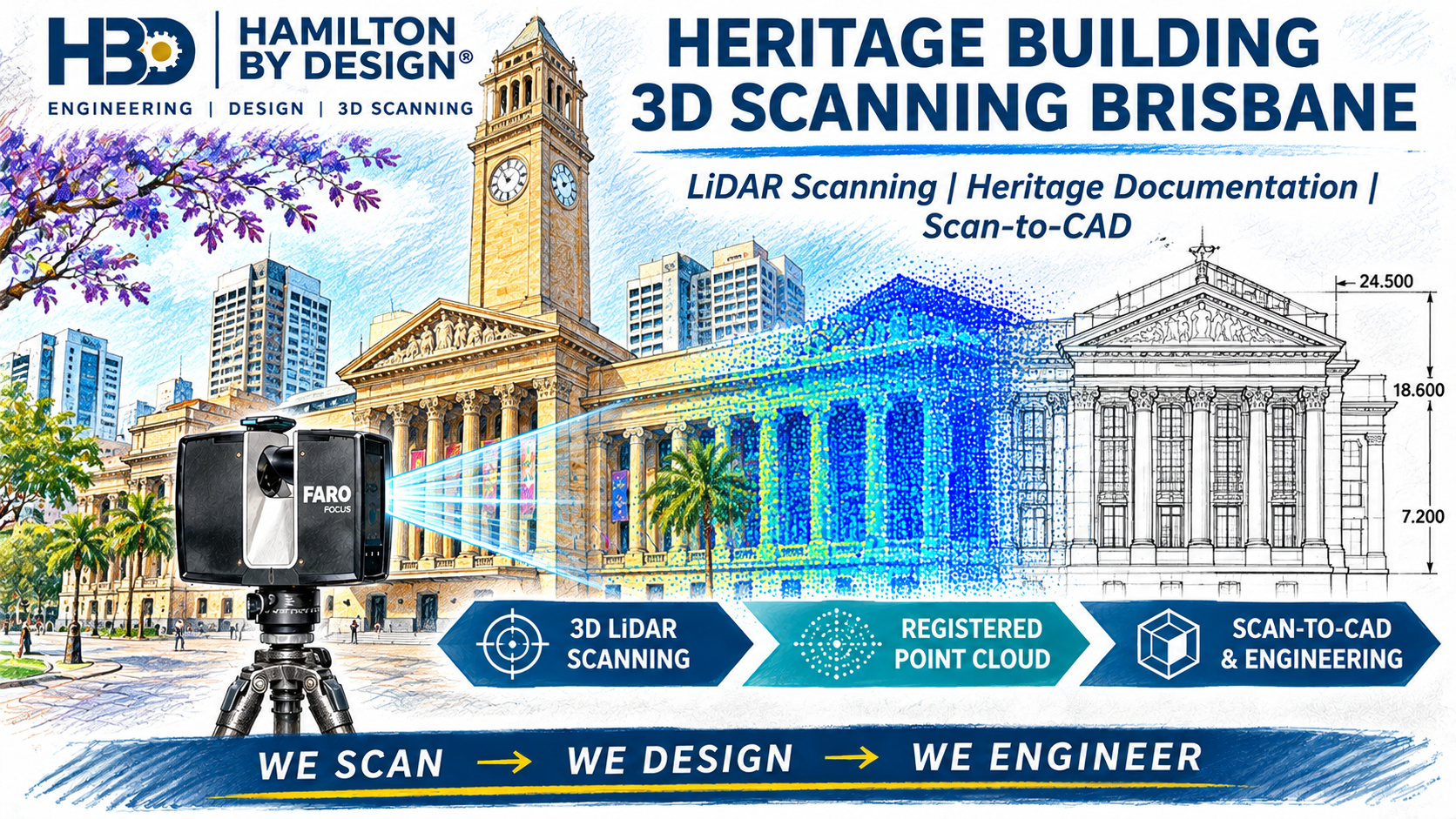
Hamilton By Design provides professional heritage building 3D scanning services in Brisbane and throughout Southeast Queensland, supporting architects, engineers, heritage consultants, restoration contractors and property owners with accurate digital documentation of existing structures.
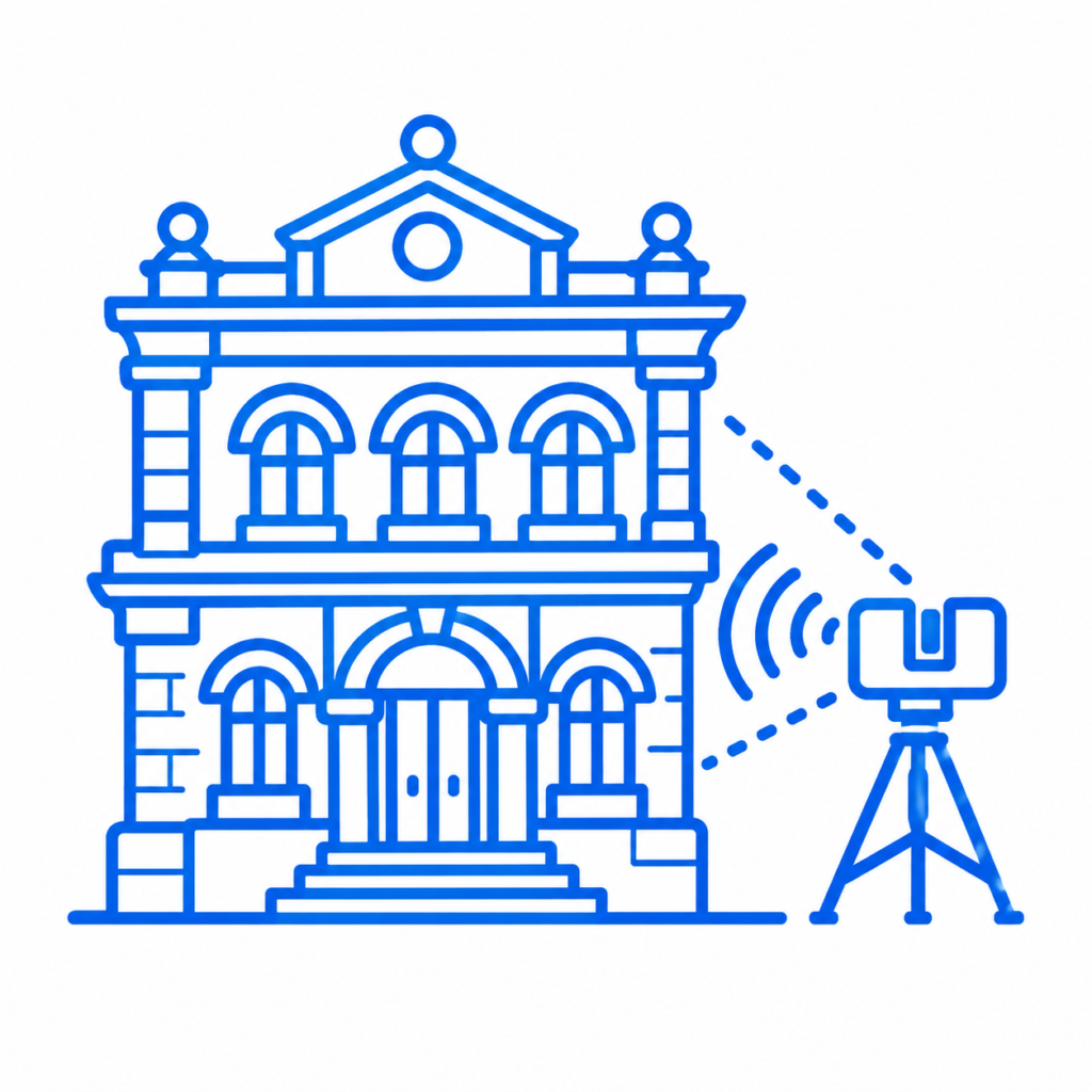
Using engineering-grade FARO Focus terrestrial LiDAR scanning technology, we capture detailed spatial information from historic buildings, including sandstone façades, brick masonry, timber structures, architectural features, roof geometry, internal spaces and accessible structural elements.
Brisbane has a diverse collection of historic buildings, ranging from nineteenth-century sandstone public buildings and traditional Queenslanders to heritage-listed commercial premises, industrial warehouses and civic structures.
Many of these buildings contain irregular geometry, undocumented alterations and construction materials that require careful consideration before restoration, refurbishment or adaptive reuse.
Our integrated approach combines 3D LiDAR scanning, registered point cloud data, scan-to-CAD modelling and engineering design to establish reliable dimensional information for heritage conservation and subsequent design activities.
We Scan → We Design → We Engineer
Why Use 3D LiDAR Scanning for Heritage Buildings in Brisbane?
Historic buildings frequently present dimensional challenges that differ from those encountered in modern construction.
Traditional masonry walls may be irregular, timber structures may have experienced movement, and architectural details may not correspond with available drawings.
Original documentation can also be incomplete, outdated or unavailable.
Terrestrial 3D LiDAR scanning addresses these challenges by capturing millions of spatial measurements and producing a detailed three-dimensional point cloud representing visible building surfaces.
Applications include:
- Heritage building conservation and restoration planning.
- Existing-condition surveys before refurbishment.
- Sandstone and brick façade documentation.
- Traditional Queenslander and timber building measurement.
- Historic roof structure documentation.
- Structural engineering investigations.
- Adaptive reuse and building modification projects.
- Architectural elevations, sections and floor plans.
- Scan-to-CAD and digital building modelling.
- Replacement architectural component design.
- Pre-construction dimensional documentation.
The resulting point cloud provides architects, engineers and restoration contractors with a measurable digital reference for understanding existing building geometry.
Unlike conventional contact measurement methods, terrestrial LiDAR scanning can capture complex architectural features from accessible scanning positions while minimising physical contact with sensitive heritage materials.
Heritage Façade 3D Scanning Brisbane
Brisbane’s historic architecture includes sandstone civic buildings, decorative brick façades, traditional timber construction and substantial nineteenth- and twentieth-century commercial structures.
These buildings may incorporate intricate cornices, columns, arches, parapets, window surrounds and ornamental details that are difficult to measure accurately using conventional methods.
Hamilton By Design provides heritage façade scanning to document existing geometry and support restoration, refurbishment and engineering design.
Sandstone and Masonry Documentation
Detailed capture of sandstone blocks, masonry profiles, architectural features and existing surface geometry to assist conservation planning and the design of replacement components.
Historic Window and Door Openings
Accurate measurement of irregular openings and surrounding masonry to support replacement windows, doors, frames and architectural fittings.
Decorative Architectural Features
Three-dimensional documentation of cornices, arches, parapets, columns and other complex architectural elements.
Façade Refurbishment
Existing-condition surveys to support façade repairs, restoration planning, engineering drawings and building modifications.
Structural Assessment Support
Provision of measured geometry to assist structural engineers in reviewing existing structural arrangements and identifying dimensional irregularities.
Heritage Condition Documentation
Establishment of a digital geometric baseline for future comparison, subject to suitable survey control and repeat measurement procedures.
Complex façades may require multiple scanner positions to reduce areas obscured from the scanner’s line of sight.
3D Scanning for Brisbane’s Historic Sandstone Buildings
Brisbane contains several prominent examples of sandstone architecture, including the Old Government House precinct, historic government buildings and traditional institutional structures.
Sandstone heritage buildings can present challenges associated with weathering, irregular stone geometry, historic repairs and the integration of new building services.
Three-dimensional LiDAR scanning can assist project teams by providing detailed measurements of accessible building surfaces.
Typical applications include:
- Sandstone façade measurement.
- Documentation of existing masonry profiles.
- Architectural elevation development.
- Replacement stone component modelling.
- Existing-condition records before restoration.
- Structural modification planning.
- Interface measurements for new fabricated components.
Registered point cloud data can subsequently be used to develop CAD geometry and technical drawings for architectural and engineering applications.
3D Scanning for Traditional Queenslander Buildings
Traditional Queenslander buildings are an important part of Brisbane’s architectural character.
These structures commonly incorporate elevated timber floors, verandahs, timber framing, pitched roofs, decorative joinery and complex relationships between original construction and later modifications.
Accurate dimensional documentation is particularly valuable where refurbishment, extension, raising or structural modifications are proposed.
Hamilton By Design can capture accessible building geometry to support:
- Existing floor and wall arrangements.
- Verandah and balcony geometry.
- Timber framing and structural interfaces.
- Roof geometry and support arrangements.
- Building extensions and refurbishment.
- Structural modification design.
- Existing-condition CAD drawings.
Scanning provides a dimensional reference for subsequent design activities, although concealed structural elements and inaccessible spaces require separate investigation where relevant.
Heritage Building Restoration & Adaptive Reuse
Heritage restoration and adaptive reuse projects require an understanding of existing building conditions before replacement components, new services or structural modifications can be designed.
Historic buildings may have experienced settlement, movement, weathering and numerous alterations over their service life.
Consequently, existing dimensions may differ significantly from original construction drawings or nominal design assumptions.
Hamilton By Design uses registered LiDAR point cloud data to establish measured existing conditions and support engineering and CAD activities.
Restoration and adaptive reuse applications include:
Historic Commercial Buildings
Documentation of existing floors, walls, façades and structural arrangements before refurbishment or conversion.
Industrial Heritage Buildings
Scanning of historic warehouses, factories and industrial structures to support adaptive reuse and engineering modifications.
Sandstone and Brick Restoration
Measurement of existing masonry and architectural profiles to assist the design of replacement components.
Structural Modifications
Existing-condition capture to support the design and coordination of new steelwork, platforms, support structures and building interfaces.
Mechanical Services Upgrades
Scanning of existing spaces and service routes to assist with the integration of new mechanical equipment, pipework and associated building services.
Architectural Restoration
Creation of elevations, sections and three-dimensional models based on measured building geometry.
By integrating scanning with engineering design, project teams can reduce dimensional uncertainty and improve coordination between existing structures and proposed modifications.
Scan-to-CAD Modelling for Heritage Buildings
Hamilton By Design provides more than terrestrial laser scanning.
As an engineering and design consultancy, we can convert registered point cloud information into CAD geometry, three-dimensional models and technical drawings suited to the requirements of architects, engineers, builders and fabrication contractors.
Our workflow integrates:
3D LiDAR Scanning → Point Cloud Registration → CAD Modelling → Engineering Design
Depending on the agreed project scope, deliverables may include:
- Existing-condition floor plans.
- Building elevations and cross-sections.
- Simplified three-dimensional building models.
- Existing structural arrangement drawings.
- Detailed architectural component geometry.
- Mechanical and structural interface models.
- Fabrication and installation drawings.
- Engineering design models.
- CAD geometry for consultant coordination.
Working directly from registered scan data allows proposed modifications to be assessed against measured building geometry.
This is particularly beneficial for heritage buildings where irregular construction and undocumented changes can complicate conventional design workflows.
Heritage Building Point Cloud Deliverables
Hamilton By Design can provide registered point cloud data and CAD deliverables in formats compatible with commonly used architectural and engineering software.
| File Format | Typical Application |
|---|---|
| .E57 | Registered point cloud exchange between scanning and modelling platforms |
| .RCP / .RCS | Autodesk ReCap, AutoCAD and compatible design workflows |
| .LAS | Point cloud data exchange and spatial analysis |
| .DWG / .DXF | CAD drawings, elevations and sections |
| .STEP | Three-dimensional CAD geometry exchange |
| Architectural and engineering drawings |
The selection of deliverables depends on the intended use of the data, required level of detail and agreed project scope.
Where BIM or Revit-compatible models are required, modelling methodology and information requirements should be established before commencement.
Engineering-Led Heritage Building Documentation
A distinguishing capability of Hamilton By Design is the integration of 3D LiDAR scanning with mechanical engineering, CAD modelling and technical drafting.
Heritage projects often require more than the collection of dimensional data.
Architects and engineers may need to understand how new structural elements, fabricated components, access systems or mechanical services will interface with an existing building.
Our engineering-led approach allows captured geometry to be used directly in the development of practical design solutions.
Engineering applications include:
- Replacement steelwork and structural interfaces.
- Mechanical equipment and services modifications.
- Access platforms and maintenance systems.
- Existing roof and support arrangements.
- Fabricated architectural components.
- Refurbishment and adaptive reuse projects.
- Dimensional verification before fabrication.
- Engineering coordination within constrained existing spaces.
Where specialist heritage conservation advice, structural certification or statutory approvals are required, these must be provided by appropriately qualified professionals within the relevant project scope.
Professional engineering services in Queensland are undertaken subject to applicable registration requirements, including the Registered Professional Engineer of Queensland (RPEQ) framework.
Non-Contact Scanning of Sensitive Heritage Structures
Heritage conservation requires careful consideration of the physical condition and historical significance of existing building materials.
Terrestrial LiDAR scanning is a non-contact measurement technique, making it suitable for documenting fragile masonry, deteriorated architectural elements and sensitive surfaces.
Scanning can often be undertaken from accessible positions without requiring physical measurement of every architectural feature.
However, elevated access may be necessary where roof details, parapets or architectural features are obscured from ground-level scanning positions.
Our scanning methodology considers:
- Building accessibility and occupancy.
- Public and pedestrian movements.
- Heritage material sensitivity.
- Scanner line-of-sight limitations.
- Working at heights and elevated access requirements.
- Site safety and operational constraints.
- Environmental and weather conditions.
External scanning is scheduled around suitable weather conditions because rainfall can affect LiDAR measurement quality.
Where appropriate, scanning can be coordinated outside normal operating hours to minimise disruption to occupants and surrounding activities.
Heritage Building Scanning Across Brisbane & South East Queensland
Hamilton By Design provides heritage building 3D scanning services for projects throughout Brisbane and the surrounding region.
Service areas include:
- Brisbane CBD.
- Spring Hill.
- Fortitude Valley.
- New Farm and Teneriffe.
- South Brisbane and West End.
- Kangaroo Point.
- Paddington and Red Hill.
- Petrie Terrace.
- Woolloongabba.
- Newstead and Bowen Hills.
- Toowong and Indooroopilly.
- Ipswich.
- Logan.
- Moreton Bay.
- Gold Coast.
- South East Queensland.
Our services are suitable for individual heritage properties, historic commercial buildings, industrial heritage facilities and larger restoration or adaptive reuse projects.
Project scheduling and mobilisation arrangements are established according to site requirements, building accessibility and the proposed scanning scope.
Why Choose Hamilton By Design?
Engineering and CAD Expertise
Our engineering background allows us to understand how captured building geometry will be used in subsequent design, fabrication and construction activities.
Professional Terrestrial LiDAR Scanning
We use FARO Focus terrestrial laser scanning technology to capture detailed existing-condition geometry.
Integrated Scan-to-CAD Services
Registered point cloud data can be developed into CAD models, elevations, sections and technical drawings.
Flexible Digital Deliverables
We provide point cloud and CAD formats suited to architectural, engineering and construction workflows.
Heritage Restoration Support
Our services assist with the documentation of historic building features, structural interfaces and replacement components.
Australia-Wide Project Capability
Hamilton By Design provides professional scanning and engineering services for projects throughout Australia, including Brisbane and South East Queensland.
Request a Heritage Building 3D Scanning Quotation in Brisbane
Planning the restoration, conservation, refurbishment or adaptive reuse of a heritage building in Brisbane?
Hamilton By Design can assist with accurate existing-condition documentation, registered point cloud data and engineering-led CAD modelling.
Whether your project involves a historic sandstone façade, a traditional Queenslander, an industrial heritage building or structural modifications to an existing property, we can discuss an appropriate scanning and documentation scope.
Contact Hamilton By Design to discuss your heritage building 3D scanning requirements.
Hamilton By Design
Contact Us – Talk To Us
Our clients:

















Engineering-Grade 3D LiDAR Scanning | Scan-to-CAD | Mechanical Engineering
We Scan → We Design → We Engineer