Scan to CAD Port of Brisbane
Engineering-Grade 3D LiDAR Scanning and CAD Modelling for Port Facilities

Port facilities are complex industrial environments containing wharves, container terminals, conveyors, ship-loading equipment, cranes, structural steel, pipework, access systems and marine infrastructure.
Over time, port equipment may be repaired, reinforced, relocated, replaced or modified without every change being accurately reflected in the original drawings.
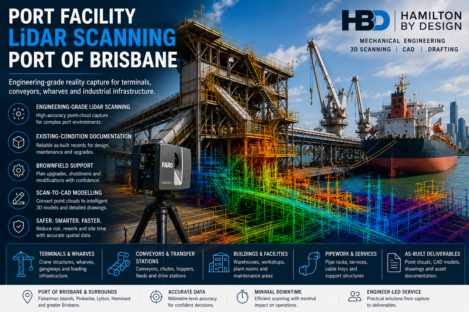
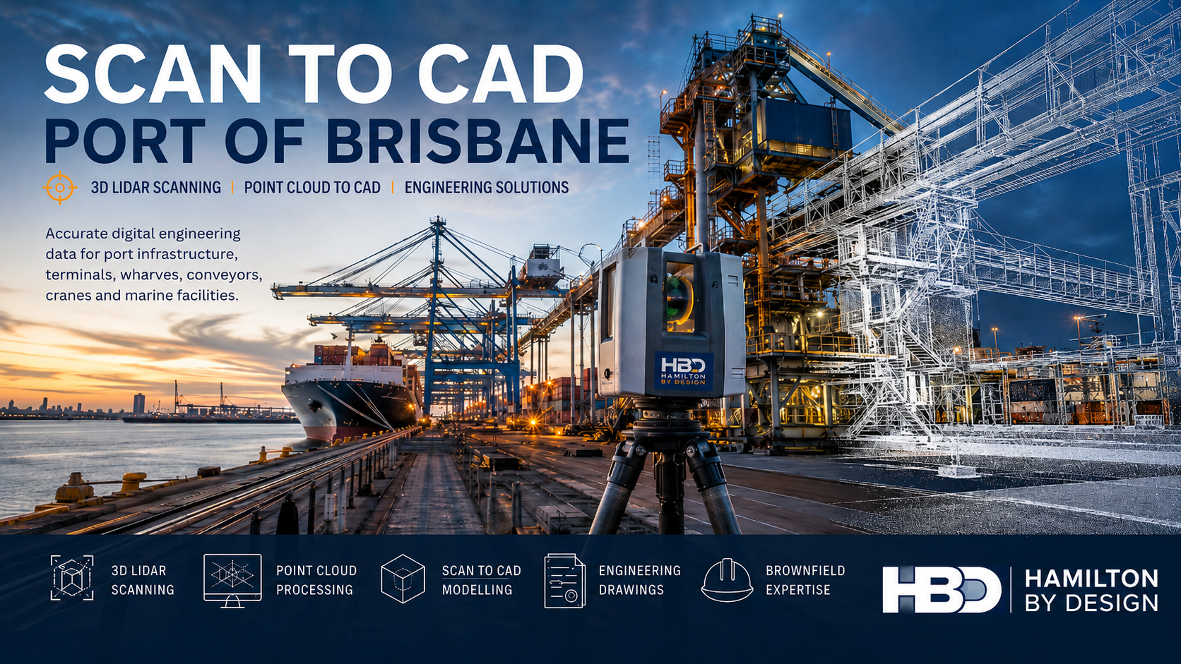
Hamilton By Design provides Scan to CAD services for the Port of Brisbane, converting engineering-grade LiDAR point-cloud data into practical CAD models, drawings and digital engineering information.
Our engineer-led workflow combines LiDAR scanning in Brisbane with point cloud to CAD modelling, mechanical engineering and fabrication-focused drafting.
This enables project teams to design around the actual port facility rather than relying on incomplete drawings, isolated site measurements or assumptions.
What Is Scan to CAD?
Scan to CAD is the process of capturing an existing asset or facility with 3D laser scanning and converting the resulting point cloud into structured CAD geometry.
A typical workflow includes:
Project planning → Site scanning → Point-cloud registration → CAD modelling → Engineering drawings
The completed models and drawings may be prepared for use in:
- AutoCAD
- SolidWorks
- Autodesk Inventor
- Navisworks
- Revit
- Plant-design software
- Structural-drafting systems
- Fabrication and construction documentation
Hamilton By Design provides more than a visual point cloud. Our engineering-led 3D scanning services in Brisbane are structured around the project’s intended engineering, fabrication, maintenance or construction outcome.
Scan to CAD for the Port of Brisbane
The Port of Brisbane is a major Queensland trade and logistics hub supporting containerised cargo, bulk products, motor vehicles, general cargo and other maritime activities.
Its facilities include container berths, bulk-handling terminals, common-user facilities and the Brisbane Multimodal Terminal, which provides an interface between rail, road and container-terminal operations.
Infrastructure in and around the port may include:
- Container-handling equipment
- Ship-to-shore cranes
- Automated stacking-crane infrastructure
- Conveyors and transfer stations
- Ship loaders and unloaders
- Hoppers and chutes
- Wharf structures
- Marine loading equipment
- Fuel and chemical infrastructure
- Rail and road interfaces
- Maintenance workshops
- Structural-steel platforms
- Stairs, ladders and handrails
- Pipe racks and process pipework
The Port of Brisbane’s container facilities include multiple container berths operated by major stevedores using automated container-handling equipment.
Scan to CAD provides an accurate digital baseline before modification, maintenance or upgrade work begins.
Why Port Facilities Benefit from Scan to CAD
Traditional site measurement usually requires designers to identify every required dimension before attending site.
When another measurement is needed later, another site visit may be required.
This can be difficult within an operating port environment where access may involve:
- Port or terminal inductions
- Maritime-security controls
- Work permits
- Escort requirements
- Traffic-management arrangements
- Crane and mobile-equipment movements
- Restricted wharf access
- Work near water
- Vessel movements
- Limited shutdown windows
- Coordination with operations personnel
A coordinated 3D point-cloud scan captures millions of measured points throughout the work area.
Once registered, the point cloud allows engineers and designers to revisit the digital site and review:
- Dimensions
- Elevations
- Clearances
- Structural interfaces
- Pipework locations
- Equipment positions
- Access constraints
- Installation routes
- Surrounding obstructions
This can reduce repeated site attendance while providing a more complete understanding of the existing environment.
Scan Existing Port Infrastructure Once and Use It Repeatedly
A well-planned scan can become a reusable digital reference for engineering, drafting, fabrication and maintenance teams.
The point cloud may be used to support:
- Concept development
- Detailed design
- Equipment replacement
- Structural modifications
- Fabrication drawings
- Clash detection
- Installation planning
- Shutdown planning
- As-built documentation
- Maintenance-access reviews
- Future upgrade projects
Hamilton By Design’s reality capture services in Brisbane integrate site capture with Scan to CAD, as-built documentation and engineering design.
This means the scan is planned around what the project team needs to achieve, rather than simply collecting large quantities of unstructured data.
Port Equipment and Infrastructure We Can Capture
Wharves and Marine Structures
LiDAR scanning can capture the accessible and visible geometry of:
- Wharf decks
- Structural framing
- Fender-support structures
- Bollards
- Mooring equipment
- Access ladders
- Handrails
- Service trenches
- Crane rails
- Wharf-mounted equipment
- Pipework and services
- Equipment foundations
The resulting CAD model can support maintenance planning, structural modifications, equipment installation and existing-condition documentation.
For projects involving broader building or infrastructure information, Hamilton By Design can also provide Scan to BIM services in Brisbane.
Container-Terminal Infrastructure
Container terminals contain complex interfaces between cranes, automated equipment, road vehicles, rail infrastructure, barriers, services and maintenance areas.
Scan to CAD can assist with projects involving:
- Ship-to-shore crane interfaces
- Automated stacking-crane areas
- Container-transfer equipment
- Crane rails
- Maintenance access
- Safety barriers
- Equipment foundations
- Cable routes
- Traffic interfaces
- Structural modifications
- Services and utilities
The point cloud allows proposed equipment and structures to be reviewed within the measured terminal environment before fabrication or installation.
Conveyors, Chutes and Bulk-Materials Equipment
Bulk-handling equipment is often congested, elevated and difficult to measure manually.
Hamilton By Design can scan:
- Belt conveyors
- Transfer stations
- Chutes
- Hoppers
- Bins
- Feeders
- Ship loaders
- Ship unloaders
- Scrapers
- Support structures
- Walkways
- Maintenance platforms
- Dust-extraction systems
Our chute design and materials-handling services can combine accurate existing-condition data with CAD modelling and engineering design.
This can support chute replacement, conveyor modification, wear assessment and materials-handling upgrades.
Ship Loaders and Port-Loading Equipment
Ship loaders contain large structural, mechanical and materials-handling systems that can be difficult to document with conventional measurement methods.
Scan to CAD can support:
- Structural-steel modifications
- Conveyor replacement
- Chute upgrades
- Access-platform design
- Mechanical-equipment replacement
- Slew and travel interfaces
- Maintenance-access studies
- Pipework and service modifications
- As-built documentation
- Installation and shutdown planning
Hamilton By Design’s experience with ship-loader 3D scanning demonstrates how engineering-grade point clouds can support Scan to CAD, port infrastructure modifications and brownfield design.
Mechanical Equipment and Pipework
Scan to CAD can also document:
- Pumps
- Valves
- Pipework
- Ducting
- Tanks
- Mechanical skids
- Loading systems
- Hydraulic equipment
- Equipment supports
- Service platforms
- Maintenance-access systems
- Replacement components
Where existing components must be reproduced or redesigned, the scan can form part of a structured reverse-engineering process.
Rail and Road Interfaces
Port operations depend on coordinated movement between marine, road and rail systems.
LiDAR scanning can capture:
- Rail alignments
- Road interfaces
- Loading areas
- Transfer zones
- Traffic barriers
- Equipment clearances
- Structures
- Services
- Signage supports
- Access routes
- Vehicle envelopes
The Brisbane Multimodal Terminal provides a designated interface between rail, road and the Port of Brisbane container terminals.
A coordinated point cloud can help project teams assess how proposed modifications interact with these operating areas.
Scan to CAD for Brownfield Port Upgrades
Most port modification projects are brownfield projects.
New equipment must fit around existing structures, pipework, electrical services, access platforms and operating systems.
Even a relatively small dimensional discrepancy can result in:
- Fabrication rework
- Installation delays
- Site cutting and welding
- Crane delays
- Extended shutdowns
- Access problems
- Service clashes
- Additional engineering work
- Increased safety exposure
- Higher project costs
Hamilton By Design’s Scan to CAD workflow allows proposed equipment to be developed within the measured site environment.
This helps the project team understand:
- What is actually installed
- Where surrounding structures are located
- Whether sufficient access is available
- How the equipment may be installed
- Whether fabricated components can reach their final position
- Where clashes may occur
- Which existing assets may require modification
Supporting Port Modification Projects
Scan to CAD can support a wide range of port projects, including:
- Conveyor replacements
- Transfer-chute upgrades
- New maintenance platforms
- Crane-access modifications
- Equipment relocations
- Pipework upgrades
- Dust-extraction improvements
- Ship-loader modifications
- Wharf-service upgrades
- Structural-steel additions
- Machine guarding
- Safety-access improvements
- Demolition planning
- Shutdown projects
- As-built documentation
Hamilton By Design can combine Scan to CAD with broader engineering services, including mechanical design, structural drafting, 3D modelling and fabrication documentation.
Our Port of Brisbane Scan to CAD Workflow
1. Project Scope and Scan Planning
Before attending site, we establish:
- The project objective
- The required scan area
- The required CAD deliverables
- Critical equipment interfaces
- Required level of detail
- Accuracy expectations
- Site-access conditions
- Operational restrictions
- Safety requirements
- Coordinate-system requirements
- File-format requirements
Planning the scan around the intended deliverable helps ensure that the required geometry is captured.
2. Site Access and Safety Planning
Port work can involve moving machinery, suspended loads, heavy vehicles, vessel operations, operating conveyors and water-edge hazards.
The scanning methodology may need to consider:
- Port and terminal inductions
- Safe Work Method Statements
- Take 5 risk assessments
- Exclusion zones
- Traffic movements
- Crane operations
- Work near water
- Restricted areas
- Communication requirements
- Shutdowns and isolations
Scanning positions are selected to capture the required information while minimising interference with port operations.
3. Engineering-Grade LiDAR Capture
Hamilton By Design uses professional terrestrial LiDAR equipment to capture detailed site geometry.
Multiple scan positions are typically established around the work area to reduce shadows and improve coverage around:
- Structural members
- Pipework
- Mechanical equipment
- Conveyor systems
- Platforms
- Services
- Access routes
- Equipment interfaces
Further information about our national scanning capability is available through our engineering-grade 3D laser scanning service.
4. Point-Cloud Registration
Individual scans are aligned into a coordinated point-cloud dataset.
The registered point cloud is reviewed for:
- Alignment quality
- Site coverage
- Noise and unwanted data
- Missing areas
- Critical interfaces
- Dimensional consistency
- Coordinate control
The registered dataset may then be supplied directly or used as the basis for CAD modelling and engineering documentation.
5. CAD Modelling
Required geometry is extracted from the point cloud and converted into fit-for-purpose CAD information.
Depending on the project, this may include:
- Simplified spatial models
- Mechanical-equipment models
- Structural-steel models
- Pipework models
- Conveyor models
- Equipment envelopes
- Platforms and access systems
- Existing-condition drawings
- Fabrication-ready models
Not every visible object needs to be modelled.
The required level of detail should be established according to the engineering purpose of the project.
6. Engineering and Constructability Review
Where required, the scan-derived CAD model can support:
- Mechanical design
- Structural-arrangement development
- Clash detection
- Access reviews
- Installation planning
- Equipment fit checks
- Maintenance-access studies
- Fabrication documentation
- Engineering verification
Hamilton By Design’s SolidWorks services in Brisbane can be used to develop mechanical models, assemblies and drawings from the measured site data.
7. Project Deliverables
Available project deliverables may include:
- Registered point clouds
- E57 files
- RCP files
- RCS files
- LAS files
- AutoCAD DWG drawings
- DXF files
- SolidWorks models
- Autodesk Inventor models
- STEP files
- SAT files
- Parasolid files
- Navisworks coordination models
- General-arrangement drawings
- Plans, sections and elevations
- Fabrication drawings
- Existing-condition reports
The final deliverables are agreed during project scoping so the capture, processing and modelling effort remains aligned with the intended use.
Engineer-Led Scan to CAD
The value of a Scan to CAD project depends on more than the scanner being used.
The person planning the capture needs to understand what engineers, designers and fabricators will require from the data.
Hamilton By Design combines:
- Mechanical-engineering experience
- Industrial LiDAR scanning
- Point-cloud registration
- SolidWorks modelling
- AutoCAD drafting
- Structural and mechanical drafting
- Fabrication knowledge
- Brownfield-design experience
- Practical site experience
Our 3D scanning engineering service in Brisbane combines site capture with CAD modelling, mechanical design and fabrication-ready drafting.
This integrated approach helps ensure important interfaces are captured and the final model is appropriate for its intended engineering purpose.
Designing Around Real Port Conditions
Port equipment may have been:
- Repaired
- Reinforced
- Replaced
- Relocated
- Modified
- Distorted
- Worn
- Supplemented with additional steelwork
- Changed without drawing updates
An original drawing should therefore not automatically be treated as a reliable as-built record.
Scan to CAD allows designers to compare physical site conditions against available drawings and establish a more dependable basis for new work.
This is particularly valuable when designing:
- Replacement components
- New platforms
- Conveyor modifications
- Pipe supports
- Equipment foundations
- Structural frames
- Guards and barriers
- Maintenance-access systems
- Retrofit steelwork
Clash Detection Before Fabrication
A scan-derived model can be combined with the proposed design to identify potential clashes before materials are ordered or components are fabricated.
Possible clashes may involve:
- Existing structural steel
- Pipework
- Cable trays
- Handrails
- Mechanical equipment
- Conveyor components
- Access routes
- Crane operating envelopes
- Maintenance-removal paths
- Vehicle clearances
Identifying these issues during the CAD stage is generally safer and less disruptive than discovering them during installation or a restricted port shutdown.
Installation and Shutdown Planning
Port shutdowns and installation windows may be tightly controlled.
Scan to CAD can assist project teams in reviewing:
- Component sizes
- Lift requirements
- Crane positions
- Installation sequences
- Temporary access
- Removal paths
- Laydown areas
- Existing obstructions
- Required demolition
- Temporary-support requirements
A coordinated point cloud also allows contractors, fabricators and project stakeholders to review the site remotely before mobilisation.
As-Built Verification
Following installation, selected areas may be rescanned and compared with the design model.
This can help verify:
- Equipment position
- Structural alignment
- Pipe routing
- Clearances
- Installed geometry
- Construction tolerances
- Differences between design and installation
The resulting model can provide a dependable digital record for future maintenance, modification and asset-management activities.
Scan to CAD Compared with Manual Measurement
Manual measurement remains suitable for simple and accessible assets.
However, conventional measurement becomes more difficult where a project contains:
- Complex geometry
- Congested equipment
- Elevated structures
- Multiple operating levels
- Restricted access
- Large work areas
- Irregular surfaces
- Numerous equipment interfaces
- Limited time on site
LiDAR scanning captures the spatial relationship between assets instead of producing a disconnected collection of individual measurements.
Critical dimensions may still be independently verified where required, but the point cloud provides the broader engineering context.
Benefits for Port Owners and Operators
Scan to CAD can provide:
- Better existing-condition information
- Reduced reliance on outdated drawings
- Fewer repeated site visits
- Improved design coordination
- Earlier clash identification
- Better installation planning
- Reduced fabrication uncertainty
- Improved asset documentation
- A reusable digital record
- Safer remote project reviews
Benefits for Engineers and Designers
Engineering teams can use the scan-derived model to:
- Design around measured geometry
- Check structural and mechanical interfaces
- Develop accurate layouts
- Create sections through complex areas
- Review access and maintainability
- Coordinate engineering disciplines
- Produce fabrication drawings
- Reduce assumptions
- Communicate proposed modifications clearly
Benefits for Fabricators and Contractors
Fabricators and contractors can benefit from:
- Better-defined interfaces
- Clearer fabrication drawings
- Reduced dimensional uncertainty
- Improved fit-up confidence
- Better lift planning
- Better installation planning
- Fewer unexpected site modifications
- Reduced rework
- Improved communication with the engineering team
Port of Brisbane Areas Serviced
Hamilton By Design can support Scan to CAD projects throughout:
- Port of Brisbane
- Fisherman Islands
- Lytton
- Pinkenba
- Bulwer Island
- Hemmant
- Murarrie
- Eagle Farm
- Brisbane
- South East Queensland
- Regional Queensland
Port, wharf and terminal access remains subject to the requirements of the relevant facility owner, operator or tenant.
Why Choose Hamilton By Design?
Hamilton By Design provides an integrated digital-engineering service covering:
- 3D LiDAR laser scanning
- Point cloud to CAD modelling
- Mechanical engineering and design
- Reality capture in Brisbane
- Scan to BIM Brisbane
- SolidWorks modelling in Brisbane
- Reverse engineering
- Structural and mechanical drafting
- Fabrication drawings
- Brownfield-design support
- As-built verification
- Installation and shutdown planning
Rather than separating scanning, modelling, drafting and engineering between unrelated suppliers, Hamilton By Design can provide a coordinated workflow from physical site capture through to practical engineering documentation.
Frequently Asked Questions
Can Scan to CAD be completed while a port facility remains operational?
In many situations, yes.
LiDAR scanning is a non-contact measurement method and can often be performed around normal operations. However, scanning may need to be coordinated around traffic, cranes, vessels, conveyors, operating machinery and controlled exclusion zones.
Can you scan conveyors and ship-loading equipment?
Yes.
LiDAR scanning can capture conveyors, transfer chutes, hoppers, ship loaders, support structures, access platforms and surrounding equipment.
Can the point cloud be used in AutoCAD?
Yes.
Registered point-cloud data may be supplied in formats such as RCP, RCS and E57. Structured geometry and drawings can also be developed in AutoCAD DWG format.
Can you create SolidWorks models from the scan?
Yes.
Point-cloud information can be used to develop SolidWorks parts, assemblies, structural layouts, equipment envelopes and mechanical designs.
Do you provide the registered point-cloud data?
Registered point-cloud data can be included within the agreed project deliverables.
The required file format, coordinate system, file size and data-transfer method should be confirmed during project scoping.
Can you model only the project area?
Yes.
Targeted modelling is often more economical than modelling an entire port facility. The model can be limited to the structures, equipment and interfaces relevant to the project.
Can the CAD model be used for fabrication?
Yes, where fabrication-ready modelling and drawings are included within the agreed scope.
A raw point cloud should not automatically be treated as fabrication documentation without engineering interpretation and suitable drawing development.
Can you compare the scan with existing drawings?
Yes.
Existing drawings or CAD models can be compared with the measured point cloud to identify differences and support drawing updates.
Can scanning be performed near a wharf edge?
Potentially, subject to site access and project-specific safety controls.
Work near water may require exclusion zones, suitable personal protective equipment, communication arrangements, controlled access and coordination with port operations.
What scanning accuracy can be achieved?
The achievable accuracy depends on scan distance, site geometry, surface condition, environmental conditions, registration control and the required deliverable.
The appropriate scanning and modelling tolerance should be established during project planning.
Discuss Your Port of Brisbane Scan to CAD Project
Accurate engineering starts with a reliable understanding of the existing facility.
Hamilton By Design provides engineer-led Scan to CAD services for the Port of Brisbane, helping port operators, terminal operators, engineering consultants, contractors and fabricators convert existing infrastructure into reliable digital engineering information.
Whether your project involves a conveyor modification, maintenance platform, pipework upgrade, ship loader, wharf structure, crane interface, equipment replacement or broader brownfield upgrade, we can develop a scanning and modelling scope suited to the project.
Contact Hamilton By Design to discuss 3D LiDAR scanning, point-cloud processing and Scan to CAD services for your Port of Brisbane project.

Contact Us – Talk To Us
Our clients: