
Accurate 3D Laser Scanning for Heritage Buildings in Newcastle and the Hunter Region
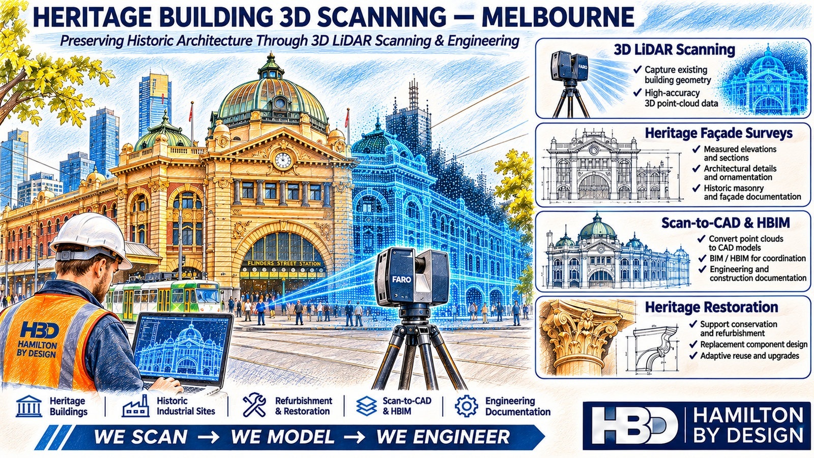
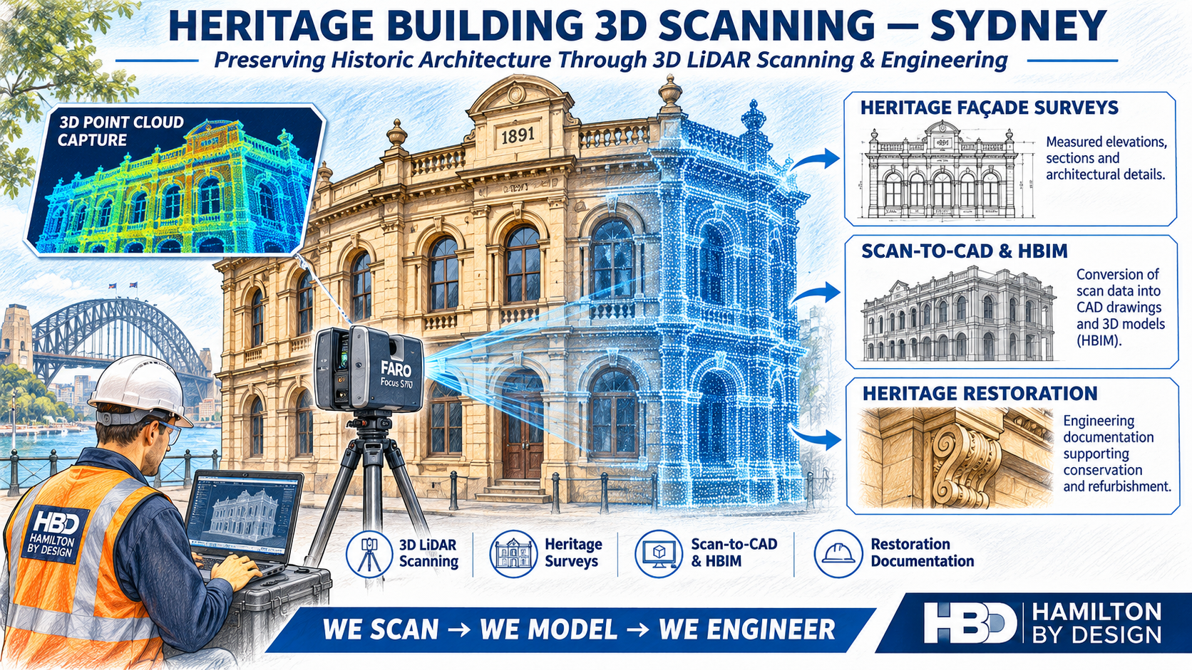
Hamilton By Design provides professional heritage building 3D scanning services in Newcastle, NSW, helping architects, engineers, heritage consultants, builders and property owners capture accurate digital records of existing buildings.
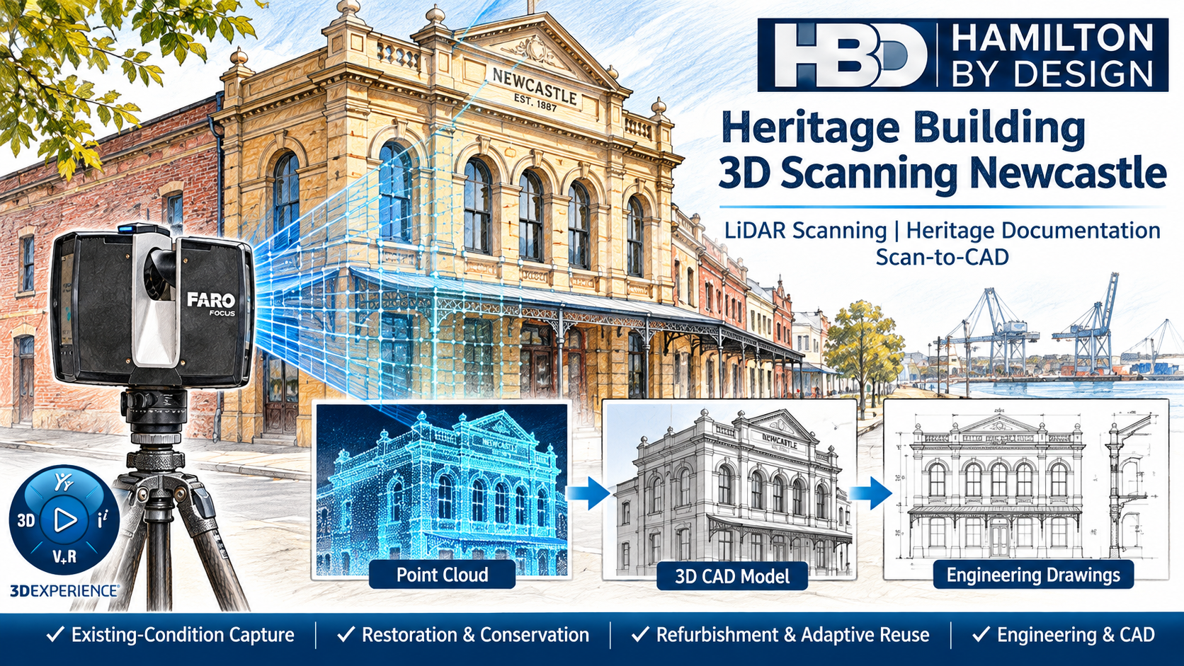
Using terrestrial 3D LiDAR scanning technology, we document heritage façades, structural elements, architectural features, internal spaces and building geometry to support restoration, conservation, refurbishment and adaptive reuse projects.
Newcastle has a diverse architectural history, including historic commercial buildings, industrial structures, churches, civic buildings, warehouses and residential properties. Preserving these structures often requires a detailed understanding of their existing geometry before alterations or conservation works commence.
Our engineering-led approach combines 3D LiDAR scanning, point cloud processing, CAD modelling and mechanical engineering expertise to provide reliable dimensional information for design and construction teams.
Why Use 3D LiDAR Scanning for Heritage Buildings?
Traditional building measurement techniques can be time-consuming, particularly when documenting complex architectural features, irregular masonry, deteriorated structures and buildings that have undergone multiple alterations.
3D LiDAR scanning captures millions of spatial measurements to create a detailed digital representation of the building as it exists.
This information can assist with:
- Heritage building conservation and restoration planning.
- Existing-condition documentation before refurbishment.
- Recording historic façades and architectural details.
- Identifying building deformation and geometric irregularities.
- Developing accurate existing-condition CAD drawings.
- Supporting structural engineering assessments.
- Planning adaptive reuse and building upgrades.
- Coordinating new services within existing structures.
- Creating digital records before construction or demolition activities.
Unlike conventional surveying methods that rely on selected measurements, terrestrial LiDAR scanning captures extensive surface geometry within the scanner’s line of sight.
This provides architects and engineers with a comprehensive dimensional reference for subsequent design work.
Heritage Façade 3D Scanning in Newcastle
Historic building façades often contain architectural features that are difficult to measure using conventional methods.
These may include decorative masonry, sandstone elements, parapets, cornices, arches, columns, window openings and irregular wall surfaces.
Hamilton By Design can undertake 3D scanning of heritage building façades to capture their existing geometry and provide dimensional information for conservation and restoration projects.
Typical applications include:
- Sandstone and masonry façade restoration.
- Heritage window and door replacement.
- Architectural moulding and decorative feature documentation.
- Parapet and cornice measurement.
- Building façade refurbishment.
- Existing façade geometry for structural assessment.
- Documentation of façade movement or deformation.
- Coordination of scaffolding, access systems and temporary works.
Where access permits, terrestrial scanning can capture façades from multiple positions to improve coverage and reduce areas hidden from the scanner.
The resulting point cloud provides a digital reference that can be used to prepare elevations, sections, details and three-dimensional CAD models.
3D Scanning for Heritage Building Restoration
Restoration projects frequently involve structures constructed before modern dimensional standards and building documentation practices were introduced.
Existing walls may not be straight, floors may be uneven, and architectural elements may differ from their original design dimensions.
These conditions can create difficulties when new building components are manufactured using incomplete or outdated drawings.
Our heritage building scanning services help project teams understand these existing conditions before fabrication or construction begins.
Applications include:
Stone and masonry restoration
Capture the geometry of existing stonework, masonry openings and decorative features to support the design of replacement components.
Historic roof structures
Document accessible roof geometry, structural members, roof profiles and interfaces with existing walls.
Structural alterations
Provide point cloud data to assist engineers in assessing existing structural arrangements and planning modifications.
Heritage building refurbishment
Capture existing internal and external dimensions for refurbishment planning and coordination.
Architectural restoration
Provide dimensional references for reproducing existing architectural components and coordinating new work with historic structures.
Adaptive reuse
Support the conversion of heritage buildings into commercial, residential, hospitality or community facilities through accurate existing-condition documentation.
Scan-to-CAD Modelling for Heritage Buildings
Hamilton By Design offers more than point cloud capture.
As an engineering and design consultancy, we can use the captured scan data to develop CAD geometry and technical drawings suited to the project’s requirements.
Our workflow combines:
3D Scanning → Point Cloud Processing → CAD Modelling → Engineering Design
Depending on the agreed scope, deliverables may include:
- Registered point cloud files.
- 2D CAD floor plans.
- Building elevations.
- Architectural and structural sections.
- Simplified 3D building geometry.
- Existing structural arrangement drawings.
- Fabrication and installation drawings.
- Engineering design models.
- Digital geometry for coordination with other consultants.
This integrated approach reduces the need to transfer incomplete measurements between separate scanning, drafting and engineering providers.
It also allows design decisions to be checked against the captured building geometry.
Heritage Building Point Cloud Deliverables
Following scanning and registration, Hamilton By Design can supply point cloud data in formats compatible with commonly used engineering and architectural software.
| File Format | Typical Application |
|---|---|
| .E57 | Open-format registered point cloud exchange |
| .RCP / .RCS | Autodesk ReCap and AutoCAD workflows |
| .LAS | Point cloud exchange and spatial data |
| .DXF / .DWG | 2D CAD drawings and geometry |
| .STEP | 3D CAD model exchange |
| Building plans, elevations and technical drawings |
Deliverables are selected according to the project scope, required level of detail and intended design workflow.
Where BIM or Revit models are required, the modelling scope and level of detail can be established before commencement.
Engineering-Led Heritage Building Documentation
A key advantage of engaging Hamilton By Design is our ability to combine dimensional capture with engineering and CAD expertise.
Our experience includes mechanical engineering, structural interfaces, industrial facilities, building geometry, fabrication and reverse engineering.
This allows us to consider not only how a heritage structure is measured, but also how the captured information will be used during design and construction.
For example, a heritage building restoration project may require accurate documentation of existing steelwork, masonry interfaces, roof supports or mechanical services before new components can be designed.
By working directly from registered scan data, we can develop CAD models and drawings that reflect the measured existing conditions.
Where structural certification, specialist heritage advice or statutory approvals are required, these remain subject to the involvement of appropriately qualified professionals.
Non-Contact Documentation of Heritage Structures
3D LiDAR scanning is particularly valuable for heritage buildings because it is a non-contact measurement method.
This can reduce the need for physical contact with fragile architectural surfaces, deteriorated masonry or historically significant building elements.
Scanning can often be completed from accessible ground-level positions, although elevated access may be required to capture roof details, parapets or features hidden from view.
Our scanning methodology considers site access, pedestrian movements, building occupancy, safety requirements and the condition of the existing structure.
Where necessary, scanning can be coordinated outside normal business hours to reduce disruption.
Heritage Building Scanning Across Newcastle and the Hunter Region
Hamilton By Design provides heritage building 3D scanning services throughout Newcastle and surrounding areas, including:
- Newcastle CBD and Newcastle East.
- The Hill and Cooks Hill.
- Hamilton and Islington.
- Wickham and Carrington.
- Mayfield and Waratah.
- Merewether and The Junction.
- Wallsend and Lambton.
- Lake Macquarie.
- Maitland and East Maitland.
- Morpeth.
- Raymond Terrace and Port Stephens.
- The wider Hunter Region.
Our services are suitable for individual heritage buildings, industrial heritage sites, historic commercial premises and larger refurbishment projects.
Why Choose Hamilton By Design?
Engineering expertise
Our services are delivered with an engineering-focused understanding of building geometry, structural interfaces and fabrication requirements.
High-resolution terrestrial LiDAR scanning
We use professional terrestrial laser scanning equipment to capture detailed existing-condition geometry.
Scan-to-CAD capability
We can develop CAD models and drawings directly from registered point cloud data.
Flexible deliverables
We provide point clouds, drawings and models suited to the requirements of architects, engineers, builders and specialist contractors.
Restoration and fabrication support
Our CAD and engineering capabilities can assist with the design of replacement components and modifications to existing structures.
Regional and Australia-wide service
Based on the NSW Central Coast, Hamilton By Design provides services throughout Newcastle, the Hunter Region and Australia.
Request a Heritage Building 3D Scanning Quotation in Newcastle
Planning the restoration, refurbishment or adaptive reuse of a heritage building in Newcastle?
Hamilton By Design can assist with accurate existing-condition documentation, registered point cloud data and CAD modelling to support your project.
Whether you require a heritage façade scan, an internal building survey, architectural geometry or engineering drawings, we can discuss a suitable scanning and modelling scope.
Contact Hamilton By Design to discuss your heritage building 3D scanning requirements.
Contact Us – Talk To Us
Our clients:






















Hamilton By Design — We Scan → Design → Engineer