3D LiDAR Scanning & Engineering Data Governance
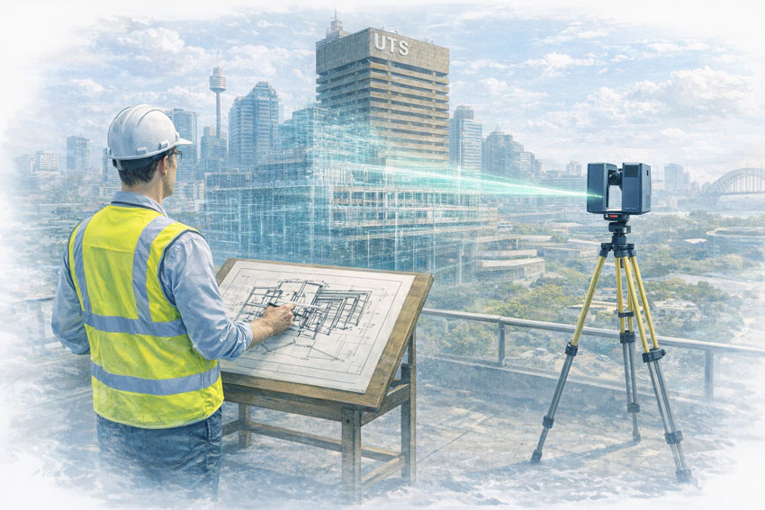
3D LiDAR scanning has become a powerful tool in modern mechanical and industrial engineering.
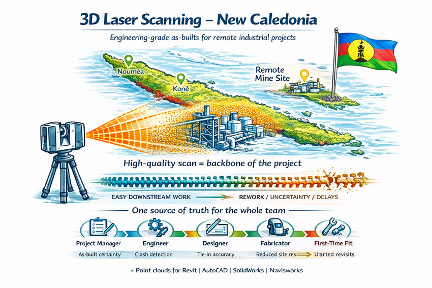
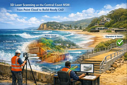
It captures reality with millimetre precision.
It reduces site rework.
It improves brownfield design confidence.
It shortens shutdown risk.
But capturing data is only half the solution.
Without structured engineering governance, even the most accurate point cloud becomes just another unmanaged file sitting on a server.
At Hamilton By Design, we combine 3D LiDAR scanning with controlled digital environments — ensuring your engineering data is not only captured, but secured, governed, and accessible when you need it.
The Risk: Uncontrolled Engineering Data
Across mining, manufacturing and heavy industry, we regularly see:
- Point cloud files stored on local drives
- Multiple uncontrolled drawing revisions
- Contractors working from outdated geometry
- Large scan files shared via unsecured links
- No defined ownership of digital assets
When governance is absent, data degrades.
And when data degrades, engineering risk increases.
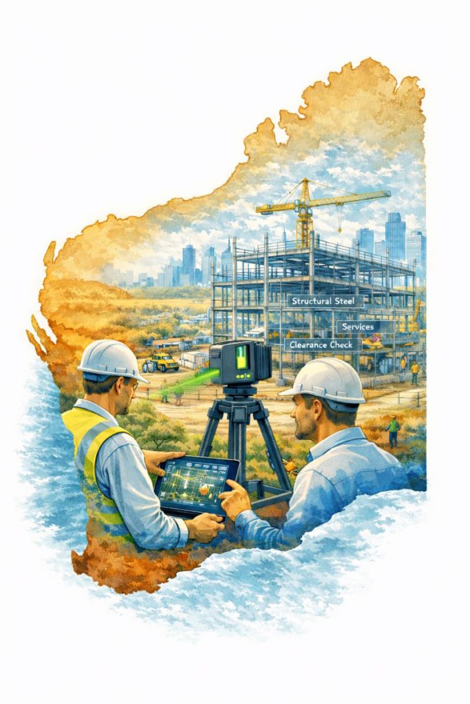
3D LiDAR Scanning Is the Starting Point — Not the End
LiDAR scanning provides:
- Accurate as-built geometry
- Clash detection confidence
- Brownfield validation
- Structural and mechanical verification
- Shutdown planning support
However, once the scan is complete, organisations must answer critical questions:
- Who controls revision access?
- Where is the master file stored?
- How are updates managed after upgrades?
- Who can access the model — and when?
- Is the data audit ready?
This is where engineering governance becomes essential.

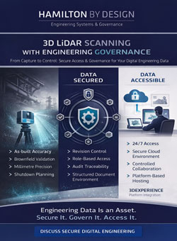
Engineering Governance: Protecting Your Digital Assets
Engineering governance ensures:
- Controlled document environments
- Structured revision management
- Defined user access permissions
- Audit traceability
- Secure cloud storage
- Long-term digital asset stewardship
Without governance, digital engineering becomes fragmented.
With governance, it becomes a single source of truth.
Secured Access Through the 3DEXPERIENCE Platform
Hamilton By Design has partnered to support secure data environments through the 3DEXPERIENCE platform.
This allows clients to:
- Access their 3D models 24 hours per day
- Review point cloud data securely online
- Manage drawing revisions in a controlled environment
- Collaborate with contractors under structured permissions
- Maintain engineering continuity across upgrades
Your data is not sent around via uncontrolled downloads.
It is hosted, governed, and managed within a structured platform environment.
Why 24/7 Access Matters
Industrial facilities do not operate between 9am and 5pm.
Shutdowns occur overnight.
Maintenance decisions happen urgently.
Capital approvals move quickly.
Having secure, controlled access to your digital engineering data — at any time — provides:
- Faster decision-making
- Reduced shutdown risk
- Improved contractor coordination
- Greater executive confidence
Engineering data becomes operational infrastructure.
Integrating LiDAR, Governance and Asset Integrity
When 3D LiDAR scanning is combined with structured governance and platform security, organisations gain:
- A verified as-built model
- Controlled revision history
- Secure cloud-based storage
- Role-based access control
- Ongoing update capability following upgrades
This is particularly critical in:
- Brownfield facilities
- Mining operations
- Manufacturing plants
- Utilities infrastructure
- Long-life industrial assets
Your scan data becomes a living engineering asset — not a static deliverable.
From Capture to Control
At Hamilton By Design, we do not simply provide 3D scanning services.
We provide:
- Site capture
- Data processing
- Model integration
- Engineering governance
- Secure platform hosting
- Ongoing digital stewardship
The objective is simple:
To ensure your engineering data remains accurate, controlled, and accessible for the life of your asset.
Engineering Data Is Corporate Risk
Unsecured or unmanaged engineering data creates exposure:
- Design errors
- Compliance failures
- Shutdown overruns
- Contractor disputes
- Loss of institutional knowledge
Structured governance reduces this exposure.
When supported by secure platform access, your engineering records become resilient.
A Single Source of Truth — Available Anytime
Through the integration of 3D LiDAR scanning and the 3DEXPERIENCE platform, Hamilton By Design enables:
- 24/7 secure access
- Controlled collaboration
- Audit-ready documentation
- Brownfield upgrade support
- Digital continuity
Engineering is not just about building systems.
It is about protecting them — physically and digitally.

Hamilton By Design
3D LiDAR Scanning | Engineering Governance | Secure Digital Platforms
If your organisation is investing in digital capture, ensure your data is governed, protected and available whenever you need it.