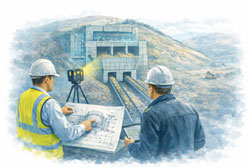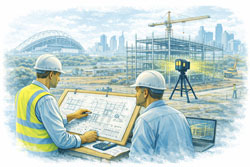
Reality Capture for Live Sites Sydney | 3D Scanning Without Shutdowns
Keep Sydney Projects Running: Accurate Reality Capture Without Shutdowns
Many projects across Greater Sydney and the Central Coast take place in live, operational environments — hospitals, shopping centres, CBD offices, industrial plants, transport facilities, and heritage buildings — where shutdowns are either impossible or extremely costly.
At Hamilton By Design, we provide engineer-led reality capture and 3D scanning services that allow accurate measurement, modelling, and verification without interrupting operations. Our approach supports safe access, staged construction, and clash-free installation — keeping your project moving while reducing risk, rework, and variations.
The Challenge of Working in Live Environments
Builders, project managers, and facilities teams face real risks when upgrading or modifying operational sites:
- Buildings that have moved over time, with visible cracking or deformation
- Changes in soil conditions or legacy engineering affecting structure and services
- Outdated or unreliable drawings that no longer reflect site conditions
- Unexpected clashes once walls, ceilings, or plant rooms are opened
- High costs from rework and contract variations
- Safety risks from confined spaces, working at heights, or restricted access zones
Relying on manual measurement or assumptions in these environments increases both programme risk and safety exposure.

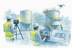
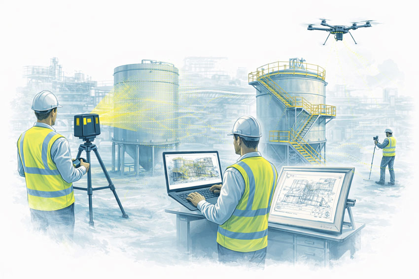
Non-Contact Measurement for High-Risk and Restricted Sites
Our reality capture solutions use non-contact laser scanning and LiDAR technology to safely collect accurate site data, even in difficult or restricted environments.
This allows us to capture:
- Services above ceilings and within plant rooms
- Structural elements and building geometry
- Equipment clearances and access constraints
- Deformed or out-of-plumb structures
All while minimising disruption to occupants and operations.
Safety and Access Benefits
- Reduced need for working at heights
- Faster site presence and data capture
- Minimal interference with daily operations
- Scanning possible from walkways or public-access areas
- Fewer permits, isolations, and shutdown windows required
This makes scanning ideal for live hospitals, retail centres, offices, and industrial facilities where safety and continuity are critical.
Supporting Staged Construction and Live Upgrades
Live environments rarely allow full shutdowns. Our reality capture workflows are designed to support:
- Staged construction programs
- Progressive installation of services
- Ongoing refurbishment works
- Verification before each construction phase
We can also perform repeat scanning to monitor:
- Structural movement
- Progressive cracking
- Deformation of walls, floors, or structural members
This is especially valuable where movement, settlement, or ageing infrastructure is a concern.
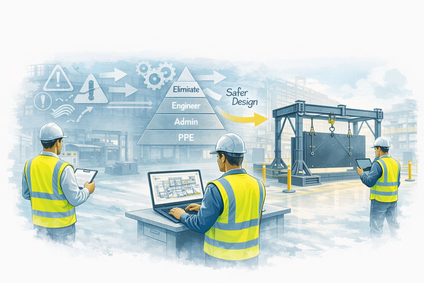
Practical Outcomes for Builders and Project Teams
Our scan data is not just collected — it is engineered into practical construction deliverables that support real project decisions.
Clients use our reality capture outputs for:
- Design of new mechanical, electrical, and plumbing services
- Accurate as-built verification prior to fabrication
- Set-out and coordination models for installation
- Clash detection before construction begins
- Monitoring movement or deformation over time
This reduces uncertainty, improves coordination between trades, and significantly lowers the risk of costly on-site surprises.
Construction-Ready Deliverables
We provide data in formats that integrate directly into your existing workflows and design platforms:
- Point clouds (RCP / E57)
- Revit models
- AutoCAD files
- SolidWorks models
- 2D drawings (plans, sections, elevations)
- Clash-ready coordination models
Our focus is on delivering usable, construction-ready information, not just raw scan files.
Engineer-Led Reality Capture — Not Just Scanning
Hamilton By Design is not a scanning-only provider. We deliver end-to-end technical services, allowing us to support projects from concept through to installation.
Our integrated capabilities include:
- Reality capture and 3D scanning
- Mechanical engineering
- Systems management
- Project management
- Machining and fabrication support
Because our work is engineer-led, scan data is interpreted with constructability, tolerances, and installation constraints in mind — not simply converted into drawings by offshore drafting teams.
This means better decisions, fewer assumptions, and stronger outcomes on site.
Supporting Greater Sydney and the Central Coast
We regularly support projects across:
- Sydney CBD and metropolitan areas
- Major commercial and retail precincts
- Health and education facilities
- Industrial and processing plants
- Infrastructure and heritage assets
- Central Coast commercial and industrial sites
Our local presence allows efficient mobilisation and ongoing project support throughout staged works.

Reduce Risk. Avoid Shutdowns. Build With Confidence.
Reality capture is no longer just a documentation tool — it is a risk management strategy for live environments.
By capturing what is truly on site before construction begins, you can:
- Prevent clashes and redesign
- Reduce variations and rework
- Improve safety planning
- Protect programme and operational continuity
Arrange a Phone Consultation
If you are planning works in a live or high-risk environment and need reliable site data without shutdowns:
Please fill out the form below to arrange a phone consultation.
We’ll discuss your site conditions, construction staging, and deliverable requirements, and recommend the most effective reality capture approach for your project.