Engineering-Grade LiDAR Scanning for Pump Stations, Pipework, Access Platforms and As-Built Documentation

Hamilton By Design provides Central Coast pump station 3D scanning services for councils, water utilities, infrastructure owners, contractors, engineers and maintenance teams who need accurate site information before starting upgrade, maintenance or replacement work.
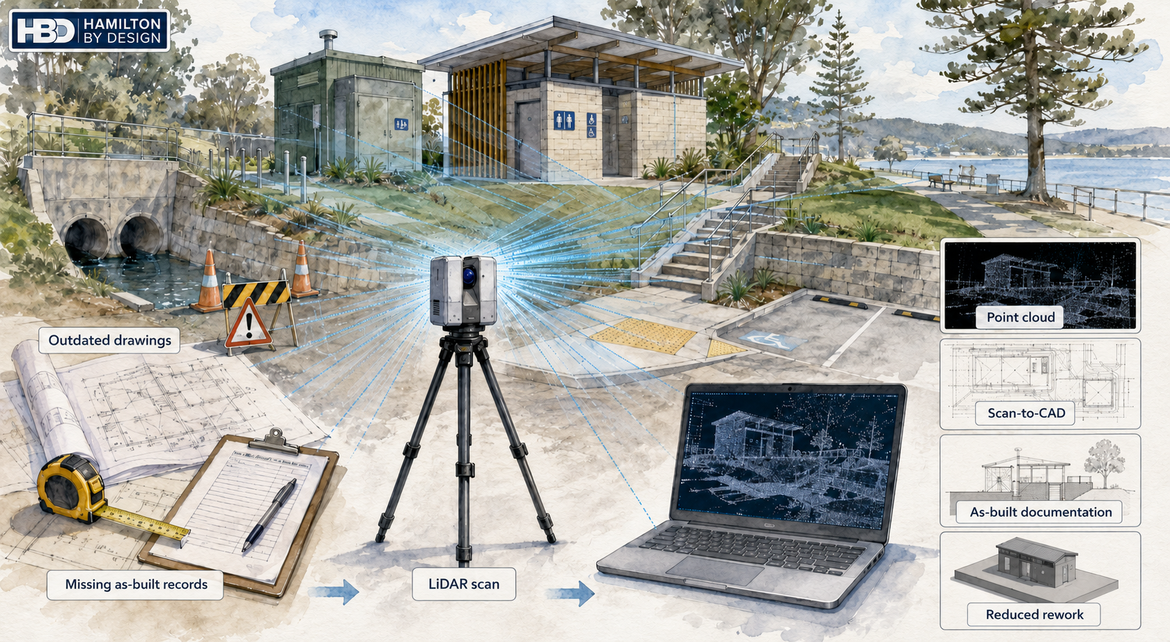
Pump stations are often congested, ageing and difficult to measure safely using traditional methods. Existing drawings may be missing, outdated or no longer match the real installation. This creates risk when replacing pumps, modifying pipework, installing new valves, upgrading access platforms or planning shutdown work.
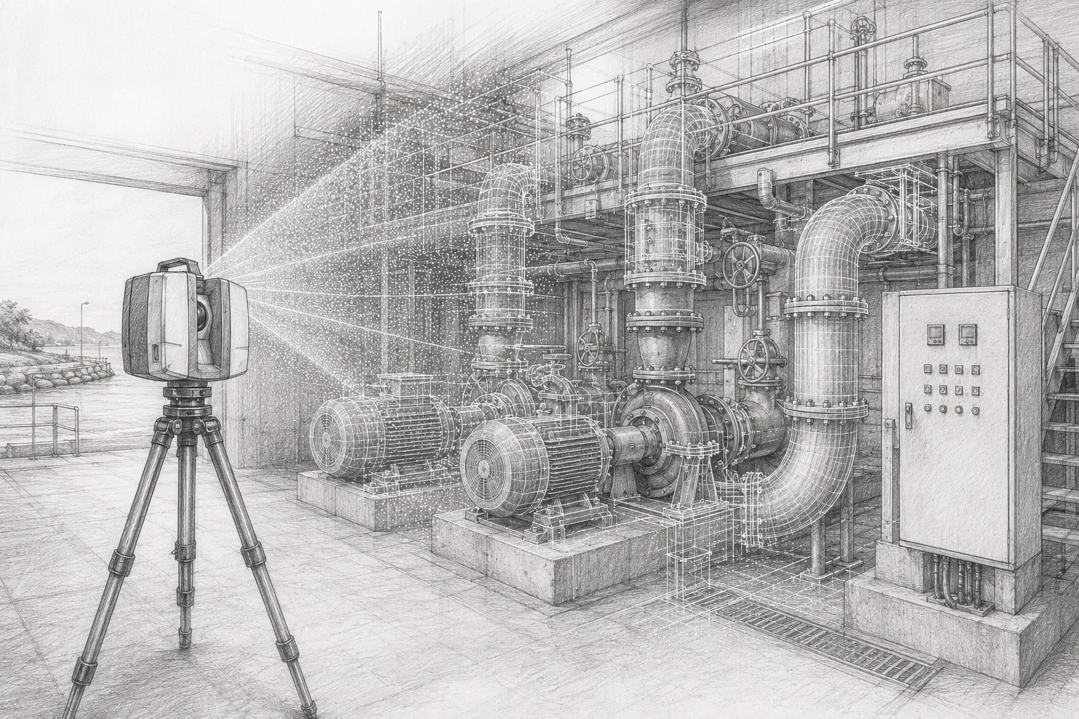
Our 3D laser scanning service captures the existing pump station in high detail, creating accurate point cloud data that can be converted into CAD models, drawings and engineering documentation. This helps reduce rework, improve planning and give project teams confidence that new work will fit the existing site.
Hamilton By Design is based on the NSW Central Coast and supports pump station scanning projects across Gosford, Wyong, Tuggerah, Somersby, Erina, Woy Woy, Ourimbah, Lisarow, Lake Macquarie, Newcastle and the wider Hunter region.
Why Pump Stations Need 3D Scanning
Pump stations contain a mix of mechanical, civil, structural and electrical infrastructure. A single site may include pumps, motors, pipework, valves, supports, access platforms, pits, tanks, switchboards, cable trays and building structures.
Over time, many pump stations are modified during maintenance or upgrade work. Pipework may be rerouted, equipment may be replaced, platforms may be added, and drawings may not be updated. When engineers rely on old drawings or manual measurements, small errors can lead to major problems during installation.
3D scanning helps solve this by capturing the real site condition before design work begins.
Typical issues include:
- Existing drawings do not match the site
- Pipework routes are unclear
- Pump and motor layouts are difficult to measure
- Access platforms and handrails need upgrading
- Valve locations and flange positions need verification
- New equipment must fit around existing structures
- Shutdown windows are short
- Site access is limited
- Manual measurement creates safety and accuracy risks
With accurate 3D scan data, engineers and contractors can plan upgrades using measured reality rather than assumptions.
What We Scan
Hamilton By Design can capture internal and external pump station assets, including:
- Pump and motor assemblies
- Pipework and valve layouts
- Flanges, bends, reducers and fittings
- Structural steel supports
- Access platforms, stairs and handrails
- Concrete pits, plinths and foundations
- Tanks, vessels and wet well areas where accessible
- Cable trays and service routes
- Building envelopes and roof structures
- Maintenance access zones
- Existing clearances and installation constraints
The scan data can be used to support design, drafting, reverse engineering, clash checking and long-term asset documentation.
Scan-to-CAD for Pump Station Upgrades
A point cloud is useful, but the real value comes from converting the scan into practical engineering outputs.
Hamilton By Design can convert pump station scan data into:
- 3D CAD models
- 2D general arrangement drawings
- Pipework layouts
- Equipment location drawings
- Structural platform layouts
- As-built documentation
- Fabrication drawings
- Clearance studies
- Reverse engineered components
- Design-ready geometry for SolidWorks, AutoCAD, Inventor or ReCap workflows
This is especially useful when planning pump replacements, pipework modifications, new valve installations, access upgrades or structural support changes.
For broader industrial scanning capability, you can also refer to our Industrial 3D Scanning Services Australia page.
Local Central Coast Engineering Support
Because Hamilton By Design is based on the Central Coast, we can support local projects quickly and practically. We understand the needs of regional infrastructure, water assets, council facilities, industrial sites and brownfield upgrade work.
Our Central Coast scanning services are suited to:
- Council pump stations
- Water infrastructure
- Wastewater facilities
- Industrial pumping systems
- Stormwater pump stations
- Treatment plant assets
- Manufacturing and process facilities
- Brownfield plant upgrades
- Maintenance and shutdown planning
For more general local scanning services, see our 3D Scanning Services Central Coast page.
Benefits of 3D Scanning Pump Stations
3D scanning provides a reliable foundation for engineering decisions.
Key benefits include:
- Accurate as-built documentation
- Reduced site rework
- Fewer repeat site visits
- Safer data capture
- Improved design accuracy
- Better shutdown planning
- Faster engineering decisions
- Better coordination between designers, fabricators and contractors
- Clearer records for future asset management
- Reduced risk when replacing or modifying equipment
For pump station projects, the biggest advantage is confidence. The design team can work from accurate existing conditions before fabrication or installation begins.
Typical Project Workflow
1. Project Review
We review the project scope, site access, required deliverables and available drawings. This helps determine the best scanning approach.
2. Site Scanning
Using FARO laser scanning equipment, we capture the pump station from multiple positions to record equipment, pipework, structures and surrounding constraints.
3. Point Cloud Registration
The scan data is processed and registered into a coordinated point cloud.
4. CAD Modelling and Drawing Production
Depending on the project, the point cloud can be converted into 3D models, 2D drawings, pipework layouts, equipment models or fabrication-ready documentation.
5. Engineering Support
We can support design review, reverse engineering, upgrade planning and documentation for contractors, councils and asset owners.
Common Pump Station Projects We Support
Hamilton By Design can assist with:
- Pump replacement projects
- Pipework upgrades
- Valve and flange modifications
- Access platform upgrades
- Structural support design
- Maintenance planning
- Shutdown preparation
- Reverse engineering of existing parts
- As-built documentation recovery
- Clash checking for new installations
- Contractor tender documentation
- Long-term asset records
For related pump station reverse engineering content, see our page on 3D Laser Scanning of Pump Stations for Reverse Engineering.
Why Choose Hamilton By Design
Hamilton By Design combines 3D laser scanning with mechanical engineering, CAD modelling and practical site experience.
We do more than capture a point cloud. We understand how the data will be used for design, fabrication, installation and maintenance.
Our strengths include:
- Central Coast based service
- Engineering-led scanning workflow
- FARO laser scanning equipment
- SolidWorks and AutoCAD capability
- Scan-to-CAD modelling
- Mechanical and structural drafting
- Brownfield upgrade experience
- Pump, pipework and plant layout understanding
- Practical documentation for real projects
This makes our service suitable for clients who need accurate engineering information, not just visual site capture.
Central Coast Pump Station 3D Scanning
If you are planning a pump station upgrade, pipework change, equipment replacement or as-built documentation project on the Central Coast, Hamilton By Design can help capture the existing site accurately before design or fabrication begins.
Accurate scan data reduces uncertainty, improves project planning and helps ensure new work fits the real site conditions.
Contact Hamilton By Design to discuss your Central Coast pump station scanning project.
FAQs
What is pump station 3D scanning?
Pump station 3D scanning uses laser scanning technology to capture the real shape, position and layout of pumps, pipework, valves, structures and surrounding site conditions. The scan creates a point cloud that can be used for CAD modelling, drawings and engineering design.
Why is 3D scanning useful for pump station upgrades?
It helps confirm what is actually on site before design work begins. This is important because many pump stations have outdated drawings or undocumented modifications. Scanning reduces the risk of new pipework, pumps or platforms not fitting during installation.
Can you scan pipework and valve layouts?
Yes. We can scan pipework, valves, flanges, bends, reducers, supports and surrounding structures. This information can then be used to create CAD models, layouts or drawings for upgrade planning.
Can you convert the scan into CAD drawings?
Yes. Hamilton By Design can convert point cloud data into 2D drawings, 3D CAD models, general arrangements, pipework layouts and fabrication-ready documentation depending on the project requirements.
Do you work with councils and water infrastructure?
Yes. Our services are suitable for councils, water utilities, wastewater facilities, infrastructure contractors, engineers and asset owners managing pump stations or treatment plant assets.
What areas of the Central Coast do you service?
We support projects across Gosford, Wyong, Tuggerah, Somersby, Erina, Woy Woy, Ourimbah, Lisarow and surrounding Central Coast areas. We also service Newcastle, Lake Macquarie, Sydney and regional NSW.
What files can be delivered?
Common deliverables include registered point clouds, E57 files, RCP/RCS files, DWG drawings, DXF files, STEP models, SolidWorks models, Inventor models, AutoCAD layouts and PDF drawing packages.
Can scanning help with reverse engineering pump parts?
Yes. 3D scanning can assist with reverse engineering pump components, pipework assemblies, supports, access structures and other assets where drawings are missing or incomplete.
Is 3D scanning safer than manual measuring?
In many cases, yes. Laser scanning can capture large amounts of site information from a distance, reducing the need for repeated manual measurement around congested or difficult-to-access areas.
How do I know if my pump station needs scanning?
If the drawings are missing, outdated, unreliable or the upgrade needs to fit around existing equipment, scanning is usually worthwhile. It is especially useful before fabrication, shutdown work or equipment replacement.

Talk to Us – Contact Us
Our clients: