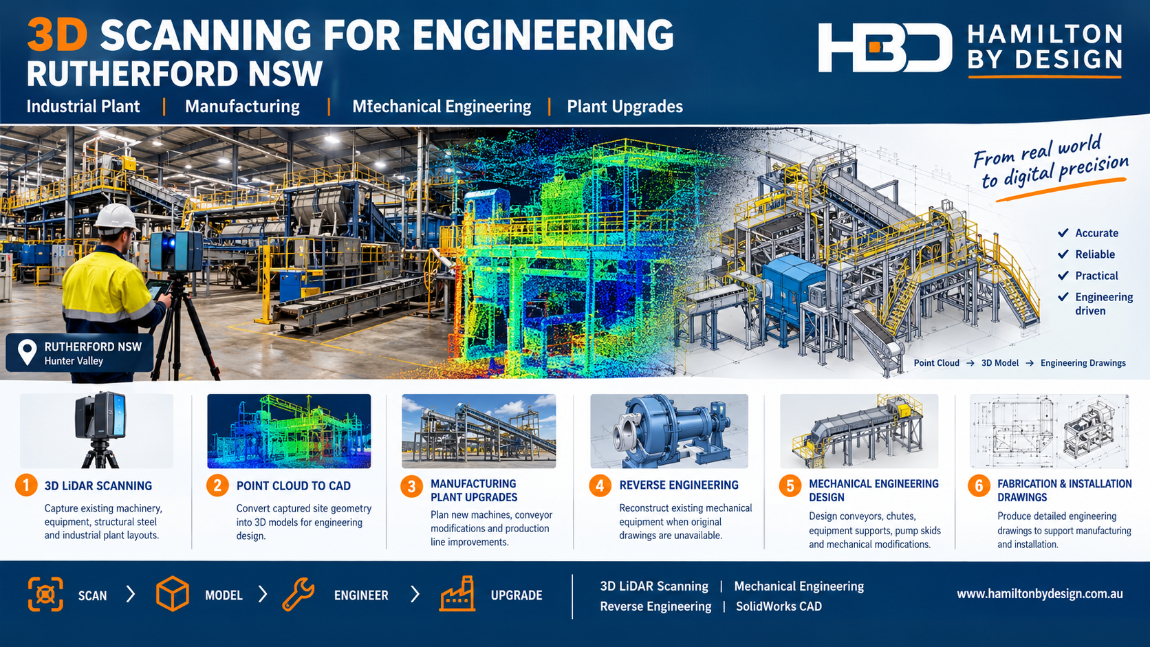
Professional 3D Laser Scanning Services in Dover Heights, Sydney’s Eastern Suburbs

Hamilton By Design provides professional 3D LiDAR scanning services in Dover Heights, NSW 2030, supporting residential renovations, architectural design, building extensions, structural modifications and existing building documentation.
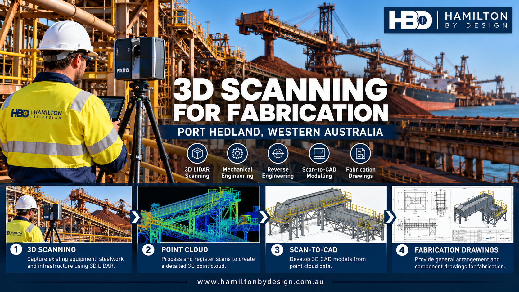
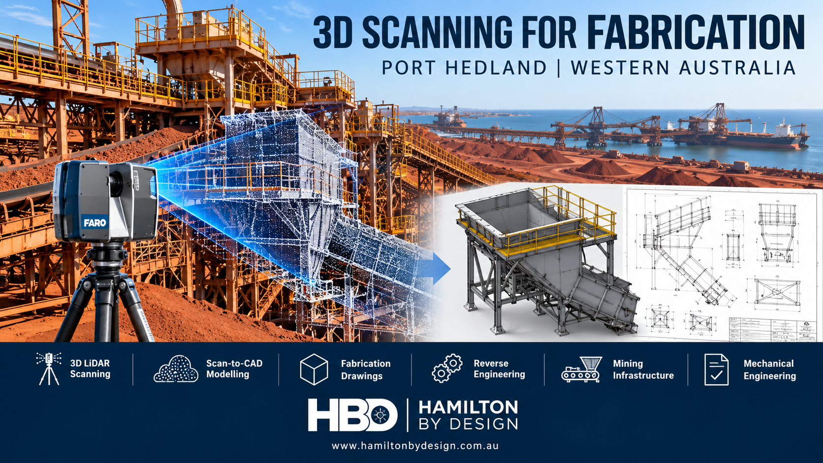
Using engineering-grade terrestrial laser scanning technology, we capture detailed three-dimensional measurements of existing buildings, producing accurate point cloud data for architects, structural engineers, builders and property owners.
Whether you are planning a residential renovation, modifying an existing structure or developing architectural drawings, our 3D scanning services provide reliable dimensional information to support design and construction.
3D LiDAR Scanning for Residential Renovations in Dover Heights
Renovating an existing property can present challenges when original construction drawings are unavailable, incomplete or no longer represent the building’s current condition.
Traditional measuring methods can also be time-consuming, particularly for multi-storey homes, complex roof structures, irregular façades and buildings constructed on sloping sites.
3D LiDAR scanning provides a detailed digital record of the existing building, allowing architects and engineers to work from measured geometry rather than relying solely on historical drawings or assumptions.
Our scanning services can assist with:
- Residential renovations and extensions
- Architectural alterations and redevelopment
- Existing building and façade measurements
- Multi-level residential properties
- Roof geometry and structural interfaces
- Staircases, balconies and external structures
- Existing structural steelwork and exposed building elements
- Preparation of as-built drawings and 3D CAD models
Architectural As-Built Surveys in Dover Heights
Accurate existing building documentation is an important starting point for architectural design.
Hamilton By Design uses terrestrial 3D laser scanning to capture the visible geometry of existing buildings, creating registered point clouds that can be referenced throughout the design process.
Our scanning can capture:
- External building façades
- Internal rooms, walls and ceilings
- Floor levels and changes in elevation
- Door and window openings
- Roof structures and accessible roof geometry
- Balconies, terraces and staircases
- Exposed structural elements
- Existing mechanical services and equipment
The resulting point cloud can be imported into compatible CAD and BIM software to support the preparation of existing-condition drawings and three-dimensional building models.
3D Scanning for Multi-Storey Homes and Sloping Sites
Residential properties in Dover Heights may include multiple floor levels, elevated balconies, complex rooflines and structures built into sloping terrain.
These conditions can make conventional measurement difficult, particularly where different parts of a building must be accurately related to one another.
3D LiDAR scanning allows measurements from multiple scanner positions to be combined into a coordinated three-dimensional dataset.
This is particularly useful for:
- Establishing relationships between floor levels
- Documenting existing building geometry
- Measuring building elevations
- Identifying geometric discrepancies
- Coordinating proposed extensions with existing structures
- Developing architectural and engineering models
Where survey coordinates or Australian Height Datum (AHD) levels are required, suitable survey control can be incorporated into the scanning workflow.
3D Laser Scanning for Structural Alterations
Residential renovation projects frequently involve modifications to existing structural elements.
Before designing new steelwork, openings, connections or supporting structures, engineers need reliable information about the existing building geometry.
Hamilton By Design can provide 3D scanning data to assist with:
- Existing structural steel measurements
- Beam and column positioning
- Building extensions and structural interfaces
- Staircase modifications
- Balcony alterations
- Roof structure modifications
- Dimensional verification for new components
- Coordination of proposed structural elements
Our mechanical engineering and CAD modelling capabilities allow us to support projects beyond the initial scanning stage.
Important: LiDAR scanning captures visible surfaces and geometry. It does not independently establish the condition, capacity or internal construction of concealed structural elements.
Scan-to-CAD and 3D Modelling Services
Collecting 3D scanning data is only one part of the process.
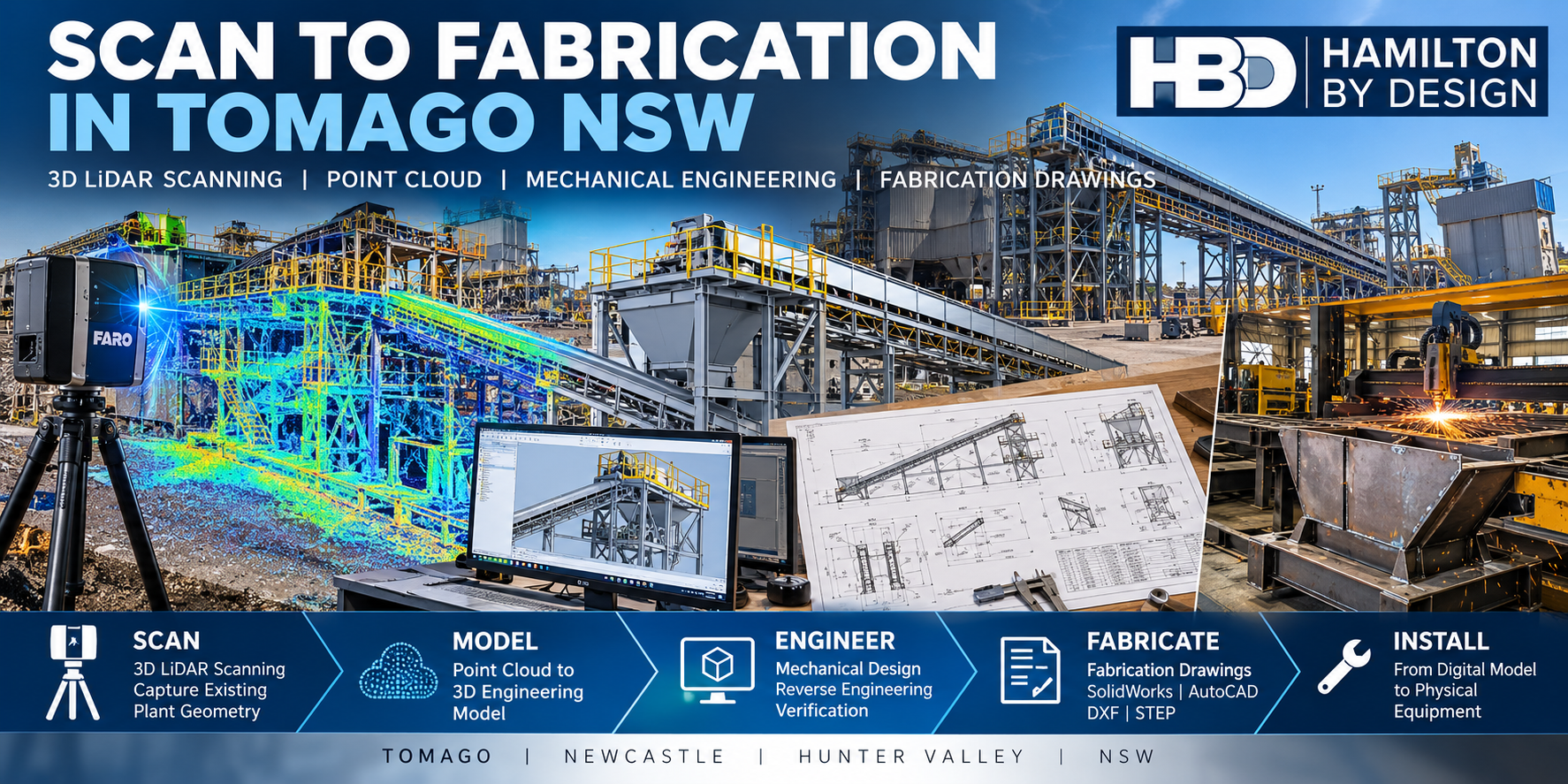
Hamilton By Design can also convert registered point cloud information into practical engineering and design deliverables.
Depending on project requirements, these may include:
- Existing-condition CAD drawings
- Floor plans and building elevations
- Building sections
- 3D architectural reference models
- Structural geometry models
- Mechanical engineering models
- Fabrication and installation reference drawings
- Simplified BIM-compatible geometry
Our experience with SolidWorks, Autodesk AutoCAD, Inventor and point cloud processing software allows us to develop information suitable for different engineering and construction workflows.
Engineering-Grade 3D LiDAR Scanning Equipment
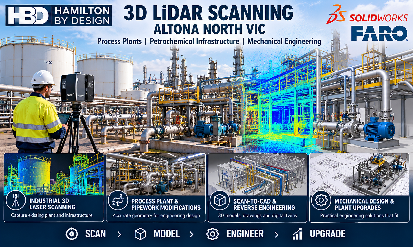
Hamilton By Design uses professional 3D scanning equipment, including the FARO Focus S70 terrestrial laser scanner.
The scanner captures millions of three-dimensional measurement points to create a detailed representation of visible building surfaces.
The equipment is suitable for capturing residential buildings, façades, internal spaces, structural components and existing mechanical installations.
The achievable accuracy of the final registered dataset depends on factors including scanner positioning, range, surface characteristics, site conditions and registration methodology.
For larger building and façade surveys, project-specific accuracy requirements should be established before scanning.
3D Scanning Deliverables
Hamilton By Design can supply digital scanning and modelling information in formats suited to the project requirements.
Typical deliverables include:
| Deliverable | Application |
|---|---|
| E57 point cloud | Registered 3D scanning data for compatible applications |
| Autodesk RCP/RCS | Point cloud integration with Autodesk software |
| LAS point cloud | Point cloud data exchange |
| DWG/DXF drawings | Architectural and engineering reference drawings |
| STEP/Parasolid models | Engineering CAD geometry exchange |
| SolidWorks models | Mechanical engineering and design |
| PDF drawings | Review, coordination and documentation |
The required file formats, level of modelling detail and drawing scope can be agreed upon before commencing the project.
Why Choose Hamilton By Design?
Hamilton By Design combines professional 3D LiDAR scanning with practical mechanical engineering, dimensional verification and CAD modelling experience.
Our services are focused on producing technical information that can be used for engineering and design, rather than simply creating visual representations of buildings.
Our capabilities include:
- Engineering-grade terrestrial 3D LiDAR scanning
- Registered point cloud processing
- Scan-to-CAD and 3D modelling
- Mechanical engineering design
- Existing building geometry documentation
- Reverse engineering and dimensional verification
- Engineering drawings and fabrication documentation
We understand the importance of collecting suitable scan data from the beginning of a project, particularly where information will later be used to develop engineering drawings or coordinate new construction with existing structures.
Frequently Asked Questions – 3D LiDAR Scanning Dover Heights
What is 3D LiDAR scanning?
3D LiDAR scanning uses laser measurements to capture the geometry of physical objects and buildings. The resulting data forms a three-dimensional point cloud that can be used for measurement, modelling and documentation.
Can 3D scanning be used for residential renovations?
Yes. 3D scanning is particularly useful when existing drawings are unavailable or when architects and engineers require reliable dimensional information before designing alterations or extensions.
Can you scan both the inside and outside of a house?
Yes. Hamilton By Design can capture internal and external building geometry, subject to suitable access, visibility and site conditions.
Can you create CAD drawings from the scanning data?
Yes. We can develop CAD drawings and 3D models from registered point cloud data, depending on the agreed project scope.
How accurate is 3D LiDAR scanning?
Accuracy depends on the scanner, measurement distance, site conditions and point cloud registration. Hamilton By Design uses professional scanning equipment and can discuss appropriate accuracy requirements for each project.
Can 3D scanning capture roof geometry?
Yes. Visible roof surfaces and structural geometry can be captured where suitable scanner positions and clear lines of sight are available. Concealed or obstructed areas may require additional access or measurement methods.
How long does residential 3D scanning take?
The time required depends on the size and complexity of the property, access restrictions and the level of detail required. Smaller properties may be captured in a single site visit, while larger or more complex buildings may require additional scanning time.
Can the point cloud be used in Revit or AutoCAD?
Yes. Registered point cloud data can be supplied in compatible formats for use in Autodesk Revit, AutoCAD, ReCap and other supported design applications.
Is 3D LiDAR scanning the same as a registered land survey?
No. LiDAR scanning provides measured three-dimensional geometry. Where cadastral boundaries, legally defined property positions or certified survey levels are required, a registered surveyor may need to provide the appropriate survey control and certification.
3D LiDAR Scanning Across Sydney’s Eastern Suburbs
In addition to Dover Heights, Hamilton By Design provides 3D LiDAR scanning and engineering services across Sydney’s Eastern Suburbs, including:
- Vaucluse
- Rose Bay
- Bellevue Hill
- North Bondi
- Bondi Beach
- Bondi Junction
- Bronte
- Tamarama
- Watsons Bay
- Woollahra
Our services also extend throughout Greater Sydney, the Central Coast, Newcastle and other locations across Australia.
Request a 3D LiDAR Scanning Quotation in Dover Heights
Planning a residential renovation, building extension, architectural survey or structural modification in Dover Heights?
Hamilton By Design can assist with 3D LiDAR scanning, registered point cloud data, CAD drawings and engineering models to support your project.
Contact us to discuss your property, required deliverables and proposed project schedule.

Contact Us – Talk To Us
Our clients:

























Hamilton By Design – 3D LiDAR Scanning & Mechanical Engineering
Engineering-grade 3D scanning for residential renovations, architectural documentation and existing building measurement in Dover Heights, Sydney NSW.