


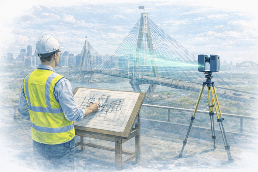
Large-Scale LiDAR Scanning Across Sydney’s Built Environment
Sydney 3D LiDAR scanning is increasingly used to understand, document, and manage complex, large-scale assets where traditional surveying or manual measurement is impractical, unsafe, or incomplete.
Across Sydney, LiDAR scanning supports infrastructure owners, asset managers, engineers, and project teams who need accurate spatial data of buildings, structures, corridors, and public assets — often while those assets remain operational.
At Hamilton By Design, we use LiDAR as a reality capture tool for understanding scale, geometry, and condition, not just producing drawings.
What Makes LiDAR Scanning Different at City Scale
Unlike small-area scanning for fabrication, urban LiDAR scanning is about:
- Capturing entire structures, not just components
- Understanding geometry across long distances and height
- Recording spatial relationships between assets
- Creating a permanent digital record of existing conditions
This makes LiDAR particularly effective for:
- Bridges and transport infrastructure
- Towers and vertical structures
- Campuses, precincts, and CBD assets
- Waterfront and port facilities
- Public and private buildings with restricted access
Common Uses of Sydney 3D LiDAR Scanning
LiDAR scanning in Sydney is frequently used for:
- As-built condition documentation
- Asset verification prior to upgrade or refurbishment
- Structural geometry validation
- Clearance and envelope studies
- Planning and constructability assessments
- Long-term asset management records
In many cases, LiDAR replaces assumptions, outdated drawings, or partial surveys with defensible spatial data.
Working in Live, Operational Environments
Sydney assets are rarely isolated or shutdown-friendly.
LiDAR scanning allows data capture:
- Without disrupting operations
- Without physical contact with structures
- From safe stand-off locations
- With repeatable, measurable accuracy
This is particularly valuable for:
- Transport corridors
- Public infrastructure
- High-traffic urban locations
- Heritage or difficult-access assets
Deliverables from a Sydney LiDAR Scan
Depending on project needs, deliverables may include:
- Registered point clouds (E57 / RCP / RCS)
- Plan, elevation, and section views
- Reference geometry for engineering studies
- Context models for planning and approvals
- Baseline datasets for future comparison
LiDAR data can stand alone as a digital record, or be used to inform later engineering and design work.
LiDAR as a Risk-Reduction Tool
For many Sydney projects, LiDAR scanning is commissioned before design decisions are locked in.
Typical drivers include:
- Uncertainty in existing documentation
- Risk of clashes or spatial conflicts
- Asset modifications in constrained environments
- High cost of access or rework
By capturing reality early, project teams reduce:
- Unknowns
- Re-measurement
- Design assumptions
- Late-stage surprises
Our clients:


Sydney Experience with National Reach
While our scanning work spans Australia, Sydney projects benefit from experience gained on:
- Large industrial sites
- Infrastructure upgrades
- Brownfield environments
- High-risk, high-consequence assets
This ensures LiDAR data is captured with engineering awareness, even when the immediate output is not a fabrication model.
When Sydney 3D LiDAR Scanning Makes Sense
LiDAR scanning is worth considering when:
- Assets are large, tall, or complex
- Access is limited or unsafe
- Existing drawings are incomplete
- Geometry matters more than aesthetics
- You need a defensible digital baseline

Start with Reality, Then Decide the Path Forward
Sydney 3D LiDAR scanning provides clarity before decisions are made — not after problems appear.
If you need reliable spatial data to support planning, verification, or future engineering work, we can help.
Connect with us by filling out the form below to discuss your Sydney LiDAR scanning requirements.